Three Ponds
Lake, Pool, Pond, Freshwater Marsh in Yorkshire Selby
England
Three Ponds
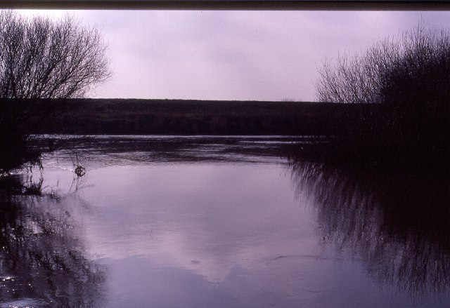
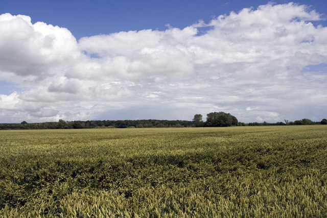
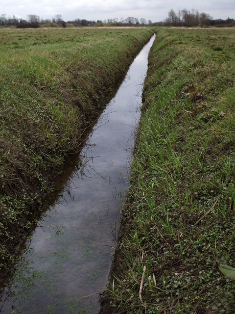
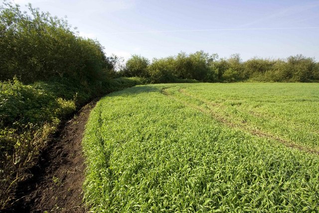
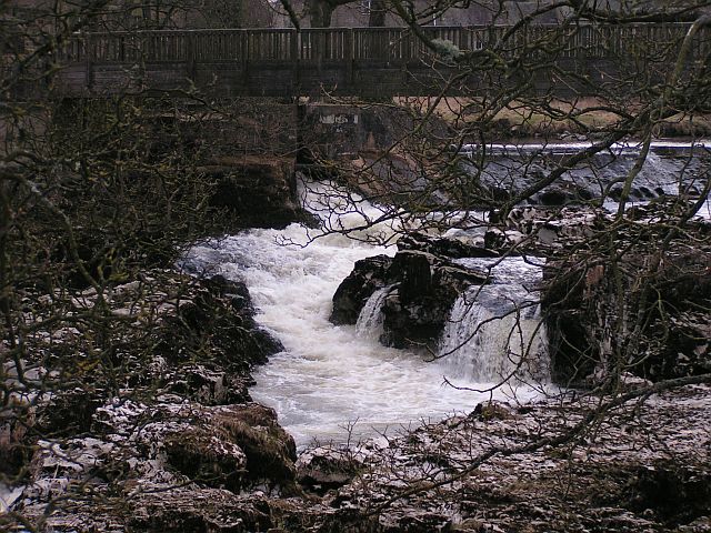
Three Ponds is a picturesque freshwater wetland located in the idyllic countryside of Yorkshire, England. Situated amidst rolling hills and lush greenery, this natural haven consists of three distinct bodies of water: a lake, a pool, and a pond, each offering its own unique charm.
The largest of the three, the lake, spans an impressive area of approximately 10 acres and is surrounded by a variety of vegetation. Its crystal-clear waters reflect the surrounding landscape, creating a mesmerizing sight for visitors. The lake is home to an array of aquatic plants and fish species, making it a popular spot for fishing enthusiasts and nature lovers alike.
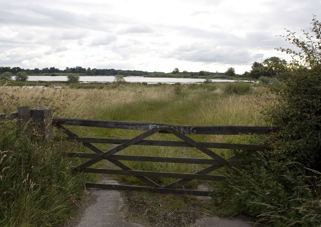
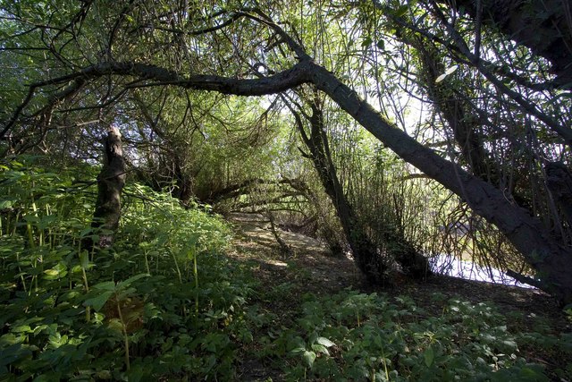
Adjacent to the lake, the pool is a smaller body of water encompassing around 2 acres. Its tranquil atmosphere and gentle currents make it an ideal spot for swimming and leisurely water activities. The pool is fringed with reeds and lilies, providing a natural habitat for a diverse range of bird species, including ducks and swans.
Tucked away amidst the verdant surroundings, the pond is a small, intimate water feature that adds to the charm of Three Ponds. Spanning less than an acre, it is characterized by its calm, reflective surface, perfect for quiet contemplation and relaxation. The pond is a haven for amphibians such as frogs and newts, as well as a variety of insects and small aquatic creatures.
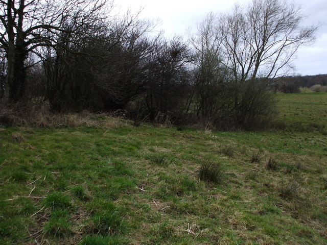
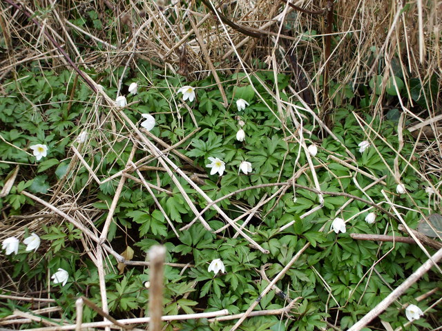
In addition to its three bodies of water, Three Ponds also boasts a freshwater marsh, which acts as a filtration system, purifying the water and providing a habitat for a multitude of plant and animal species. The marsh features an abundance of cattails, sedges, and other wetland vegetation, attracting a diverse range of birdlife.
Overall, Three Ponds, Yorkshire, offers a unique and captivating natural experience, with its stunning lakes, pools, ponds, and freshwater marsh, all contributing to its remarkable ecosystem and providing a sanctuary for both wildlife and visitors seeking solace in nature.
If you have any feedback on the listing, please let us know in the comments section below.
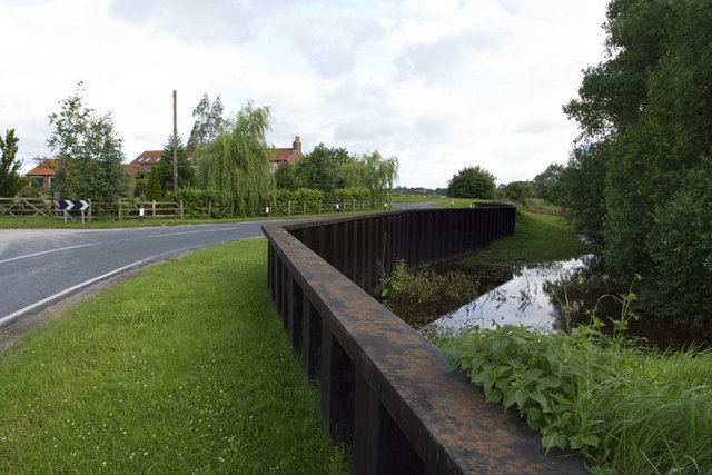
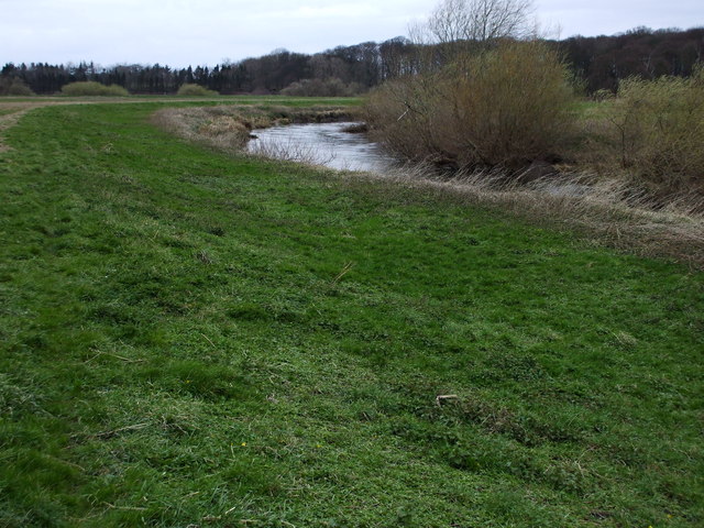
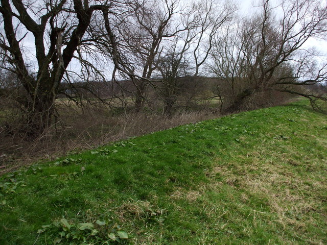
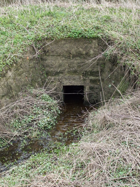
Three Ponds Images
Images are sourced within 2km of 53.857562/-1.1451769 or Grid Reference SE5640. Thanks to Geograph Open Source API. All images are credited.
Three Ponds is located at Grid Ref: SE5640 (Lat: 53.857562, Lng: -1.1451769)
Division: West Riding
Administrative County: North Yorkshire
District: Selby
Police Authority: North Yorkshire
What 3 Words
///bagels.sunbeam.commit. Near Cawood, North Yorkshire
Nearby Locations
Related Wikis
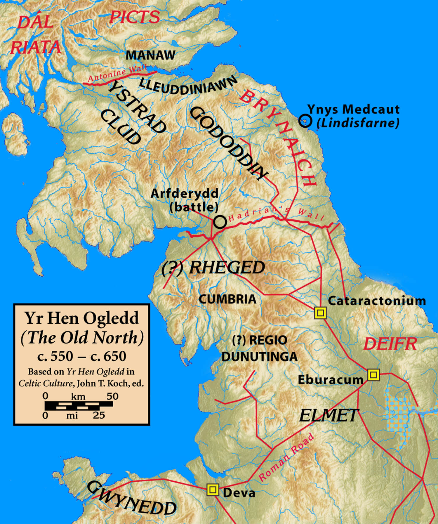
Elmet
Elmet (Welsh: Elfed), sometimes Elmed or Elmete, was an independent Brittonic Celtic Cumbric speaking kingdom between about the 4th century and mid 7th...

West Riding of Yorkshire
The West Riding of Yorkshire is one of three historic subdivisions of Yorkshire, England. From 1889 to 1974 the administrative county County of York, West...

Nun Appleton Priory
Nun Appleton Priory was a priory near Appleton Roebuck, North Yorkshire, England. It was founded as a nunnery c. 1150, by Eustace de Merch and his wife...

Ryther cum Ossendyke
Ryther cum Ossendyke is a civil parish 6 miles (9.7 km) from Tadcaster and 6 miles (9.7 km) from Selby, North Yorkshire, England. It includes the village...

All Saints' Church, Ryther
All Saints' Church is the parish church of Ryther cum Ossendyke, a village north-west of Selby in Yorkshire, in England. The church was originally built...
Acaster Selby
Acaster Selby is a village in North Yorkshire, England. It is part of the joint civil parish with Appleton Roebuck (where the population is now included...

Bishopthorpe Rural District
Bishopthorpe was a rural district in the West Riding of Yorkshire from 1894 to 1937. It was formed under the Local Government Act 1894 from that part of...
River Wharfe
The River Wharfe ( WHORF) is a river in Yorkshire, England originating within the Yorkshire Dales National Park. For much of its middle course it is the...
Nearby Amenities
Located within 500m of 53.857562,-1.1451769Have you been to Three Ponds?
Leave your review of Three Ponds below (or comments, questions and feedback).