The Mount
Hill, Mountain in Yorkshire Selby
England
The Mount
The Mount, located in the region of Yorkshire, is a prominent hill that forms part of the breathtaking landscape in the area. Standing tall at an elevation of approximately 365 meters (1,198 feet), it offers an awe-inspiring view of the surrounding countryside and is a popular attraction for nature enthusiasts and hikers alike.
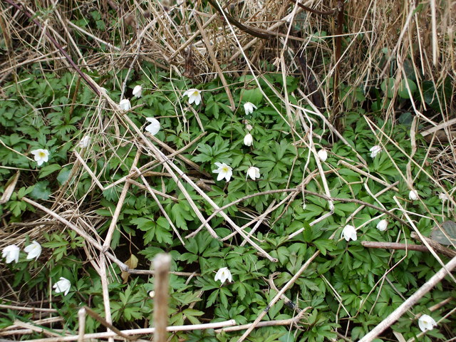
The hill is composed of a variety of geological formations, including limestone, sandstone, and shale, lending it a unique and diverse terrain that is a delight to explore. The Mount is covered in lush greenery, with patches of vibrant wildflowers dotting the landscape during the warmer months.
The summit of The Mount provides a panoramic view of the Yorkshire Dales, with its rolling hills and meandering rivers stretching out as far as the eye can see. On clear days, visitors can even catch a glimpse of the distant Pennine Mountains, adding to the area's scenic beauty.
The Mount is home to an array of wildlife, making it a haven for nature lovers. Birdwatchers can spot various species of birds, including kestrels, buzzards, and peregrine falcons, soaring through the skies above. The hillside is also inhabited by rabbits, foxes, and deer, adding to the natural charm of the area.
Hikers and walkers are drawn to The Mount's well-maintained trails, which cater to all levels of fitness. Whether embarking on a leisurely stroll or a more challenging hike, visitors can immerse themselves in the tranquility and natural splendor of this Yorkshire gem.
If you have any feedback on the listing, please let us know in the comments section below.
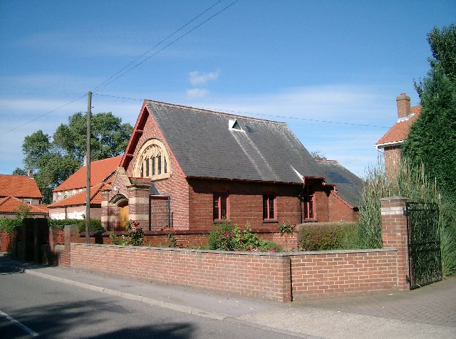
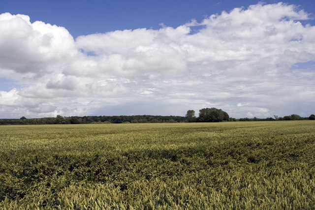
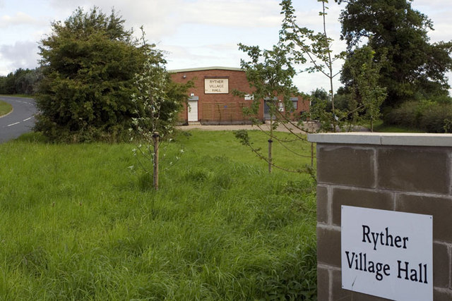
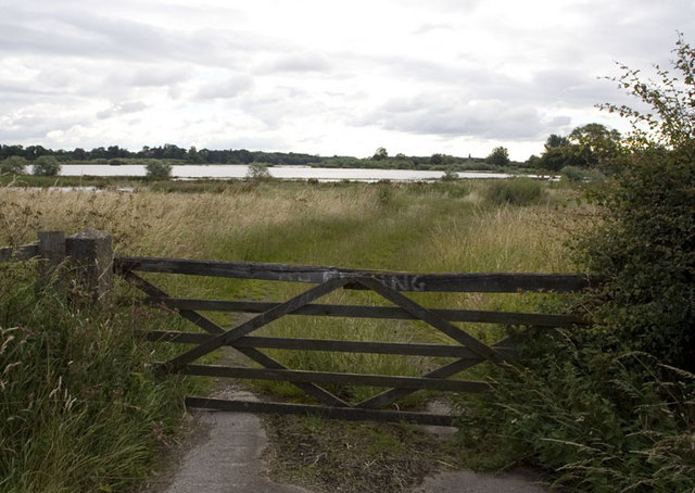
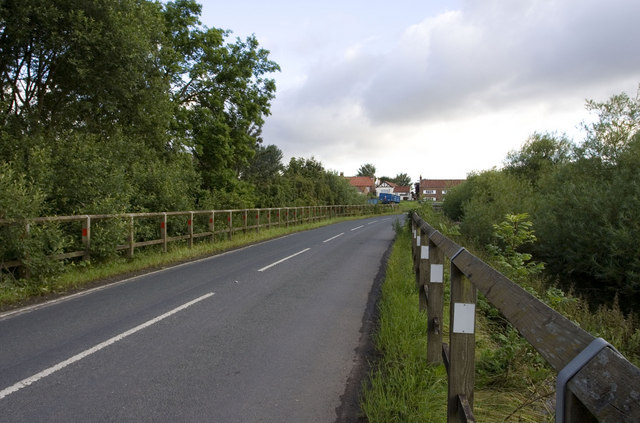
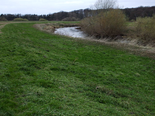
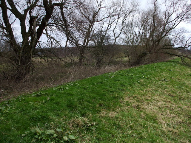
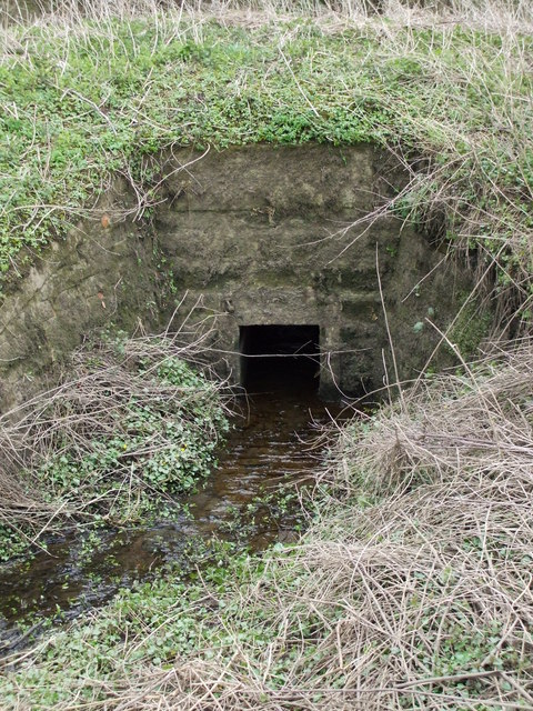
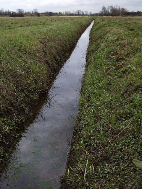
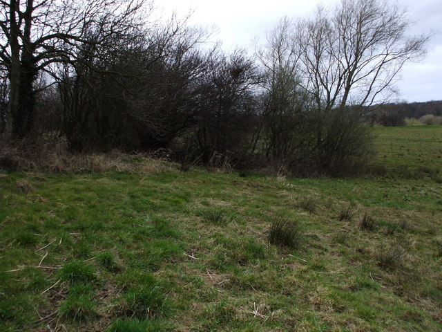
The Mount Images
Images are sourced within 2km of 53.858728/-1.1486653 or Grid Reference SE5640. Thanks to Geograph Open Source API. All images are credited.


The Mount is located at Grid Ref: SE5640 (Lat: 53.858728, Lng: -1.1486653)
Division: West Riding
Administrative County: North Yorkshire
District: Selby
Police Authority: North Yorkshire
What 3 Words
///lotteries.sunroof.lentil. Near Cawood, North Yorkshire
Nearby Locations
Related Wikis
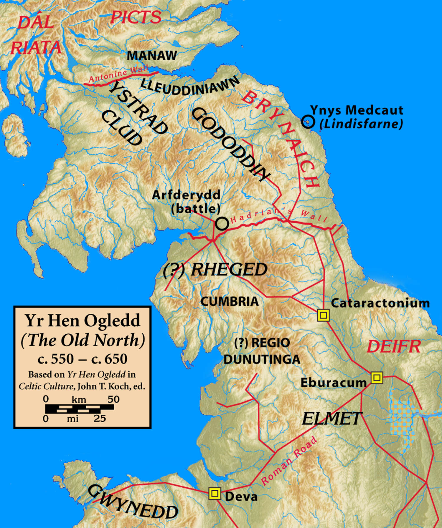
Elmet
Elmet (Welsh: Elfed), sometimes Elmed or Elmete, was an independent Brittonic Celtic Cumbric speaking kingdom between about the 4th century and mid 7th...

West Riding of Yorkshire
The West Riding of Yorkshire is one of three historic subdivisions of Yorkshire, England. From 1889 to 1974 the administrative county County of York, West...

Nun Appleton Priory
Nun Appleton Priory was a priory near Appleton Roebuck, North Yorkshire, England. It was founded as a nunnery c. 1150, by Eustace de Merch and his wife...

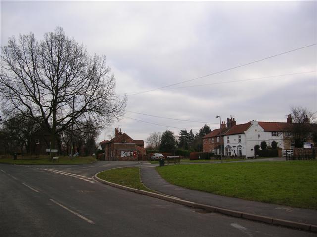
Ryther cum Ossendyke
Ryther cum Ossendyke is a civil parish 6 miles (9.7 km) from Tadcaster and 6 miles (9.7 km) from Selby, North Yorkshire, England. It includes the village...

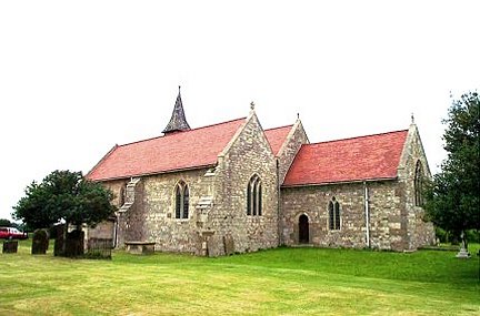
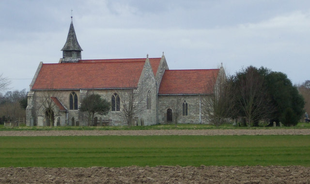
All Saints' Church, Ryther
All Saints' Church is the parish church of Ryther cum Ossendyke, a village north-west of Selby in Yorkshire, in England. The church was originally built...

Bishopthorpe Rural District
Bishopthorpe was a rural district in the West Riding of Yorkshire from 1894 to 1937. It was formed under the Local Government Act 1894 from that part of...
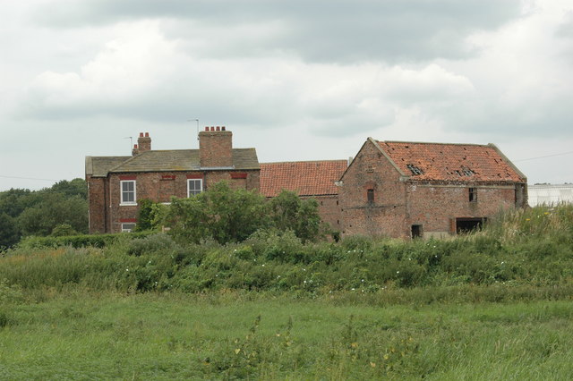
Acaster Selby
Acaster Selby is a village in North Yorkshire, England. It is part of the joint civil parish with Appleton Roebuck (where the population is now included...
Appleton Roebuck
Appleton Roebuck is a village and civil parish in the former Selby District of North Yorkshire, England. It had a population of 692 according to the 2001...
Nearby Amenities
Located within 500m of 53.858728,-1.1486653Have you been to The Mount?
Leave your review of The Mount below (or comments, questions and feedback).