Hell Hole Wood
Wood, Forest in Yorkshire Selby
England
Hell Hole Wood
Hell Hole Wood is a picturesque forest located in the county of Yorkshire, England. Nestled in the heart of the Yorkshire Dales National Park, this ancient woodland covers an area of approximately 50 hectares. The name "Hell Hole" is derived from the Old English word "hellehol," which refers to a hidden or secluded place.
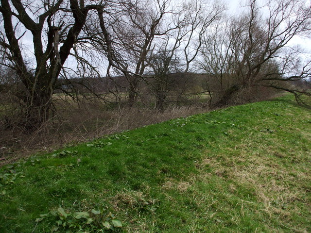
The wood is characterized by its diverse range of trees, including oak, beech, ash, and birch. The dense canopy created by these towering giants provides a cool and shady atmosphere, making it a haven for various wildlife species. Visitors to Hell Hole Wood can expect to encounter a variety of birds, such as woodpeckers, owls, and songbirds, as well as small mammals like squirrels and rabbits.
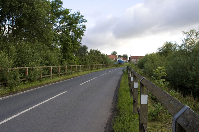
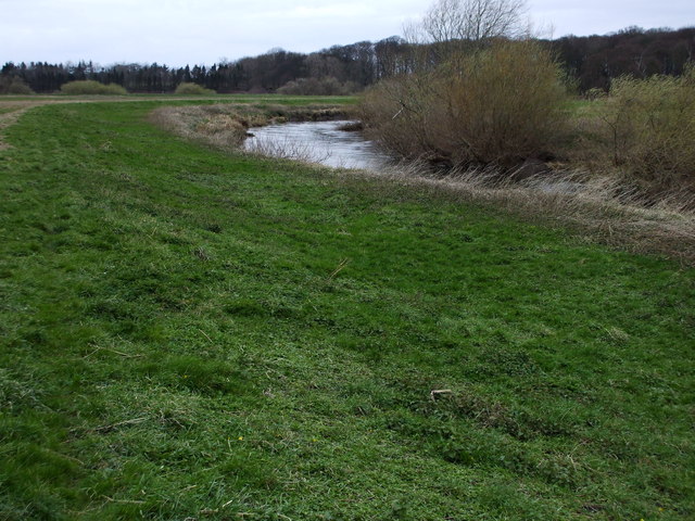
Traversing the woodland is made easy by a network of well-maintained footpaths, allowing visitors to explore its beauty at their own pace. The paths wind through the enchanting forest, leading to hidden glades and bubbling streams, creating a sense of tranquility and escape from the outside world.
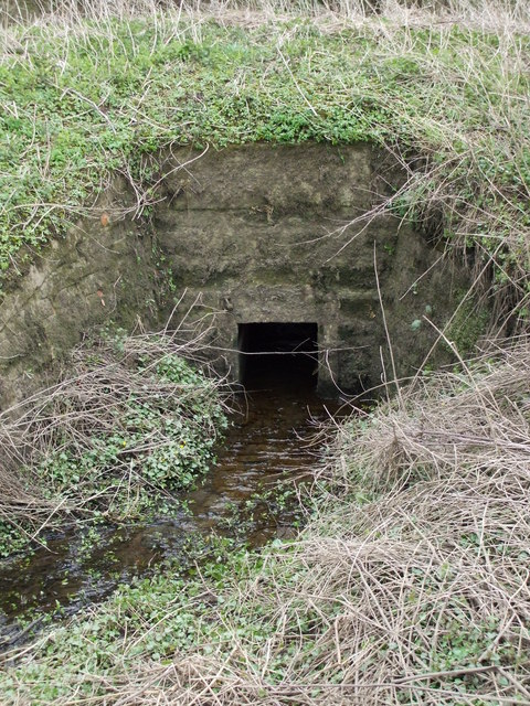
Hell Hole Wood also holds historical significance, with traces of ancient settlements and remnants of charcoal pits dating back to the Iron Age. These archaeological features offer a glimpse into the wood's rich cultural heritage.
With its natural beauty, diverse flora and fauna, and historical importance, Hell Hole Wood is a popular destination for nature lovers, hikers, and those seeking a peaceful retreat in the heart of Yorkshire.
If you have any feedback on the listing, please let us know in the comments section below.
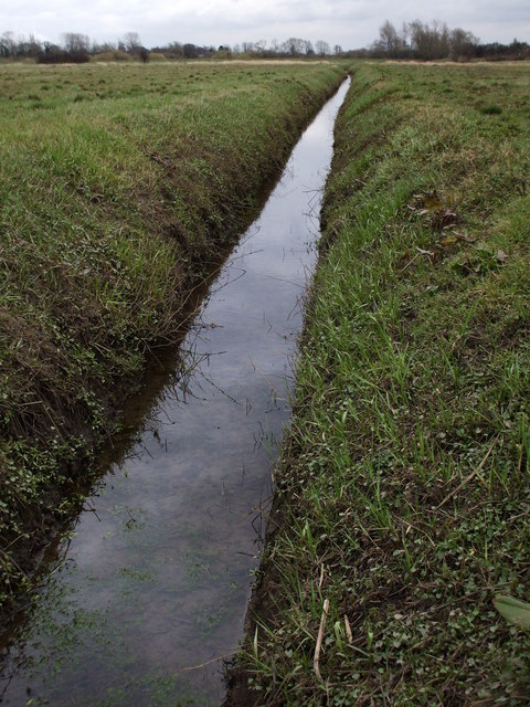
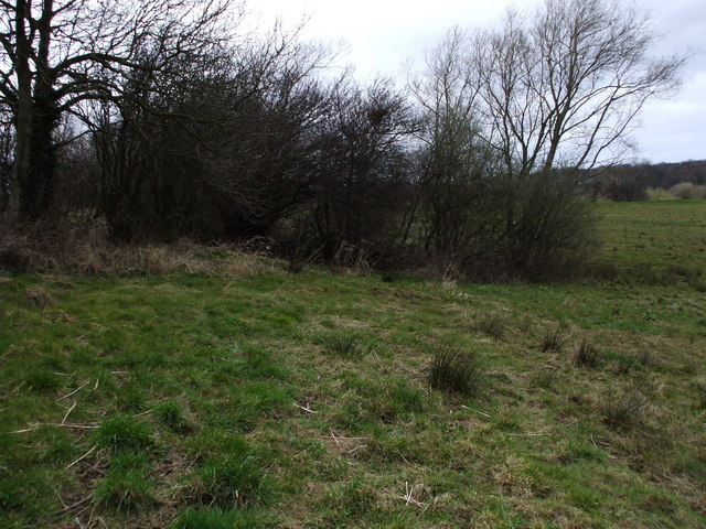
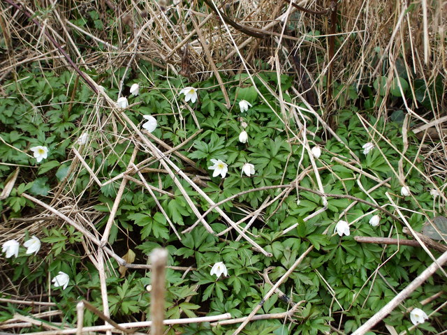
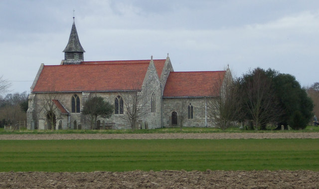
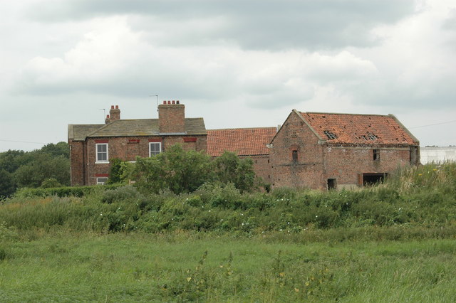
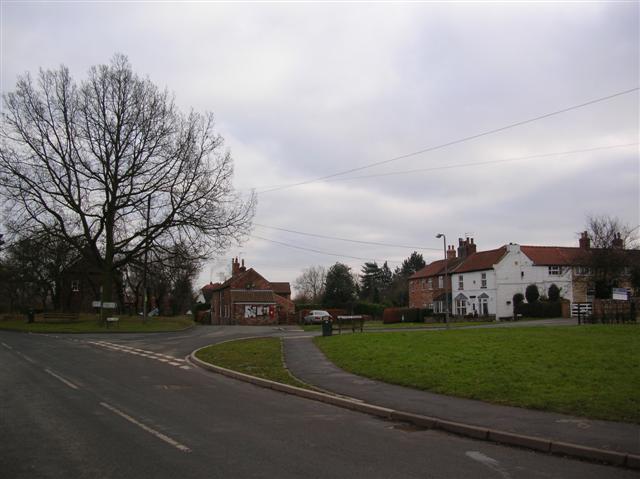
Hell Hole Wood Images
Images are sourced within 2km of 53.860881/-1.1467362 or Grid Reference SE5640. Thanks to Geograph Open Source API. All images are credited.


Hell Hole Wood is located at Grid Ref: SE5640 (Lat: 53.860881, Lng: -1.1467362)
Division: West Riding
Administrative County: North Yorkshire
District: Selby
Police Authority: North Yorkshire
What 3 Words
///remodels.footballers.rushed. Near Cawood, North Yorkshire
Nearby Locations
Related Wikis
Elmet
Elmet (Welsh: Elfed), sometimes Elmed or Elmete, was an independent Brittonic Celtic Cumbric speaking kingdom between about the 4th century and mid 7th...

West Riding of Yorkshire
The West Riding of Yorkshire is one of three historic subdivisions of Yorkshire, England. From 1889 to 1974 the administrative county County of York, West...

Nun Appleton Priory
Nun Appleton Priory was a priory near Appleton Roebuck, North Yorkshire, England. It was founded as a nunnery c. 1150, by Eustace de Merch and his wife...

Bishopthorpe Rural District
Bishopthorpe was a rural district in the West Riding of Yorkshire from 1894 to 1937. It was formed under the Local Government Act 1894 from that part of...
Acaster Selby
Acaster Selby is a village in North Yorkshire, England. It is part of the joint civil parish with Appleton Roebuck (where the population is now included...
Appleton Roebuck
Appleton Roebuck is a village and civil parish in the former Selby District of North Yorkshire, England. It had a population of 692 according to the 2001...

Ryther cum Ossendyke
Ryther cum Ossendyke is a civil parish 6 miles (9.7 km) from Tadcaster and 6 miles (9.7 km) from Selby, North Yorkshire, England. It includes the village...

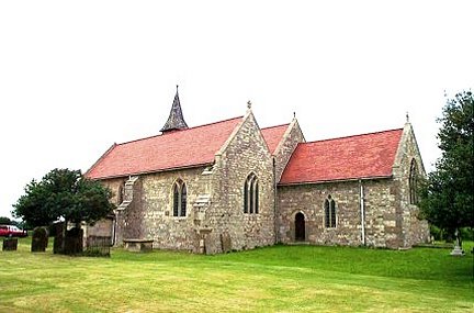
All Saints' Church, Ryther
All Saints' Church is the parish church of Ryther cum Ossendyke, a village north-west of Selby in Yorkshire, in England. The church was originally built...
Nearby Amenities
Located within 500m of 53.860881,-1.1467362Have you been to Hell Hole Wood?
Leave your review of Hell Hole Wood below (or comments, questions and feedback).