Home Farm Plantation
Wood, Forest in Yorkshire Selby
England
Home Farm Plantation
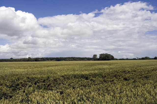
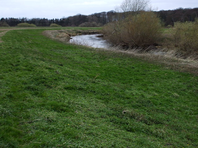
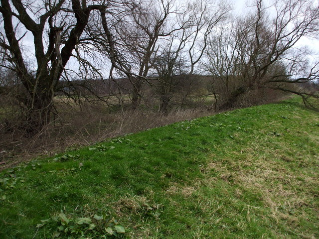
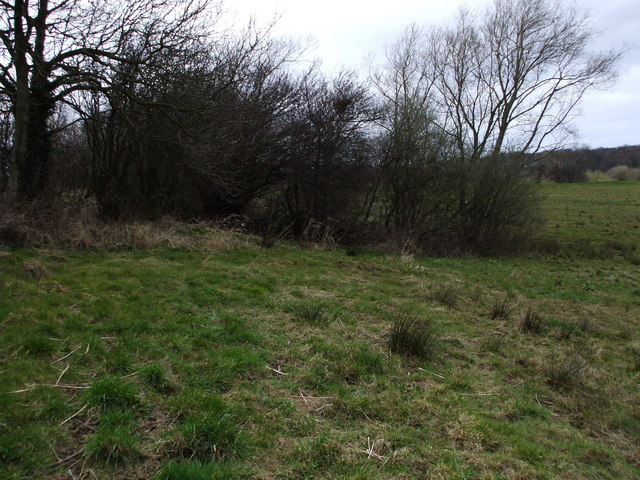
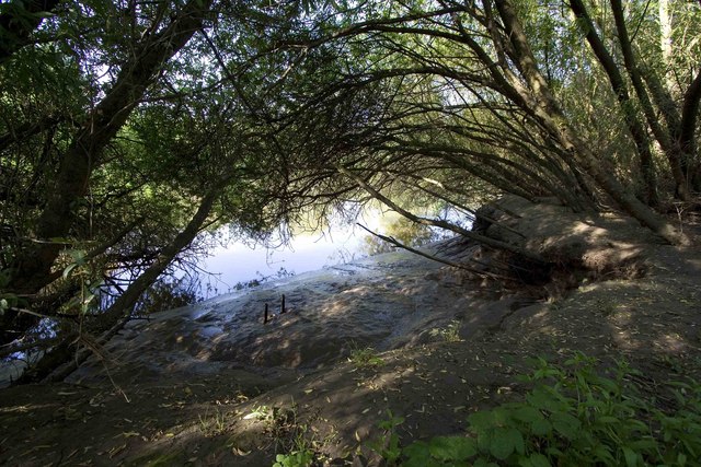
Home Farm Plantation is a picturesque woodland located in Yorkshire, England. Spanning over a vast area, this plantation is renowned for its lush greenery and exquisite natural beauty. The plantation is situated in the heart of Yorkshire's countryside, offering a serene and peaceful environment for visitors to enjoy.
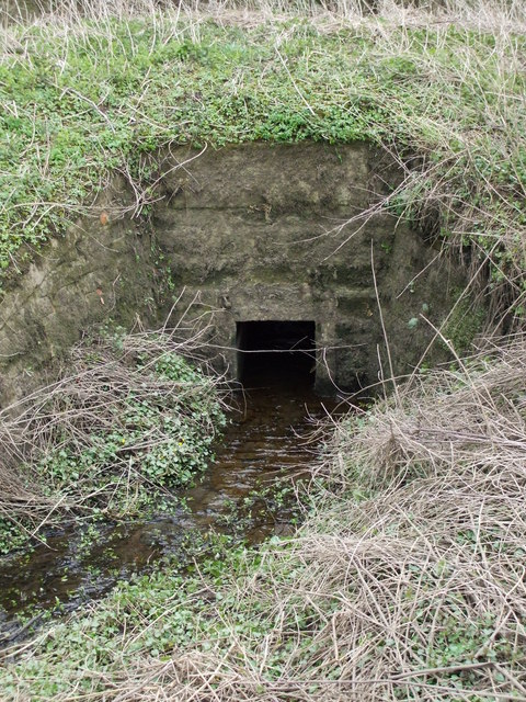
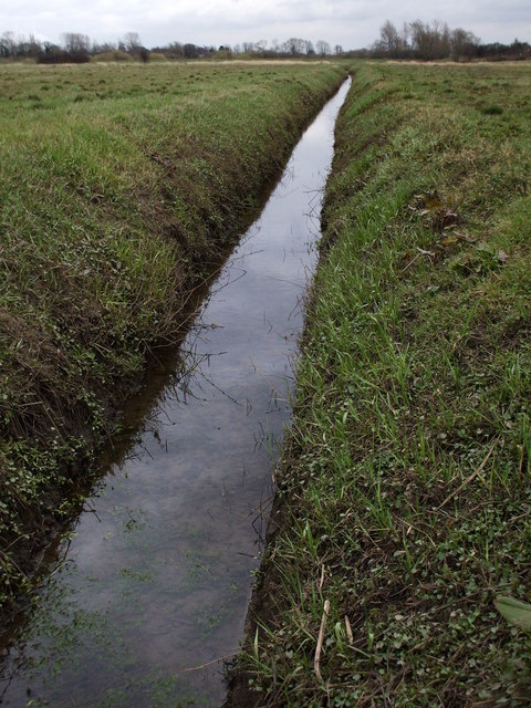
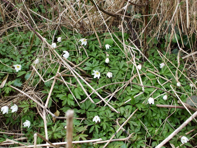
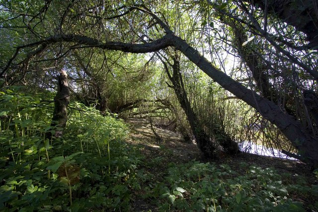
The woodland is home to a diverse range of plant species, including tall oak trees, majestic pines, and vibrant wildflowers. The dense forest provides shelter to various wildlife, making it an ideal spot for nature enthusiasts and birdwatchers. Visitors often spot squirrels, rabbits, and a variety of bird species during their exploration of the plantation.
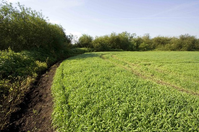
Home Farm Plantation is also a popular destination for outdoor activities such as hiking and cycling. The plantation features well-maintained trails that allow visitors to explore the woodland at their own pace. The tranquil atmosphere and scenic views make it a perfect retreat for those seeking a break from the hustle and bustle of city life.
In addition to its natural beauty, Home Farm Plantation offers a range of amenities for visitors. There are picnic areas and seating spots scattered throughout the woodland, providing a perfect setting for a family outing or a quiet afternoon with friends. The plantation also offers guided tours and educational programs to promote awareness and appreciation for the local ecosystem.
Overall, Home Farm Plantation in Yorkshire is a captivating destination for nature lovers, offering a unique blend of natural beauty and recreational opportunities. Whether one seeks tranquility or adventure, this plantation is sure to provide an unforgettable experience.
If you have any feedback on the listing, please let us know in the comments section below.
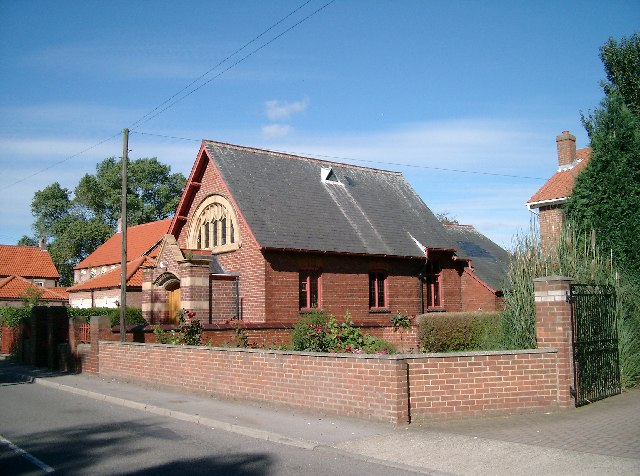
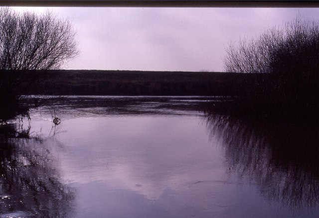
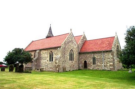
Home Farm Plantation Images
Images are sourced within 2km of 53.858618/-1.1458091 or Grid Reference SE5640. Thanks to Geograph Open Source API. All images are credited.

Home Farm Plantation is located at Grid Ref: SE5640 (Lat: 53.858618, Lng: -1.1458091)
Division: West Riding
Administrative County: North Yorkshire
District: Selby
Police Authority: North Yorkshire
What 3 Words
///choice.discusses.indeed. Near Cawood, North Yorkshire
Nearby Locations
Related Wikis
Elmet
Elmet (Welsh: Elfed), sometimes Elmed or Elmete, was an independent Brittonic Celtic Cumbric speaking kingdom between about the 4th century and mid 7th...

West Riding of Yorkshire
The West Riding of Yorkshire is one of three historic subdivisions of Yorkshire, England. From 1889 to 1974 the administrative county County of York, West...

Nun Appleton Priory
Nun Appleton Priory was a priory near Appleton Roebuck, North Yorkshire, England. It was founded as a nunnery c. 1150, by Eustace de Merch and his wife...
Acaster Selby
Acaster Selby is a village in North Yorkshire, England. It is part of the joint civil parish with Appleton Roebuck (where the population is now included...

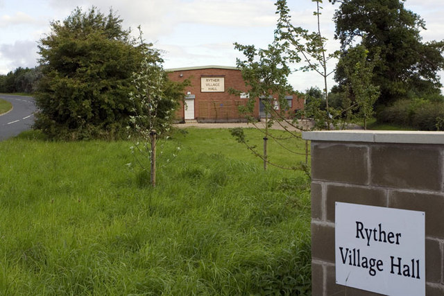
Ryther cum Ossendyke
Ryther cum Ossendyke is a civil parish 6 miles (9.7 km) from Tadcaster and 6 miles (9.7 km) from Selby, North Yorkshire, England. It includes the village...

All Saints' Church, Ryther
All Saints' Church is the parish church of Ryther cum Ossendyke, a village north-west of Selby in Yorkshire, in England. The church was originally built...

Bishopthorpe Rural District
Bishopthorpe was a rural district in the West Riding of Yorkshire from 1894 to 1937. It was formed under the Local Government Act 1894 from that part of...
Appleton Roebuck
Appleton Roebuck is a village and civil parish in the former Selby District of North Yorkshire, England. It had a population of 692 according to the 2001...
Nearby Amenities
Located within 500m of 53.858618,-1.1458091Have you been to Home Farm Plantation?
Leave your review of Home Farm Plantation below (or comments, questions and feedback).