Devauden
Community in Monmouthshire
Wales
Devauden
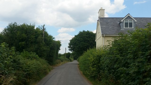
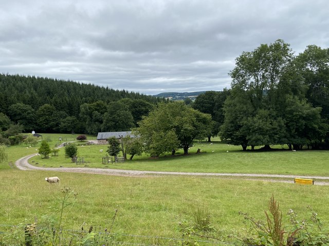
Devauden is a small rural community located in Monmouthshire, Wales. Situated in the eastern part of the county, it lies on the edge of the picturesque Wye Valley, known for its stunning landscapes and natural beauty. The community covers an area of around 10 square miles.
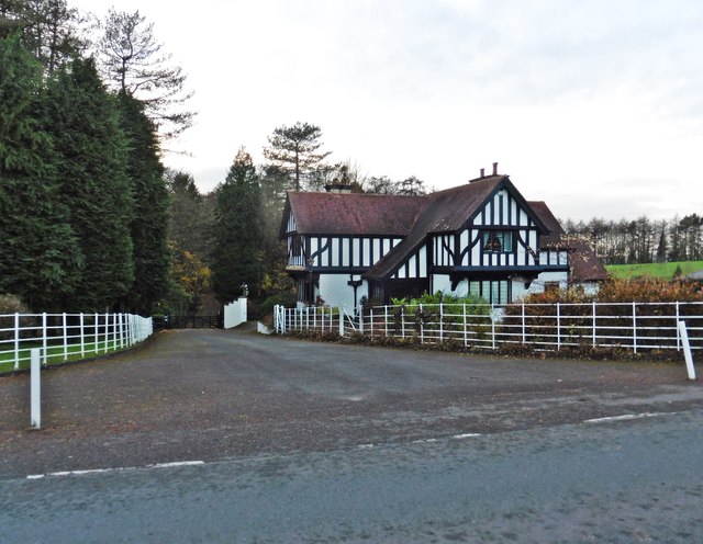
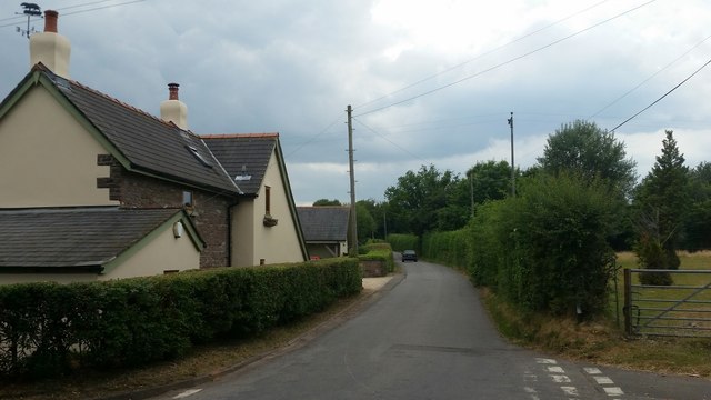
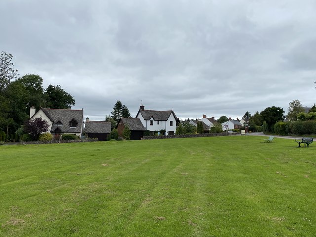
Devauden is home to a population of approximately 400 residents, living in a mix of traditional stone cottages, modern houses, and farmsteads. The community is known for its tight-knit and welcoming atmosphere, with a strong sense of community spirit.
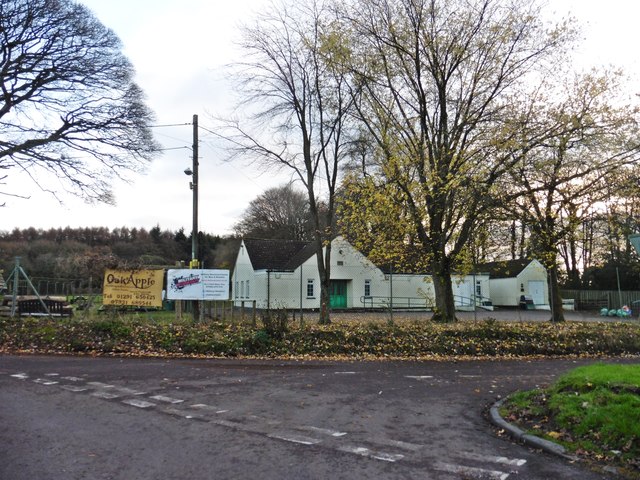
The village itself features a number of amenities, including a local pub, a village hall, and a primary school. The pub serves as a popular meeting place for locals and visitors alike, offering a range of food and drink options.
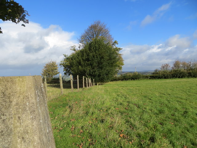
Surrounded by rolling hills and woodland, Devauden offers numerous opportunities for outdoor activities such as hiking, cycling, and horse riding. The area is also known for its abundance of wildlife, making it an ideal destination for nature enthusiasts.
Despite its rural setting, Devauden benefits from good transport links, with easy access to nearby towns and cities such as Chepstow and Newport. The community is also within reach of the M4 motorway, providing convenient connections to Bristol and Cardiff.
Overall, Devauden is a charming and idyllic community, offering a peaceful and picturesque lifestyle for its residents, as well as attracting visitors who seek a tranquil retreat in the heart of the Welsh countryside.
If you have any feedback on the listing, please let us know in the comments section below.
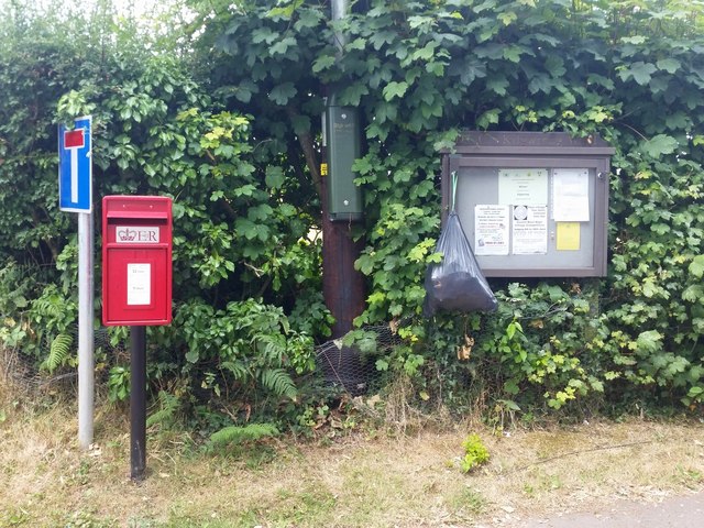
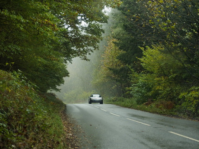
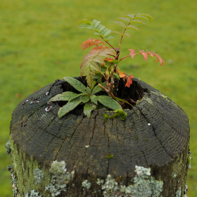
Devauden Images
Images are sourced within 2km of 51.685668/-2.762729 or Grid Reference ST4798. Thanks to Geograph Open Source API. All images are credited.


Devauden is located at Grid Ref: ST4798 (Lat: 51.685668, Lng: -2.762729)
Unitary Authority: Monmouthshire
Police Authority: Gwent
What 3 Words
///listen.price.topic. Near Llangwm, Monmouthshire
Nearby Locations
Related Wikis

Tredean House, Devauden
Tredean House, Devauden, Monmouthshire is a country house dating from 1901 to 1902. It was designed in an Arts and Crafts style by the architect Arthur...

Kilgwrrwg
Kilgwrrwg (Welsh: Cilgwrrwg) is a rural parish in Monmouthshire, south east Wales, United Kingdom. It is located 7 miles (11 km) north west of Chepstow...

Devauden
Devauden (Welsh: Y Dyfawden) is a village and community in Monmouthshire, southeast Wales. It is located between Chepstow and Monmouth near the top of...

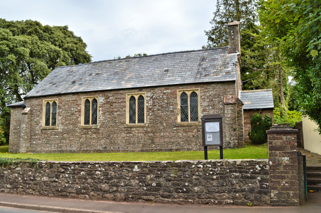
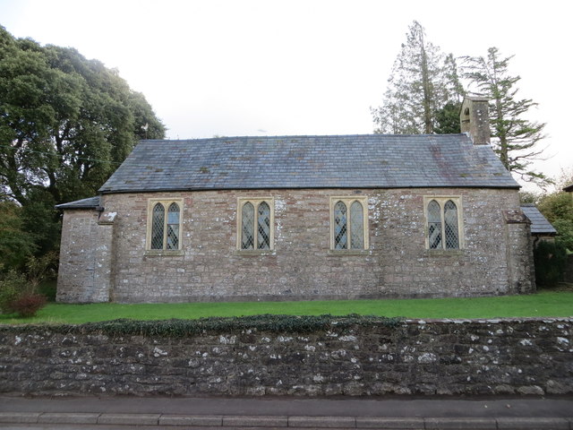
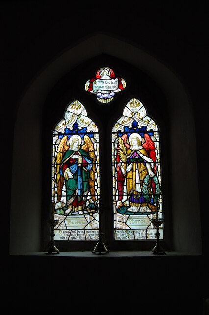
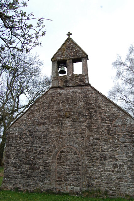
Church of the Holy Cross, Kilgwrrwg
The Church of the Holy Cross, Kilgwrrwg, Monmouthshire, Wales, is an early medieval parish church that once supported a now abandoned village. A Grade...
Nearby Amenities
Located within 500m of 51.685668,-2.762729Have you been to Devauden?
Leave your review of Devauden below (or comments, questions and feedback).