Kilgwrrwg Common
Settlement in Monmouthshire
Wales
Kilgwrrwg Common
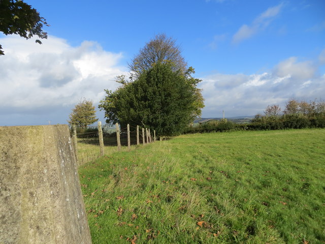
Kilgwrrwg Common is a picturesque area located in Monmouthshire, Wales. Situated in the eastern part of the county, it covers approximately 400 acres of rolling countryside and is characterized by its unique blend of natural beauty and historical significance.
The common is known for its diverse flora and fauna, making it a haven for nature enthusiasts and wildlife lovers. It boasts a variety of habitats, including woodlands, heathlands, and wetlands, which support a wide range of plant and animal species. Visitors can spot rare birds, such as the red kite and the pied flycatcher, as well as various wildflowers and butterflies.
Apart from its natural attractions, Kilgwrrwg Common also holds historical importance. The area is home to several ancient monuments, including a Bronze Age burial mound known as a cairn. This archaeological site provides insights into the region's rich past and offers visitors a chance to delve into the area's prehistoric heritage.
The common is easily accessible, with well-maintained footpaths and trails that allow visitors to explore its beauty on foot or by bike. It also offers stunning panoramic views of the surrounding countryside, with the nearby Blorenge Mountain adding to the scenic charm.
Overall, Kilgwrrwg Common is a hidden gem in Monmouthshire, offering a tranquil escape from the hustle and bustle of everyday life. Its combination of natural wonders and historical treasures makes it a must-visit destination for those seeking a peaceful retreat and an opportunity to connect with nature and history.
If you have any feedback on the listing, please let us know in the comments section below.
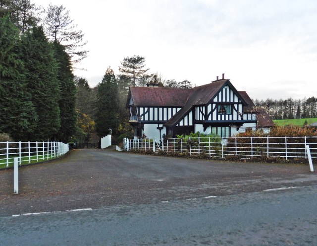
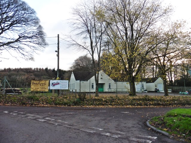
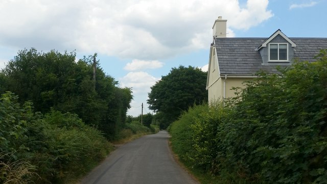
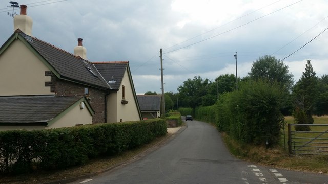
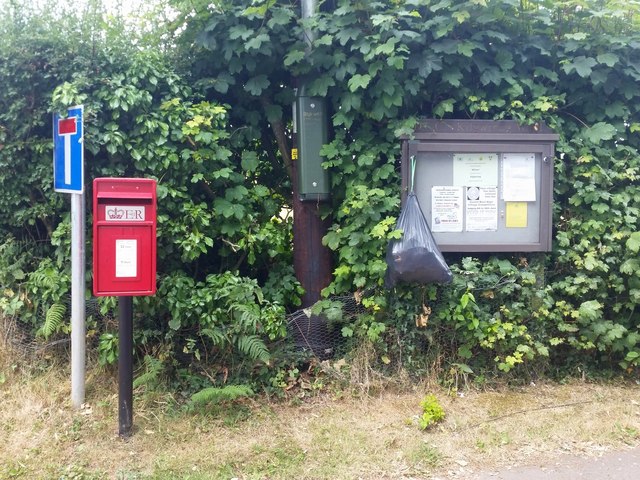
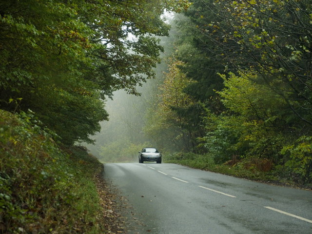
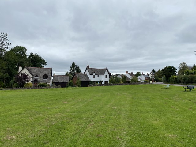
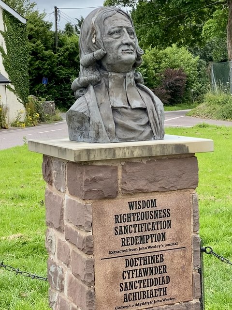
Kilgwrrwg Common Images
Images are sourced within 2km of 51.678252/-2.7679239 or Grid Reference ST4798. Thanks to Geograph Open Source API. All images are credited.


Kilgwrrwg Common is located at Grid Ref: ST4798 (Lat: 51.678252, Lng: -2.7679239)
Unitary Authority: Monmouthshire
Police Authority: Gwent
What 3 Words
///metals.rave.drizzly. Near Llangwm, Monmouthshire
Nearby Locations
Related Wikis

Kilgwrrwg
Kilgwrrwg (Welsh: Cilgwrrwg) is a rural parish in Monmouthshire, south east Wales, United Kingdom. It is located 7 miles (11 km) north west of Chepstow...

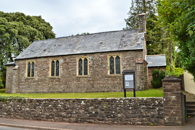
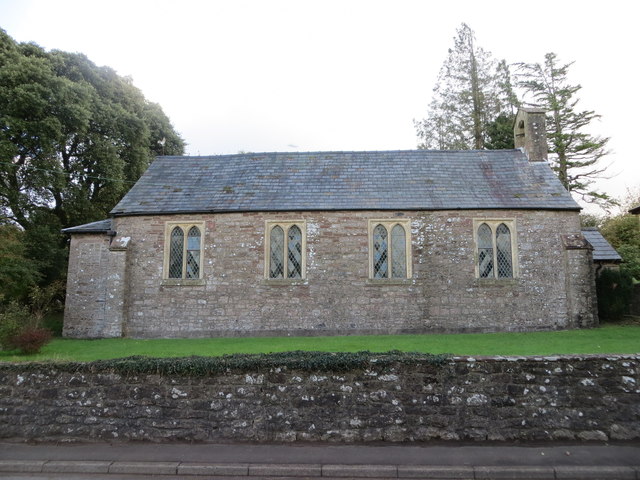
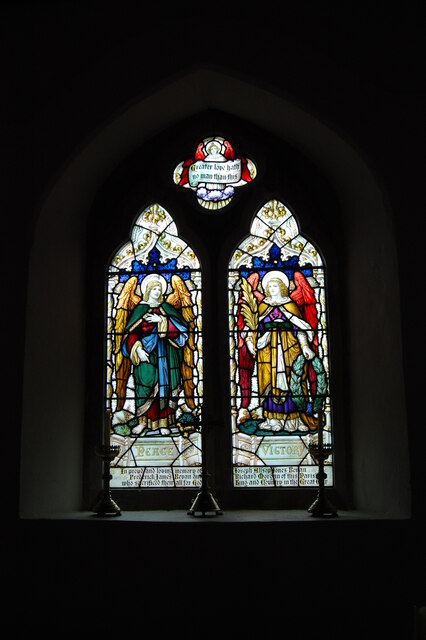
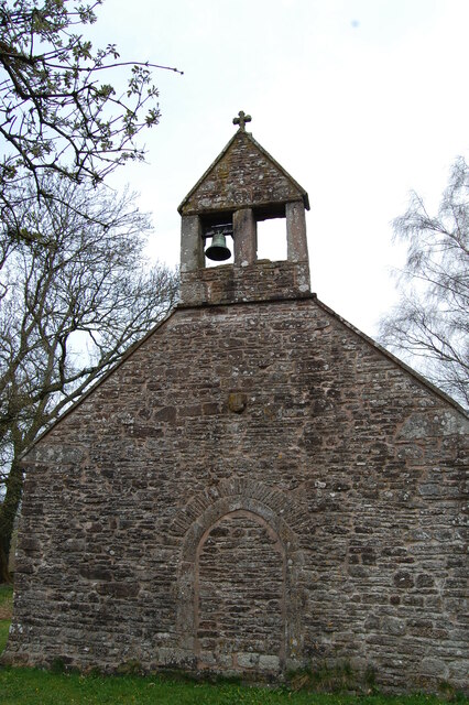
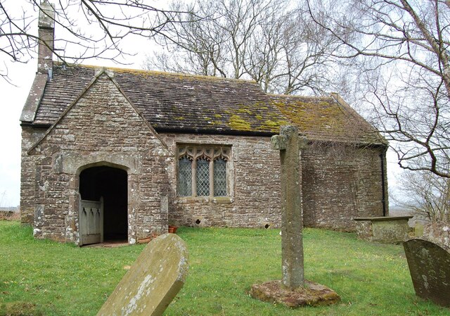
Church of the Holy Cross, Kilgwrrwg
The Church of the Holy Cross, Kilgwrrwg, Monmouthshire, Wales, is an early medieval parish church that once supported a now abandoned village. A Grade...

Tredean House, Devauden
Tredean House, Devauden, Monmouthshire is a country house dating from 1901 to 1902. It was designed in an Arts and Crafts style by the architect Arthur...

Newchurch, Monmouthshire
Newchurch (Welsh: Yr Eglwys Newydd ar y Cefn, meaning "new church on the ridge") is an extensive rural parish and small hamlet in Monmouthshire, south...

Devauden
Devauden (Welsh: Y Dyfawden) is a village and community in Monmouthshire, southeast Wales. It is located between Chepstow and Monmouth near the top of...

Wolvesnewton
Wolvesnewton (Welsh: Llanwynell) is a small village in Monmouthshire, Wales. == Location == Wolvesnewton, sometimes historically Wolves Newton, is in the...
Church of St Thomas à Becket, Wolvesnewton
The Church of Saint Thomas à Becket in Wolvesnewton, Monmouthshire, Wales has its origins in the 13th century. Restored in the 19th century, it remains...

Gaerllwyd
Gaerllwyd is a village in Monmouthshire, south east Wales, United Kingdom. == Location == Gaerllwyd is located 6 miles (9.7 km) south east of Usk and 7...
Nearby Amenities
Located within 500m of 51.678252,-2.7679239Have you been to Kilgwrrwg Common?
Leave your review of Kilgwrrwg Common below (or comments, questions and feedback).