Kilgwrrwg
Settlement in Monmouthshire
Wales
Kilgwrrwg
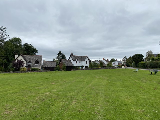
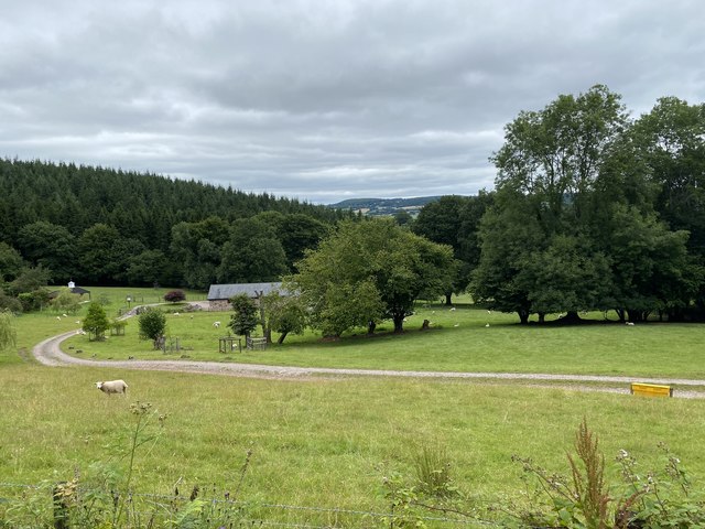
Kilgwrrwg is a small village located in Monmouthshire, Wales. Situated in the southeastern part of the county, it lies amidst the beautiful rolling hills and valleys of the Welsh countryside. The village is nestled in a picturesque setting, surrounded by lush green fields and bordered by the River Wye to the east.
With a population of around 200 residents, Kilgwrrwg is a close-knit community that exudes a peaceful and tranquil ambiance. The village is known for its charming traditional cottages, many of which date back several centuries and are constructed using local materials such as stone and thatched roofs. These historic buildings add to the village's character and charm.
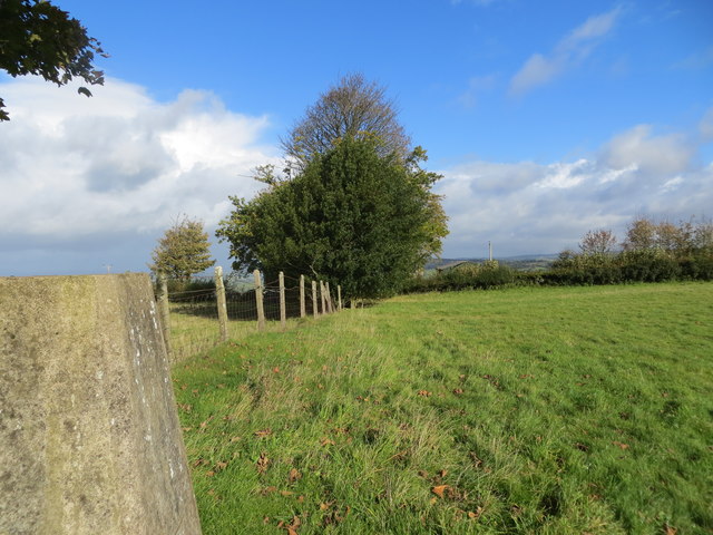
Kilgwrrwg is a place where nature enthusiasts can truly indulge in the beauty of the great outdoors. The surrounding landscape offers numerous walking trails and scenic viewpoints, allowing visitors to immerse themselves in the breathtaking views of Monmouthshire's countryside. The nearby River Wye also provides opportunities for fishing and boating enthusiasts.
While the village is primarily residential, it does have a few amenities to serve its residents and visitors. There is a community center that hosts various events and activities throughout the year, bringing the community together. Additionally, a local pub offers a cozy spot for residents and visitors to relax and enjoy a meal or drink.
Overall, Kilgwrrwg offers a peaceful and idyllic retreat for those seeking a taste of rural life in the heart of Monmouthshire. Its natural beauty and historic charm make it a hidden gem worth exploring.
If you have any feedback on the listing, please let us know in the comments section below.
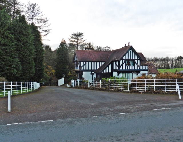
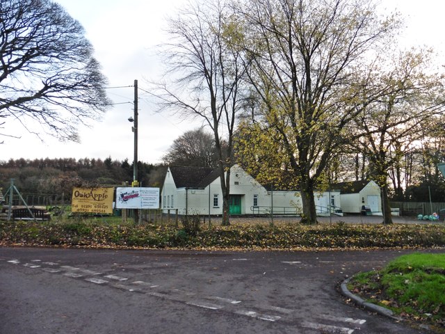
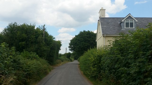
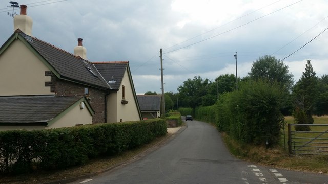
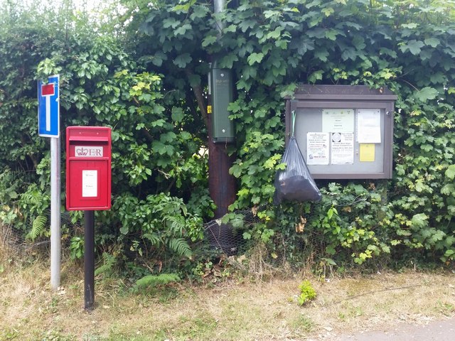
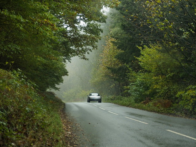
Kilgwrrwg Images
Images are sourced within 2km of 51.680775/-2.763023 or Grid Reference ST4798. Thanks to Geograph Open Source API. All images are credited.


Kilgwrrwg is located at Grid Ref: ST4798 (Lat: 51.680775, Lng: -2.763023)
Unitary Authority: Monmouthshire
Police Authority: Gwent
Also known as: Cilgwrrwg
What 3 Words
///deck.lollipop.blacked. Near Llangwm, Monmouthshire
Nearby Locations
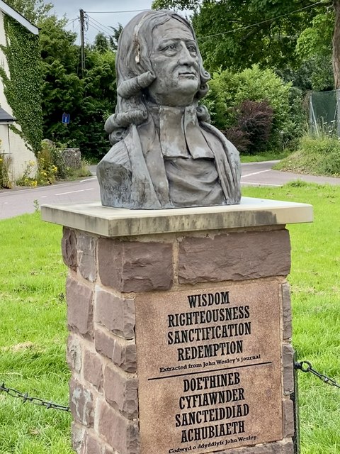
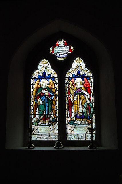
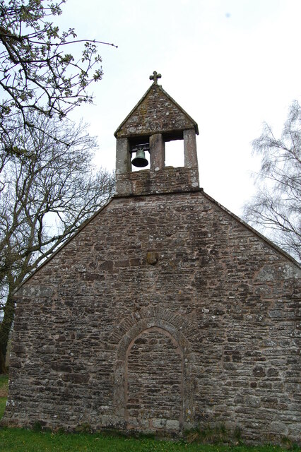
Related Wikis

Kilgwrrwg
Kilgwrrwg (Welsh: Cilgwrrwg) is a rural parish in Monmouthshire, south east Wales, United Kingdom. It is located 7 miles (11 km) north west of Chepstow...

Tredean House, Devauden
Tredean House, Devauden, Monmouthshire is a country house dating from 1901 to 1902. It was designed in an Arts and Crafts style by the architect Arthur...

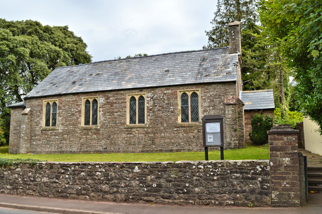
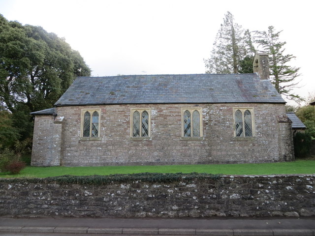
Church of the Holy Cross, Kilgwrrwg
The Church of the Holy Cross, Kilgwrrwg, Monmouthshire, Wales, is an early medieval parish church that once supported a now abandoned village. A Grade...

Devauden
Devauden (Welsh: Y Dyfawden) is a village and community in Monmouthshire, southeast Wales. It is located between Chepstow and Monmouth near the top of...
Nearby Amenities
Located within 500m of 51.680775,-2.763023Have you been to Kilgwrrwg?
Leave your review of Kilgwrrwg below (or comments, questions and feedback).