Kilgwrrwg Common
Downs, Moorland in Monmouthshire
Wales
Kilgwrrwg Common
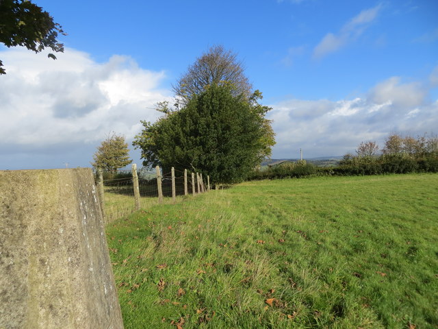
Kilgwrrwg Common is a picturesque area located in Monmouthshire, Wales. Covering an expansive landscape, it is characterized by its rolling downs and expansive moorland. The common spans approximately X square kilometers and is situated at an elevation of X meters above sea level.
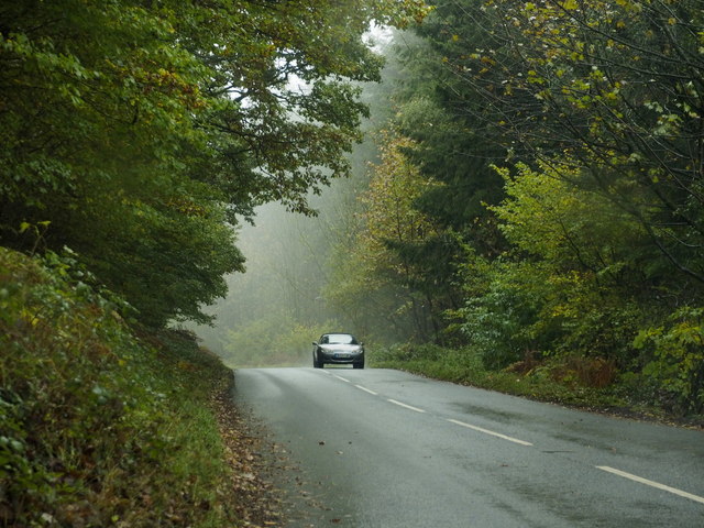
The area is known for its outstanding natural beauty, boasting breathtaking panoramic views of the surrounding countryside. Visitors to Kilgwrrwg Common can enjoy a variety of outdoor activities, including hiking, birdwatching, and photography. The diverse ecosystem supports an array of plant and animal species, making it an ideal destination for nature enthusiasts. Rare species such as the Bilberry Bumblebee and the Skylark can be spotted in this area.
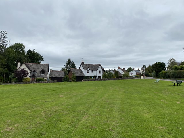
The common has a rich cultural history, with evidence of human activity dating back to prehistoric times. Ancient burial mounds and stone circles are scattered throughout the landscape, providing insight into the lives of early inhabitants. These historical features add to the charm and intrigue of Kilgwrrwg Common.
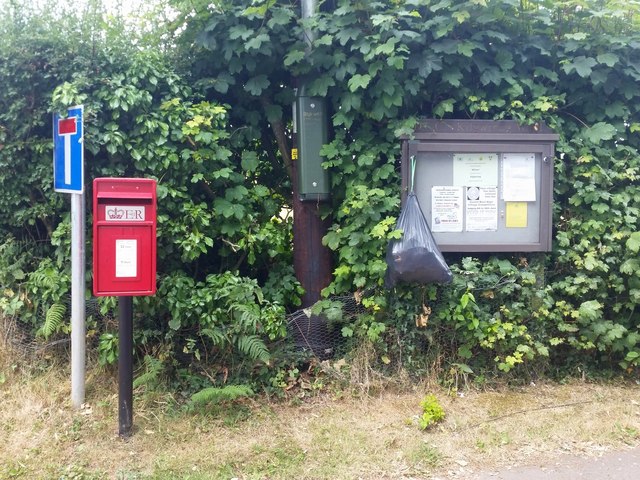
Access to the common is facilitated by a network of well-maintained footpaths, ensuring visitors can explore the area with ease. There are also designated picnic areas where visitors can relax and take in the stunning surroundings. Kilgwrrwg Common offers a peaceful and tranquil escape from the hustle and bustle of everyday life, making it a popular destination for both locals and tourists seeking a connection with nature.
If you have any feedback on the listing, please let us know in the comments section below.
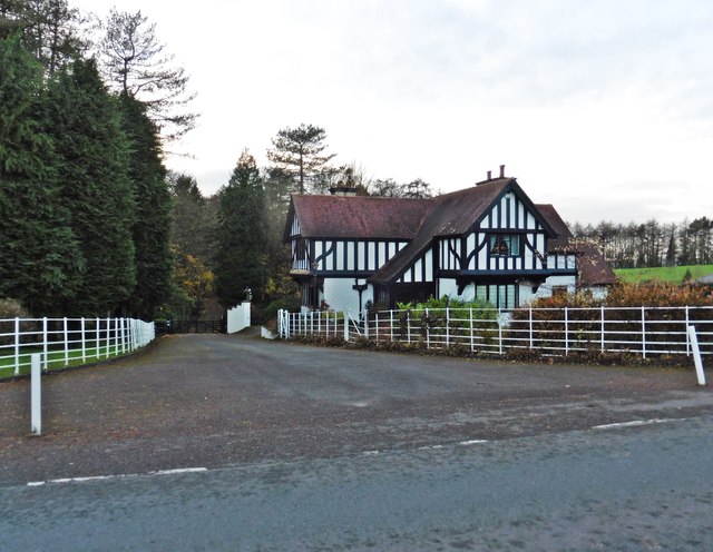
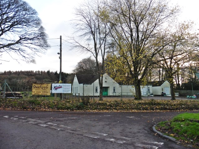
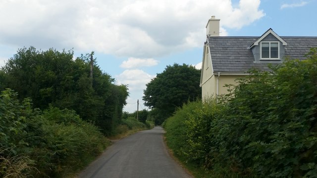
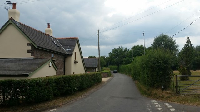
Kilgwrrwg Common Images
Images are sourced within 2km of 51.679078/-2.7667375 or Grid Reference ST4798. Thanks to Geograph Open Source API. All images are credited.


Kilgwrrwg Common is located at Grid Ref: ST4798 (Lat: 51.679078, Lng: -2.7667375)
Unitary Authority: Monmouthshire
Police Authority: Gwent
What 3 Words
///puddings.megawatt.spell. Near Llangwm, Monmouthshire
Nearby Locations
Related Wikis

Kilgwrrwg
Kilgwrrwg (Welsh: Cilgwrrwg) is a rural parish in Monmouthshire, south east Wales, United Kingdom. It is located 7 miles (11 km) north west of Chepstow...

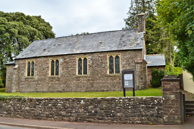
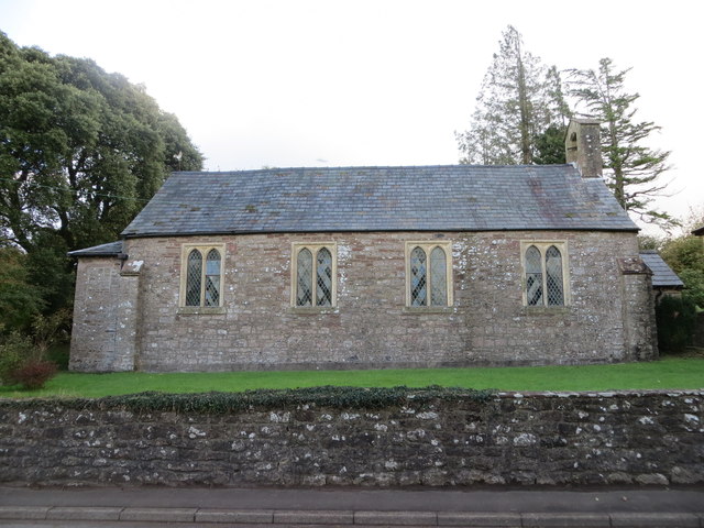
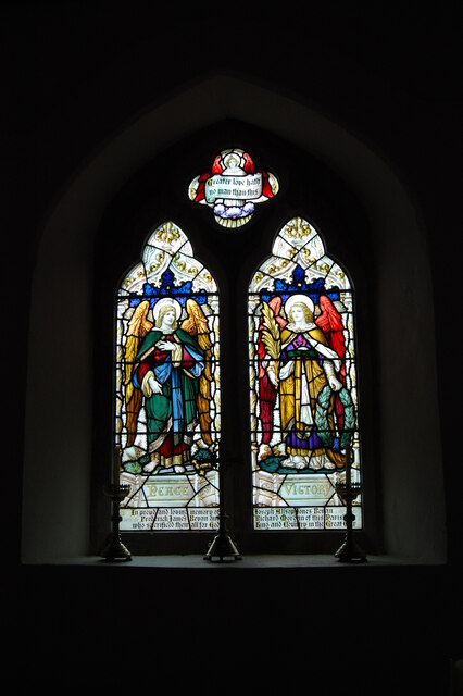
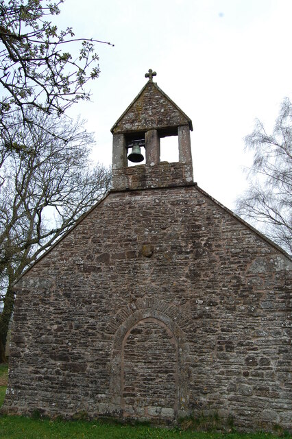
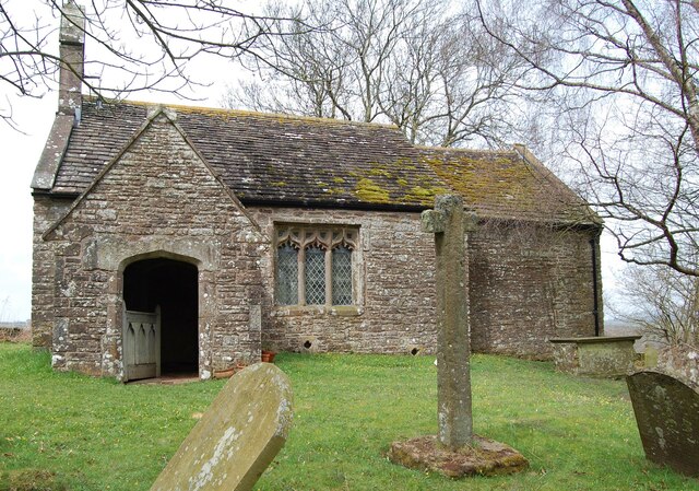
Church of the Holy Cross, Kilgwrrwg
The Church of the Holy Cross, Kilgwrrwg, Monmouthshire, Wales, is an early medieval parish church that once supported a now abandoned village. A Grade...

Tredean House, Devauden
Tredean House, Devauden, Monmouthshire is a country house dating from 1901 to 1902. It was designed in an Arts and Crafts style by the architect Arthur...

Devauden
Devauden (Welsh: Y Dyfawden) is a village and community in Monmouthshire, southeast Wales. It is located between Chepstow and Monmouth near the top of...

Newchurch, Monmouthshire
Newchurch (Welsh: Yr Eglwys Newydd ar y Cefn, meaning "new church on the ridge") is an extensive rural parish and small hamlet in Monmouthshire, south...

Wolvesnewton
Wolvesnewton (Welsh: Llanwynell) is a small village in Monmouthshire, Wales. == Location == Wolvesnewton, sometimes historically Wolves Newton, is in the...
Church of St Thomas à Becket, Wolvesnewton
The Church of Saint Thomas à Becket in Wolvesnewton, Monmouthshire, Wales has its origins in the 13th century. Restored in the 19th century, it remains...

Gaerllwyd
Gaerllwyd is a village in Monmouthshire, south east Wales, United Kingdom. == Location == Gaerllwyd is located 6 miles (9.7 km) south east of Usk and 7...
Nearby Amenities
Located within 500m of 51.679078,-2.7667375Have you been to Kilgwrrwg Common?
Leave your review of Kilgwrrwg Common below (or comments, questions and feedback).