Derwen
Community in Denbighshire
Wales
Derwen

Derwen is a small community located in the county of Denbighshire, Wales. It is situated in the northern part of the country, near the border with England. The community covers an area of approximately 10 square kilometers and has a population of around 600 people.
The landscape of Derwen is characterized by rolling hills, lush green fields, and picturesque countryside. The community is surrounded by natural beauty, with the Clwydian Range and Dee Valley Area of Outstanding Natural Beauty located nearby. This makes Derwen an attractive destination for outdoor enthusiasts, offering opportunities for hiking, cycling, and wildlife spotting.
Despite its small size, Derwen has a strong sense of community and is home to a number of amenities and services. The community has a primary school, providing education for local children, and a village hall that serves as a hub for community events and activities. There is also a pub and a small convenience store, providing essential goods and services for residents.
Derwen is well-connected to the surrounding areas by road, with the A5104 passing through the community. This makes it relatively easy to access the nearby towns of Ruthin and Wrexham, as well as the city of Chester in England. Overall, Derwen offers a peaceful and idyllic setting for those seeking a rural lifestyle in the stunning Welsh countryside.
If you have any feedback on the listing, please let us know in the comments section below.
Derwen Images
Images are sourced within 2km of 53.05277/-3.383299 or Grid Reference SJ0751. Thanks to Geograph Open Source API. All images are credited.


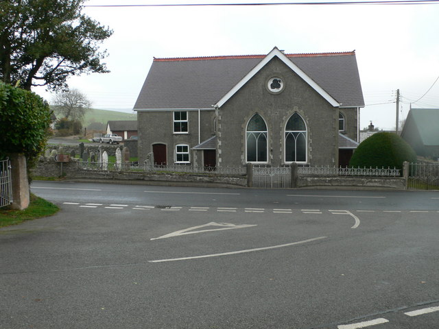
![Derwen church house Dated 1905, and situated beside the historic cross. It served as a schoolroom for a time. See <a href="https://www.geograph.org.uk/photo/2684215">SJ0750 : Derwen church house and cross</a>] for a positional, alongside the old preaching cross.](https://s0.geograph.org.uk/geophotos/02/68/42/2684212_8e7aca44.jpg)


Derwen is located at Grid Ref: SJ0751 (Lat: 53.05277, Lng: -3.383299)
Unitary Authority: Denbighshire
Police Authority: North Wales
What 3 Words
///named.nights.outboard. Near Derwen, Denbighshire
Nearby Locations
Related Wikis

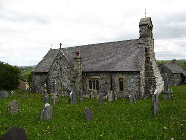
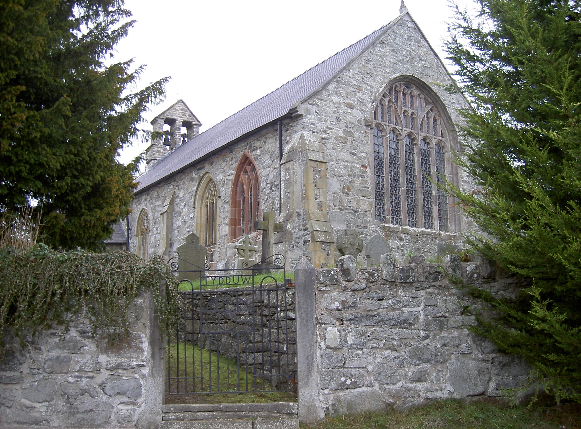
St Mary's Church, Derwen
St Mary's Church, Derwen, is a redundant church in the centre of the village of Derwen, Denbighshire, Wales. It is designated by Cadw as a Grade I listed...
Derwen
Derwen (historically, Derwen-dêg-fawr) is a rural village in the south of Denbighshire, Wales. It lies approximately halfway between Corwen and Ruthin...

Derwen railway station
Derwen railway station was a station in Derwen, Denbighshire, Wales. The station was opened on 6 October 1864 and closed for passengers in 1953 and completely...
Clawddnewydd
Clawddnewydd is a village in the community of Derwen, Denbighshire. The village has a community centre (Canolfan Cae Cymro), a shop (Siop y Fro) and a...
Nearby Amenities
Located within 500m of 53.05277,-3.383299Have you been to Derwen?
Leave your review of Derwen below (or comments, questions and feedback).