Y Bont-ddu
Settlement in Merionethshire
Wales
Y Bont-ddu
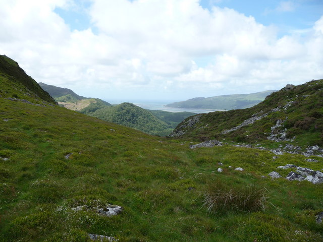
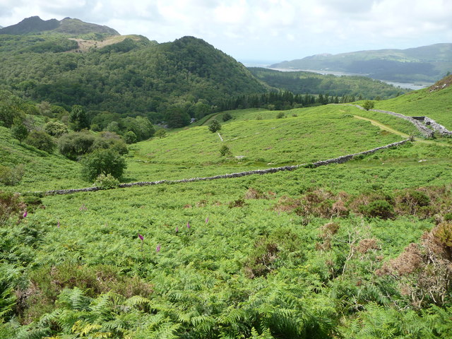
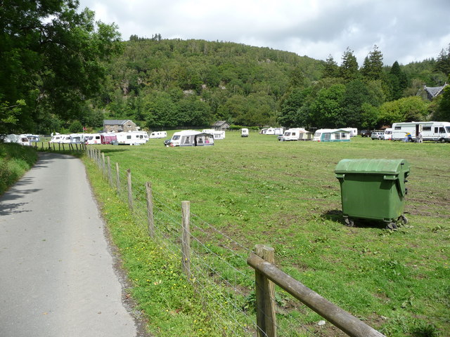
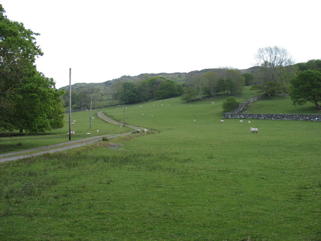
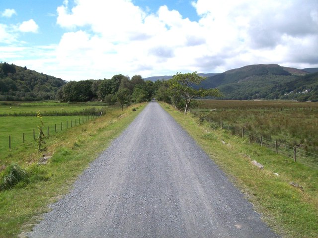
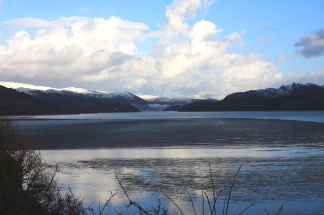
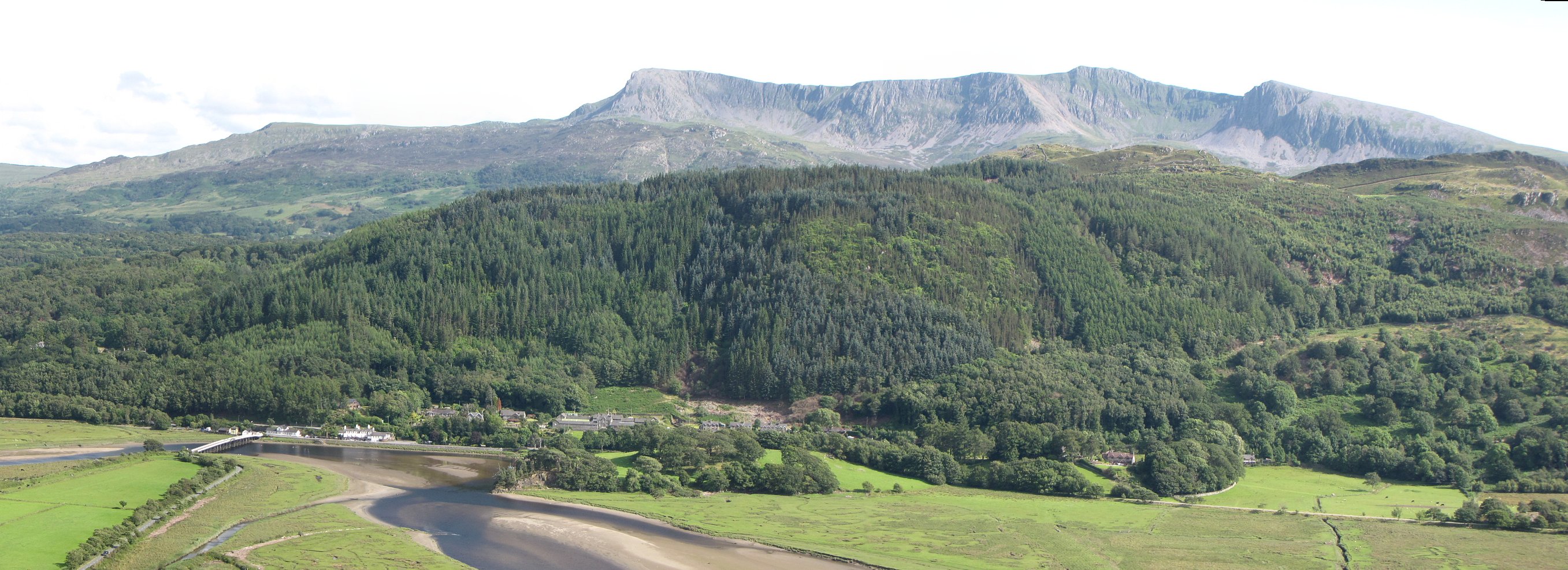
Y Bont-ddu is a small village located in the county of Merionethshire, Wales. It is situated in the southern part of the county, nestled within the breathtaking Snowdonia National Park. The village is surrounded by stunning natural beauty, with rolling hills, lush green valleys, and the banks of the Afon Mawddach river running through its heart.
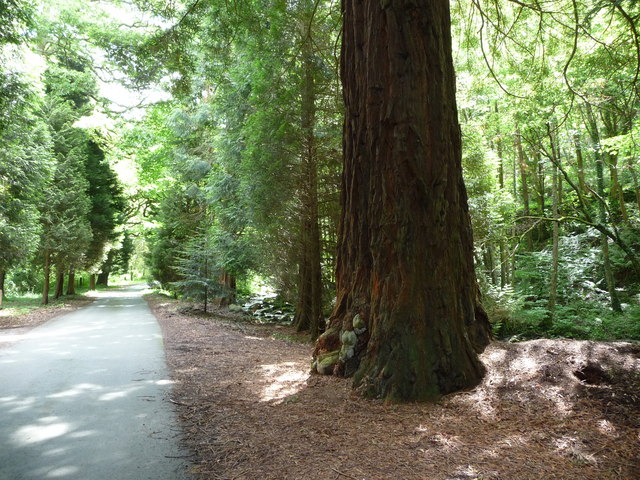
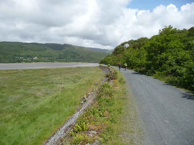
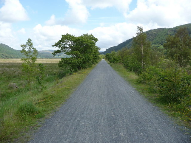
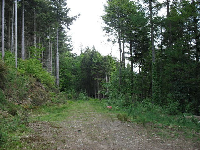
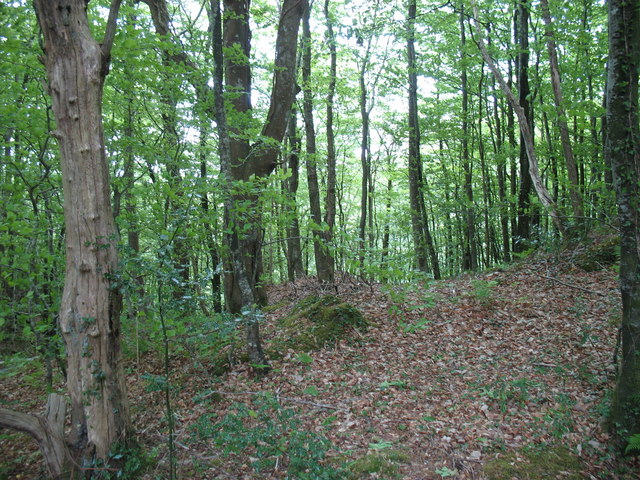
Y Bont-ddu is known for its picturesque setting and tranquility, making it a popular destination for nature lovers and outdoor enthusiasts. The village offers a range of outdoor activities, including hiking, cycling, and fishing. The nearby Cader Idris mountain provides a challenging yet rewarding climb for those seeking adventure.
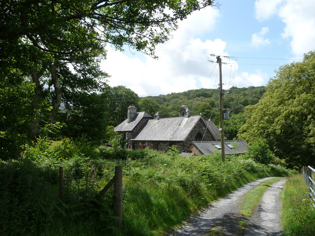
Despite its small size, Y Bont-ddu has a strong sense of community. The village has a handful of amenities, including a local pub and a small shop, catering to the needs of both residents and visitors. The pub serves as a hub for social gatherings, where locals and tourists alike can enjoy a friendly atmosphere and traditional Welsh hospitality.
The area surrounding Y Bont-ddu is steeped in history and culture. The nearby market town of Dolgellau, just a short distance away, offers a glimpse into the region's past with its historic buildings, traditional Welsh slate houses, and bustling market. The town also hosts various cultural events and festivals throughout the year, showcasing the rich heritage of the area.
In summary, Y Bont-ddu is a charming village located in the beautiful Merionethshire countryside. With its natural beauty, outdoor activities, and close-knit community, it provides a peaceful retreat for visitors looking to immerse themselves in the Welsh countryside and experience the warmth of rural Welsh life.
If you have any feedback on the listing, please let us know in the comments section below.
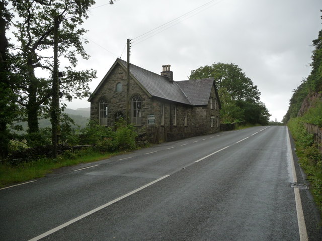
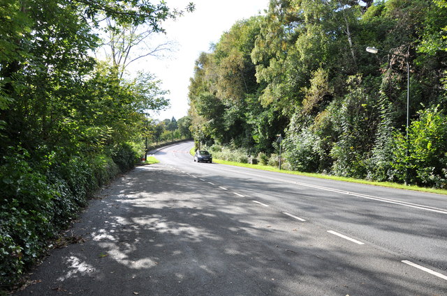
Y Bont-ddu Images
Images are sourced within 2km of 52.743214/-3.9716253 or Grid Reference SH6718. Thanks to Geograph Open Source API. All images are credited.
Y Bont-ddu is located at Grid Ref: SH6718 (Lat: 52.743214, Lng: -3.9716253)
Unitary Authority: Gwynedd
Police Authority: North Wales
Also known as: Bontddu
What 3 Words
///eradicate.rucksack.smokers. Near Dolgellau, Gwynedd
Nearby Locations
Related Wikis

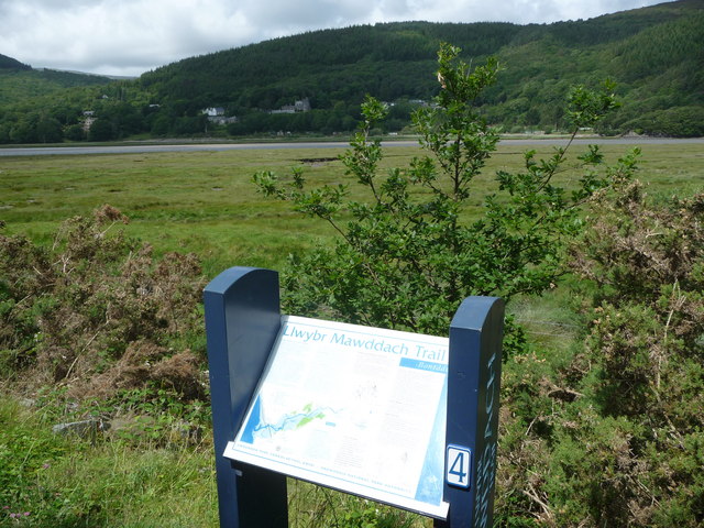
Mawddach Trail
The Mawddach Trail (Welsh: Llwybr Mawddach) is a cycle path route, part of Lôn Las Cymru, which runs for some 8 miles (13 km) from Dolgellau (52.7446°N...

Bontddu
Bontddu (meaning Black bridge) is a small settlement just east of Barmouth, near the town of Dolgellau in Gwynedd, Wales. It is in the community of Llanelltyd...

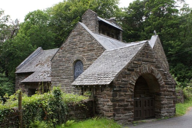
St Philip's Church, Caerdeon
St Philip's Church, Caerdeon, near Barmouth, in Gwynedd, North Wales, is a redundant church and a Grade I listed building. The church was built in 1862...

Tyn-y-Coed Farmhouse
Tyn-y-Coed Farmhouse is a grade II Listed Building in Caerdeon, Barmouth, Gwynedd. This Georgian farm house was built in 1756 and later extended and altered...
Clogau Gold Mine
The Clogau (pronounced "clog-eye") Gold Mine (also known as Clogau St David's) is a gold mine near Bontddu in North Wales. == History == The Clogau mine...
Borthwnog
Borthwnog is a family name given to the Borthwnog estate in Gwynedd, north-west Wales. Borthwnog Hall was the Manor House of the estate which encompassed...
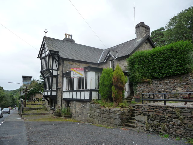
Penmaenpool
Penmaenpool (Welsh: Llynpenmaen) is a hamlet on the south side of the estuary of the River Mawddach in Wales, near Dolgellau. A Grade II listed toll bridge...

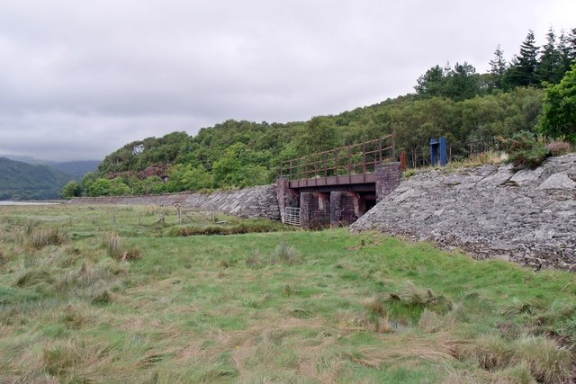
Penmaenpool railway station
Penmaenpool railway station at Penmaenpool in Gwynedd, North Wales, was formerly a station on the Dolgelly [sic] branch of the Aberystwith and Welsh Coast...
Nearby Amenities
Located within 500m of 52.743214,-3.9716253Have you been to Y Bont-ddu?
Leave your review of Y Bont-ddu below (or comments, questions and feedback).