Bont-ddu, Y
Settlement in Merionethshire
Wales
Bont-ddu, Y
The requested URL returned error: 429 Too Many Requests
If you have any feedback on the listing, please let us know in the comments section below.
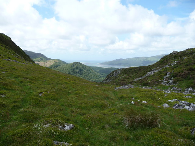
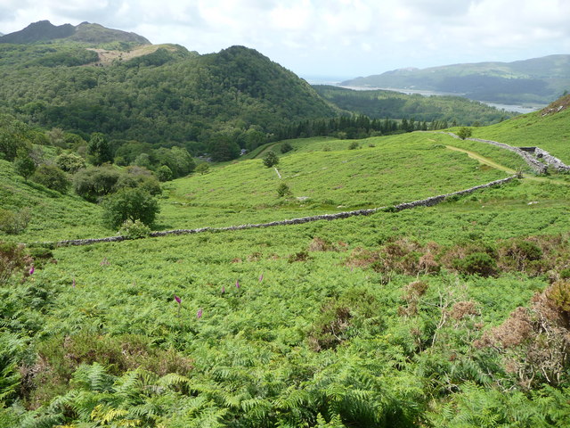
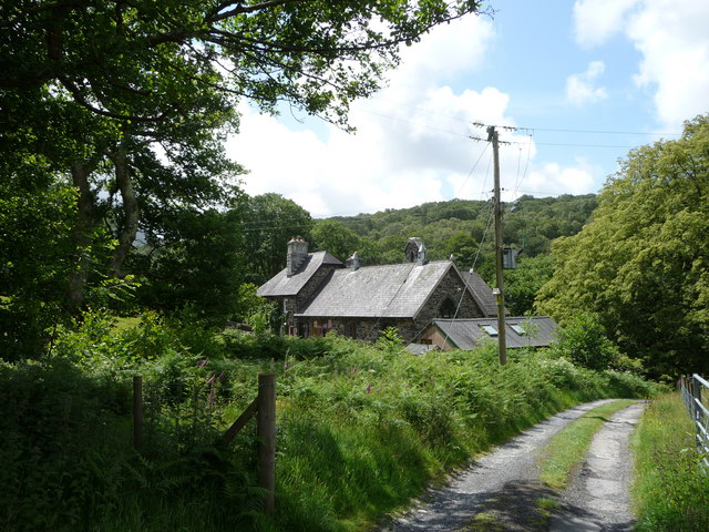
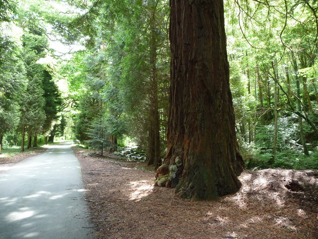
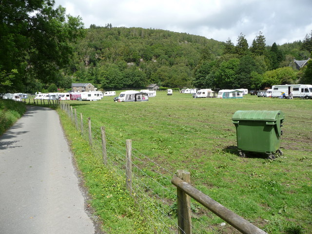
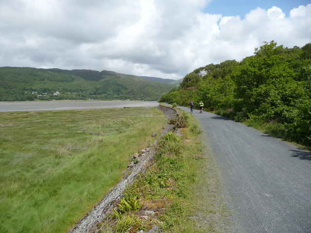
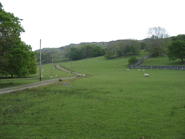
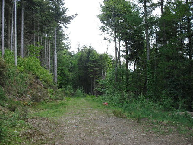
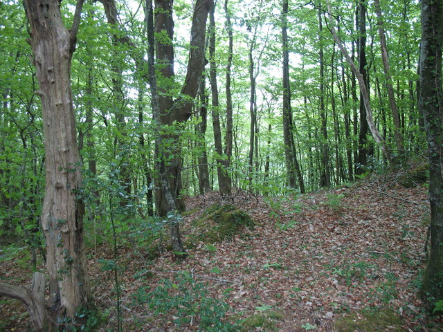
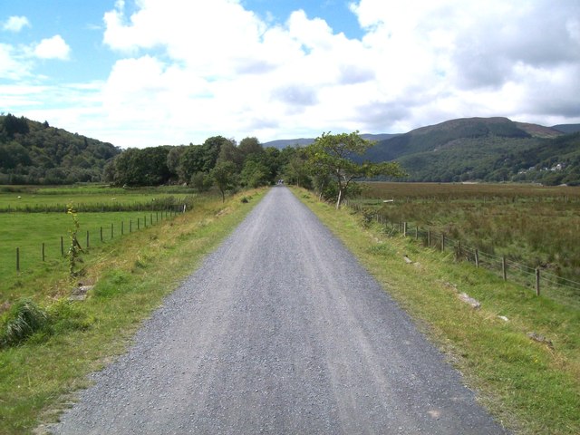
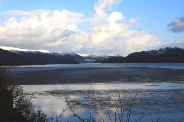
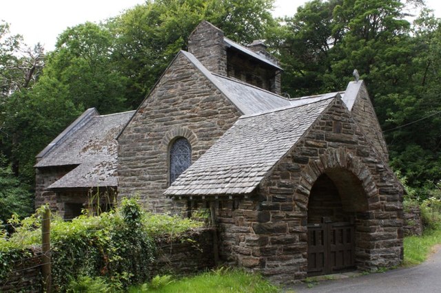
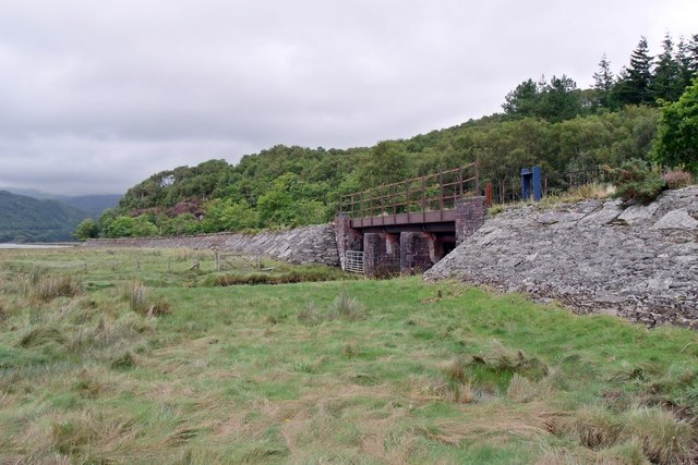
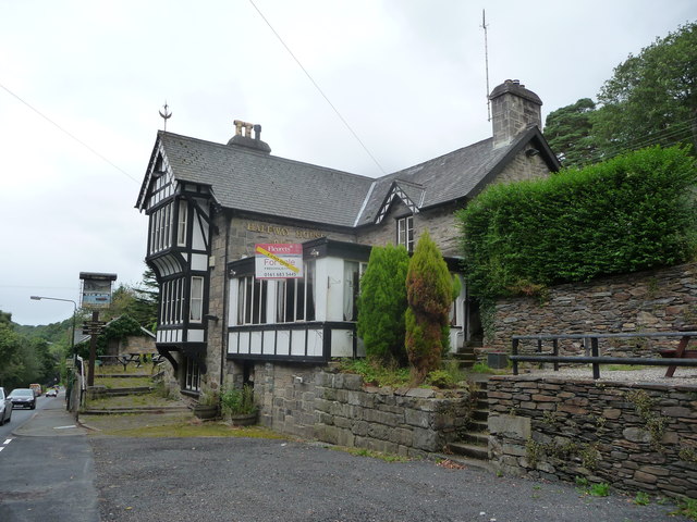
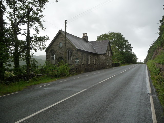
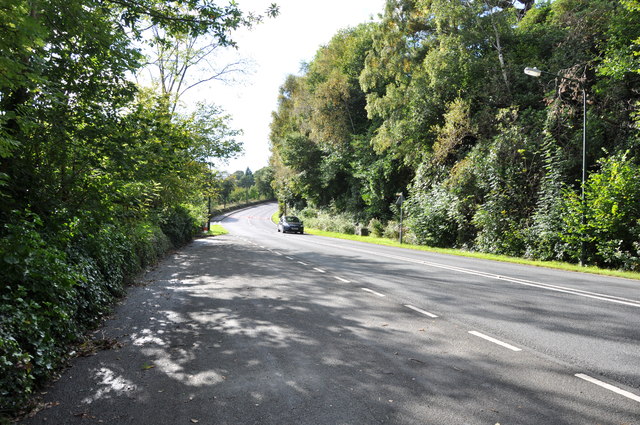
Bont-ddu, Y Images
Images are sourced within 2km of 52.743214/-3.9716253 or Grid Reference SH6718. Thanks to Geograph Open Source API. All images are credited.
Bont-ddu, Y is located at Grid Ref: SH6718 (Lat: 52.743214, Lng: -3.9716253)
Unitary Authority: Gwynedd
Police Authority: North Wales
Also known as: Bont-ddu
What 3 Words
///eradicate.rucksack.smokers. Near Dolgellau, Gwynedd
Nearby Locations
Related Wikis

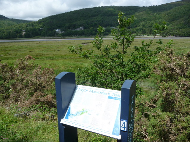
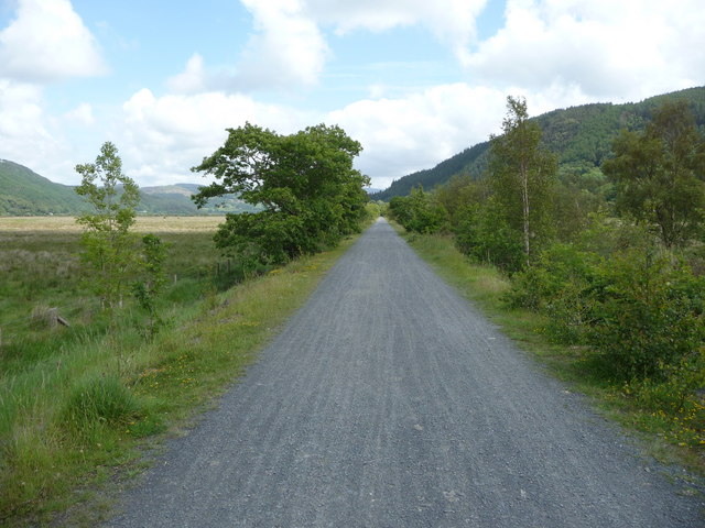
Mawddach Trail
The Mawddach Trail (Welsh: Llwybr Mawddach) is a cycle path route, part of Lôn Las Cymru, which runs for some 8 miles (13 km) from Dolgellau (52.7446°N...

Bontddu
Bontddu (meaning Black bridge) is a small settlement just east of Barmouth, near the town of Dolgellau in Gwynedd, Wales. It is in the community of Llanelltyd...

St Philip's Church, Caerdeon
St Philip's Church, Caerdeon, near Barmouth, in Gwynedd, North Wales, is a redundant church and a Grade I listed building. The church was built in 1862...

Tyn-y-Coed Farmhouse
Tyn-y-Coed Farmhouse is a grade II Listed Building in Caerdeon, Barmouth, Gwynedd. This Georgian farm house was built in 1756 and later extended and altered...
Nearby Amenities
Located within 500m of 52.743214,-3.9716253Have you been to Bont-ddu, Y?
Leave your review of Bont-ddu, Y below (or comments, questions and feedback).