Bont-faen, Y
Settlement in Glamorgan
Wales
Bont-faen, Y
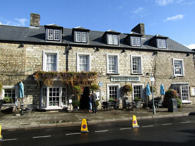
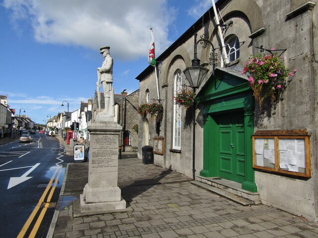
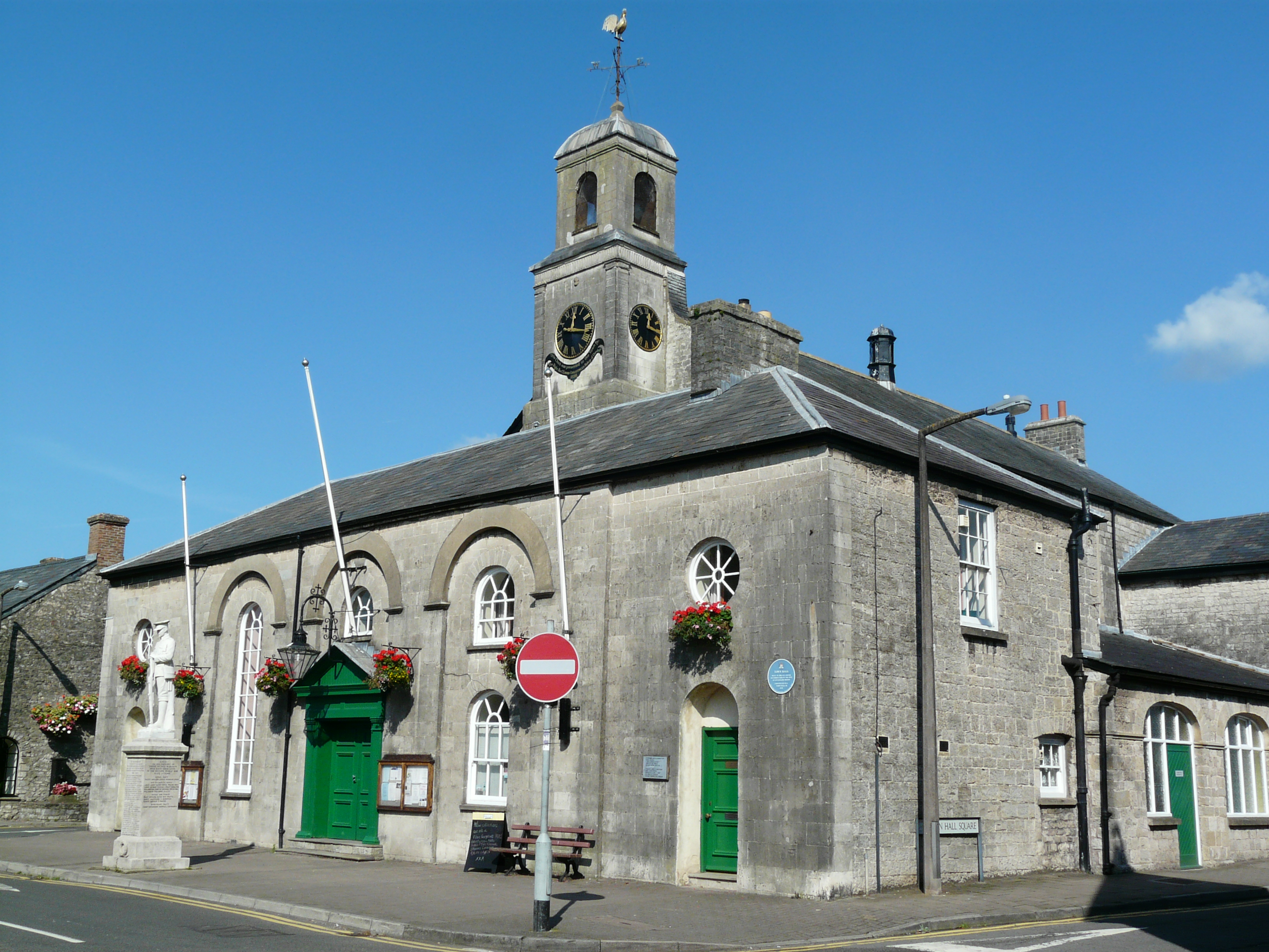
Bont-faen, or Cowbridge as it is commonly known, is a small town located in the Vale of Glamorgan, Wales. Situated approximately 12 miles west of Cardiff, it has a population of around 3,900 residents. The town is known for its rich history, scenic beauty, and vibrant community.
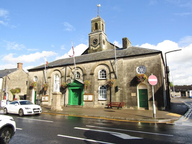
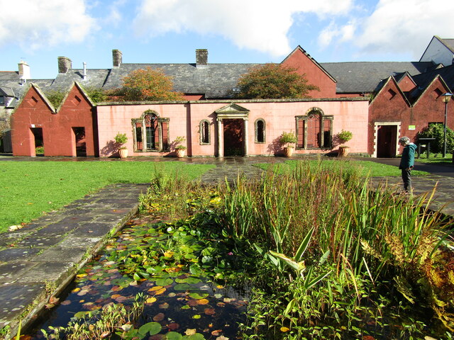
Bont-faen is renowned for its historic architecture, with many buildings dating back to the medieval period. The iconic Cowbridge Physic Garden, established in the 18th century, is a major attraction, offering visitors a unique opportunity to explore a collection of medicinal plants and herbs.
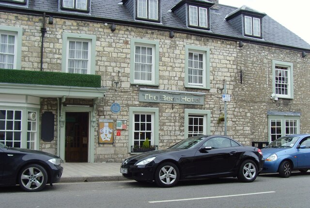
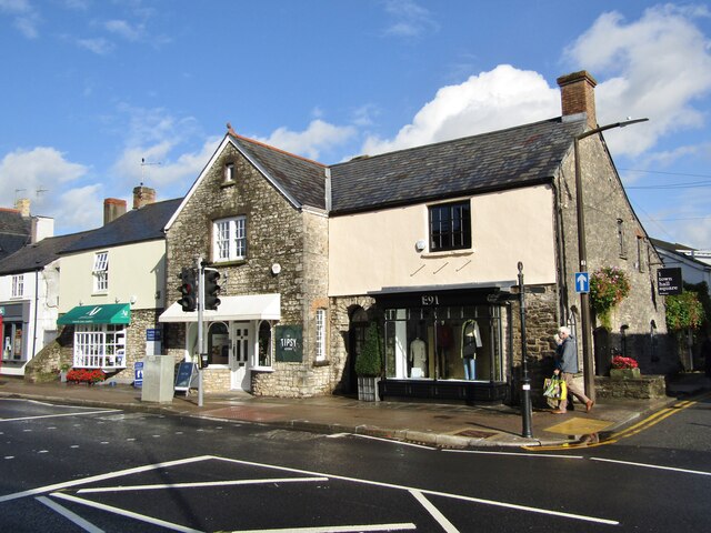
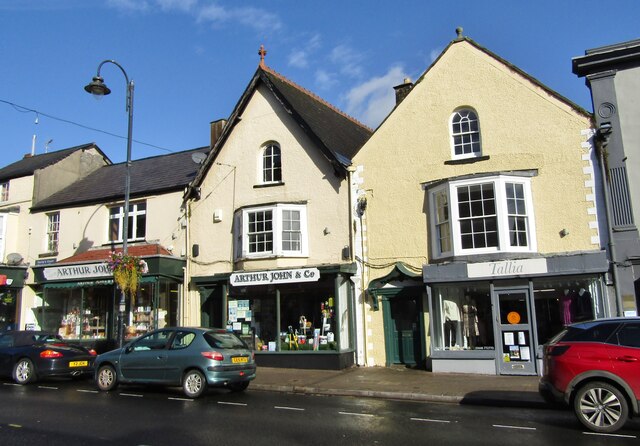
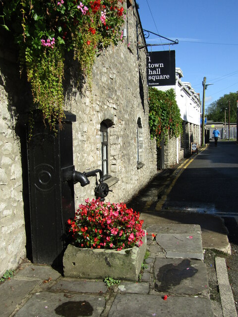
The town's bustling high street is lined with an array of independent shops, boutiques, and traditional Welsh pubs, offering a delightful shopping and dining experience. The vibrant market, held every Tuesday and Saturday, attracts both locals and tourists alike, offering a wide range of fresh produce, crafts, and antiques.
Surrounded by picturesque countryside, Bont-faen is a haven for nature lovers and outdoor enthusiasts. The nearby Vale of Glamorgan Heritage Coastline, with its stunning cliffs and sandy beaches, provides ample opportunities for scenic walks, cycling, and water sports.
Bont-faen also boasts a strong sense of community spirit, with various events and festivals taking place throughout the year. The Cowbridge Food and Drink Festival, held annually, showcases the best of local produce, while the Cowbridge Music Festival attracts renowned artists and musicians from around the world.
In conclusion, Bont-faen is a charming town that seamlessly blends its rich history with a vibrant present. Its historic architecture, thriving high street, beautiful surroundings, and lively community make it a must-visit destination in the Vale of Glamorgan.
If you have any feedback on the listing, please let us know in the comments section below.
Bont-faen, Y Images
Images are sourced within 2km of 51.455939/-3.4550457 or Grid Reference SS9974. Thanks to Geograph Open Source API. All images are credited.


Bont-faen, Y is located at Grid Ref: SS9974 (Lat: 51.455939, Lng: -3.4550457)
Unitary Authority: The Vale of Glamorgan
Police Authority: South Wales
Also known as: Y Cowbridge
What 3 Words
///campsites.finally.competent. Near Cowbridge, Vale of Glamorgan
Related Wikis
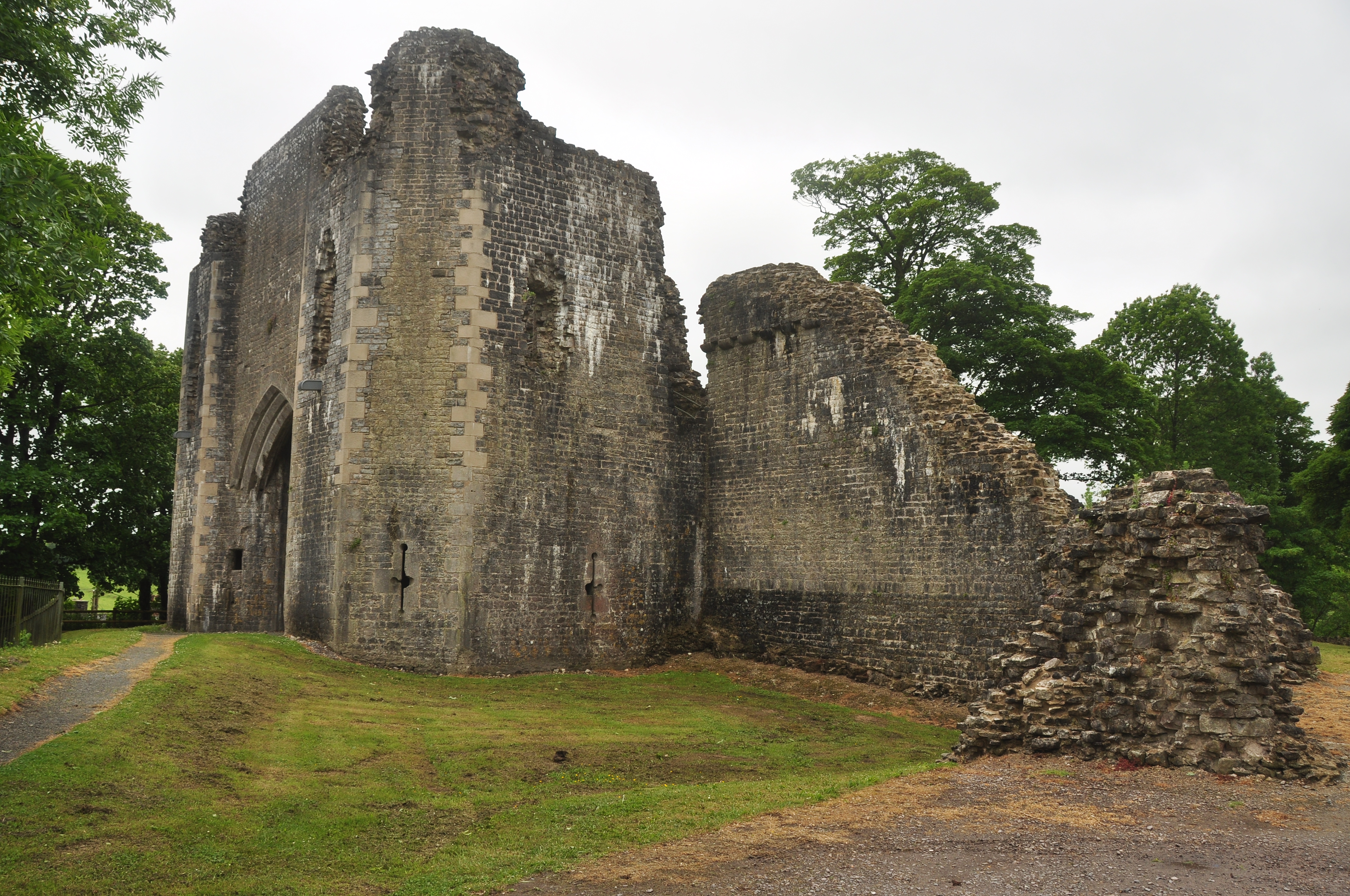
St Quintins Castle
St Quintins Castle (also known as St Quentins Castle and Llanblethian Castle, Welsh: Castell Llanfleiddan) is a castle located in the village of Llanblethian...
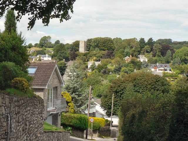
Llanblethian
Llanblethian (Welsh: Llanfleiddian) is a village in the Vale of Glamorgan in Wales which sits upon the River Thaw. It makes up part of the community of...
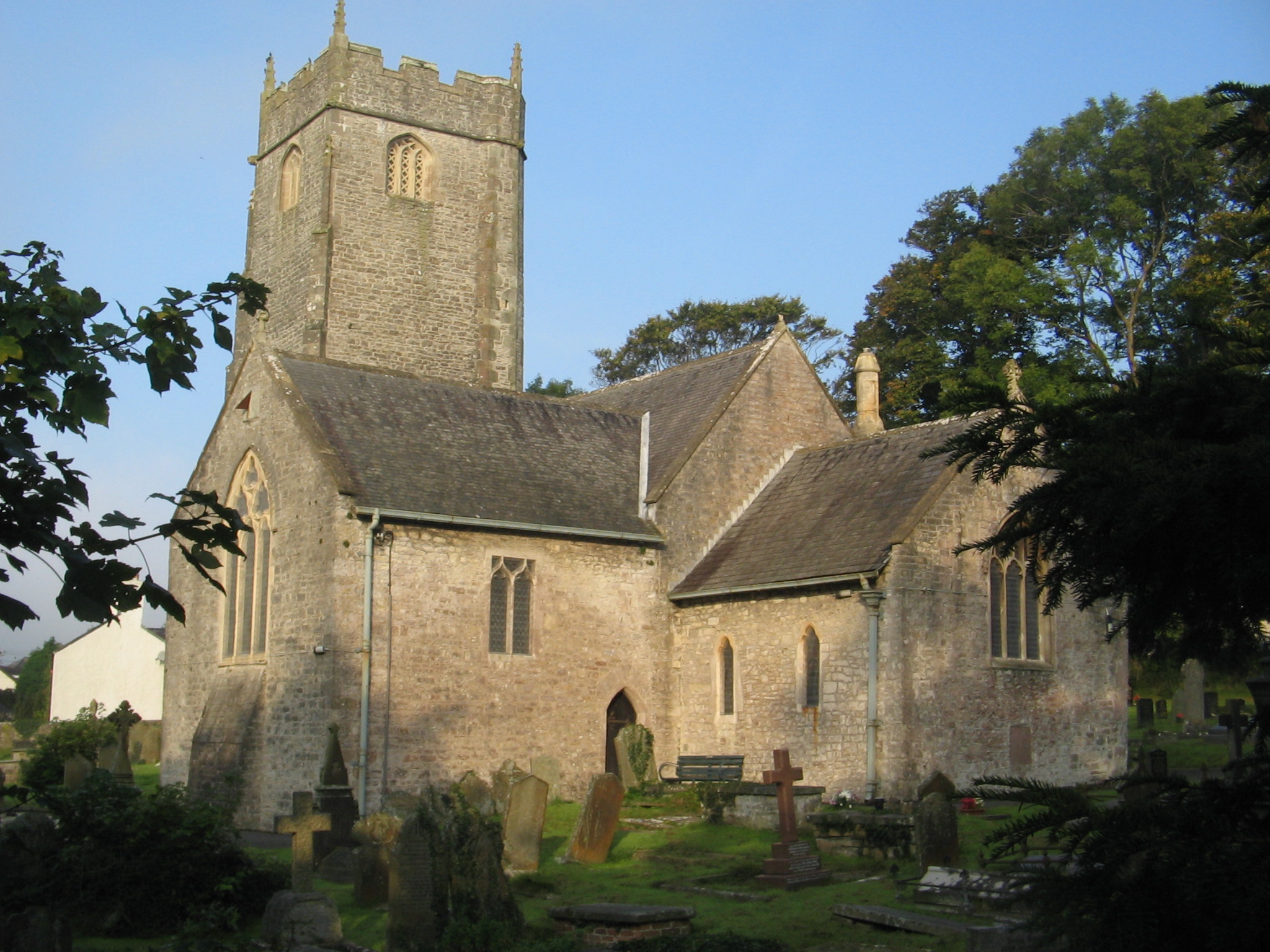
Church of St John the Baptist, Llanblethian
The Church of St John the Baptist is a medieval church in Llanblethian in the Vale of Glamorgan, south Wales. Believed to have been built in the 12th century...
Cowbridge with Llanblethian
Cowbridge with Llanblethian is a community (civil parish) in the Vale of Glamorgan, Wales, which incorporates Llanblethian and the town of Cowbridge. It...
Nearby Amenities
Located within 500m of 51.455939,-3.4550457Have you been to Bont-faen, Y?
Leave your review of Bont-faen, Y below (or comments, questions and feedback).