Cowbridge
Settlement in Glamorgan
Wales
Cowbridge
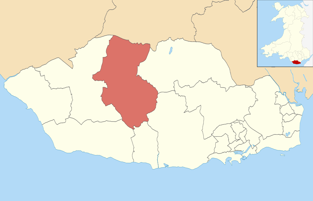
Cowbridge is a small market town located in the Vale of Glamorgan, Wales. Situated approximately 12 miles west of Cardiff, it is a historic settlement with a population of around 4,500 people. The town is known for its charming and picturesque setting, attracting tourists and visitors from neighboring areas.
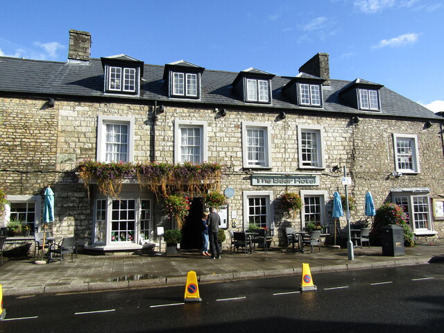
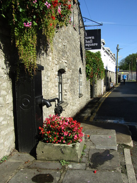
Cowbridge dates back to Roman times, and its name derives from the Old English words "cow" and "bridge," referring to the town's medieval bridge over the River Thaw. The town's rich history is evident in its well-preserved architecture, with many buildings dating back to the 14th century.
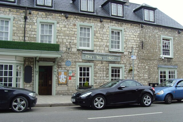
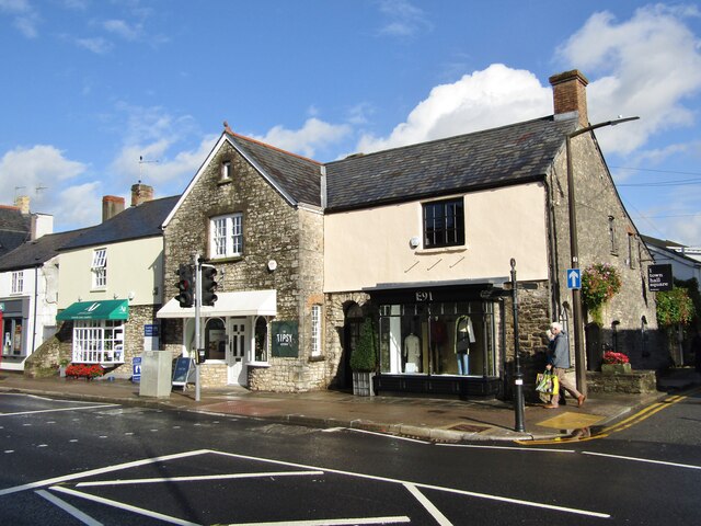
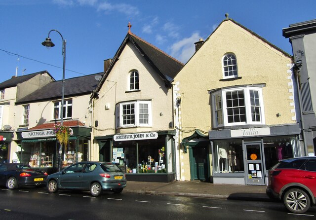
The town center is characterized by narrow streets lined with traditional buildings, housing a variety of independent shops, boutiques, cafes, and restaurants. It is a popular shopping destination, offering a unique and vibrant retail experience. Cowbridge also hosts a weekly market, where local producers sell fresh produce and crafts.
In addition to its historical significance and commercial appeal, Cowbridge is surrounded by beautiful countryside, making it an ideal base for exploring the Vale of Glamorgan. The nearby coastline offers stunning views, with beaches and coastal walks within easy reach. The town is also home to several parks and green spaces, providing opportunities for outdoor activities and relaxation.
Cowbridge has a strong sense of community, with a range of local events and festivals taking place throughout the year. The town's annual agricultural show is a highlight, attracting visitors from far and wide. Overall, Cowbridge offers a delightful mix of history, natural beauty, and community spirit, making it a charming place to visit or call home.
If you have any feedback on the listing, please let us know in the comments section below.
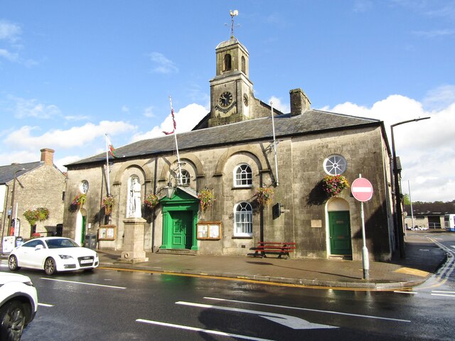
Cowbridge Images
Images are sourced within 2km of 51.461659/-3.447008 or Grid Reference SS9974. Thanks to Geograph Open Source API. All images are credited.


Cowbridge is located at Grid Ref: SS9974 (Lat: 51.461659, Lng: -3.447008)
Unitary Authority: The Vale of Glamorgan
Police Authority: South Wales
Also known as: Y Bont-faen
What 3 Words
///grapes.atom.stilted. Near Cowbridge, Vale of Glamorgan
Related Wikis
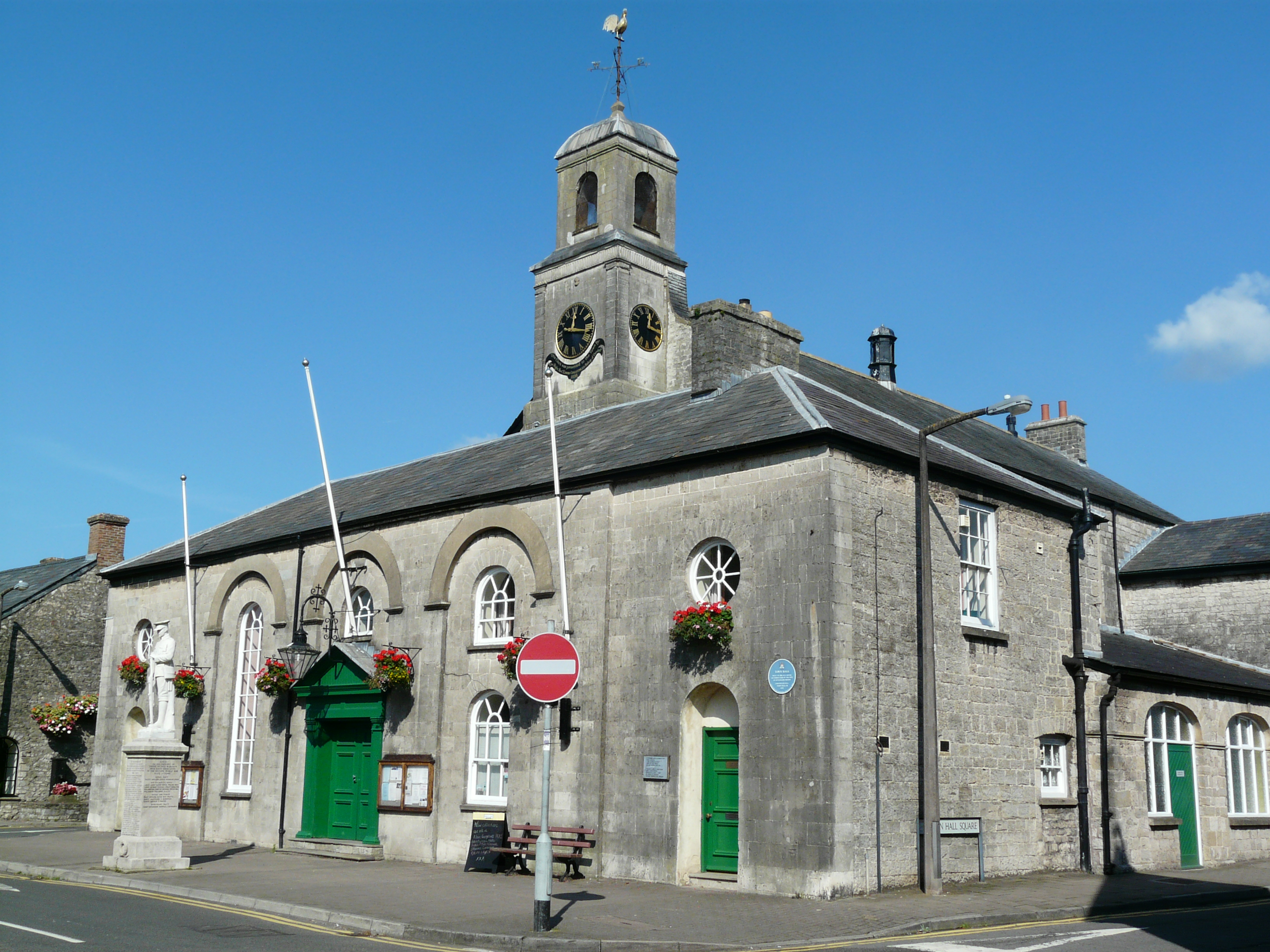
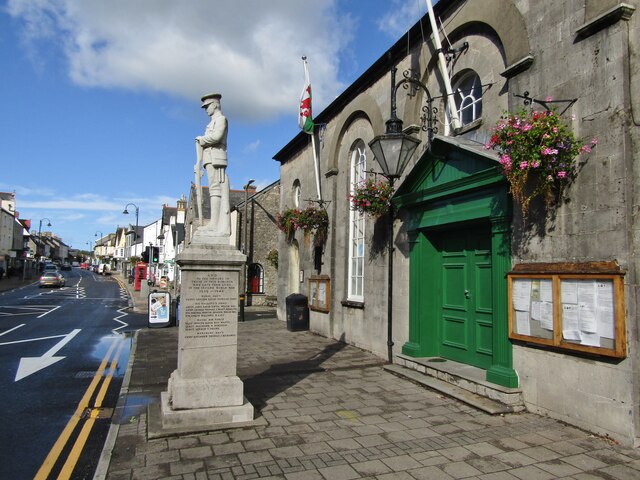
Cowbridge Town Hall
Cowbridge Town Hall (Welsh: Neuadd y Dref Y Bont-faen) is a public building in the High Street of Cowbridge in South Wales. The town hall, which is the...
Cowbridge (Roman town)
Cowbridge was a small castra in Roman Wales within the Roman province of Britannia Superior. Today the contemporary settlement, Cowbridge, has a population...

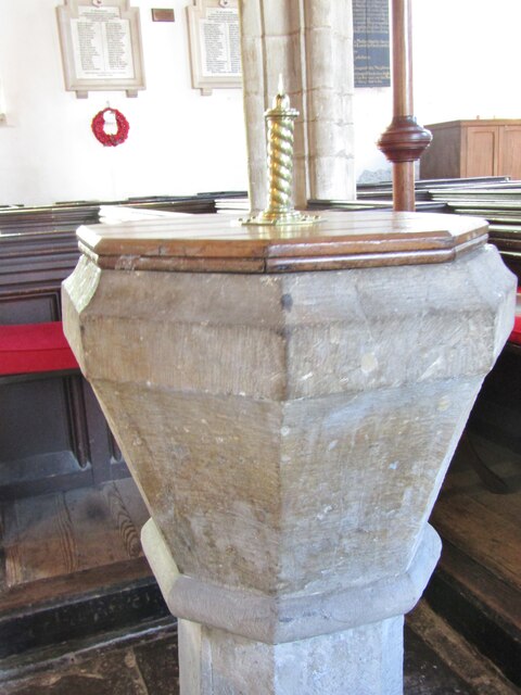
Church of the Holy Cross, Cowbridge
The Church of the Holy Cross is a medieval church in Cowbridge in the Vale of Glamorgan, south Wales. Initially a chapel of ease to Church of St John the...

Cowbridge
Cowbridge (Welsh: Y Bont-faen) is a market town in the Vale of Glamorgan, Wales, approximately 12 miles (19 km) west of the centre of Cardiff. The Cowbridge...
Nearby Amenities
Located within 500m of 51.461659,-3.447008Have you been to Cowbridge?
Leave your review of Cowbridge below (or comments, questions and feedback).