Cowbridge

Settlement in Somerset Somerset West and Taunton

England

Cowbridge

Ordnance Survey Cut Mark This OS cut mark can be found on the wall of Huntsham. It marks a point 72.713m above mean sea level.
Ordnance Survey Cut Mark Credit: Adrian Dust

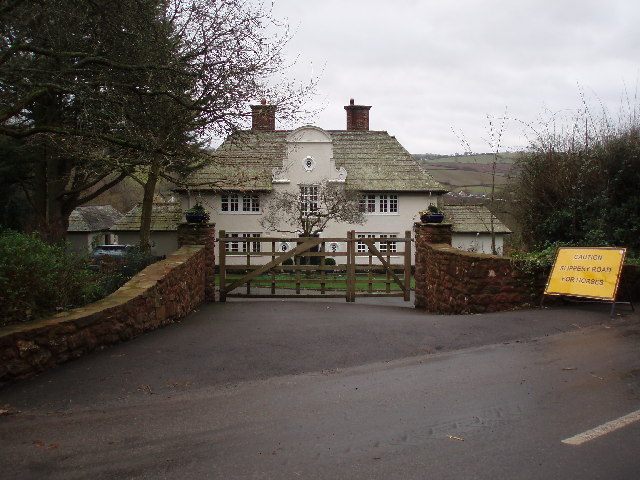
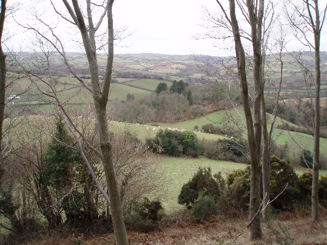
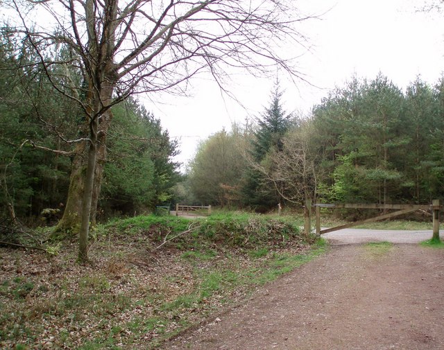
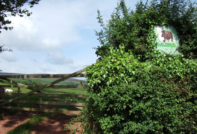
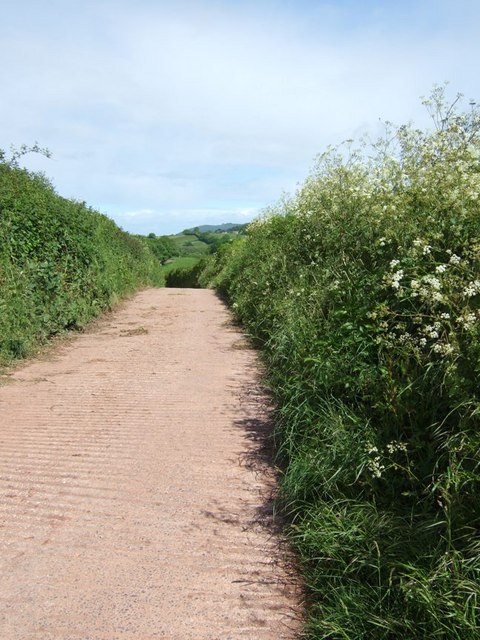
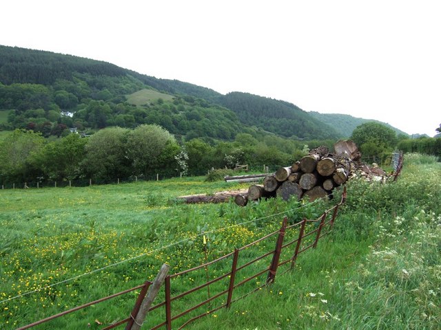
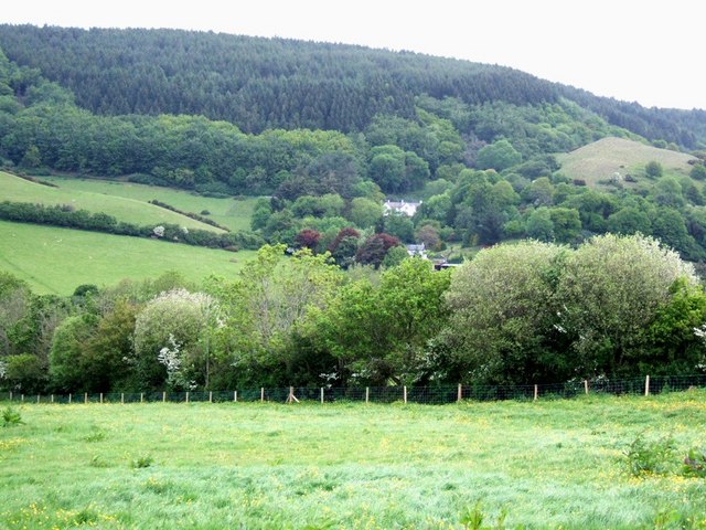
Cowbridge is a small village located in the county of Somerset, England. Situated in the picturesque countryside, it is known for its natural beauty and tranquil atmosphere. The village lies approximately 9 miles north of the county town of Taunton and is surrounded by rolling hills and green fields.

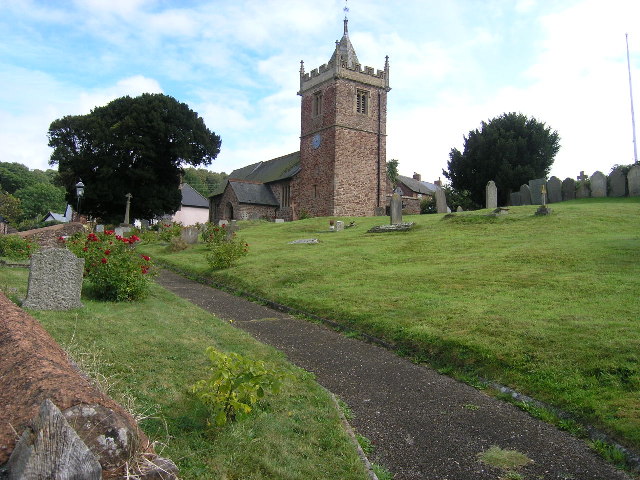
The history of Cowbridge dates back to the medieval times, with evidence of human settlement in the area since the Roman era. The village is home to a number of historic buildings, including St. Peter's Church, a Grade II listed building that dates back to the 13th century. The church is a notable example of Gothic architecture and attracts visitors interested in its historical significance.

Despite its small size, Cowbridge offers a range of amenities to its residents and visitors. The village has a primary school, a post office, a local pub, and several shops that cater to everyday needs. It also benefits from being in close proximity to larger towns and cities, such as Taunton, which provides additional services and employment opportunities.

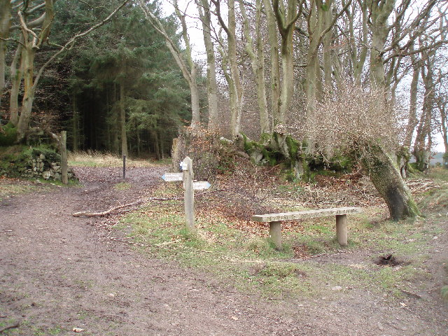
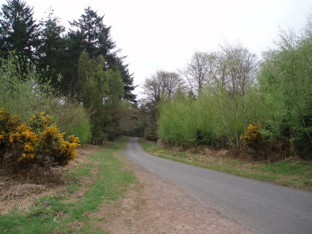
The surrounding countryside offers ample opportunities for outdoor activities and exploration. Walking and hiking trails are abundant, allowing visitors to enjoy the scenic beauty of the area. The nearby Quantock Hills, an Area of Outstanding Natural Beauty, provides stunning views and diverse wildlife.

Overall, Cowbridge is a charming village in Somerset that offers a peaceful lifestyle and a close-knit community. With its rich history and natural surroundings, it is an attractive destination for those seeking a rural retreat.

If you have any feedback on the listing, please let us know in the comments section below.
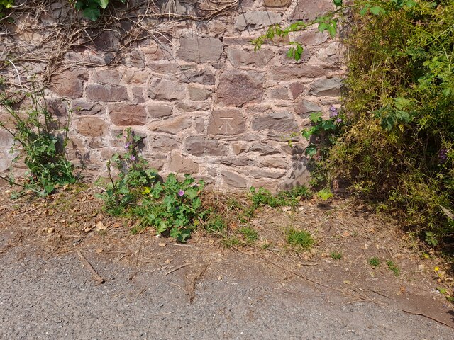
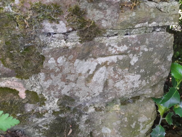
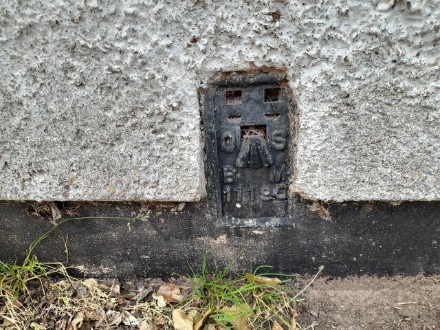
Cowbridge Images

Images are sourced within 2km of 51.172611/-3.491933 or Grid Reference SS9542. Thanks to Geograph Open Source API. All images are credited.

Ordnance Survey Cut Mark This OS cut mark can be found on the wall of Huntsham. It marks a point 72.713m above mean sea level.
Ordnance Survey Cut Mark
This OS cut mark can be found on the wall of Huntsham. It marks a point 72.713m above mean sea level.
Ordnance Survey Cut Mark This OS cut mark can be found on the east parapet of Cow Bridge. It marks a point 62.410m above mean sea level.
Ordnance Survey Cut Mark
This OS cut mark can be found on the east parapet of Cow Bridge. It marks a point 62.410m above mean sea level.
Ordnance Survey Flush Bracket (11195) This OS Flush Bracket can be found on the NE angle of the school house. It marks a point 77.073m above mean sea level.
Ordnance Survey Flush Bracket (11195)
This OS Flush Bracket can be found on the NE angle of the school house. It marks a point 77.073m above mean sea level.
Ordnance Survey Cut Mark This OS cut mark can be found on the SW angle of St Petrock's Church. It marks a point 81.800m above mean sea level.
Ordnance Survey Cut Mark
This OS cut mark can be found on the SW angle of St Petrock's Church. It marks a point 81.800m above mean sea level.
Timberscombe, Somerset The church of St Petrock
Timberscombe, Somerset
The church of St Petrock
House at Cowbridge Cross. This very smart house is quietly situated on the lane to Wootton Courtenay. The sign bears testimony to the fact that a large proportion of the passing traffic has four legs.
House at Cowbridge Cross.
This very smart house is quietly situated on the lane to Wootton Courtenay. The sign bears testimony to the fact that a large proportion of the passing traffic has four legs.
Woodland Bridleway near Wootton Courtenay This photograph looks south towards Exmoor, the bridleway goes to Ranscombe Farm.
Woodland Bridleway near Wootton Courtenay
This photograph looks south towards Exmoor, the bridleway goes to Ranscombe Farm.
Trig Point above Wootton Courtenay. Coloured white to make it easy to spot amongst the trees, this trig point is at a height of 295m. Behind the photographer is a clear view towards the Bristol Channel.
Trig Point above Wootton Courtenay.
Coloured white to make it easy to spot amongst the trees, this trig point is at a height of 295m. Behind the photographer is a clear view towards the Bristol Channel.
Hole's Corner The signpost reads left to Croydon Hill and right to Selworthy. There is an inscription on the front of the seat which reads, "In memory of Gary Draper from his friends."
Hole's Corner
The signpost reads left to Croydon Hill and right to Selworthy. There is an inscription on the front of the seat which reads, "In memory of Gary Draper from his friends."
West Somerset Farmland. The tracks through the woods here mostly run along the contours allowing plenty of opportunity to appreciate the views.
West Somerset Farmland.
The tracks through the woods here mostly run along the contours allowing plenty of opportunity to appreciate the views.
Woodland Road. The light green trees edging the road are birches which have just come into leaf. Photograph taken looking down the road towards Dunster.
Woodland Road.
The light green trees edging the road are birches which have just come into leaf. Photograph taken looking down the road towards Dunster.
Bridleway to Timberscombe. The gates on either side of this road mark the long distance bridleway which almost reaches the summit of Croydon Hill (365m.) and finishes in Timberscombe.
Bridleway to Timberscombe.
The gates on either side of this road mark the long distance bridleway which almost reaches the summit of Croydon Hill (365m.) and finishes in Timberscombe.
Fields near Well Farm Lush grass in the fields near Well Farm near Burrow. The village that can be seen directly ahead in the valley is Timberscombe, the largest settlement for some miles in this very rural area.
Fields near Well Farm
Lush grass in the fields near Well Farm near Burrow. The village that can be seen directly ahead in the valley is Timberscombe, the largest settlement for some miles in this very rural area.
Cow in the hedge O.k. it's not a live cow. This sign showing a Herefordshire cow (or bull) is for Well Farm which is up a lane to the right of this image. The bright white horse that can be seen grazing through the gate looks a little like a chalk downs version.
Cow in the hedge
O.k. it's not a live cow. This sign showing a Herefordshire cow (or bull) is for Well Farm which is up a lane to the right of this image. The bright white horse that can be seen grazing through the gate looks a little like a chalk downs version.
Lane to Well Farm The lane to Well Farm is concrete rather than tarmac. Cow parsely dots the verges and the Exmoor hills can be seen in the background.
Lane to Well Farm
The lane to Well Farm is concrete rather than tarmac. Cow parsely dots the verges and the Exmoor hills can be seen in the background.
Opposite Totterdown Farm Stacked logs in a field opposite Totterdown Farm near Timberscombe. The white building in the hills is "Burnells" I think.
Opposite Totterdown Farm
Stacked logs in a field opposite Totterdown Farm near Timberscombe. The white building in the hills is "Burnells" I think.
Looking towards Knowle Hill A meadow full of buttercups bordered by a multi-species hedge and beyond that the heavily wooded hills behind which lie Minehead and the sea. This view is from opposite Totterdown Farm looking towards Knowle Hill. The white building is, I believe, Burnells.
Looking towards Knowle Hill
A meadow full of buttercups bordered by a multi-species hedge and beyond that the heavily wooded hills behind which lie Minehead and the sea. This view is from opposite Totterdown Farm looking towards Knowle Hill. The white building is, I believe, Burnells.
Entrance to Totterdown Farm This gate is the entrance to Totterdown Farm and the little wooden sign shows that it is also the route of a bridleway.
Entrance to Totterdown Farm
This gate is the entrance to Totterdown Farm and the little wooden sign shows that it is also the route of a bridleway.
Show me another place!

Cowbridge is located at Grid Ref: SS9542 (Lat: 51.172611, Lng: -3.491933)

Administrative County: Somerset

District: Somerset West and Taunton

Police Authority: Avon and Somerset

What 3 Words

///stuck.kilts.sapping. Near Minehead, Somerset

Related Wikis

Dunster Park and Heathlands

Dunster Park and Heathlands (grid reference SS955441) is a 466.6 hectare biological Site of Special Scientific Interest in Somerset, notified in 2000....

Wootton Courtenay

Wootton Courtenay is a village and civil parish on Exmoor in the Somerset West and Taunton district of Somerset, England. The parish includes the hamlets...

Long Wood Enclosure

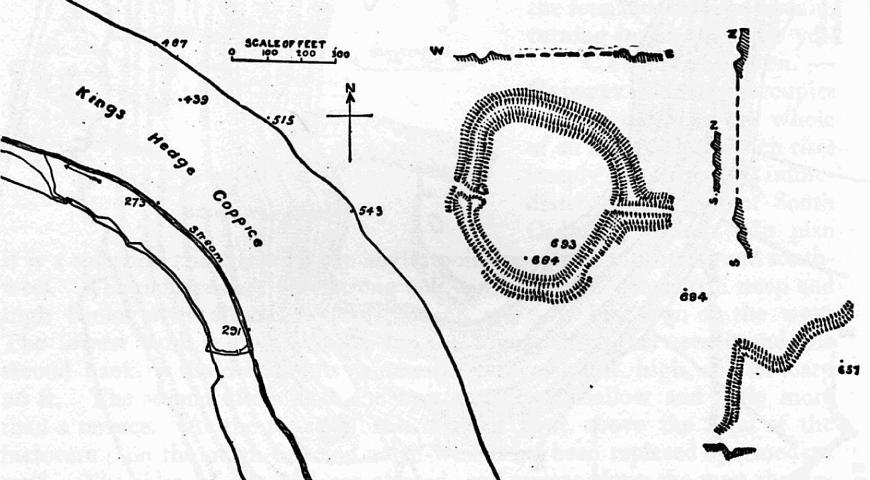
Long Wood Enclosure is an enclosure which may have been a univallate Iron Age hill fort, in the West Somerset district of Somerset, England. The hill fort...

Black Ball Camp

Black Ball Camp is an Iron Age hillfort South West of Dunster, Somerset, England on the northern summit of Gallox Hill. It is a Scheduled Monument.It is...

Grabbist Hillfort

Grabbist Hillfort is an Iron Age oval hillfort or defended enclosure, west of Dunster in Somerset, England. The site is 885.8 feet (270.0 m) long and 219...

Bat's Castle

Bats Castle is an Iron Age hillfort at the top of a 213 metres (699 ft) high hill in the parish of Carhampton south south west of Dunster in Somerset,...
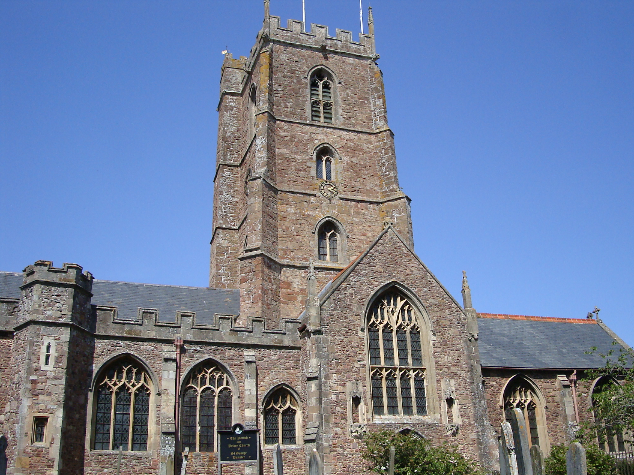
Dunster Priory

Dunster Priory was established as a Benedictine monastery around 1100 in Dunster, Somerset, England. The first church in Dunster was built by William de...

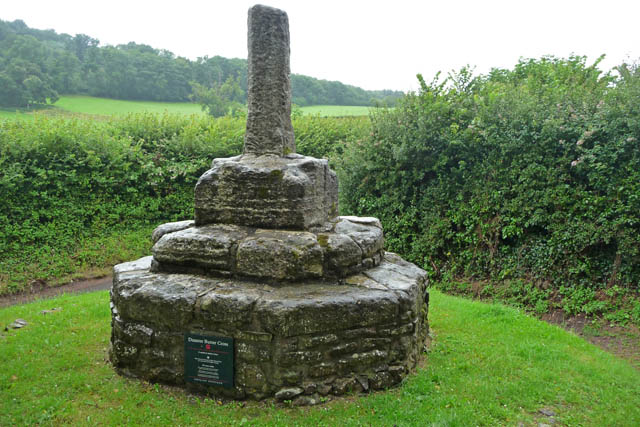
Dunster Butter Cross

The Butter Cross in Dunster within the English county of Somerset is a Grade II* listed building and scheduled monument. The cross was originally erected...

Nearby Amenities

Located within 500m of 51.172611,-3.491933
Timberscombe
Is In: Somerset, England, UK
Place: village
Lat/Long: 51.1688722/-3.4949285
Historic: milestone
Lat/Long: 51.1717655/-3.4956501
Post Box
Brand: Royal Mail
Brand Wikidata: Q638098
Brand Wikipedia: en:Royal Mail
Collection Times: Mo-Fr 10:00; Sa 11:00
Operator: Royal Mail
Operator Wikidata: Q638098
Post Box Type: lamp
Ref: TA24 64
Royal Cypher: EIIR
Royal Cypher Wikidata: Q33102113
Lat/Long: 51.1730321/-3.4942011
Cowbridge
Place: hamlet
Lat/Long: 51.1730593/-3.4943089
Power: pole
Lat/Long: 51.1694433/-3.4886152
Power: pole
Lat/Long: 51.1695543/-3.4904981
Power: pole
Lat/Long: 51.1696191/-3.4916943
Power: pole
Lat/Long: 51.1700731/-3.4925607
Power: pole
Lat/Long: 51.1705163/-3.4934217
Power: pole
Lat/Long: 51.1711158/-3.4946179
Power: pole
Lat/Long: 51.1711133/-3.4964365
Power: pole
Lat/Long: 51.1704473/-3.4970024
Hiking: yes
Information: guidepost
Tourism: information
Lat/Long: 51.1749705/-3.4946679
Access: yes
Barrier: stile
Foot: yes
Material: wood
Stile: stepover
Vehicle: no
Lat/Long: 51.1749874/-3.4946748
The data included in this document is from www.openstreetmap.org. The data is made available under ODbL.

Have you been to Cowbridge?

Leave your review of Cowbridge below (or comments, questions and feedback).