Blackball Hill

Hill, Mountain in Somerset Somerset West and Taunton

England

Blackball Hill

Ordnance Survey Cut Mark This OS cut mark can be found on the wall of Huntsham. It marks a point 72.713m above mean sea level.
Ordnance Survey Cut Mark Credit: Adrian Dust

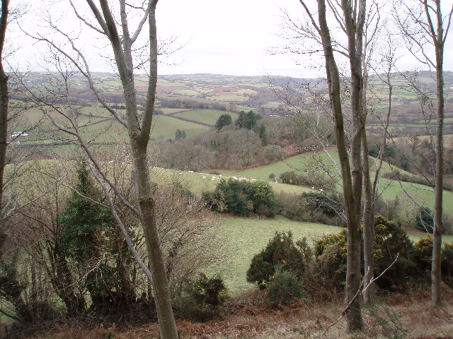
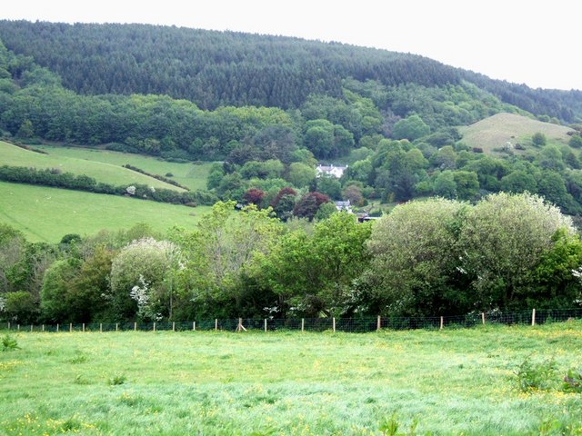
Blackball Hill is a prominent and picturesque hill located in the county of Somerset, England. Situated within the beautiful Mendip Hills, it stands at an elevation of approximately 312 meters (1,024 feet) above sea level. Offering stunning panoramic views of the surrounding countryside, it is a popular destination for locals and tourists alike.

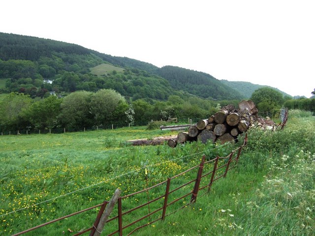
The hill is characterized by its distinctive conical shape, covered in lush green vegetation and dotted with rocky outcrops. It is predominantly composed of limestone, a common feature in the Mendip Hills region. Blackball Hill is part of a larger complex of hills and valleys that form a designated Area of Outstanding Natural Beauty.

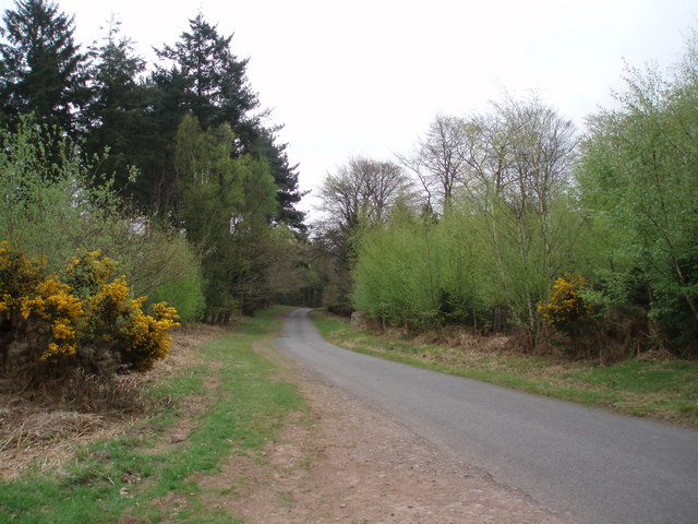
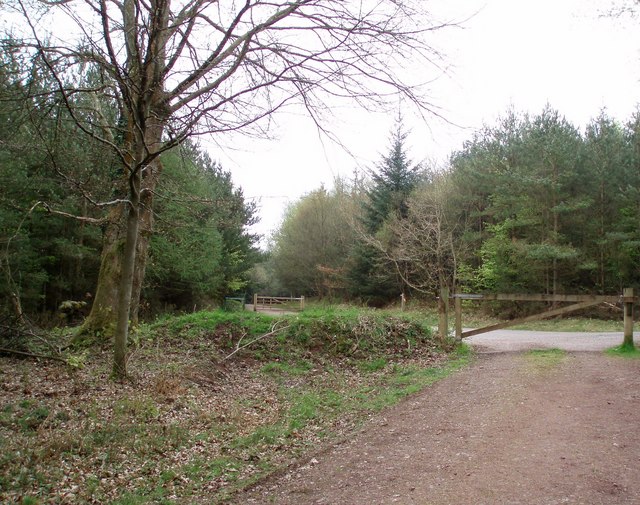
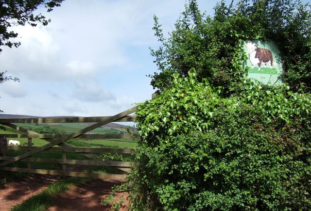
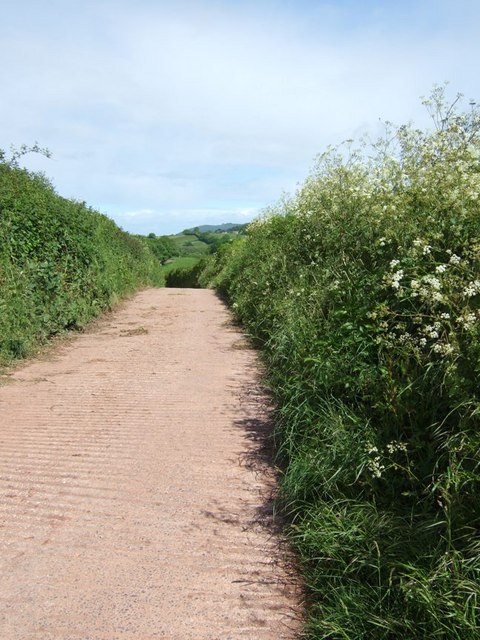
Access to Blackball Hill is provided by well-maintained footpaths and trails, making it accessible to hikers and walkers of various skill levels. The climb to the summit is relatively moderate, and the reward is a breathtaking vista that stretches across the Somerset Levels and beyond.

The hill is also home to a diverse range of flora and fauna, including various species of wildflowers, butterflies, and birds. It serves as an important habitat for wildlife in the area, contributing to the overall ecological diversity of the region.

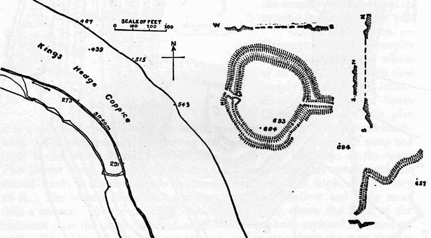
Blackball Hill holds historical significance as well, with evidence of Iron Age settlements and ancient burial sites discovered in the vicinity. These archaeological discoveries add an extra layer of intrigue and fascination to the hill's already captivating natural beauty.

In conclusion, Blackball Hill in Somerset is a stunning hill offering panoramic views, diverse wildlife, and a rich historical heritage. It is a must-visit destination for nature enthusiasts, hikers, and anyone seeking a tranquil escape into the heart of the English countryside.

If you have any feedback on the listing, please let us know in the comments section below.

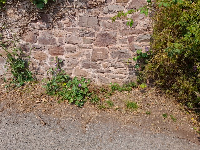
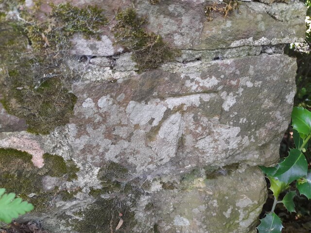
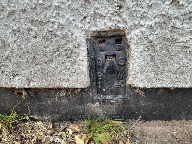
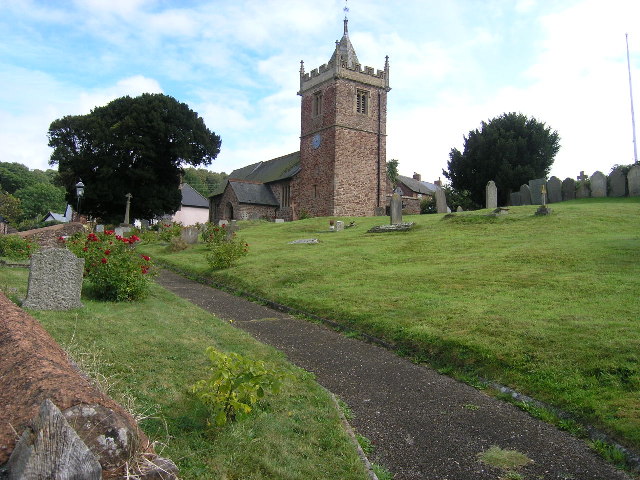
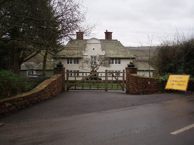
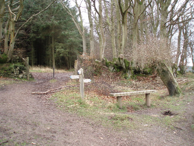
Blackball Hill Images

Images are sourced within 2km of 51.171223/-3.4921389 or Grid Reference SS9542. Thanks to Geograph Open Source API. All images are credited.

Ordnance Survey Cut Mark This OS cut mark can be found on the wall of Huntsham. It marks a point 72.713m above mean sea level.
Ordnance Survey Cut Mark
This OS cut mark can be found on the wall of Huntsham. It marks a point 72.713m above mean sea level.
Ordnance Survey Cut Mark This OS cut mark can be found on the east parapet of Cow Bridge. It marks a point 62.410m above mean sea level.
Ordnance Survey Cut Mark
This OS cut mark can be found on the east parapet of Cow Bridge. It marks a point 62.410m above mean sea level.
Ordnance Survey Flush Bracket (11195) This OS Flush Bracket can be found on the NE angle of the school house. It marks a point 77.073m above mean sea level.
Ordnance Survey Flush Bracket (11195)
This OS Flush Bracket can be found on the NE angle of the school house. It marks a point 77.073m above mean sea level.
Ordnance Survey Cut Mark This OS cut mark can be found on the SW angle of St Petrock's Church. It marks a point 81.800m above mean sea level.
Ordnance Survey Cut Mark
This OS cut mark can be found on the SW angle of St Petrock's Church. It marks a point 81.800m above mean sea level.
Timberscombe, Somerset The church of St Petrock
Timberscombe, Somerset
The church of St Petrock
House at Cowbridge Cross. This very smart house is quietly situated on the lane to Wootton Courtenay. The sign bears testimony to the fact that a large proportion of the passing traffic has four legs.
House at Cowbridge Cross.
This very smart house is quietly situated on the lane to Wootton Courtenay. The sign bears testimony to the fact that a large proportion of the passing traffic has four legs.
Woodland Bridleway near Wootton Courtenay This photograph looks south towards Exmoor, the bridleway goes to Ranscombe Farm.
Woodland Bridleway near Wootton Courtenay
This photograph looks south towards Exmoor, the bridleway goes to Ranscombe Farm.
Hole's Corner The signpost reads left to Croydon Hill and right to Selworthy. There is an inscription on the front of the seat which reads, "In memory of Gary Draper from his friends."
Hole's Corner
The signpost reads left to Croydon Hill and right to Selworthy. There is an inscription on the front of the seat which reads, "In memory of Gary Draper from his friends."
West Somerset Farmland. The tracks through the woods here mostly run along the contours allowing plenty of opportunity to appreciate the views.
West Somerset Farmland.
The tracks through the woods here mostly run along the contours allowing plenty of opportunity to appreciate the views.
Woodland Road. The light green trees edging the road are birches which have just come into leaf. Photograph taken looking down the road towards Dunster.
Woodland Road.
The light green trees edging the road are birches which have just come into leaf. Photograph taken looking down the road towards Dunster.
Bridleway to Timberscombe. The gates on either side of this road mark the long distance bridleway which almost reaches the summit of Croydon Hill (365m.) and finishes in Timberscombe.
Bridleway to Timberscombe.
The gates on either side of this road mark the long distance bridleway which almost reaches the summit of Croydon Hill (365m.) and finishes in Timberscombe.
Fields near Well Farm Lush grass in the fields near Well Farm near Burrow. The village that can be seen directly ahead in the valley is Timberscombe, the largest settlement for some miles in this very rural area.
Fields near Well Farm
Lush grass in the fields near Well Farm near Burrow. The village that can be seen directly ahead in the valley is Timberscombe, the largest settlement for some miles in this very rural area.
Cow in the hedge O.k. it's not a live cow. This sign showing a Herefordshire cow (or bull) is for Well Farm which is up a lane to the right of this image. The bright white horse that can be seen grazing through the gate looks a little like a chalk downs version.
Cow in the hedge
O.k. it's not a live cow. This sign showing a Herefordshire cow (or bull) is for Well Farm which is up a lane to the right of this image. The bright white horse that can be seen grazing through the gate looks a little like a chalk downs version.
Lane to Well Farm The lane to Well Farm is concrete rather than tarmac. Cow parsely dots the verges and the Exmoor hills can be seen in the background.
Lane to Well Farm
The lane to Well Farm is concrete rather than tarmac. Cow parsely dots the verges and the Exmoor hills can be seen in the background.
Opposite Totterdown Farm Stacked logs in a field opposite Totterdown Farm near Timberscombe. The white building in the hills is "Burnells" I think.
Opposite Totterdown Farm
Stacked logs in a field opposite Totterdown Farm near Timberscombe. The white building in the hills is "Burnells" I think.
Looking towards Knowle Hill A meadow full of buttercups bordered by a multi-species hedge and beyond that the heavily wooded hills behind which lie Minehead and the sea. This view is from opposite Totterdown Farm looking towards Knowle Hill. The white building is, I believe, Burnells.
Looking towards Knowle Hill
A meadow full of buttercups bordered by a multi-species hedge and beyond that the heavily wooded hills behind which lie Minehead and the sea. This view is from opposite Totterdown Farm looking towards Knowle Hill. The white building is, I believe, Burnells.
Entrance to Totterdown Farm This gate is the entrance to Totterdown Farm and the little wooden sign shows that it is also the route of a bridleway.
Entrance to Totterdown Farm
This gate is the entrance to Totterdown Farm and the little wooden sign shows that it is also the route of a bridleway.
Bickham Part of the small hamlet of Bickham, near Timberscombe.
Bickham
Part of the small hamlet of Bickham, near Timberscombe.
Show me another place!

Blackball Hill is located at Grid Ref: SS9542 (Lat: 51.171223, Lng: -3.4921389)

Administrative County: Somerset

District: Somerset West and Taunton

Police Authority: Avon and Somerset

What 3 Words

///poorly.local.topping. Near Minehead, Somerset

Related Wikis

Dunster Park and Heathlands

Dunster Park and Heathlands (grid reference SS955441) is a 466.6 hectare biological Site of Special Scientific Interest in Somerset, notified in 2000....

Wootton Courtenay

Wootton Courtenay is a village and civil parish on Exmoor in the Somerset West and Taunton district of Somerset, England. The parish includes the hamlets...

Long Wood Enclosure

Long Wood Enclosure is an enclosure which may have been a univallate Iron Age hill fort, in the West Somerset district of Somerset, England. The hill fort...

Black Ball Camp

Black Ball Camp is an Iron Age hillfort South West of Dunster, Somerset, England on the northern summit of Gallox Hill. It is a Scheduled Monument.It is...

Grabbist Hillfort

Grabbist Hillfort is an Iron Age oval hillfort or defended enclosure, west of Dunster in Somerset, England. The site is 885.8 feet (270.0 m) long and 219...

Bat's Castle

Bats Castle is an Iron Age hillfort at the top of a 213 metres (699 ft) high hill in the parish of Carhampton south south west of Dunster in Somerset,...

Gallox Bridge, Dunster

The Gallox Bridge in Dunster, Somerset, England dates from the 15th century. It has been designated as a Grade I listed building and scheduled monument...
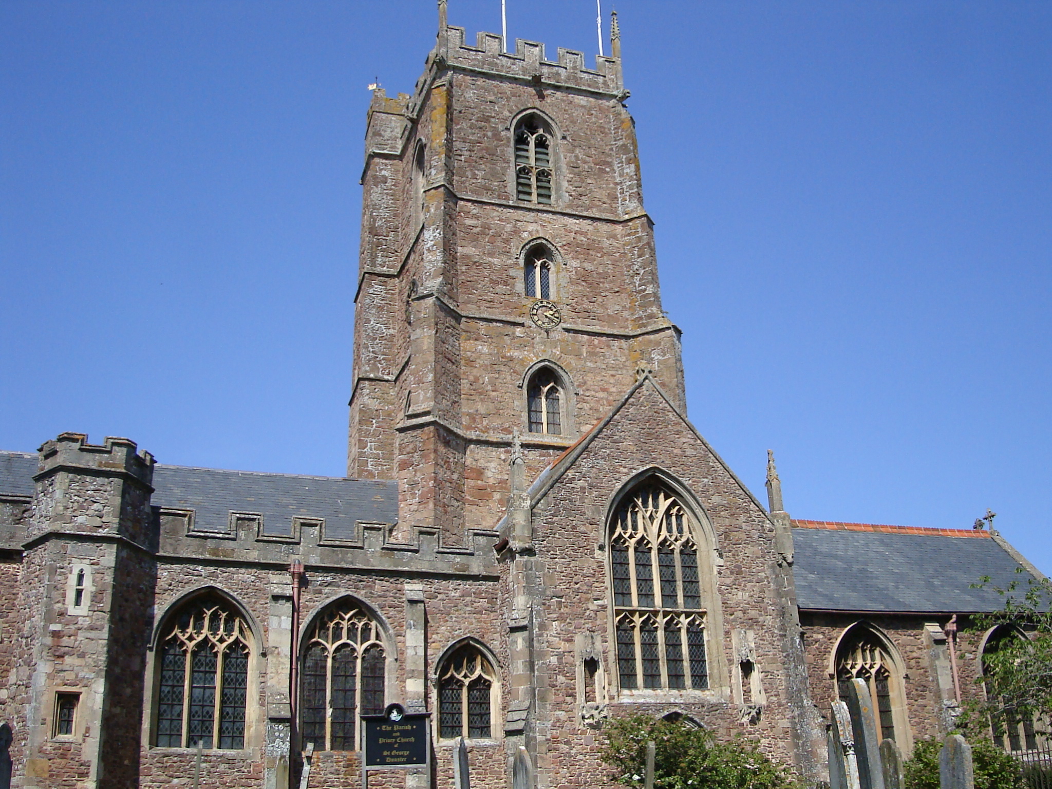
Dunster Priory

Dunster Priory was established as a Benedictine monastery around 1100 in Dunster, Somerset, England. The first church in Dunster was built by William de...

Nearby Amenities

Located within 500m of 51.171223,-3.4921389
Timberscombe
Is In: Somerset, England, UK
Place: village
Lat/Long: 51.1688722/-3.4949285
Post Box
Collection Times: Mo-Fr 15:30; Sa 11:00
Operator: Royal Mail
Operator Wikidata: Q638098
Post Box Type: wall
Ref: TA24 74
Royal Cypher: GR
Royal Cypher Wikidata: Q33102273
Lat/Long: 51.1686122/-3.4952498
Historic: milestone
Lat/Long: 51.1717655/-3.4956501
Access: yes
Barrier: kissing_gate
Foot: yes
Vehicle: no
Lat/Long: 51.1697094/-3.4980858
Post Box
Brand: Royal Mail
Brand Wikidata: Q638098
Brand Wikipedia: en:Royal Mail
Collection Times: Mo-Fr 10:00; Sa 11:00
Operator: Royal Mail
Operator Wikidata: Q638098
Post Box Type: lamp
Ref: TA24 64
Royal Cypher: EIIR
Royal Cypher Wikidata: Q33102113
Lat/Long: 51.1730321/-3.4942011
Cowbridge
Place: hamlet
Lat/Long: 51.1730593/-3.4943089
Bar
Orchards Social Club
Addr City: Minehead
Addr Country: GB
Addr County: Somerset
Addr Housename: The Old Dairy
Addr Postcode: TA24 7TU
Addr Street: Timberscombe By-Pass
Addr Village: Timberscombe
Fhrs Authority: West Somerset
Fhrs Id: 401549
Fhrs Local Authority Id: PI/000009167
Lat/Long: 51.1692516/-3.4968576
Power: pole
Lat/Long: 51.169339/-3.4865713
Power: pole
Lat/Long: 51.1694433/-3.4886152
Power: pole
Lat/Long: 51.1695543/-3.4904981
Power: pole
Lat/Long: 51.1696191/-3.4916943
Power: pole
Lat/Long: 51.1700731/-3.4925607
Power: pole
Lat/Long: 51.1705163/-3.4934217
Power: pole
Lat/Long: 51.1711158/-3.4946179
Power: pole
Lat/Long: 51.1711133/-3.4964365
Power: pole
Lat/Long: 51.1704473/-3.4970024
Power: pole
Lat/Long: 51.1696308/-3.4977105
Telephone
Defibrillator
Booth: K6
Covered: booth
Defibrillator Location: inside red phone box, The Glebe, Timberscombe
Emergency: defibrillator
Listed Status: Grade II
Man Made: telephone_box
Lat/Long: 51.168376/-3.495406
Hiking: yes
Information: guidepost
Tourism: information
Lat/Long: 51.1749705/-3.4946679
Hiking: yes
Information: guidepost
Tourism: information
Lat/Long: 51.1691097/-3.4968292
Hiking: yes
Information: guidepost
Tourism: information
Lat/Long: 51.1691812/-3.496932
Access: yes
Barrier: stile
Foot: yes
Material: wood
Stile: stepover
Vehicle: no
Lat/Long: 51.1749874/-3.4946748
The data included in this document is from www.openstreetmap.org. The data is made available under ODbL.

Have you been to Blackball Hill?

Leave your review of Blackball Hill below (or comments, questions and feedback).