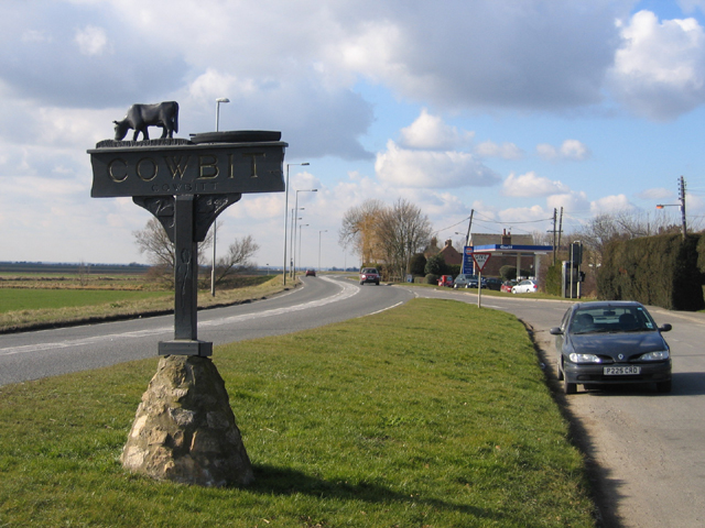
Cowbit
Settlement in Lincolnshire South Holland
England
Cowbit
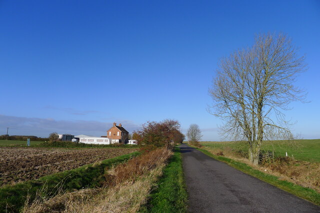
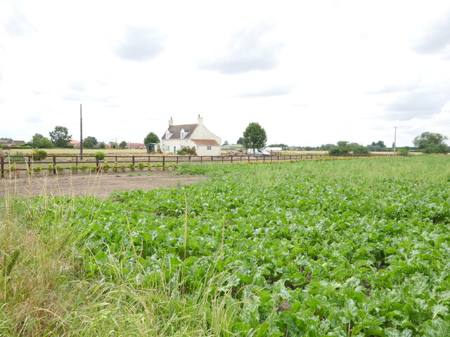
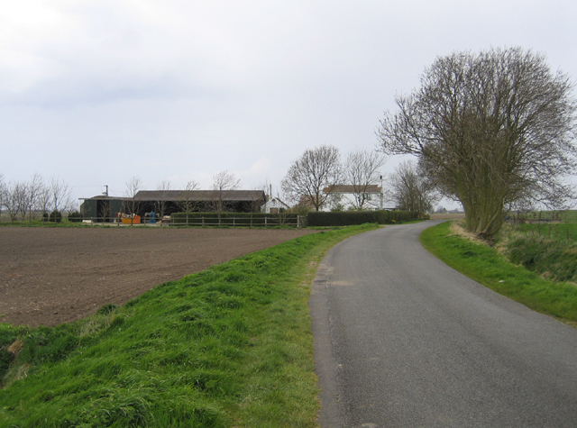
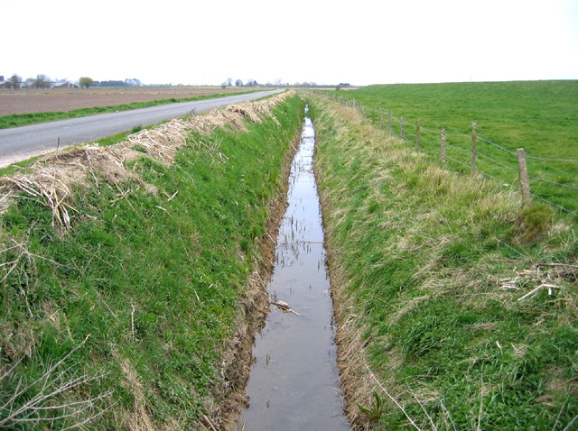
Cowbit is a small village located in the South Holland district of Lincolnshire, England. Situated approximately 5 miles west of Spalding, it covers an area of around 5.9 square kilometers and has a population of just over 1,000 residents. The village is nestled in the heart of the Lincolnshire Fens, an area known for its flat, fertile agricultural land.
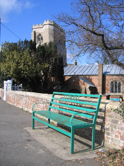
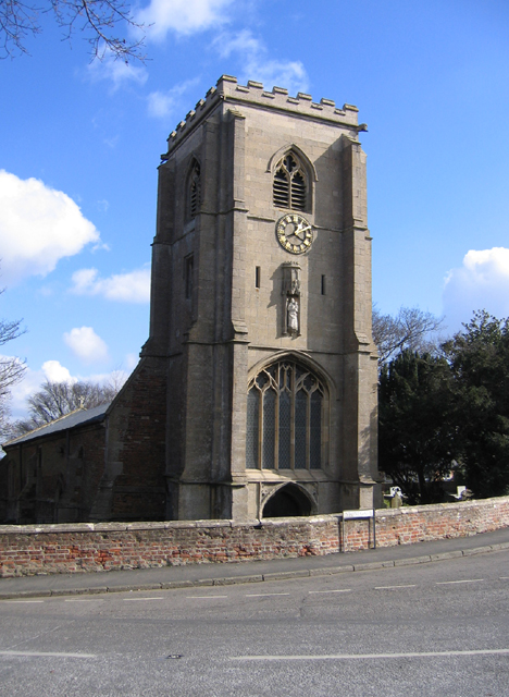
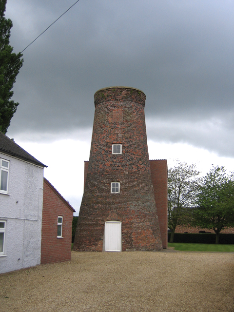
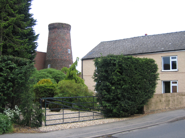
Cowbit is primarily a residential village, with a mixture of traditional cottages and more modern houses. The village center features a few amenities, including a post office, convenience store, and a primary school. The historic St. Mary's Church, dating back to the 12th century, is a prominent landmark in the village.
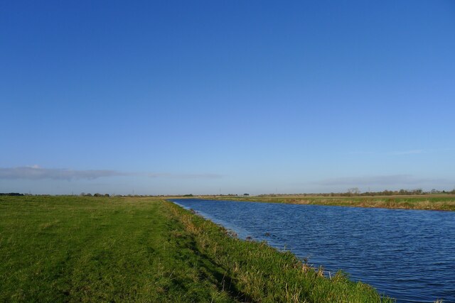
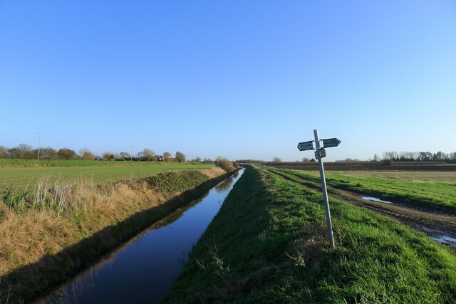
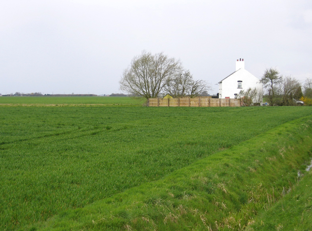
Agriculture plays a significant role in the economy of Cowbit, with many residents employed in farming and related industries. The surrounding countryside is dotted with vast fields growing crops such as potatoes, vegetables, and cereals. The village's proximity to the River Welland also means that fishing is a popular activity among locals and visitors alike.
Cowbit enjoys a tranquil and picturesque setting, with several walking routes and bridleways offering opportunities for outdoor recreation. The village is well-connected by road, with the A16 passing nearby, providing easy access to neighboring towns and cities. It is also within a short driving distance of the popular tourist destination of the Norfolk coast.
Overall, Cowbit offers a peaceful and close-knit community, surrounded by beautiful countryside and benefiting from its agricultural heritage.
If you have any feedback on the listing, please let us know in the comments section below.
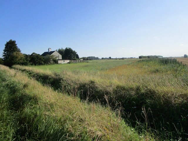
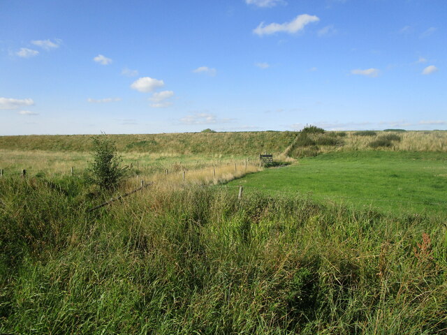
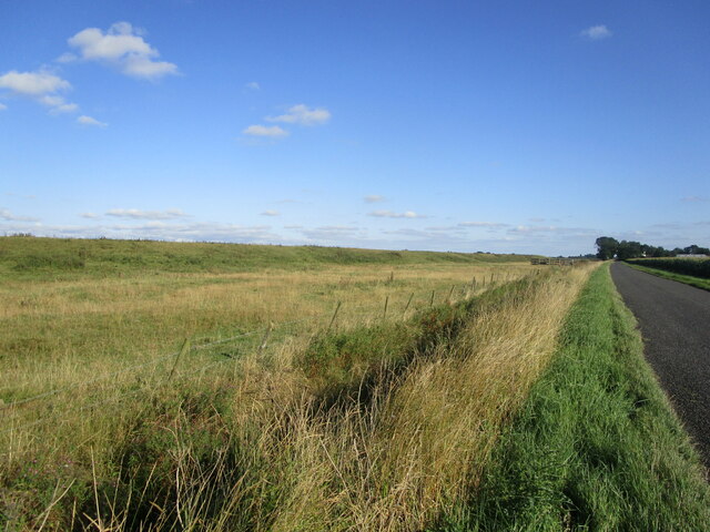
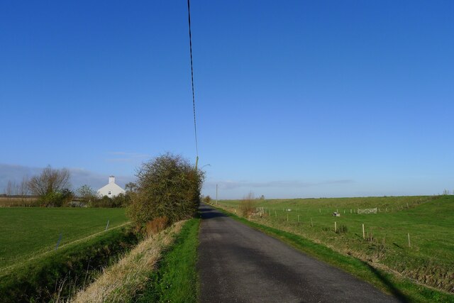
Cowbit Images
Images are sourced within 2km of 52.744948/-0.135624 or Grid Reference TF2518. Thanks to Geograph Open Source API. All images are credited.
Cowbit is located at Grid Ref: TF2518 (Lat: 52.744948, Lng: -0.135624)
Division: Parts of Holland
Administrative County: Lincolnshire
District: South Holland
Police Authority: Lincolnshire
What 3 Words
///mock.sardine.tinny. Near Cowbit, Lincolnshire
Nearby Locations
Related Wikis

Cowbit
Cowbit (locally pronounced Cubbit) is a village and civil parish in the South Holland district of Lincolnshire, England. The population of the civil parish...

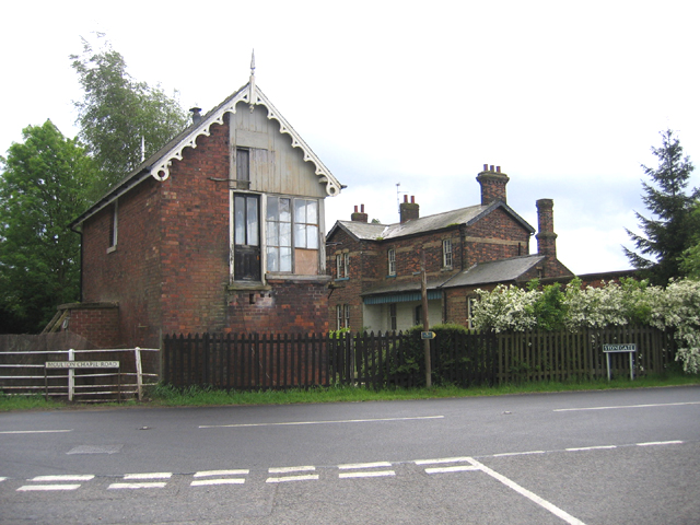
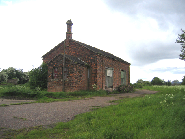
Cowbit railway station
Cowbit railway station was a station in Cowbit, Lincolnshire, England. It was located on the route between Spalding and March. == History == The station...

South Holland District
South Holland is a local government district of Lincolnshire, England. The council is based in Spalding. Other notable towns and villages include Crowland...

Spalding Rural District
Spalding was a rural district in Holland in Lincolnshire, England from 1894 to 1974. It was formed under the Local Government Act 1894 from the Spalding...

Peak Hill, Lincolnshire
Peak Hill is a hamlet in the South Holland district of Lincolnshire, England. It is situated 4 miles (6 km) south from Spalding and 10 miles (16 km) north...

South Holland and The Deepings (UK Parliament constituency)
South Holland and The Deepings is a constituency in Lincolnshire represented in the House of Commons of the UK Parliament since its 1997 creation by John...
Gordon Boswell Romany Museum
The Gordon Boswell Romany Museum is the lifetime's work of Gordon Boswell (died 27 August 2016, aged 76), who amassed a collection of artefacts, photographs...

Moulton Chapel
Moulton Chapel is a village in the South Holland district of Lincolnshire, England. It is on the B1357 road, 4 miles (6 km) south from Moulton, 5 miles...
Related Videos

Lower body workout on Lockdown uk
Workout from home.
Nearby Amenities
Located within 500m of 52.744948,-0.135624100m W of junction with B1357/Barrier Bank,A1073//
Have you been to Cowbit?
Leave your review of Cowbit below (or comments, questions and feedback).