Y Bewpyr

Settlement in Glamorgan

Wales

Y Bewpyr

Ordnance Survey Cut Mark This OS cut mark can be found on the north face of Old Beaupre Castle. It marks a point 25.588m above mean sea level.
Ordnance Survey Cut Mark Credit: Adrian Dust

Y Bewpyr is a small village located in the county of Glamorgan, Wales. Situated in the southern part of the country, it is nestled between the rolling hills and lush greenery that characterizes the region. The village is known for its picturesque beauty and tranquil atmosphere, making it a popular destination for those seeking a peaceful retreat.

The name "Y Bewpyr" translates to "the beaver" in Welsh, although the presence of beavers in the area is minimal. The village is primarily residential, with a small population of locals who enjoy the close-knit community and the idyllic surroundings.

Y Bewpyr boasts a rich history, with evidence of human habitation dating back to ancient times. The village is home to several historic landmarks, including a medieval church that stands as a testament to its past. Visitors can also explore the nearby ruins of an old castle, which offer a glimpse into the area's medieval heritage.

Despite its small size, Y Bewpyr offers a range of amenities for residents and visitors alike. There are a few quaint shops and local businesses that cater to the needs of the community, providing essential services and goods. Additionally, the village is surrounded by scenic walking trails and natural beauty, offering opportunities for outdoor activities such as hiking and birdwatching.

Overall, Y Bewpyr is a charming and peaceful village that encapsulates the beauty of the Welsh countryside. Its rich history, picturesque surroundings, and friendly community make it a hidden gem for those seeking a tranquil escape.

If you have any feedback on the listing, please let us know in the comments section below.
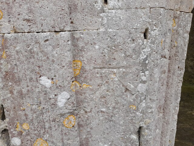
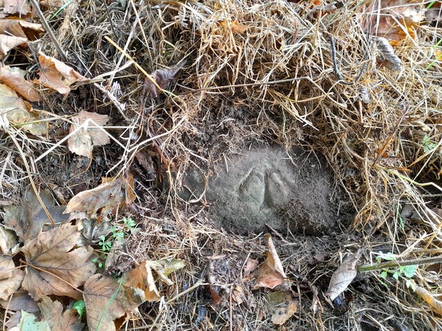
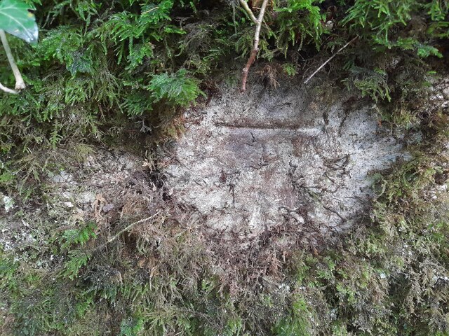
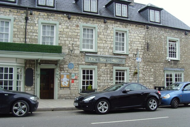
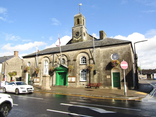
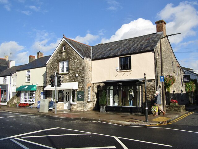
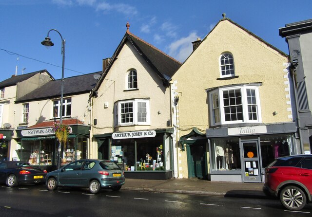
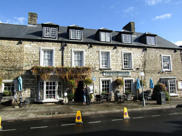
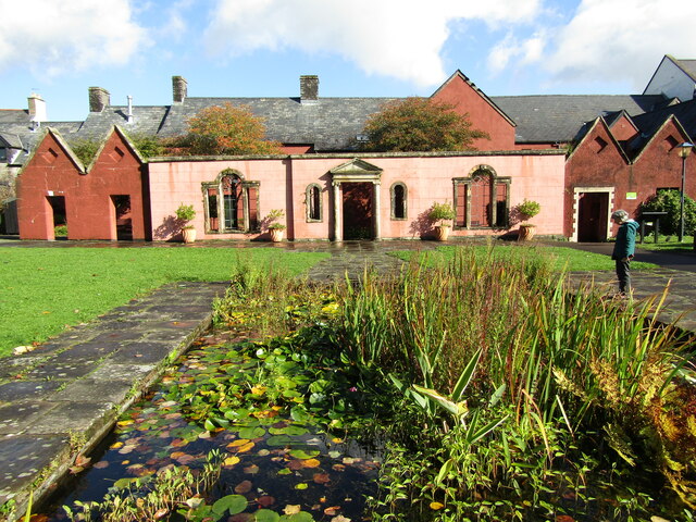
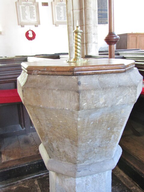
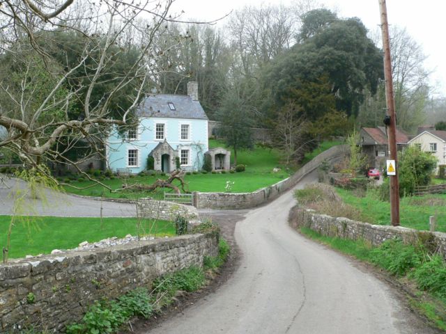
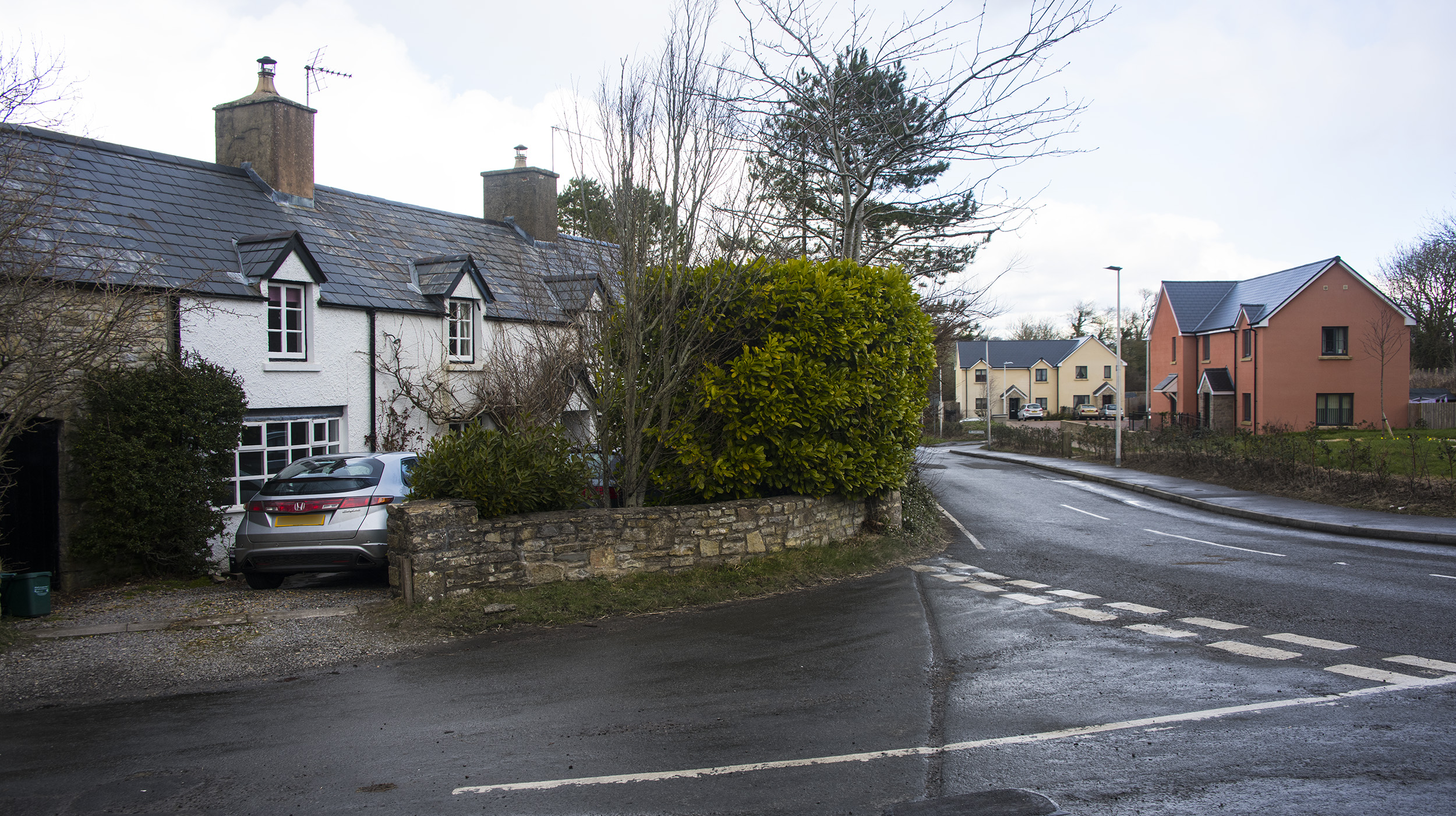
Y Bewpyr Images

Images are sourced within 2km of 51.447128/-3.440375 or Grid Reference ST0073. Thanks to Geograph Open Source API. All images are credited.

Ordnance Survey Cut Mark This OS cut mark can be found on the north face of Old Beaupre Castle. It marks a point 25.588m above mean sea level.
Ordnance Survey Cut Mark
This OS cut mark can be found on the north face of Old Beaupre Castle. It marks a point 25.588m above mean sea level.
Ordnance Survey Cut Mark This OS cut mark can be found on the NW parapet of Howe Mill Bridge. It marks a point 15.591m above mean sea level.
Ordnance Survey Cut Mark
This OS cut mark can be found on the NW parapet of Howe Mill Bridge. It marks a point 15.591m above mean sea level.
Ordnance Survey Pivot This OS pivot can be found on the rock NE side of the track. It marks a point 115.723m above mean sea level.
Ordnance Survey Pivot
This OS pivot can be found on the rock NE side of the track. It marks a point 115.723m above mean sea level.
Ordnance Survey Cut Mark This OS cut mark can be found on the wall north side of the road. It marks a point 73.963m above mean sea level.
Ordnance Survey Cut Mark
This OS cut mark can be found on the wall north side of the road. It marks a point 73.963m above mean sea level.
Cowbridge The Bear Hotel Cowbridge
Cowbridge
The Bear Hotel Cowbridge
Cowbridge - Horse and Groom High Street pub, adjacent to the Town Hall, and set in a stone-built Victorian block (1891).
Cowbridge - Horse and Groom
High Street pub, adjacent to the Town Hall, and set in a stone-built Victorian block (1891).
Cowbridge - Town Hall The building is a former House of Correction and was converted to a town hall in 1830, then enlarged in 1895.
<span class="nowrap"><a title="www.cowbridge-tc.gov.uk" rel="nofollow ugc noopener" href="http://www.cowbridge-tc.gov.uk">Link</a><img style="margin-left:2px;" alt="External link" title="External link - shift click to open in new window" src="https://s1.geograph.org.uk/img/external.png" width="10" height="10"/></span>
Cowbridge - Town Hall
The building is a former House of Correction and was converted to a town hall in 1830, then enlarged in 1895. LinkExternal link
Cowbridge - High Street Historic building now housing the "tipsy Kitchen" cafe and the E91 clothes shop.
<span class="nowrap"><a title="www.cowbridge-tc.gov.uk" rel="nofollow ugc noopener" href="http://www.cowbridge-tc.gov.uk">Link</a><img style="margin-left:2px;" alt="External link" title="External link - shift click to open in new window" src="https://s1.geograph.org.uk/img/external.png" width="10" height="10"/></span>
Cowbridge - High Street
Historic building now housing the "tipsy Kitchen" cafe and the E91 clothes shop. LinkExternal link
Cowbridge - High Street A mix of building fronts and gables on Cowbridge's historic High Street.
<span class="nowrap"><a title="www.cowbridge-tc.gov.uk" rel="nofollow ugc noopener" href="http://www.cowbridge-tc.gov.uk">Link</a><img style="margin-left:2px;" alt="External link" title="External link - shift click to open in new window" src="https://s1.geograph.org.uk/img/external.png" width="10" height="10"/></span>
Cowbridge - High Street
A mix of building fronts and gables on Cowbridge's historic High Street. LinkExternal link
Cowbridge - High Street Historic gabled buildings now housing Arthur John & Co (hardware store) and Tallia (clothes shop).
<span class="nowrap"><a title="www.cowbridge-tc.gov.uk" rel="nofollow ugc noopener" href="http://www.cowbridge-tc.gov.uk">Link</a><img style="margin-left:2px;" alt="External link" title="External link - shift click to open in new window" src="https://s1.geograph.org.uk/img/external.png" width="10" height="10"/></span>
Cowbridge - High Street
Historic gabled buildings now housing Arthur John & Co (hardware store) and Tallia (clothes shop). LinkExternal link
Cowbridge - Vale of Glamorgan Historic High Street inn in the eponymous Vale of Glamorgan. Within the fabric is now a dogs grooming business - and have a hair of the dog next door?
<span class="nowrap"><a title="www.cowbridge-tc.gov.uk" rel="nofollow ugc noopener" href="http://www.cowbridge-tc.gov.uk">Link</a><img style="margin-left:2px;" alt="External link" title="External link - shift click to open in new window" src="https://s1.geograph.org.uk/img/external.png" width="10" height="10"/></span>
Cowbridge - Vale of Glamorgan
Historic High Street inn in the eponymous Vale of Glamorgan. Within the fabric is now a dogs grooming business - and have a hair of the dog next door? LinkExternal link
Cowbridge - Vale of Glamorgan Inn Vintage wall sign advertising Hancock's Beer, a Cardiff brewer bought by Brains in 1999.
Cowbridge - Vale of Glamorgan Inn
Vintage wall sign advertising Hancock's Beer, a Cardiff brewer bought by Brains in 1999.
Cowbridge - The Bear Hotel Historic inn on Cowbridge's High Street.
<span class="nowrap"><a title="www.cowbridge-tc.gov.uk" rel="nofollow ugc noopener" href="http://www.cowbridge-tc.gov.uk">Link</a><img style="margin-left:2px;" alt="External link" title="External link - shift click to open in new window" src="https://s1.geograph.org.uk/img/external.png" width="10" height="10"/></span>
Cowbridge - The Bear Hotel
Historic inn on Cowbridge's High Street. LinkExternal link
Cowbridge - High Street Historic building, attractively clad with ivy.
<span class="nowrap"><a title="www.cowbridge-tc.gov.uk" rel="nofollow ugc noopener" href="http://www.cowbridge-tc.gov.uk">Link</a><img style="margin-left:2px;" alt="External link" title="External link - shift click to open in new window" src="https://s1.geograph.org.uk/img/external.png" width="10" height="10"/></span>
Cowbridge - High Street
Historic building, attractively clad with ivy. LinkExternal link
Cowbridge - Old Hall Grounds Medieval building located within historic Roman and Town Wall bounds.
<span class="nowrap"><a title="www.oldhallgardens.org" rel="nofollow ugc noopener" href="http://www.oldhallgardens.org">Link</a><img style="margin-left:2px;" alt="External link" title="External link - shift click to open in new window" src="https://s1.geograph.org.uk/img/external.png" width="10" height="10"/></span>
Cowbridge - Old Hall Grounds
Medieval building located within historic Roman and Town Wall bounds. LinkExternal link
Cowbridge - Physic Garden Classical style temple within Cowbridge's historic herbal medicine garden.
<span class="nowrap"><a title="www.cowbridgephysicgarden.org" rel="nofollow ugc noopener" href="http://www.cowbridgephysicgarden.org">Link</a><img style="margin-left:2px;" alt="External link" title="External link - shift click to open in new window" src="https://s1.geograph.org.uk/img/external.png" width="10" height="10"/></span>
Cowbridge - Physic Garden
Classical style temple within Cowbridge's historic herbal medicine garden. LinkExternal link
Cowbridge - Physic Garden Espalier apples within Cowbridge's historic herbal medicine garden.
<span class="nowrap"><a title="www.cowbridgephysicgarden.org" rel="nofollow ugc noopener" href="http://www.cowbridgephysicgarden.org">Link</a><img style="margin-left:2px;" alt="External link" title="External link - shift click to open in new window" src="https://s1.geograph.org.uk/img/external.png" width="10" height="10"/></span>
Cowbridge - Physic Garden
Espalier apples within Cowbridge's historic herbal medicine garden. LinkExternal link
Cowbridge - Font "The font is of early Norman design and is carved from a single block of local Sutton stone".
<span class="nowrap"><a title="www.cowbridgeparish.com" rel="nofollow ugc noopener" href="http://www.cowbridgeparish.com">Link</a><img style="margin-left:2px;" alt="External link" title="External link - shift click to open in new window" src="https://s1.geograph.org.uk/img/external.png" width="10" height="10"/></span>
Cowbridge - Font
"The font is of early Norman design and is carved from a single block of local Sutton stone". LinkExternal link
Show me another place!

Y Bewpyr is located at Grid Ref: ST0073 (Lat: 51.447128, Lng: -3.440375)

Unitary Authority: The Vale of Glamorgan

Police Authority: South Wales

Also known as: Beaupré, Old Beaupré

What 3 Words

///drain.surging.compiler. Near Cowbridge, Vale of Glamorgan

Related Wikis

Llandough Castle

Llandough Castle is a 14th-century tower house located in the Vale of Glamorgan, South Wales. Initially constructed as a fortified residential manor, the...

Llandough, Llanfair

Llandough (Welsh: Llandochau) is a village in the community of Llanfair, south of Cowbridge in the Vale of Glamorgan, Wales. == Notable landmarks == The...

The Herberts

The Herberts is a hamlet in the Vale of Glamorgan, Wales. It is located immediately to the north of the village of St. Mary Church and southwest of Llandough...

St Hilary Platform railway station

St Hilary Platform was a short-lived station in the Vale of Glamorgan in South Wales. == History == The station was one of four 'platforms' opened on the...

Nearby Amenities

Located within 500m of 51.447128,-3.440375
Llandough
Alt Name: Llandough-juxta-Cowbridge
Created By: Potlatch 0.10c
Is In: Cowbridge
Name Cy: Llandochau-Pen-Y-Bont
Note: Not to be confused with Llandough-juxta-Penarth!
Place: village
Wikidata: Q13644928
Lat/Long: 51.4467027/-3.447191
Power: pole
Lat/Long: 51.447206/-3.4406008
Power: pole
Lat/Long: 51.4467726/-3.4409014
Power: pole
Lat/Long: 51.446198/-3.4412687
Power: pole
Lat/Long: 51.4483322/-3.4398204
Power: pole
Lat/Long: 51.4501726/-3.4450185
Power: pole
Lat/Long: 51.4496962/-3.4441817
Power: pole
Lat/Long: 51.4492081/-3.443251
Power: pole
Lat/Long: 51.4486982/-3.4422961
Power: pole
Lat/Long: 51.4481667/-3.4412849
Power: pole
Lat/Long: 51.447619/-3.4403146
Power: pole
Lat/Long: 51.4469163/-3.4389111
Power: pole
Lat/Long: 51.4463579/-3.4378463
Power: pole
Lat/Long: 51.4463295/-3.4367251
Power: pole
Lat/Long: 51.4463128/-3.4347135
Give Way
Direction: forward
Lat/Long: 51.4458487/-3.4453363
Direction: 235
Generator Method: photovoltaic
Generator Output Electricity: yes
Generator Solar Modules: 20
Generator Source: solar
Generator Type: solar_photovoltaic_panel
Location: roof
Power: generator
Lat/Long: 51.4467458/-3.4464991
Direction: SSE
Generator Method: photovoltaic
Generator Output Electricity: yes
Generator Solar Modules: 14
Generator Source: solar
Generator Type: solar_photovoltaic_panel
Location: roof
Power: generator
Lat/Long: 51.4462451/-3.4343675
Direction: 350
Generator Method: photovoltaic
Generator Output Electricity: yes
Generator Source: solar
Generator Type: solar_photovoltaic_panel
Location: roof
Power: generator
Lat/Long: 51.4458824/-3.4467028
The data included in this document is from www.openstreetmap.org. The data is made available under ODbL.

Have you been to Y Bewpyr?

Leave your review of Y Bewpyr below (or comments, questions and feedback).