Y Britwn
Settlement in Glamorgan
Wales
Y Britwn
Y Bwthyn, Glamorgan is a small village located in the county borough of Rhondda Cynon Taf, Wales. Situated on the southern edge of the Brecon Beacons National Park, Y Bwthyn is known for its picturesque surroundings and tranquil atmosphere. The village is nestled amidst rolling hills and lush greenery, offering breathtaking views of the Welsh countryside.
Y Bwthyn has a rich history that dates back to the medieval period when it served as a farming community. Today, it retains much of its traditional charm, with several historic buildings and landmarks dotting its landscape. The village church, St. Mary's, is a prominent feature and attracts visitors with its stunning architecture and stained glass windows.
Despite its small size, Y Bwthyn offers a range of amenities for its residents and visitors. There is a local convenience store, a post office, and a community center that hosts various events and activities throughout the year. The village also has a primary school, providing education to the local children.
For outdoor enthusiasts, Y Bwthyn offers ample opportunities for exploring nature. The surrounding area is ideal for hiking, cycling, and birdwatching, with numerous trails and paths crisscrossing the countryside. The nearby Brecon Beacons National Park provides further options for outdoor activities, including mountaineering, fishing, and camping.
In conclusion, Y Bwthyn, Glamorgan is a charming village that combines natural beauty with a sense of history. Its idyllic location and peaceful ambiance make it an attractive destination for those seeking a break from the hustle and bustle of city life.
If you have any feedback on the listing, please let us know in the comments section below.
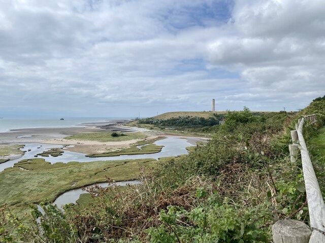
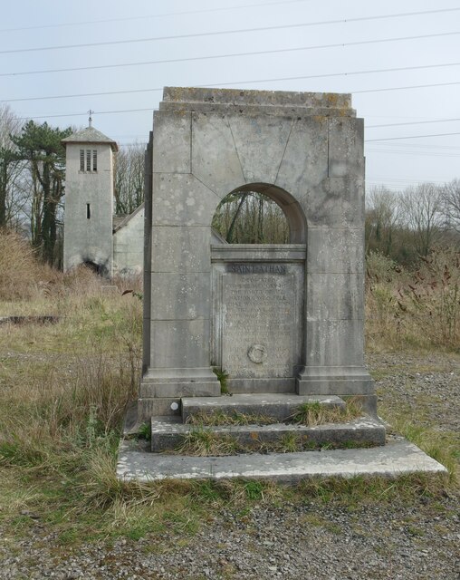
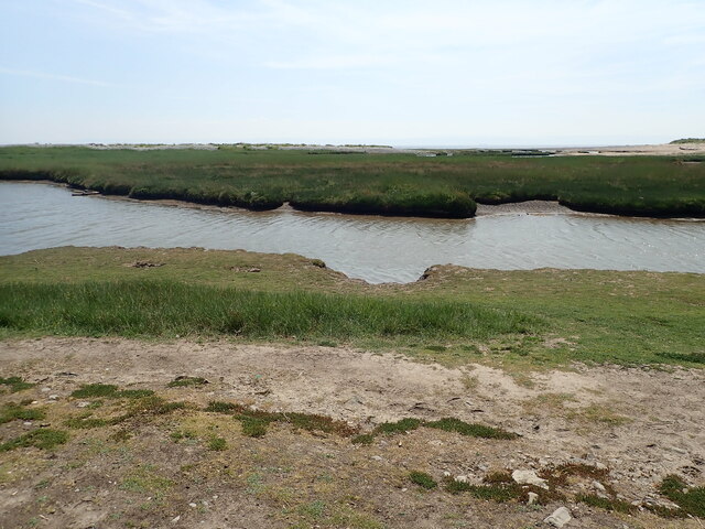
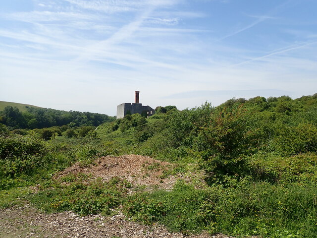
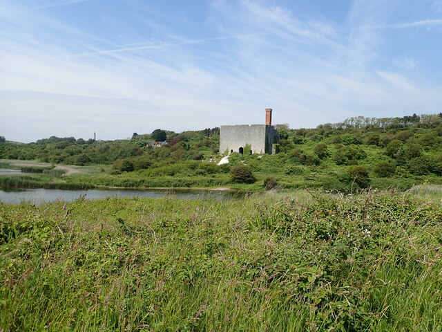
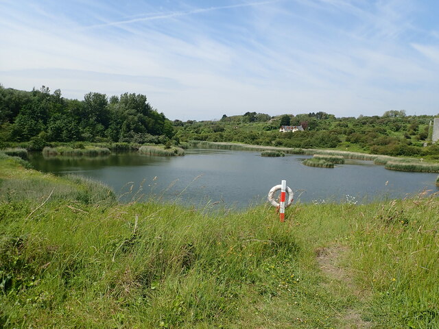
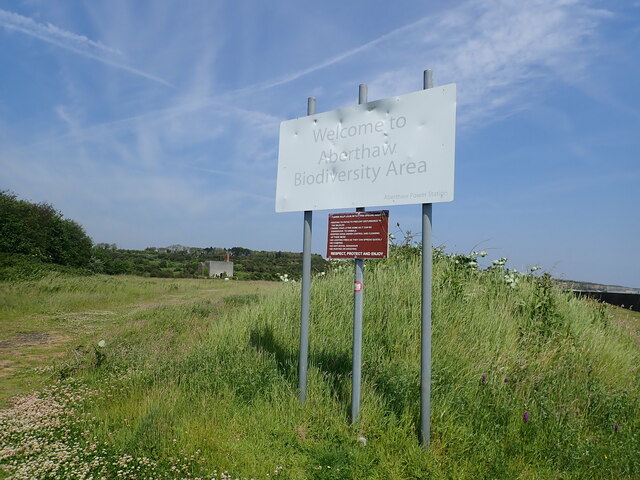
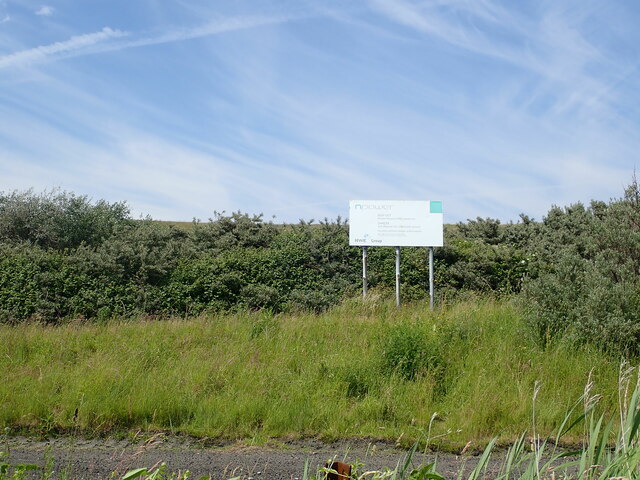
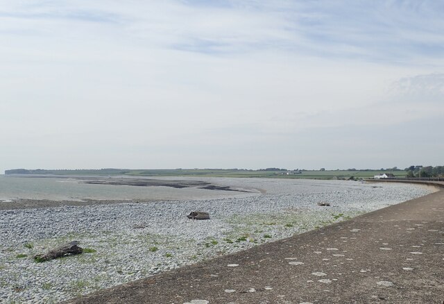
Y Britwn Images
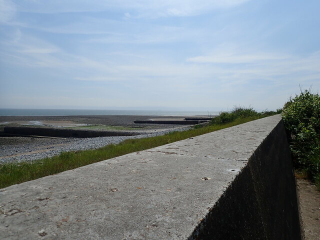
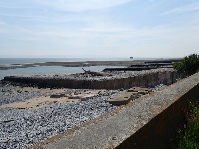
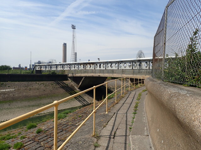
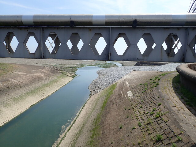
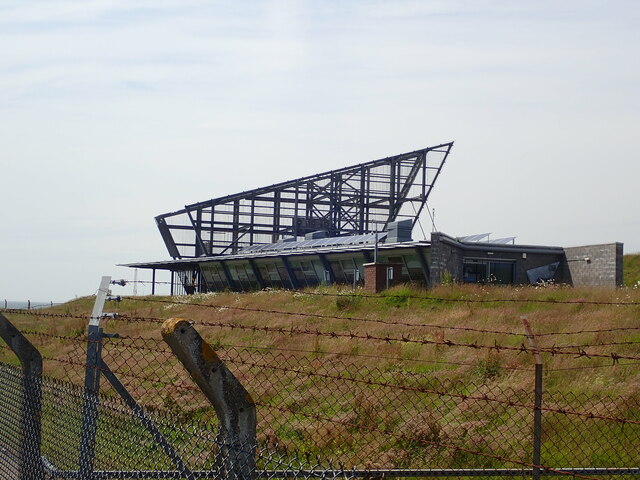
Images are sourced within 2km of 51.393717/-3.3955753 or Grid Reference ST0367. Thanks to Geograph Open Source API. All images are credited.

Y Britwn is located at Grid Ref: ST0367 (Lat: 51.393717, Lng: -3.3955753)
Unitary Authority: The Vale of Glamorgan
Police Authority: South Wales
Also known as: Burton
What 3 Words
///groomed.strike.polar. Near Rhoose, Vale of Glamorgan
Nearby Locations
Related Wikis

Boys Village
St Athan Boys' Village was a village-style holiday camp located in West Aberthaw, Vale of Glamorgan, Wales. == Development and operations == Philanthropist...

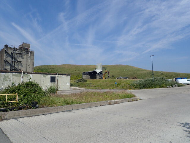
Aberthaw Cement Works
Aberthaw Cement Works are cement works in the Vale of Glamorgan near the village of East Aberthaw in Wales. == History == The Blue Lias limestone of Aberthaw...
Aberthaw
Aberthaw (Welsh: Aberddawan) is an area containing the villages of East Aberthaw and West Aberthaw, on the coast of South Wales about 5 miles (8 km) west...
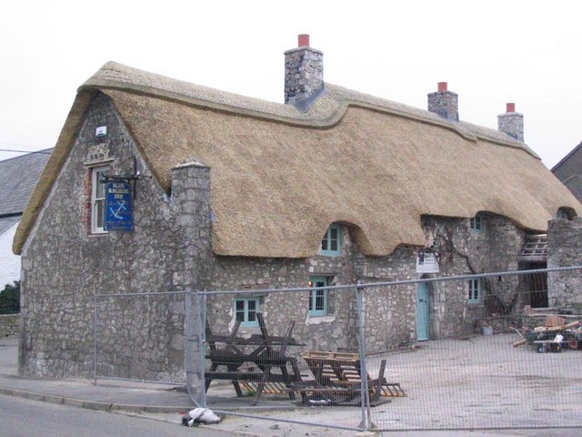
The Blue Anchor Inn
The Blue Anchor Inn is a Grade II* listed inn in Aberthaw, Vale of Glamorgan, south Wales. == History == It is a long low building with walls and low...

Aberthaw High Level railway station
Aberthaw High Level railway station was a Vale of Glamorgan Railway station operated by the Barry Railway which served Aberthaw, located near the north...

Aberthaw Low Level railway station
Aberthaw Low Level railway station was the Taff Vale Railway station which served East Aberthaw, located near the north shore of the Bristol Channel in...
St Athan Road railway station
St Athan Road railway station served the village of St Athan in the Vale of Glamorgan in South Wales. == History == The station was built by the Cowbridge...

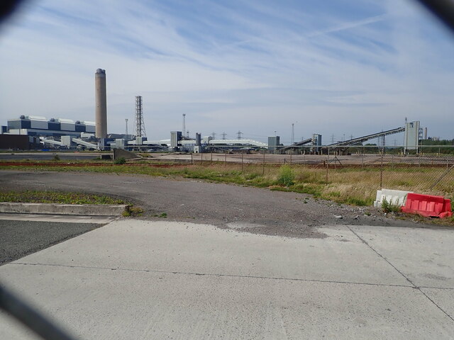
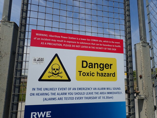
Aberthaw power stations
Aberthaw Power Station refers to two decommissioned coal-fired and co-fired biomass power stations on the coast of South Wales, near Barry in the Vale...
Nearby Amenities
Located within 500m of 51.393717,-3.3955753Have you been to Y Britwn?
Leave your review of Y Britwn below (or comments, questions and feedback).