Bratoft
Settlement in Lincolnshire East Lindsey
England
Bratoft
Bratoft is a small village located in the East Lindsey district of Lincolnshire, England. Situated approximately 6 miles east of the market town of Spilsby, it is nestled in the picturesque Lincolnshire Wolds, an area of outstanding natural beauty.
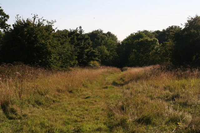
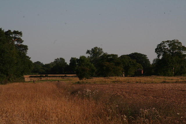
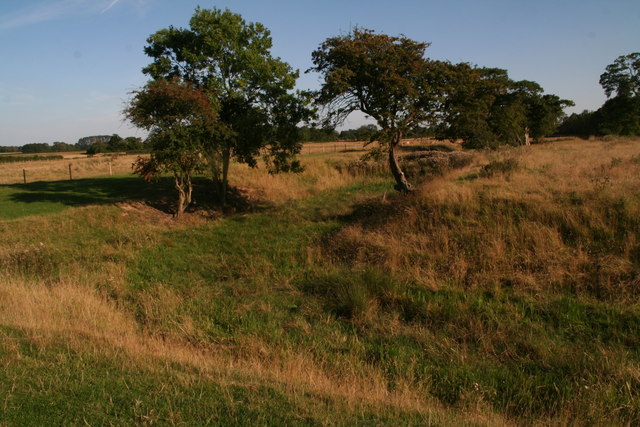
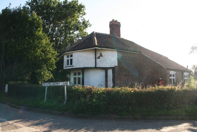
Bratoft is a rural village with a population of around 200 people. It is characterized by its tranquil and idyllic setting, surrounded by rolling hills and verdant farmland. The village itself consists of a scattering of traditional stone cottages, some of which date back to the 17th century, adding a charming and historic ambiance to the area.
There are limited amenities in Bratoft, with no shops or pubs within the village itself. However, it benefits from its close proximity to nearby towns and villages, such as Spilsby and the coastal resort of Skegness, where residents can access a wider range of services and facilities.
Bratoft is an ideal location for those seeking a peaceful and rural lifestyle. It offers ample opportunities for outdoor activities, such as walking, cycling, and horse riding, with numerous scenic routes and trails crisscrossing the surrounding countryside.
The village is also known for its rich history, with archaeological evidence suggesting human habitation in the area since the Iron Age. Visitors to Bratoft can explore the nearby St. Peter's Church, a Grade II listed building with a Norman tower, which serves as a reminder of the village's historic roots.
In conclusion, Bratoft is a small and picturesque village in Lincolnshire, offering a peaceful and rural lifestyle amidst the stunning landscapes of the Lincolnshire Wolds.
If you have any feedback on the listing, please let us know in the comments section below.
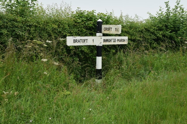
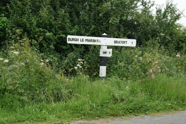
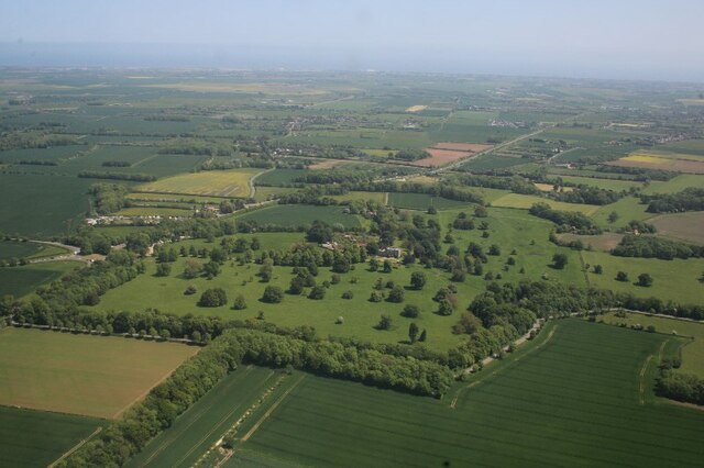
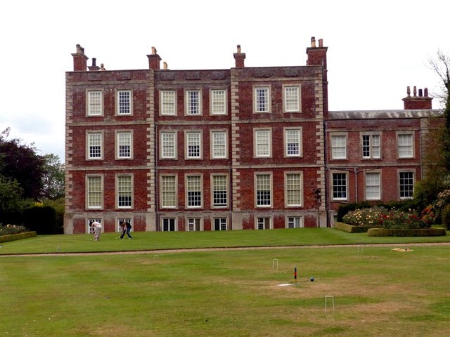
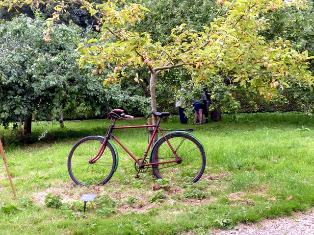
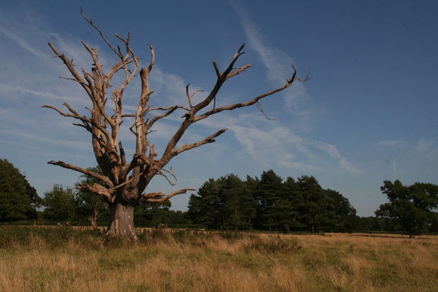
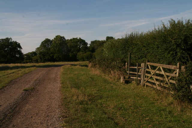
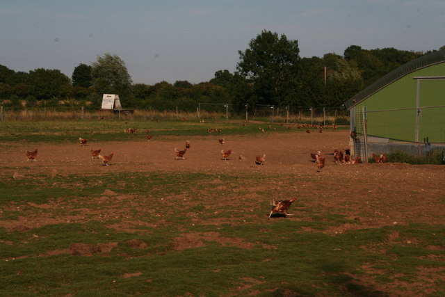
Bratoft Images
Images are sourced within 2km of 53.161777/0.201775 or Grid Reference TF4765. Thanks to Geograph Open Source API. All images are credited.


Bratoft is located at Grid Ref: TF4765 (Lat: 53.161777, Lng: 0.201775)
Division: Parts of Lindsey
Administrative County: Lincolnshire
District: East Lindsey
Police Authority: Lincolnshire
What 3 Words
///revised.mats.legroom. Near Burgh le Marsh, Lincolnshire
Nearby Locations
Related Wikis

Bratoft
Bratoft is a small hamlet in the East Lindsey district of Lincolnshire, England. It is situated approximately 5 miles (8 km) east from Spilsby, 2 miles...

Irby in the Marsh
Irby in the Marsh is a village and civil parish in the East Lindsey district of Lincolnshire, England. It is situated on the B1195 road, geographically...

Burgh-le-Marsh railway station
Burgh-le-Marsh was a railway station on the East Lincolnshire Railway which served the town of Burgh le Marsh in Lincolnshire between 1848 and 1970. It...
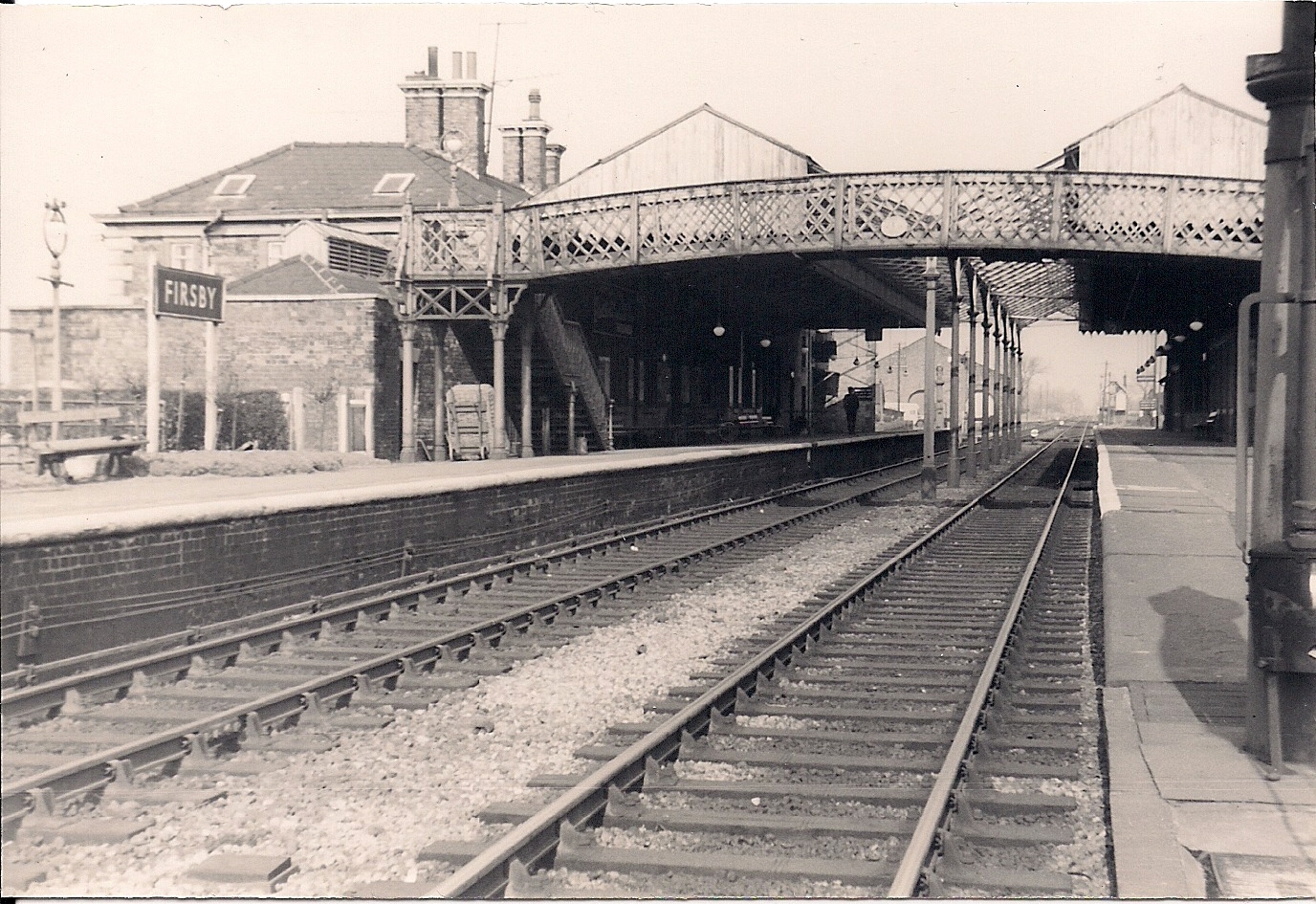
Firsby railway station
Firsby railway station was a station in Firsby, Lincolnshire. It served as a main line station and a terminus for two branch lines to Skegness and Spilsby...

Gunby Hall
Gunby Hall is a country house in Gunby, near Spilsby, in Lincolnshire, England, reached by a half mile long private drive. The Estate comprises the 42...

RAF Spilsby
Royal Air Force Spilsby or more simply RAF Spilsby is a former Royal Air Force station during the Second World War and the Cold War located in the rural...

Firsby
Firsby is a small rural linear village and civil parish in the East Lindsey district of Lincolnshire, England. It is situated 30 miles (48 km) east from...

Burgh le Marsh
Burgh le Marsh is a town and civil parish in the East Lindsey district of Lincolnshire, England. == Geography == The town is built on a low hill surrounded...
Nearby Amenities
Located within 500m of 53.161777,0.201775Have you been to Bratoft?
Leave your review of Bratoft below (or comments, questions and feedback).