Washdike Holt

Wood, Forest in Lincolnshire East Lindsey

England

Washdike Holt

Exquisite beauty This solitary snowdrop displays its finery to its full extent.
Exquisite beauty Credit: Ian Paterson

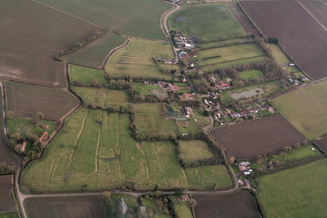
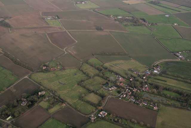
Washdike Holt is a small village located in the county of Lincolnshire, in the East Midlands region of England. Situated within the district of Wood, Forest, the village is surrounded by picturesque landscapes and dense woodland areas, making it an idyllic retreat for nature lovers and outdoor enthusiasts.

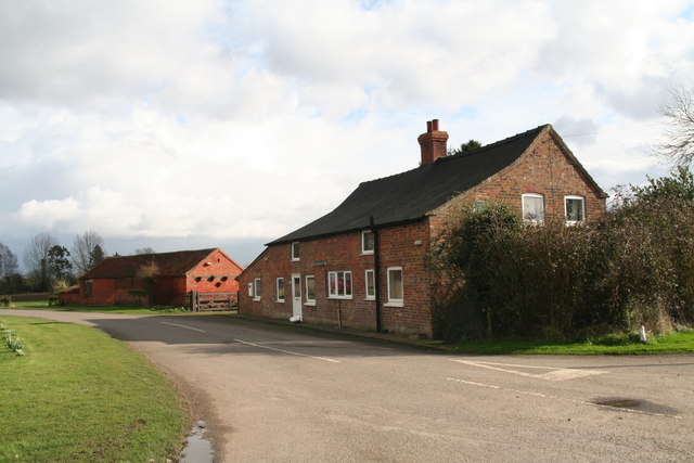
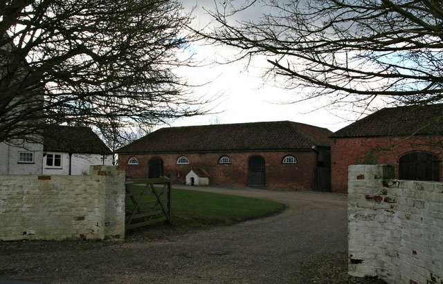
With a population of around 500 residents, Washdike Holt is known for its peaceful and tranquil atmosphere. The village is characterized by its charming cottages, many of which date back several centuries, adding to its historic appeal. The local architecture is predominantly traditional with a mix of brick and timber-framed buildings.

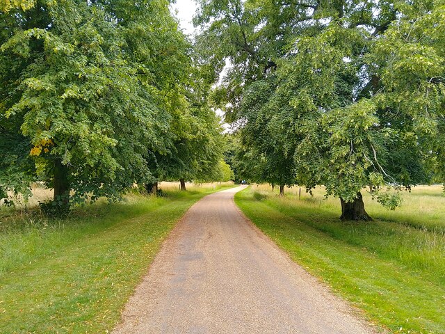
The village is well-connected to neighboring towns and cities, with good transportation links making it easily accessible. The nearest major town is Lincoln, located approximately 20 miles to the south-west, offering a range of amenities and services.

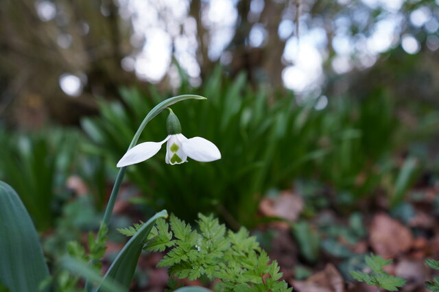
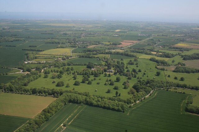
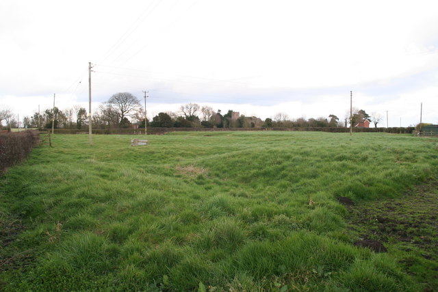
Washdike Holt is surrounded by sprawling forests and woodlands, providing ample opportunities for hiking, cycling, and exploring the great outdoors. The nearby Wood, Forest district is home to a variety of plant and animal species, making it a popular destination for nature enthusiasts and wildlife photographers.

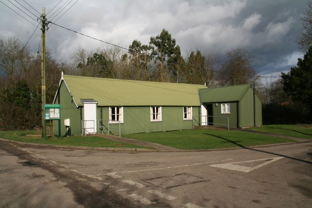
Local amenities in Washdike Holt include a village hall, a primary school, and a small convenience store, ensuring that residents have access to essential services. The village also has a close-knit community, with regular social events and activities organized throughout the year.

Overall, Washdike Holt offers a peaceful and scenic setting, making it an attractive destination for those seeking a rural lifestyle in the heart of Lincolnshire's woodlands.

If you have any feedback on the listing, please let us know in the comments section below.

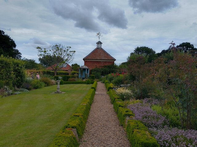
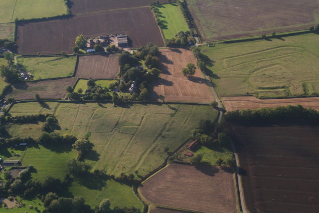
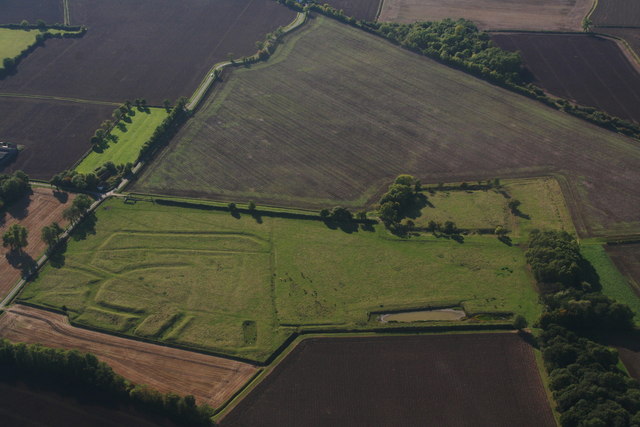
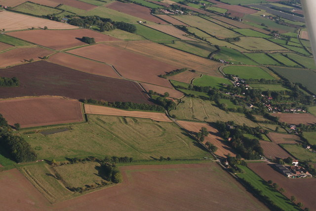
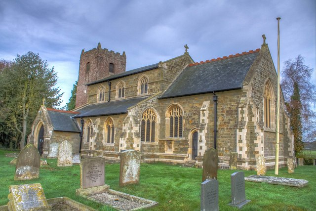
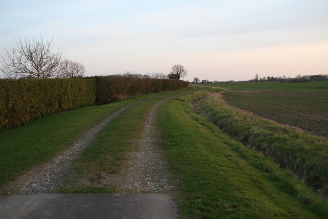
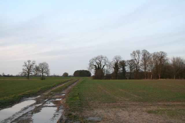
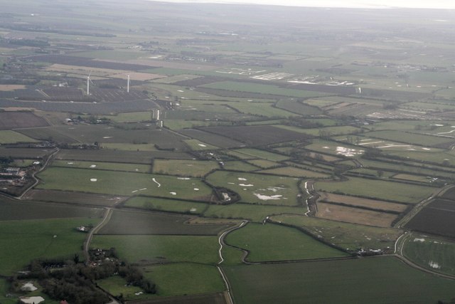
Washdike Holt Images

Images are sourced within 2km of 53.167046/0.20282967 or Grid Reference TF4765. Thanks to Geograph Open Source API. All images are credited.

Exquisite beauty This solitary snowdrop displays its finery to its full extent.
Exquisite beauty
This solitary snowdrop displays its finery to its full extent.
Here kitty, kitty, kitty. ....  Kitty?! Amongst the myriad of scattered drinks cans, bottles, takeaway wrappers, cigarette papers and other items ejected from thoughtless vehicle windows, someone has discarded this poor unfortunate creature at the end of the pleasant footpath.
 
Lucky black cat anyone?
Here kitty, kitty, kitty. .... Kitty?!
Amongst the myriad of scattered drinks cans, bottles, takeaway wrappers, cigarette papers and other items ejected from thoughtless vehicle windows, someone has discarded this poor unfortunate creature at the end of the pleasant footpath. Lucky black cat anyone?
Gunby: aerial 2023
Gunby: aerial 2023
Gunby Hall path The path to Gunby Hall, a National Trust property.
Gunby Hall path
The path to Gunby Hall, a National Trust property.
Gunby Hall garden
Gunby Hall garden
Bratoft medieval village site: aerial 2015 Medieval settlement (moat, crofts, tofts, building, and ridge and furrow).
See: <span class="nowrap"><a title="http://www.pastscape.org.uk/hob.aspx?hob_id=355282&sort=2&rational=m&recordsperpage=10&maplat=53.16450000&maplong=0.20390000&mapisa=1000&mapist=ll&mapilo=0.2039&mapila=53.1645&mapiloe=e&mapilan=n&mapios=TF473653&mapigrn=365342&mapigre=547317&mapipc=" rel="nofollow ugc noopener" href="http://www.pastscape.org.uk/hob.aspx?hob_id=355282&sort=2&rational=m&recordsperpage=10&maplat=53.16450000&maplong=0.20390000&mapisa=1000&mapist=ll&mapilo=0.2039&mapila=53.1645&mapiloe=e&mapilan=n&mapios=TF473653&mapigrn=365342&mapigre=547317&mapipc=">Link</a><img style="margin-left:2px;" alt="External link" title="External link - shift click to open in new window" src="https://s1.geograph.org.uk/img/external.png" width="10" height="10"/></span>
Bratoft medieval village site: aerial 2015
Medieval settlement (moat, crofts, tofts, building, and ridge and furrow). See: LinkExternal link
Bratoft medieval village site and Bratoft Hall moated site: aerial 2015 Left is medieval settlement (moat, crofts, tofts, building, and ridge and furrow).
See: <span class="nowrap"><a title="http://www.pastscape.org.uk/hob.aspx?hob_id=355282&sort=2&rational=m&recordsperpage=10&maplat=53.16450000&maplong=0.20390000&mapisa=1000&mapist=ll&mapilo=0.2039&mapila=53.1645&mapiloe=e&mapilan=n&mapios=TF473653&mapigrn=365342&mapigre=547317&mapipc=" rel="nofollow ugc noopener" href="http://www.pastscape.org.uk/hob.aspx?hob_id=355282&sort=2&rational=m&recordsperpage=10&maplat=53.16450000&maplong=0.20390000&mapisa=1000&mapist=ll&mapilo=0.2039&mapila=53.1645&mapiloe=e&mapilan=n&mapios=TF473653&mapigrn=365342&mapigre=547317&mapipc=">Link</a><img style="margin-left:2px;" alt="External link" title="External link - shift click to open in new window" src="https://s1.geograph.org.uk/img/external.png" width="10" height="10"/></span>
Centre right is moated site of Hall, a medieval house built by the Markham family who owned the site between 1409 and 1538. The house subsequently passed through marriage to the Massingberds, who in 1698 had Bratoft Hall demolished and moved to a new house at Gunby. The remains include the earthworks of a raised moated platform where the buried remains of the medieval house are located.
See: <span class="nowrap"><a title="http://www.pastscape.org.uk/hob.aspx?hob_id=355260&sort=2&rational=m&recordsperpage=10&maplat=53.16450000&maplong=0.20390000&mapisa=1000&mapist=ll&mapilo=0.2039&mapila=53.1645&mapiloe=e&mapilan=n&mapios=TF473653&mapigrn=365342&mapigre=547317&mapipc=" rel="nofollow ugc noopener" href="http://www.pastscape.org.uk/hob.aspx?hob_id=355260&sort=2&rational=m&recordsperpage=10&maplat=53.16450000&maplong=0.20390000&mapisa=1000&mapist=ll&mapilo=0.2039&mapila=53.1645&mapiloe=e&mapilan=n&mapios=TF473653&mapigrn=365342&mapigre=547317&mapipc=">Link</a><img style="margin-left:2px;" alt="External link" title="External link - shift click to open in new window" src="https://s1.geograph.org.uk/img/external.png" width="10" height="10"/></span>
Bratoft medieval village site and Bratoft Hall moated site: aerial 2015
Left is medieval settlement (moat, crofts, tofts, building, and ridge and furrow). See: LinkExternal link Centre right is moated site of Hall, a medieval house built by the Markham family who owned the site between 1409 and 1538. The house subsequently passed through marriage to the Massingberds, who in 1698 had Bratoft Hall demolished and moved to a new house at Gunby. The remains include the earthworks of a raised moated platform where the buried remains of the medieval house are located. See: LinkExternal link
Bratoft medieval village site and Bratoft Hall moated site: aerial 2015 Centre is medieval settlement (moat, crofts, tofts, building, and ridge and furrow).
See: <span class="nowrap"><a title="http://www.pastscape.org.uk/hob.aspx?hob_id=355282&sort=2&rational=m&recordsperpage=10&maplat=53.16450000&maplong=0.20390000&mapisa=1000&mapist=ll&mapilo=0.2039&mapila=53.1645&mapiloe=e&mapilan=n&mapios=TF473653&mapigrn=365342&mapigre=547317&mapipc=" rel="nofollow ugc noopener" href="http://www.pastscape.org.uk/hob.aspx?hob_id=355282&sort=2&rational=m&recordsperpage=10&maplat=53.16450000&maplong=0.20390000&mapisa=1000&mapist=ll&mapilo=0.2039&mapila=53.1645&mapiloe=e&mapilan=n&mapios=TF473653&mapigrn=365342&mapigre=547317&mapipc=">Link</a><img style="margin-left:2px;" alt="External link" title="External link - shift click to open in new window" src="https://s1.geograph.org.uk/img/external.png" width="10" height="10"/></span>
Bottom left is moated site of Hall, a medieval house built by the Markham family who owned the site between 1409 and 1538. The house subsequently passed through marriage to the Massingberds, who in 1698 had Bratoft Hall demolished and moved to a new house at Gunby. The remains include the earthworks of a raised moated platform where the buried remains of the medieval house are located.
See: <span class="nowrap"><a title="http://www.pastscape.org.uk/hob.aspx?hob_id=355260&sort=2&rational=m&recordsperpage=10&maplat=53.16450000&maplong=0.20390000&mapisa=1000&mapist=ll&mapilo=0.2039&mapila=53.1645&mapiloe=e&mapilan=n&mapios=TF473653&mapigrn=365342&mapigre=547317&mapipc=" rel="nofollow ugc noopener" href="http://www.pastscape.org.uk/hob.aspx?hob_id=355260&sort=2&rational=m&recordsperpage=10&maplat=53.16450000&maplong=0.20390000&mapisa=1000&mapist=ll&mapilo=0.2039&mapila=53.1645&mapiloe=e&mapilan=n&mapios=TF473653&mapigrn=365342&mapigre=547317&mapipc=">Link</a><img style="margin-left:2px;" alt="External link" title="External link - shift click to open in new window" src="https://s1.geograph.org.uk/img/external.png" width="10" height="10"/></span>
Bratoft medieval village site and Bratoft Hall moated site: aerial 2015
Centre is medieval settlement (moat, crofts, tofts, building, and ridge and furrow). See: LinkExternal link Bottom left is moated site of Hall, a medieval house built by the Markham family who owned the site between 1409 and 1538. The house subsequently passed through marriage to the Massingberds, who in 1698 had Bratoft Hall demolished and moved to a new house at Gunby. The remains include the earthworks of a raised moated platform where the buried remains of the medieval house are located. See: LinkExternal link
St. Peter's  & St.Paul's Bratoft Lincolnshire Bratoft Church
St. Peter's & St.Paul's Bratoft Lincolnshire
Bratoft Church
End of the tarmac road: marsh Lane, Orby
Track to Welton le Marsh from Gowthams Crossing Welton Beck and passing Newyear's Holt.
Track to Welton le Marsh from Gowthams
Crossing Welton Beck and passing Newyear's Holt.
Gravel Pits Lane towards Croft Bank: aerial 2017
Bratoft: aerial 2017
Bratoft: aerial 2017(2)
Rising Sun, North Road between Gunby and Bratoft Presumably a former pub?
Rising Sun, North Road between Gunby and Bratoft
Presumably a former pub?
St. Peter and St. Paul's Church Room, Bratoft
Red and white bricks, and a fine kennel, at Manor Farm, Bratoft
Earthworks by Cross House, Brambleberry Lane, Bratoft (1)
Show me another place!

Washdike Holt is located at Grid Ref: TF4765 (Lat: 53.167046, Lng: 0.20282967)

Administrative County: Lincolnshire

District: East Lindsey

Police Authority: Lincolnshire

What 3 Words

///exists.aims.otherwise. Near Burgh le Marsh, Lincolnshire

Related Wikis

Bratoft

Bratoft is a small hamlet in the East Lindsey district of Lincolnshire, England. It is situated approximately 5 miles (8 km) east from Spilsby, 2 miles...

Burgh-le-Marsh railway station

Burgh-le-Marsh was a railway station on the East Lincolnshire Railway which served the town of Burgh le Marsh in Lincolnshire between 1848 and 1970. It...

Gunby Hall

Gunby Hall is a country house in Gunby, near Spilsby, in Lincolnshire, England, reached by a half mile long private drive. The Estate comprises the 42...

Irby in the Marsh

Irby in the Marsh is a village and civil parish in the East Lindsey district of Lincolnshire, England. It is situated on the B1195 road, geographically...

Nearby Amenities

Located within 500m of 53.167046,0.20282967
Archaeological Site: fortification
Historic: archaeological_site
Source: Bing
Lat/Long: 53.1660656/0.2005432
Barrier: kissing_gate
Lat/Long: 53.1654074/0.2013034
The data included in this document is from www.openstreetmap.org. The data is made available under ODbL.

Have you been to Washdike Holt?

Leave your review of Washdike Holt below (or comments, questions and feedback).