Perry Spring
Wood, Forest in Essex Harlow
England
Perry Spring
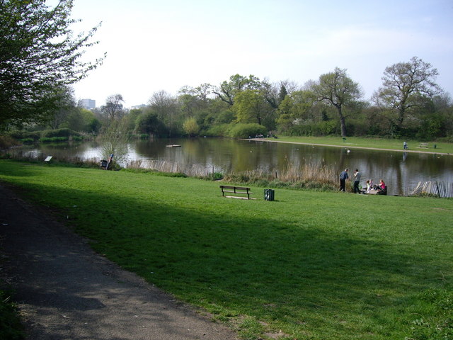
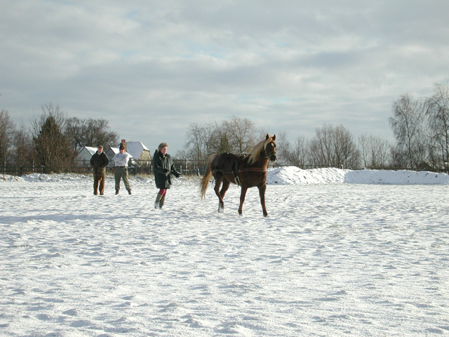
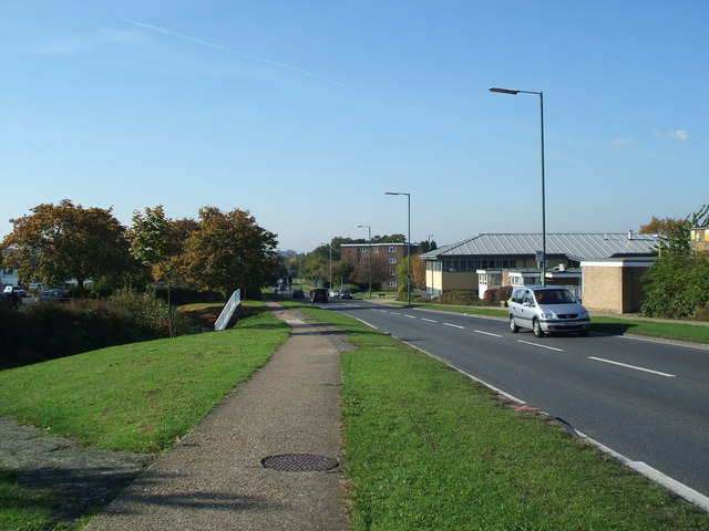
Perry Spring is a charming and picturesque village located in the county of Essex, England. Situated in the heart of the woodlands and forests of Essex, it offers visitors a serene and idyllic retreat from the hustle and bustle of modern life. The village is nestled among lush greenery, with towering trees and a tranquil stream flowing through it, adding to its natural beauty.
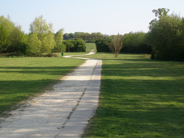
The village is known for its abundant wildlife, making it a haven for nature lovers and birdwatchers. The surrounding woodlands provide a perfect habitat for a variety of bird species, including woodpeckers, owls, and various songbirds. Visitors can enjoy peaceful walks along the well-maintained trails, listening to the soothing sounds of nature.
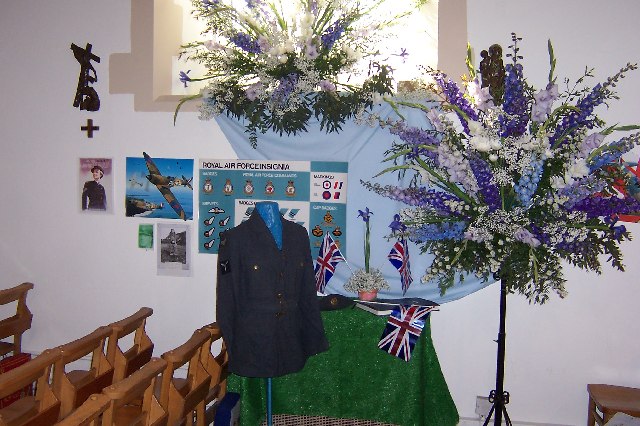
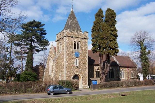
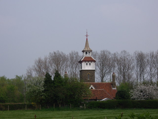
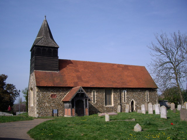
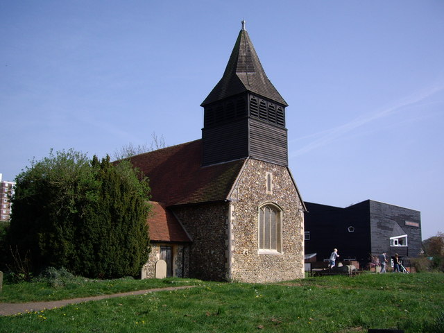
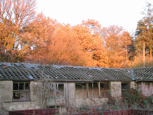
In addition to its natural attractions, Perry Spring boasts a rich history. The village is home to several historic buildings and landmarks, including a 14th-century church that stands as a testament to the area's past. Visitors can explore the church and marvel at its intricate architecture and stained glass windows.
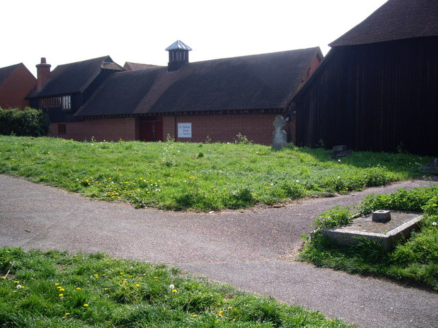
Despite its rural setting, Perry Spring offers modern amenities and conveniences to its residents and visitors. There are a handful of shops and restaurants in the village, providing essentials and local cuisine. The village also hosts various community events throughout the year, fostering a sense of community and a warm and welcoming atmosphere.
Perry Spring, Essex (Wood, Forest) truly embodies the beauty and tranquility of the English countryside, making it an ideal destination for those seeking a peaceful retreat and a connection with nature.
If you have any feedback on the listing, please let us know in the comments section below.
Perry Spring Images
Images are sourced within 2km of 51.767115/0.13397986 or Grid Reference TL4709. Thanks to Geograph Open Source API. All images are credited.

Perry Spring is located at Grid Ref: TL4709 (Lat: 51.767115, Lng: 0.13397986)
Administrative County: Essex
District: Harlow
Police Authority: Essex
What 3 Words
///broke.spent.notice. Near Old Harlow, Essex
Nearby Locations
Related Wikis

Church Langley
Church Langley is part of Harlow, Essex, England.Church Langley was built from 1992 and was originally named Brenthall Park, consisting of three developers...

Newhall, Essex
Newhall is a new housing estate within Harlow, Essex, England. In 2009, it was being built on land originally forming part of Soper Farm. A landowner led...

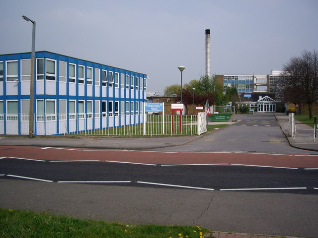
Brays Grove Community School
Brays Grove Community School was a mixed secondary school located within the town of Harlow in Essex, England. The school was closed in 2008 due to falling...

Passmores Academy
Passmores Academy is a 11-16 secondary school in Harlow, Essex.The academy has an annual intake of 240 pupils in Year 7, and approximately 1,000 pupils...
Mark Hall Academy
Mark Hall Academy, formerly Mark Hall Specialist Sport College, is a coeducational secondary school with academy status, located in Harlow, Essex, England...
Harlow
Harlow is a town and local government district located in the west of Essex, England. Founded as a new town, it is situated on the border with Hertfordshire...
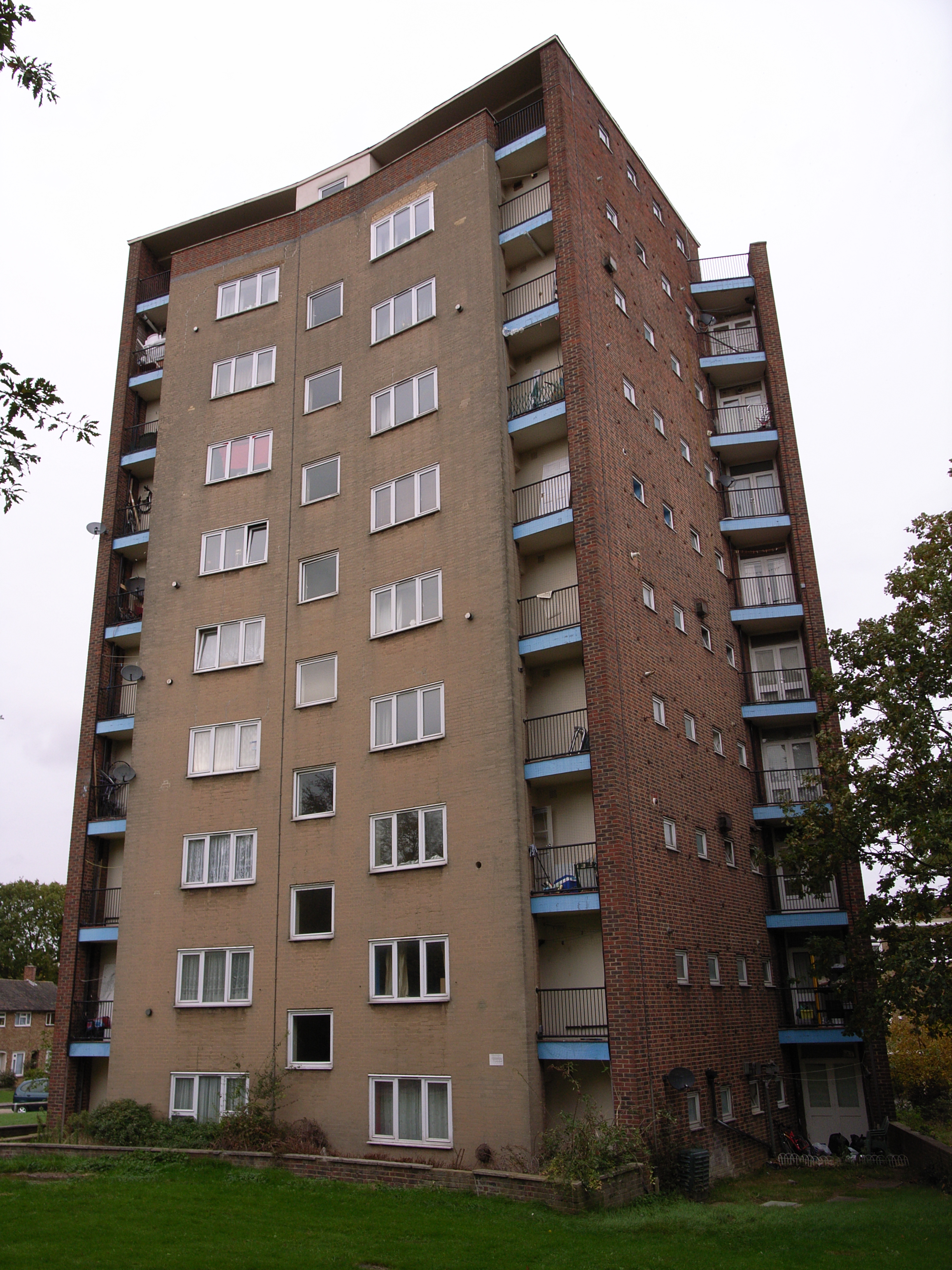
The Lawn (Harlow)
The Lawn is a mid-twentieth-century low-rise building located on the outskirts of Old Harlow, to the east of the town of Harlow, Essex, England. The building...
Foster Street
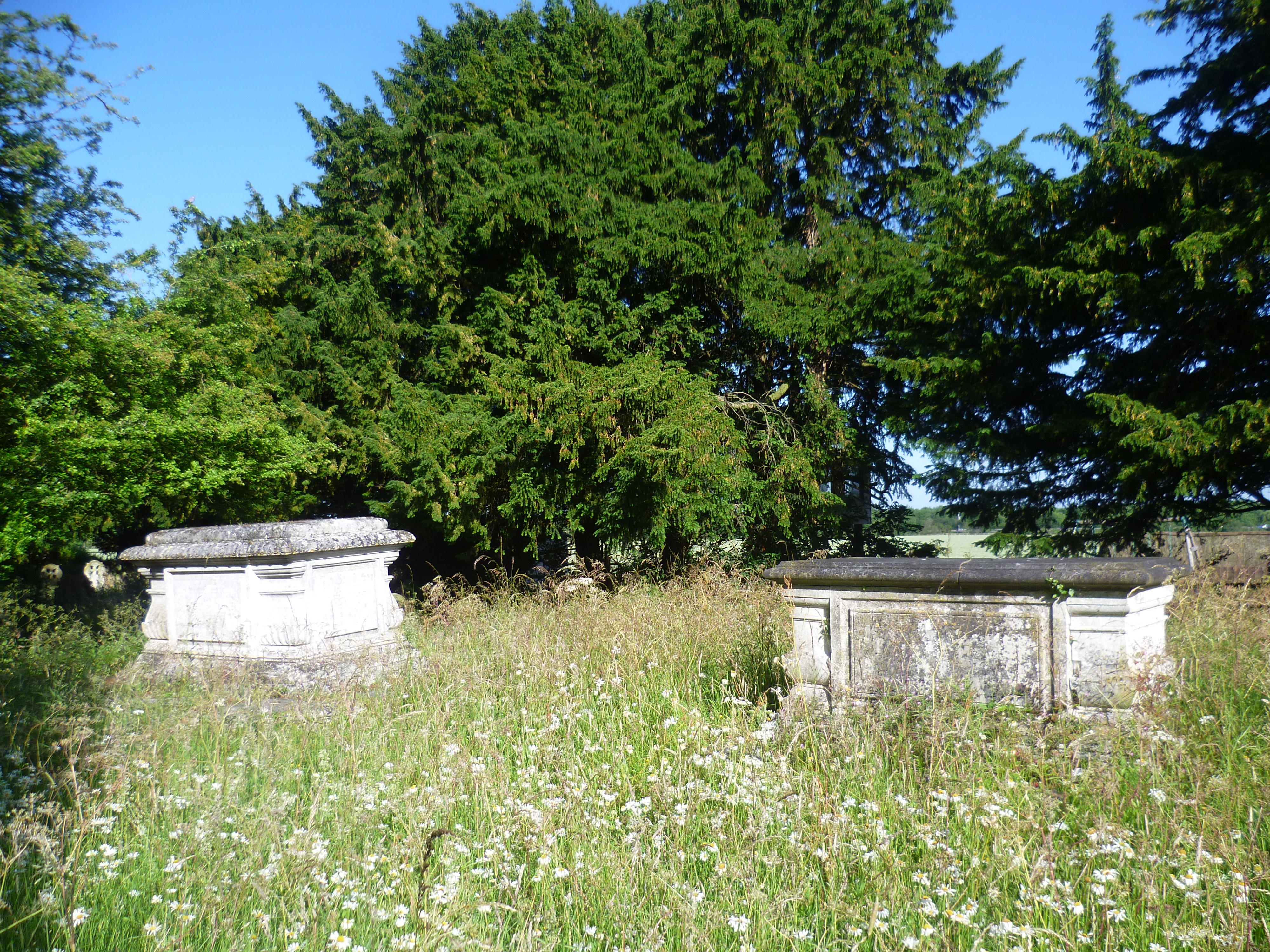
Foster Street is a hamlet in the North Weald Bassett civil parish of the Epping Forest district in the English county of Essex. A non-conformist burying...
Nearby Amenities
Located within 500m of 51.767115,0.13397986Have you been to Perry Spring?
Leave your review of Perry Spring below (or comments, questions and feedback).