Brenthall Wood
Wood, Forest in Essex Harlow
England
Brenthall Wood
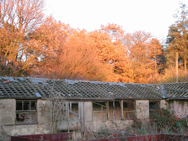
Brenthall Wood is a picturesque forest located in Essex, England. Covering an area of approximately 100 hectares, it is known for its abundant wildlife and stunning natural beauty. The wood is situated in the northern part of the county, near the village of Brenthall, and is easily accessible by road and public transportation.
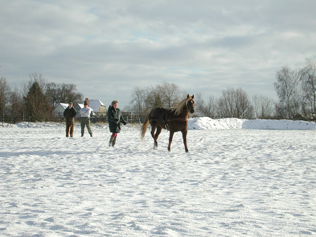
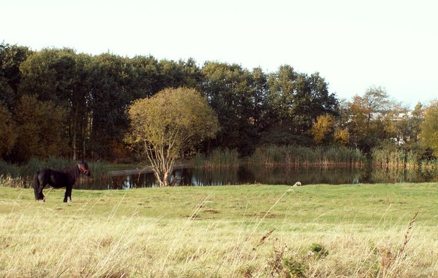
The woodland is predominantly made up of broadleaf trees such as oak, beech, and ash, creating a diverse and enchanting landscape. The dense foliage provides a haven for a wide range of fauna, including deer, foxes, rabbits, and a variety of bird species. Nature enthusiasts and wildlife photographers are drawn to the area to observe and capture the vibrant ecosystem.
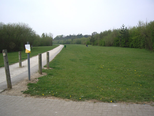
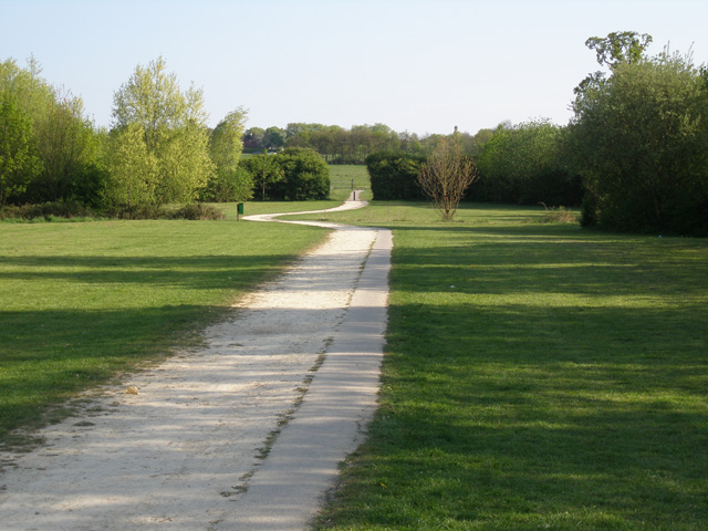
Visitors can explore the wood through a network of well-maintained footpaths and trails, allowing them to immerse themselves in the tranquility and serenity of the forest. The peaceful atmosphere and the sound of rustling leaves make it an ideal spot for walking, jogging, or simply enjoying a picnic amidst nature.
Brenthall Wood is also a popular destination for educational purposes, attracting school groups and nature organizations. It offers opportunities for outdoor learning, wildlife observation, and environmental studies, promoting a greater understanding and appreciation for the natural world.
The forest is managed by the local authorities, ensuring the preservation of its unique ecosystem and protecting it from any potential threats or disturbances. With its stunning landscapes and abundant wildlife, Brenthall Wood is truly a jewel of Essex and a haven for nature lovers.
If you have any feedback on the listing, please let us know in the comments section below.
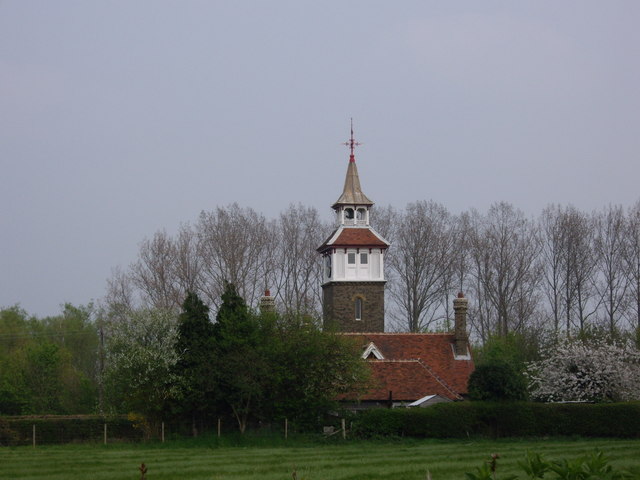
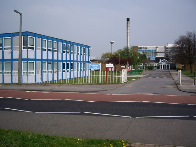
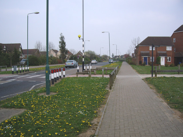
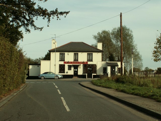
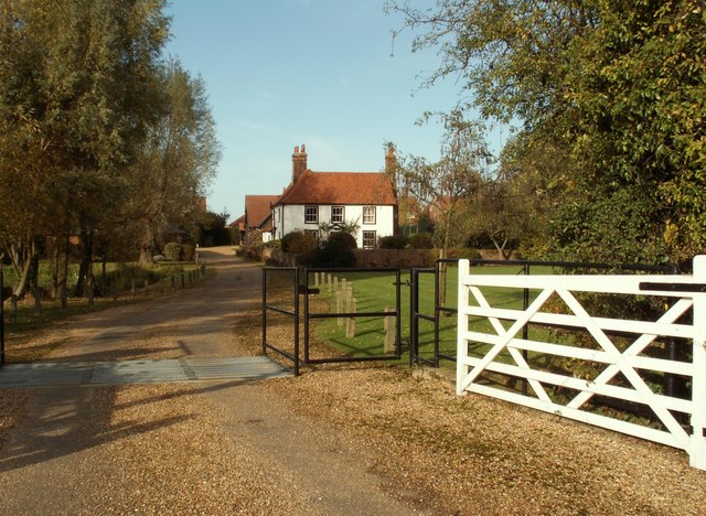
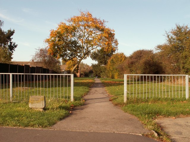
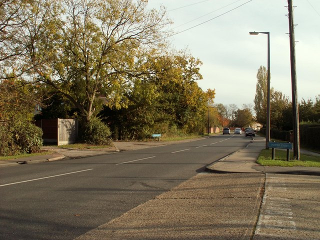
Brenthall Wood Images
Images are sourced within 2km of 51.769005/0.13931585 or Grid Reference TL4709. Thanks to Geograph Open Source API. All images are credited.

Brenthall Wood is located at Grid Ref: TL4709 (Lat: 51.769005, Lng: 0.13931585)
Administrative County: Essex
District: Harlow
Police Authority: Essex
What 3 Words
///humble.fakes.punch. Near Old Harlow, Essex
Nearby Locations
Related Wikis

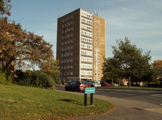
Church Langley
Church Langley is part of Harlow, Essex, England.Church Langley was built from 1992 and was originally named Brenthall Park, consisting of three developers...

Newhall, Essex
Newhall is a new housing estate within Harlow, Essex, England. In 2009, it was being built on land originally forming part of Soper Farm. A landowner led...
Mark Hall Academy
Mark Hall Academy, formerly Mark Hall Specialist Sport College, is a coeducational secondary school with academy status, located in Harlow, Essex, England...
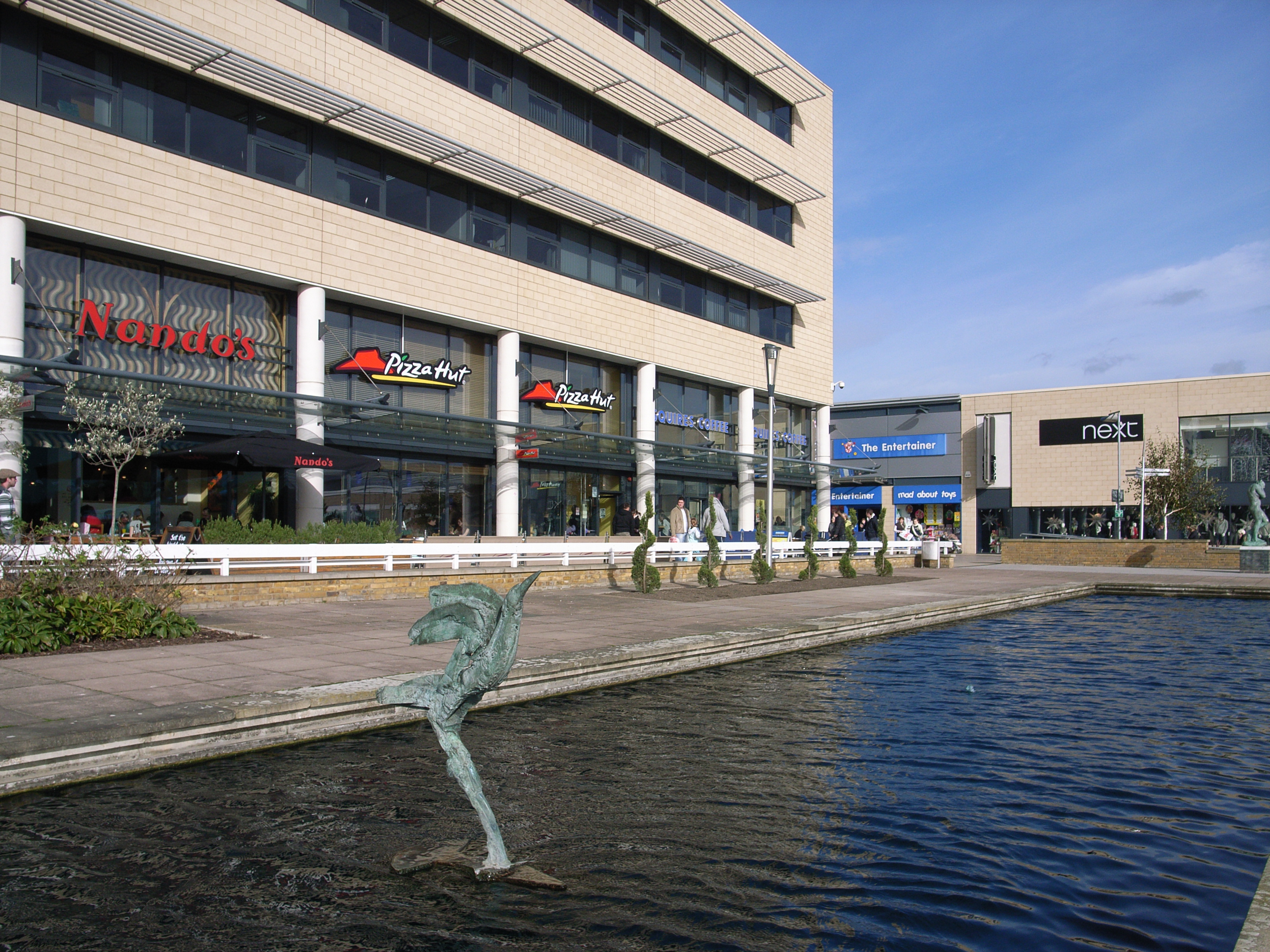
Harlow
Harlow is a town and local government district located in the west of Essex, England. Founded as a new town, it is situated on the border with Hertfordshire...

Saint Nicholas School, Essex
Saint Nicholas School is a co-educational independent day school in Old Harlow, Essex for children aged 2 1/2 to 16 years old. The current Headmaster is...
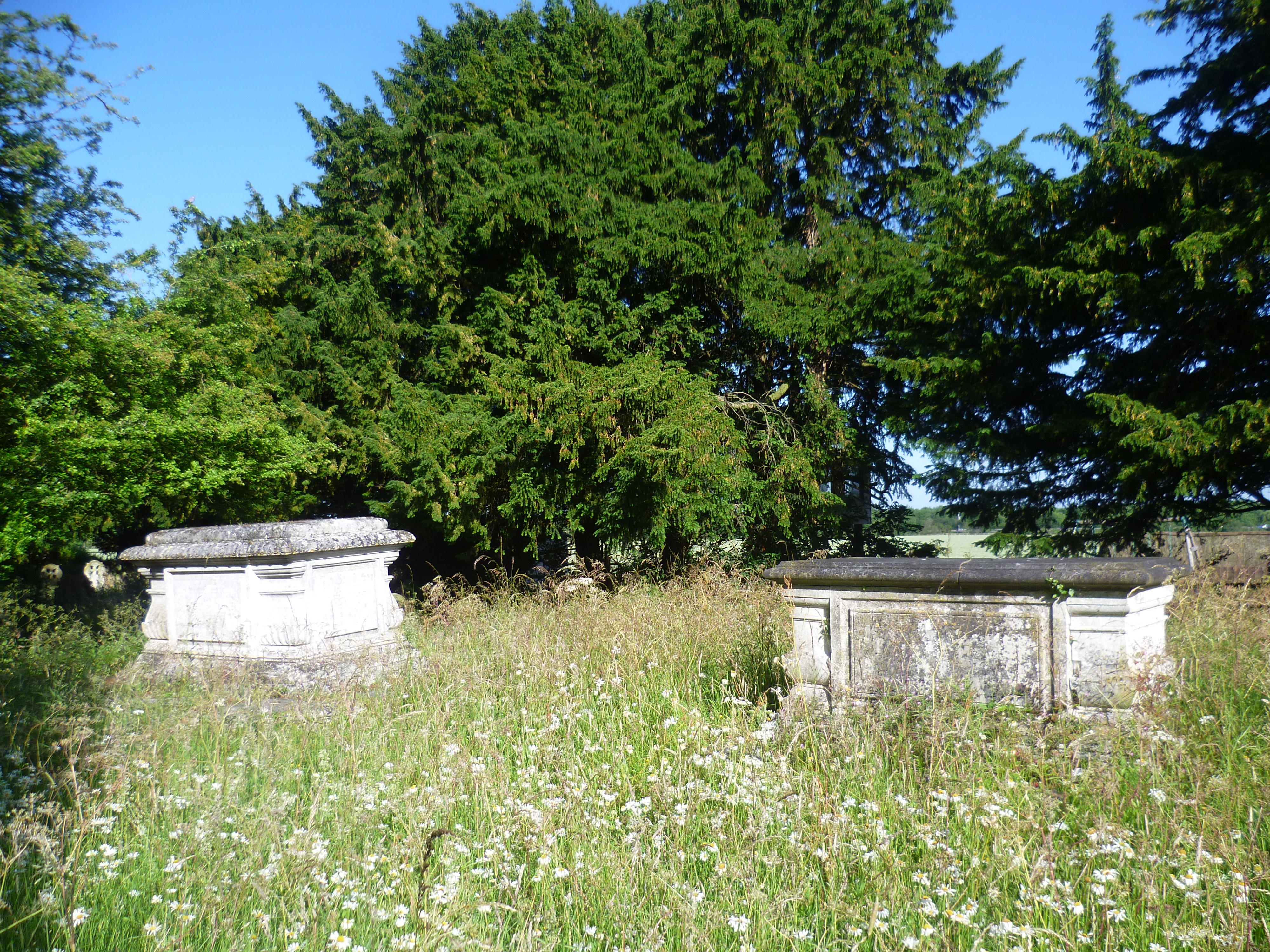
Foster Street
Foster Street is a hamlet in the North Weald Bassett civil parish of the Epping Forest district in the English county of Essex. A non-conformist burying...

Old Harlow
Old Harlow is the old town area of Harlow, in Essex, England. It was the historical town centre prior to Harlow being designated a new town in 1947 during...
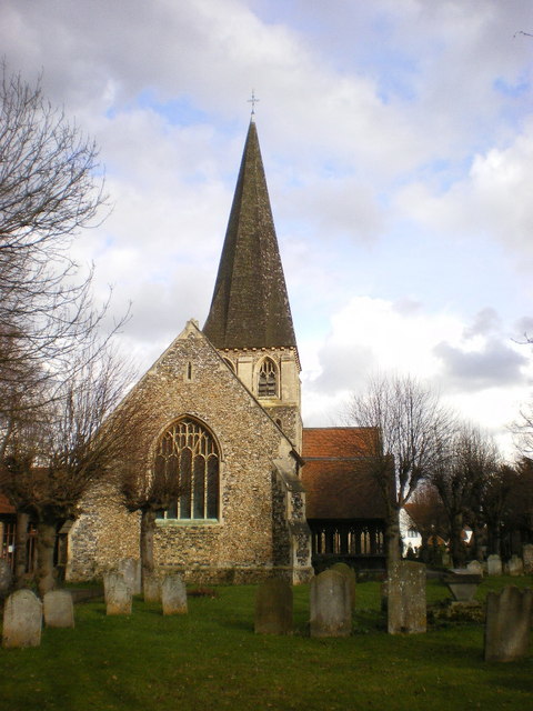
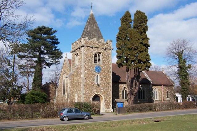
St Mary & St Hugh, Old Harlow
St Mary & St Hugh's Church is a Church of England parish church in Churchgate Street, Old Harlow in Essex, England. The church is of medieval origin and...
Related Videos

Walk from Harlow Tesco to Showroom #shorts
Walk from Harlow Tesco, East Road CM20 2TG to our Showroom On South Road CM20 2BZ TASK: Time-lapse a 5 min Walk from ...

Inside Holiday Inn Express Harlow Hotel Room (London Stansted Airport 20-min drive)
Inside Holiday Inn Express Harlow Room (London Stansted Airport 20-min drive) an IHG Hotel ❤️ Click LIKE & SUBSCRIBE to ...

Walking Up To Harlow Mill
In this walking video I'll be going up to Harlow Mill on foot and of course back again to Old Harlow.

St Clare Hospice - Walking in Memory 2023
On Sunday 17th September, a sea of blue was created across the Hastingwood countryside as families from across West Essex ...
Nearby Amenities
Located within 500m of 51.769005,0.13931585Have you been to Brenthall Wood?
Leave your review of Brenthall Wood below (or comments, questions and feedback).