Phillippines Shaw

Wood, Forest in Kent Sevenoaks

England

Phillippines Shaw

Emmetts The House at Emmetts is private, but the gardens are National Trust.  Towards East of gridsquare.
Emmetts Credit: Chris Shaw

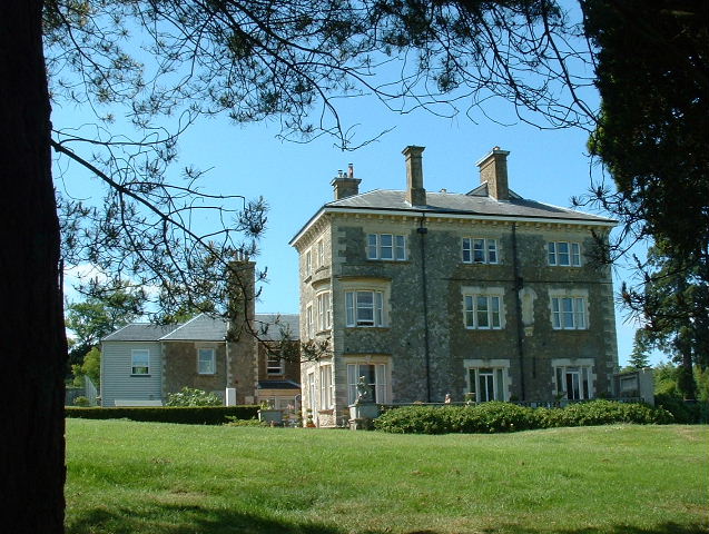
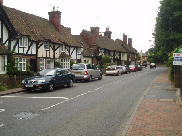
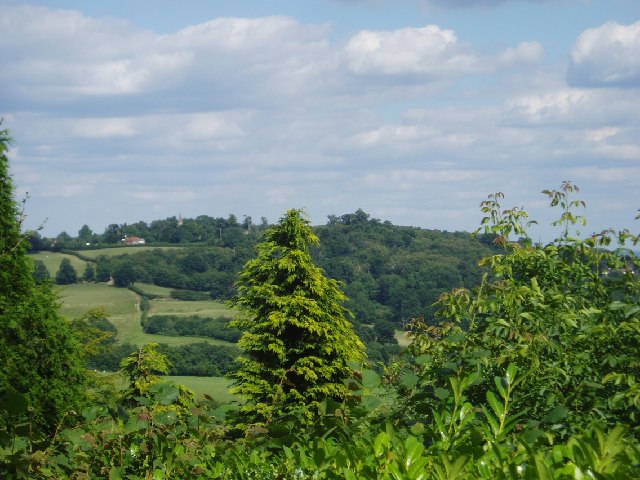
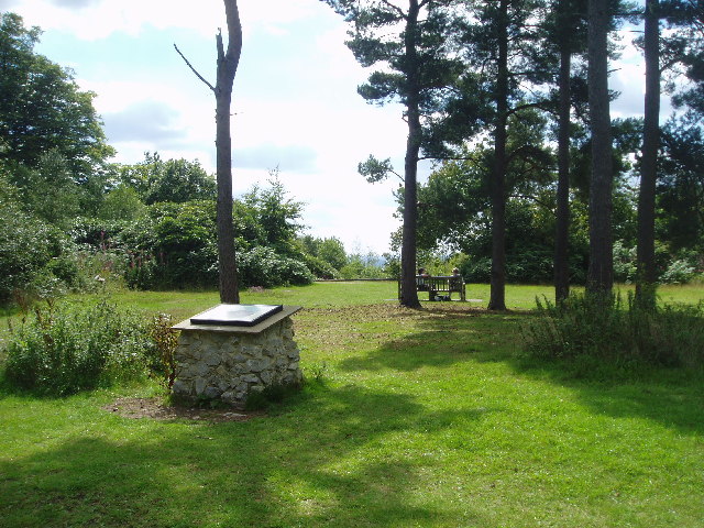
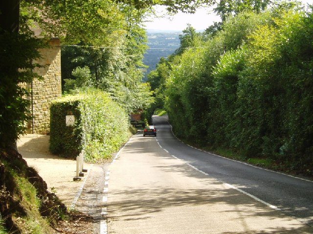
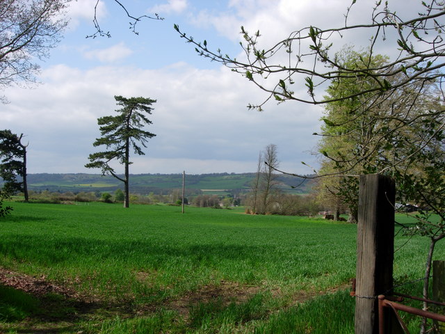
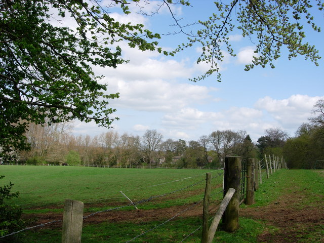
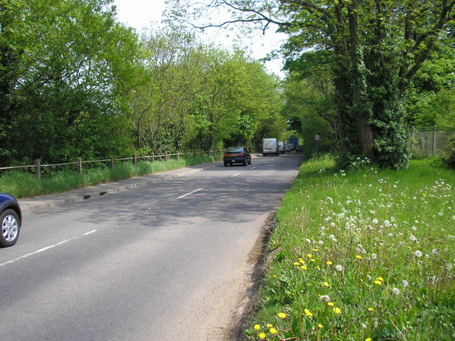
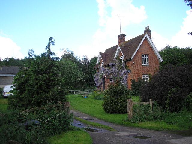
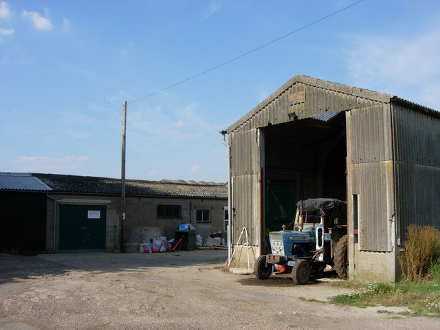
Philippines Shaw is a small village located in the district of Kent, England. Situated within the beautiful landscape of the Wealden Forest, it is surrounded by lush greenery and natural beauty. The village is part of the larger town of Cranbrook and is known for its peaceful and idyllic setting.

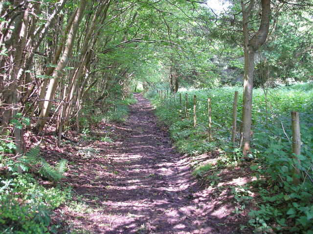
The name "Philippines Shaw" is believed to originate from the Old English word "sceaga," meaning forest or woodland. This is fitting, as the village is indeed nestled within a wooded area, providing a serene atmosphere for residents and visitors alike.

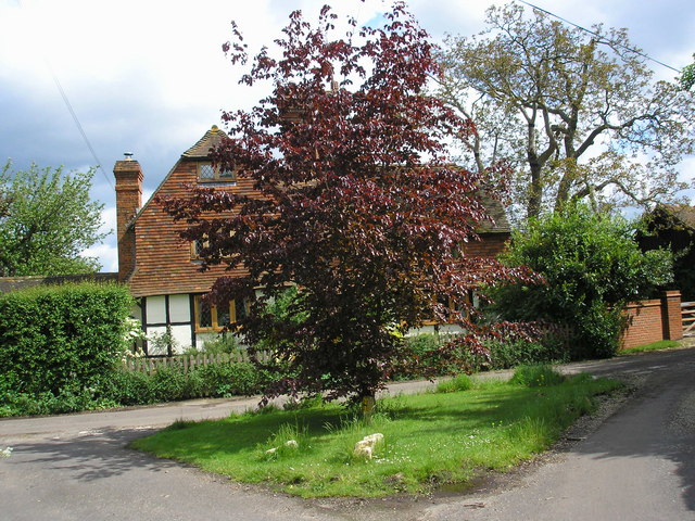
Despite its small size, Philippines Shaw boasts a close-knit community that takes pride in its rural heritage. The village promotes a sense of belonging and community spirit through various events and activities, such as local fairs and gatherings. The residents often come together to celebrate their shared history and traditions.

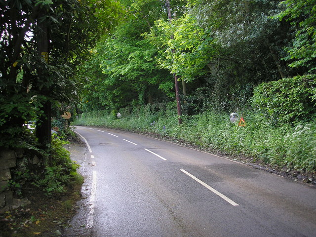
The surrounding Wealden Forest offers numerous opportunities for outdoor activities and exploration. Nature enthusiasts can enjoy leisurely walks through the woods, bird-watching, and even horse riding. The forest also provides a habitat for a variety of wildlife species, making it a haven for nature lovers.

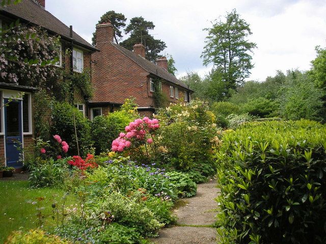
In terms of amenities, Philippines Shaw is served by nearby towns and villages, where residents can find essential services such as schools, healthcare facilities, and shops. The village itself maintains a peaceful ambiance, with quaint cottages and well-kept gardens adding to its charm.

Overall, Philippines Shaw, Kent is a picturesque village that embodies the natural beauty and community spirit of the English countryside.

If you have any feedback on the listing, please let us know in the comments section below.

Phillippines Shaw Images

Images are sourced within 2km of 51.25845/0.11032304 or Grid Reference TQ4753. Thanks to Geograph Open Source API. All images are credited.

Emmetts The House at Emmetts is private, but the gardens are National Trust.  Towards East of gridsquare.
Emmetts
The House at Emmetts is private, but the gardens are National Trust. Towards East of gridsquare.
Brasted High Street on the A25 Picture taken from close to the village hall, this village was 'saved' by the building of the M25 nearby.
Brasted High Street on the A25
Picture taken from close to the village hall, this village was 'saved' by the building of the M25 nearby.
Toys Hill signs On the corner of Puddledock Lane and Toys Hill Lane and close to several footpaths
Toys Hill signs
On the corner of Puddledock Lane and Toys Hill Lane and close to several footpaths
Looking towards Ide Hill From Toys Hill you can get some views to the East towards Ide Hill. The spire of Ide Hill church is just visible.
Looking towards Ide Hill
From Toys Hill you can get some views to the East towards Ide Hill. The spire of Ide Hill church is just visible.
Toys Hill - site of Weardale Manor At the top of Toys Hill was sited a very grand house built in 1906 for Lord and Lady Weardale and used by them as their summer home. It had commanding views but sadly fell into neglect and was bequeathed to the National Trust and the land flattened. There are a number of footpaths around this spot. Unfortunately the beautiful views are mainly hidden due to the trees and vegetation.
Toys Hill - site of Weardale Manor
At the top of Toys Hill was sited a very grand house built in 1906 for Lord and Lady Weardale and used by them as their summer home. It had commanding views but sadly fell into neglect and was bequeathed to the National Trust and the land flattened. There are a number of footpaths around this spot. Unfortunately the beautiful views are mainly hidden due to the trees and vegetation.
Toys Hill - the road south towards Four Elms The overhanging trees make an arch
Toys Hill - the road south towards Four Elms
The overhanging trees make an arch
St Mary's Church Ide Hill The church was built in 1865 and has the distinction of being the highest church in Kent.
St Mary's Church Ide Hill
The church was built in 1865 and has the distinction of being the highest church in Kent.
Farmland looking towards M25 and North Downs Over the fields is Brasted village on the busy A25 with the equally busy and noisy M25 motorway beyond that, with the North downs in the distance.
Farmland looking towards M25 and North Downs
Over the fields is Brasted village on the busy A25 with the equally busy and noisy M25 motorway beyond that, with the North downs in the distance.
Birchfield Farmland This photograph was taken from New Road that runs from Ide Hill to Brasted and is looking across towards Sundridge.
Birchfield Farmland
This photograph was taken from New Road that runs from Ide Hill to Brasted and is looking across towards Sundridge.
A25 near Brasted Sand Pits, Kent The opening of the parallel M25 did not mean that the A25 became some quiet backwater.  It still carries a great deal of traffic and can become congested, threading its way as it does through Westerham, Brasted and Sundridge.  This eastward looking view was taken from the entrance to Brasted Sand Pits.
A25 near Brasted Sand Pits, Kent
The opening of the parallel M25 did not mean that the A25 became some quiet backwater. It still carries a great deal of traffic and can become congested, threading its way as it does through Westerham, Brasted and Sundridge. This eastward looking view was taken from the entrance to Brasted Sand Pits.
Little Norman Street Farmhouse I am indebted to Jean Barrow of Ide Hill for supplying the name of this attractive house on the north side of Penn Lane about half a mile west of Brook Street, near Sevenoaks, Kent
Little Norman Street Farmhouse
I am indebted to Jean Barrow of Ide Hill for supplying the name of this attractive house on the north side of Penn Lane about half a mile west of Brook Street, near Sevenoaks, Kent
A muddy bridleway It occurred to me as I took this photograph to wonder if anyone goes out taking geographs on horseback?  Some use a car, others, especially in urban areas, use public transport.  A motor cycle or bicycle is useful.  But on this extremely muddy bridleway, which runs westwards from New Road, Sundridge, Kent, a horse would have been the best of all.
A muddy bridleway
It occurred to me as I took this photograph to wonder if anyone goes out taking geographs on horseback? Some use a car, others, especially in urban areas, use public transport. A motor cycle or bicycle is useful. But on this extremely muddy bridleway, which runs westwards from New Road, Sundridge, Kent, a horse would have been the best of all.
Penn Farm, Penn Lane, near Sevenoaks, Kent The substantial farm house shown here stands on the west side of Penn Lane, whereas most of the farm buildings are on the other side of the lane, behind the photographer.
Penn Farm, Penn Lane, near Sevenoaks, Kent
The substantial farm house shown here stands on the west side of Penn Lane, whereas most of the farm buildings are on the other side of the lane, behind the photographer.
Road mirrors, Brasted Chart, Kent Several of the large houses on the east side of Chart Lane have positioned mirrors opposite the exits from their drives, in order to be able to see properly if it is safe to drive their cars out onto the lane. Some three of these mirrors are to be seen in this photograph.
Road mirrors, Brasted Chart, Kent
Several of the large houses on the east side of Chart Lane have positioned mirrors opposite the exits from their drives, in order to be able to see properly if it is safe to drive their cars out onto the lane. Some three of these mirrors are to be seen in this photograph.
Semi-detached houses, Pipers Green Road, Brasted Chart, Kent Pipers Green Road runs westward for about 350 yards from its junction with Chart Lane as a metalled lane, where it meets Pipers Lane at right angles. This then runs as an unmetalled BOAT, northward and finally north-east to rejoin Chart Lane almost a mile from the end of Pipers Green Road.
These semis occupy an enviable position on Pipers Green Road, and have well-tended cottage gardens.
Semi-detached houses, Pipers Green Road, Brasted Chart, Kent
Pipers Green Road runs westward for about 350 yards from its junction with Chart Lane as a metalled lane, where it meets Pipers Lane at right angles. This then runs as an unmetalled BOAT, northward and finally north-east to rejoin Chart Lane almost a mile from the end of Pipers Green Road. These semis occupy an enviable position on Pipers Green Road, and have well-tended cottage gardens.
Birchwood apartments -Sundridge Originally built as a Poor Law Institution and later a hospital for people unable to look after themselves.  Today there are about 27 apartments plus individual housing.
Birchwood apartments -Sundridge
Originally built as a Poor Law Institution and later a hospital for people unable to look after themselves. Today there are about 27 apartments plus individual housing.
Farm buildings at Penn Farm - Ide Hill These farm buildings are on the other side of a very narrow road opposite Penn Farmhouse. The name "Penn" derives from the Old English Pynd, meaning an enclosure.
Farm buildings at Penn Farm - Ide Hill
These farm buildings are on the other side of a very narrow road opposite Penn Farmhouse. The name "Penn" derives from the Old English Pynd, meaning an enclosure.
Penn Farmhouse gate - Ide Hill An interesting notice on a farmhouse gate.
Penn Farmhouse gate - Ide Hill
An interesting notice on a farmhouse gate.
Show me another place!

Phillippines Shaw is located at Grid Ref: TQ4753 (Lat: 51.25845, Lng: 0.11032304)

Administrative County: Kent

District: Sevenoaks

Police Authority: Kent

What 3 Words

///trades.fails.kicked. Near Sundridge, Kent
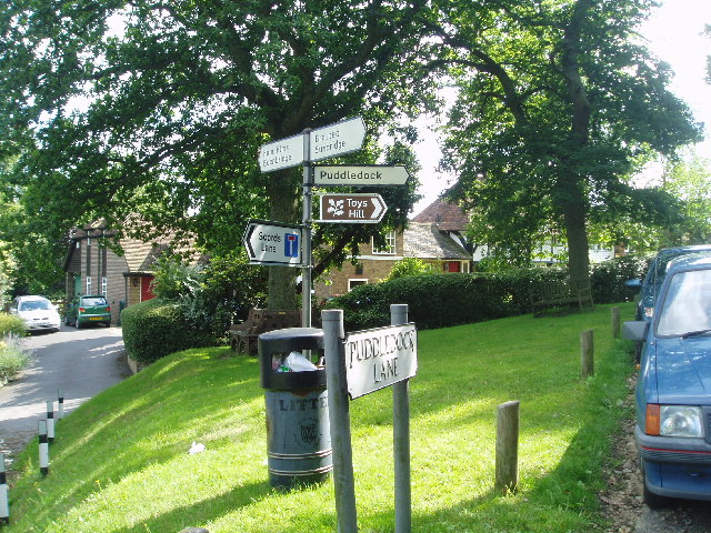
Related Wikis

Emmetts Garden

Emmetts Garden is an Edwardian estate located at Ide Hill, near Sevenoaks in Kent, UK. It is now owned by the National Trust for Places of Historic Interest...

Scord's Wood and Brockhoult Mount

Scord's Wood and Brockhoult Mount is a 252.3-hectare (623-acre) biological Site of Special Scientific Interest west of Sevenoaks in Kent. Scord's Wood...

Ide Hill

Ide Hill is a village within the civil parish of Sundridge with Ide Hill, in the Sevenoaks District of Kent, England. It stands on one of the highest...

Westerham Mines

Westerham Mines is a 25.4-hectare (63-acre) biological Site of Special Scientific Interest south of Westerham in Kent.The main interest of this site lies...

Sundridge, Kent

Sundridge is a village within the civil parish of Sundridge with Ide Hill, in the Sevenoaks district of Kent, England. The village is located on the A25...

Brasted

Brasted is a village and civil parish in the Sevenoaks District of Kent, England. Brasted lies on the A25 road, between Sundridge and Westerham; the road...

Toys Hill

Toys Hill is a hamlet which lies within Brasted civil parish in the Sevenoaks district of Kent, England. It lies to the south of Brasted Chart, also in...

R. Durtnell & Sons

R. Durtnell & Sons was an English building company established in 1591 that had been continuously in the same family in Brasted, in the English county...

Nearby Amenities

Located within 500m of 51.25845,0.11032304
Fixme: Continues NNE #surveyme
Lat/Long: 51.2545498/0.1069556
The data included in this document is from www.openstreetmap.org. The data is made available under ODbL.

Have you been to Phillippines Shaw?

Leave your review of Phillippines Shaw below (or comments, questions and feedback).