Great Wood

Wood, Forest in Kent Sevenoaks

England

Great Wood

Emmetts The House at Emmetts is private, but the gardens are National Trust.  Towards East of gridsquare.
Emmetts Credit: Chris Shaw

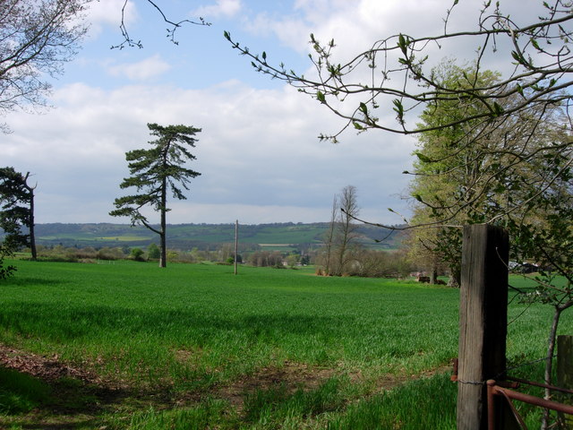
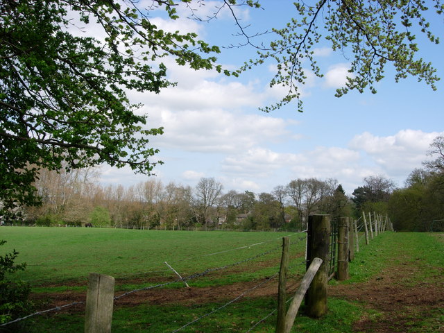
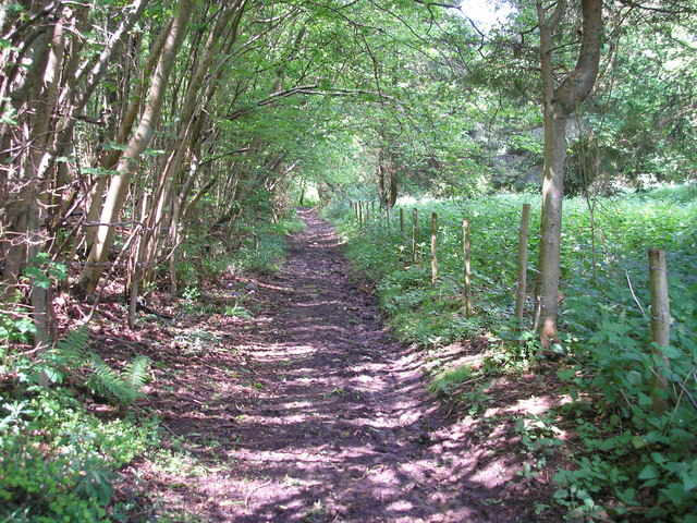
Great Wood, located in Kent, is a sprawling forest that covers an expansive area of approximately 1,500 hectares. Nestled in the southeastern region of England, this wood is renowned for its natural beauty and rich biodiversity. It is part of the larger High Weald Area of Outstanding Natural Beauty, which further enhances its significance.

The wood is primarily composed of mixed broadleaf trees, including oak, beech, ash, and birch, creating a diverse and vibrant landscape. The dense canopy provides a haven for a wide array of wildlife, including deer, badgers, foxes, and a plethora of bird species. Additionally, the forest floor is adorned with a variety of wildflowers and ferns, adding to its enchanting allure.

Great Wood offers a multitude of recreational opportunities for visitors. There are well-maintained walking trails that wind through the forest, allowing visitors to immerse themselves in the serenity and tranquility of nature. The wood also boasts several picnic areas, where families and friends can enjoy a leisurely lunch amidst the lush surroundings.

For those seeking a more adventurous experience, Great Wood provides opportunities for cycling, horseback riding, and wildlife spotting. The forest is equipped with designated trails suitable for these activities, ensuring a safe and enjoyable experience for all.

Great Wood, with its picturesque scenery and abundant wildlife, is a cherished natural gem in the heart of Kent. Whether one wishes to explore its trails, engage in outdoor activities, or simply revel in its serene ambiance, this forest offers an idyllic retreat for nature enthusiasts and visitors alike.

If you have any feedback on the listing, please let us know in the comments section below.
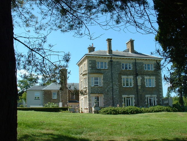
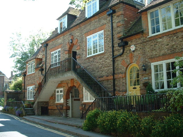
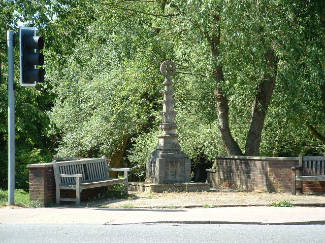
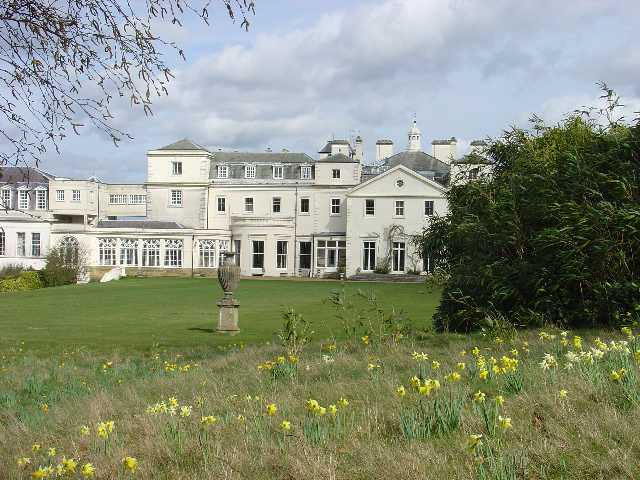
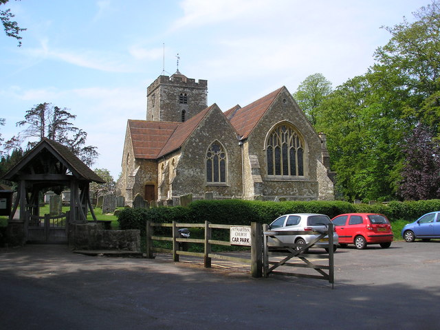
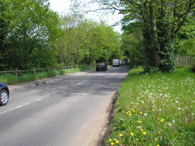
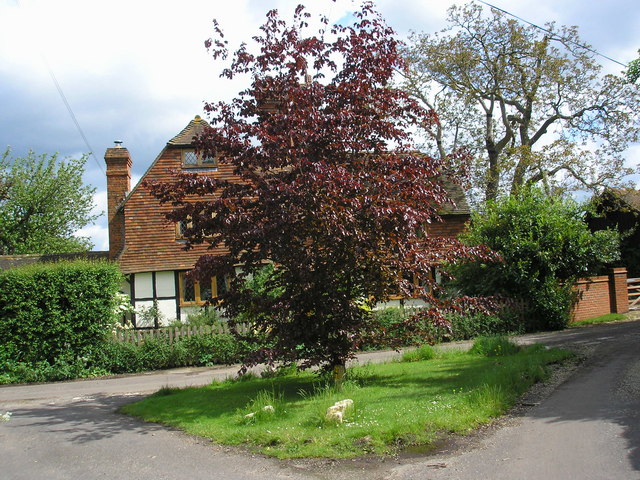
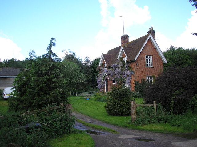
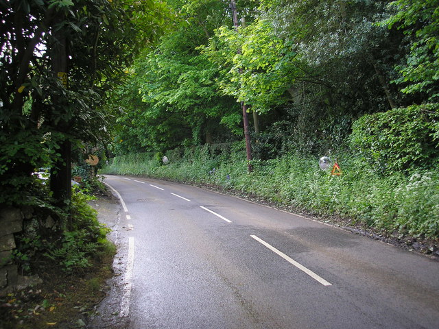
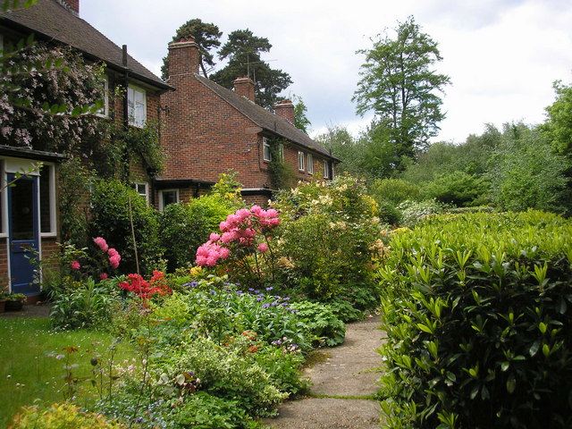
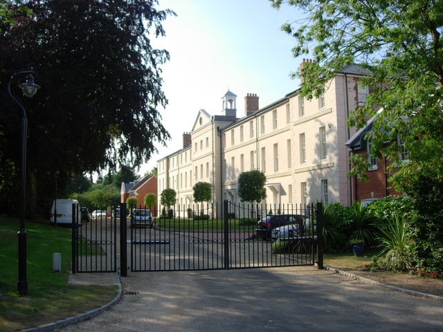
Great Wood Images

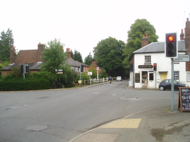
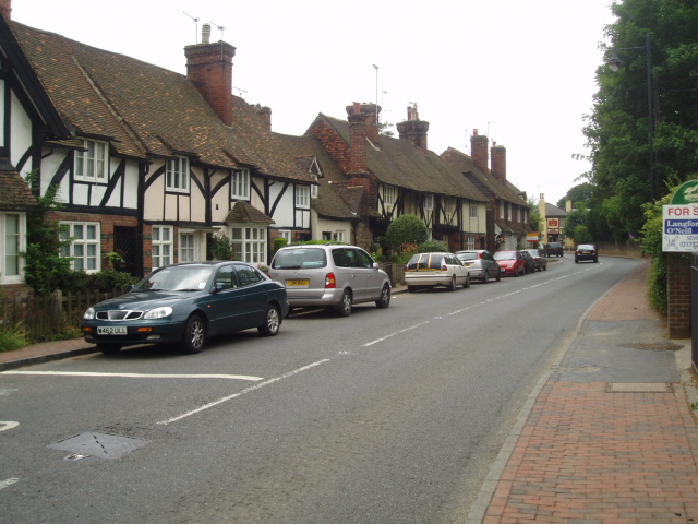
Images are sourced within 2km of 51.264591/0.11338525 or Grid Reference TQ4753. Thanks to Geograph Open Source API. All images are credited.

Emmetts The House at Emmetts is private, but the gardens are National Trust.  Towards East of gridsquare.
Emmetts
The House at Emmetts is private, but the gardens are National Trust. Towards East of gridsquare.
Mond Court this interesting building at Sundridge is dated 1913 and located just South of the A25 on the Ide Hill road.
Mond Court
this interesting building at Sundridge is dated 1913 and located just South of the A25 on the Ide Hill road.
Sundridge Memorial At crossroads on A25.
Sundridge Memorial
At crossroads on A25.
Combe Bank School, Sundridge Combe Bank is a fine Palladian house built in 1720. The buildings are now used as an independent girls school. Details of the school and estate can be found at: <span class="nowrap"><a title="http://www.combebank.kent.sch.uk" rel="nofollow ugc noopener" href="http://www.combebank.kent.sch.uk">Link</a><img style="margin-left:2px;" alt="External link" title="External link - shift click to open in new window" src="https://s1.geograph.org.uk/img/external.png" width="10" height="10"/></span>
Combe Bank School, Sundridge
Combe Bank is a fine Palladian house built in 1720. The buildings are now used as an independent girls school. Details of the school and estate can be found at: LinkExternal link
Cross roads on the A25 at Sundridge A familiar view for those driving along the A25 towards Sevenoaks
Cross roads on the A25 at Sundridge
A familiar view for those driving along the A25 towards Sevenoaks
Brasted High Street on the A25 Picture taken from close to the village hall, this village was 'saved' by the building of the M25 nearby.
Brasted High Street on the A25
Picture taken from close to the village hall, this village was 'saved' by the building of the M25 nearby.
Farmland looking towards M25 and North Downs Over the fields is Brasted village on the busy A25 with the equally busy and noisy M25 motorway beyond that, with the North downs in the distance.
Farmland looking towards M25 and North Downs
Over the fields is Brasted village on the busy A25 with the equally busy and noisy M25 motorway beyond that, with the North downs in the distance.
Birchfield Farmland This photograph was taken from New Road that runs from Ide Hill to Brasted and is looking across towards Sundridge.
Birchfield Farmland
This photograph was taken from New Road that runs from Ide Hill to Brasted and is looking across towards Sundridge.
St. Martin's Church, Brasted, Kent This fine parish church is built mainly of the local Kentish ragstone. It occupies a secluded site on the northern edge of the village - and there is even a quiet pub. (the Stanhope Arms) adjoining.
St. Martin's Church, Brasted, Kent
This fine parish church is built mainly of the local Kentish ragstone. It occupies a secluded site on the northern edge of the village - and there is even a quiet pub. (the Stanhope Arms) adjoining.
A25 near Brasted Sand Pits, Kent The opening of the parallel M25 did not mean that the A25 became some quiet backwater.  It still carries a great deal of traffic and can become congested, threading its way as it does through Westerham, Brasted and Sundridge.  This eastward looking view was taken from the entrance to Brasted Sand Pits.
A25 near Brasted Sand Pits, Kent
The opening of the parallel M25 did not mean that the A25 became some quiet backwater. It still carries a great deal of traffic and can become congested, threading its way as it does through Westerham, Brasted and Sundridge. This eastward looking view was taken from the entrance to Brasted Sand Pits.
Lodge, Valence School, Westerham, Kent Valence School is set in beautiful parkland to the south of the A25 near Westerham.  Here just a small part of the school grounds and lodge can be seen.
Lodge, Valence School, Westerham, Kent
Valence School is set in beautiful parkland to the south of the A25 near Westerham. Here just a small part of the school grounds and lodge can be seen.
Little Norman Street Farmhouse I am indebted to Jean Barrow of Ide Hill for supplying the name of this attractive house on the north side of Penn Lane about half a mile west of Brook Street, near Sevenoaks, Kent
Little Norman Street Farmhouse
I am indebted to Jean Barrow of Ide Hill for supplying the name of this attractive house on the north side of Penn Lane about half a mile west of Brook Street, near Sevenoaks, Kent
A muddy bridleway It occurred to me as I took this photograph to wonder if anyone goes out taking geographs on horseback?  Some use a car, others, especially in urban areas, use public transport.  A motor cycle or bicycle is useful.  But on this extremely muddy bridleway, which runs westwards from New Road, Sundridge, Kent, a horse would have been the best of all.
A muddy bridleway
It occurred to me as I took this photograph to wonder if anyone goes out taking geographs on horseback? Some use a car, others, especially in urban areas, use public transport. A motor cycle or bicycle is useful. But on this extremely muddy bridleway, which runs westwards from New Road, Sundridge, Kent, a horse would have been the best of all.
Penn Farm, Penn Lane, near Sevenoaks, Kent The substantial farm house shown here stands on the west side of Penn Lane, whereas most of the farm buildings are on the other side of the lane, behind the photographer.
Penn Farm, Penn Lane, near Sevenoaks, Kent
The substantial farm house shown here stands on the west side of Penn Lane, whereas most of the farm buildings are on the other side of the lane, behind the photographer.
Road mirrors, Brasted Chart, Kent Several of the large houses on the east side of Chart Lane have positioned mirrors opposite the exits from their drives, in order to be able to see properly if it is safe to drive their cars out onto the lane. Some three of these mirrors are to be seen in this photograph.
Road mirrors, Brasted Chart, Kent
Several of the large houses on the east side of Chart Lane have positioned mirrors opposite the exits from their drives, in order to be able to see properly if it is safe to drive their cars out onto the lane. Some three of these mirrors are to be seen in this photograph.
Semi-detached houses, Pipers Green Road, Brasted Chart, Kent Pipers Green Road runs westward for about 350 yards from its junction with Chart Lane as a metalled lane, where it meets Pipers Lane at right angles. This then runs as an unmetalled BOAT, northward and finally north-east to rejoin Chart Lane almost a mile from the end of Pipers Green Road.
These semis occupy an enviable position on Pipers Green Road, and have well-tended cottage gardens.
Semi-detached houses, Pipers Green Road, Brasted Chart, Kent
Pipers Green Road runs westward for about 350 yards from its junction with Chart Lane as a metalled lane, where it meets Pipers Lane at right angles. This then runs as an unmetalled BOAT, northward and finally north-east to rejoin Chart Lane almost a mile from the end of Pipers Green Road. These semis occupy an enviable position on Pipers Green Road, and have well-tended cottage gardens.
Birchwood apartments -Sundridge Originally built as a Poor Law Institution and later a hospital for people unable to look after themselves.  Today there are about 27 apartments plus individual housing.
Birchwood apartments -Sundridge
Originally built as a Poor Law Institution and later a hospital for people unable to look after themselves. Today there are about 27 apartments plus individual housing.
Farm buildings at Penn Farm - Ide Hill These farm buildings are on the other side of a very narrow road opposite Penn Farmhouse. The name "Penn" derives from the Old English Pynd, meaning an enclosure.
Farm buildings at Penn Farm - Ide Hill
These farm buildings are on the other side of a very narrow road opposite Penn Farmhouse. The name "Penn" derives from the Old English Pynd, meaning an enclosure.
Show me another place!

Great Wood is located at Grid Ref: TQ4753 (Lat: 51.264591, Lng: 0.11338525)

Administrative County: Kent

District: Sevenoaks

Police Authority: Kent

What 3 Words

///garage.myself.smile. Near Sundridge, Kent

Related Wikis

Brasted

Brasted is a village and civil parish in the Sevenoaks District of Kent, England. Brasted lies on the A25 road, between Sundridge and Westerham; the road...

Sundridge, Kent

Sundridge is a village within the civil parish of Sundridge with Ide Hill, in the Sevenoaks district of Kent, England. The village is located on the A25...

R. Durtnell & Sons

R. Durtnell & Sons was an English building company established in 1591 that had been continuously in the same family in Brasted, in the English county...

Emmetts Garden

Emmetts Garden is an Edwardian estate located at Ide Hill, near Sevenoaks in Kent, UK. It is now owned by the National Trust for Places of Historic Interest...

Scord's Wood and Brockhoult Mount

Scord's Wood and Brockhoult Mount is a 252.3-hectare (623-acre) biological Site of Special Scientific Interest west of Sevenoaks in Kent. Scord's Wood...

Bessels Green

Bessels Green is a village now incorporated into the built-up area of Sevenoaks in Kent, England. It is on the north-western outskirts of Sevenoaks, in...

Radnor House Sevenoaks School

Radnor House Sevenoaks School (formerly Combe Bank School) is a coeducational private day school located in Sundridge (near Sevenoaks) in the English county...

Brasted railway station

Brasted is a disused intermediate railway station in Brasted, Kent on the closed Westerham Valley branch line. The station closed in 1961 and the site...

Have you been to Great Wood?

Leave your review of Great Wood below (or comments, questions and feedback).