Combe Wood
Wood, Forest in Kent Sevenoaks
England
Combe Wood
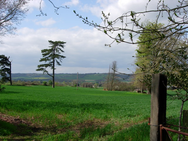
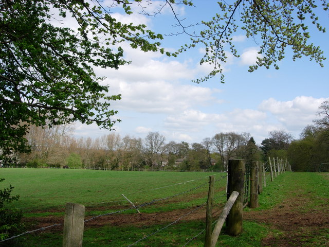
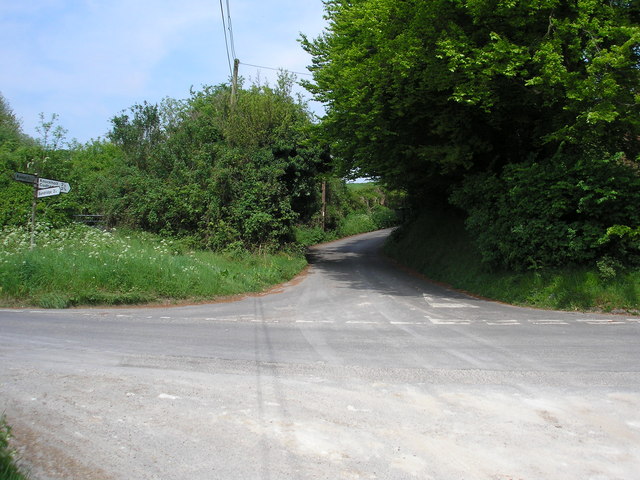
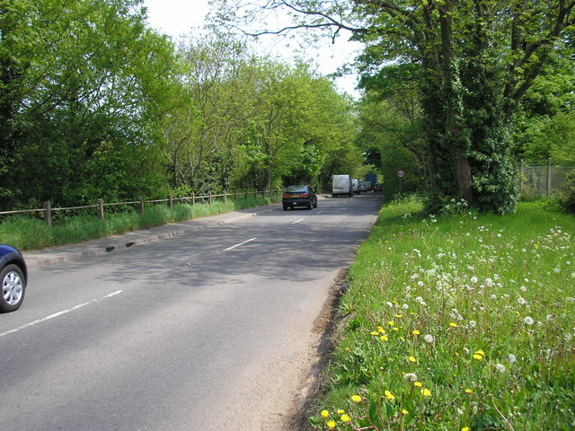
Combe Wood, located in Kent, England, is a beautiful and enchanting woodland area that spans approximately 115 hectares. It is situated near the village of Goudhurst and is part of the High Weald Area of Outstanding Natural Beauty. Combe Wood is known for its diverse and rich ecosystem, boasting a wide array of flora and fauna.
The wood features a mix of broadleaf trees, including oak, beech, and chestnut, which provide a stunning display of colors during autumn. The dense canopy formed by these trees creates a serene and shaded environment, perfect for leisurely walks and exploration. In addition to the tall trees, Combe Wood is also home to various shrubs, ferns, and wildflowers that thrive in the understory.
This woodland area is a haven for wildlife enthusiasts, as it provides habitat for a variety of animals. Visitors may be lucky enough to spot deer, badgers, foxes, and a wide range of bird species, including woodpeckers, owls, and thrushes. The wood also offers nesting sites for several species of bats.
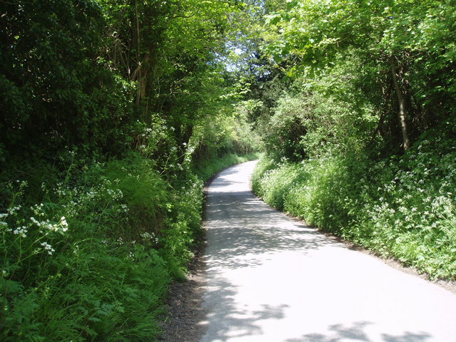
Combe Wood has a network of well-maintained footpaths and trails that allow visitors to explore the area at their own pace. Walkers can discover hidden streams, peaceful ponds, and tranquil glades, adding to the charm and beauty of this natural oasis. The wood also features a picnic area, making it an ideal spot for a family outing or a peaceful picnic surrounded by nature.
Overall, Combe Wood is a picturesque and idyllic woodland, offering a true escape from the hustle and bustle of daily life. With its diverse flora and fauna, well-marked trails, and serene atmosphere, it is a must-visit destination for nature lovers and those seeking a peaceful retreat in the heart of Kent.
If you have any feedback on the listing, please let us know in the comments section below.
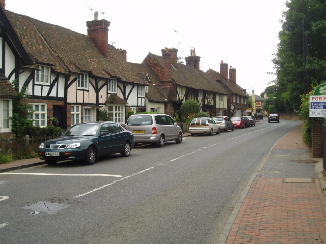
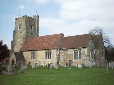
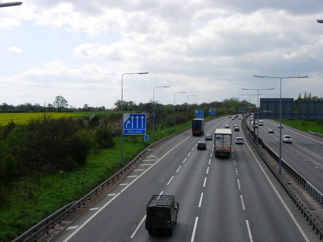
Combe Wood Images
Images are sourced within 2km of 51.284585/0.11424567 or Grid Reference TQ4756. Thanks to Geograph Open Source API. All images are credited.


Combe Wood is located at Grid Ref: TQ4756 (Lat: 51.284585, Lng: 0.11424567)
Administrative County: Kent
District: Sevenoaks
Police Authority: Kent
What 3 Words
///book.ranged.corn. Near Sundridge, Kent
Nearby Locations
Related Wikis

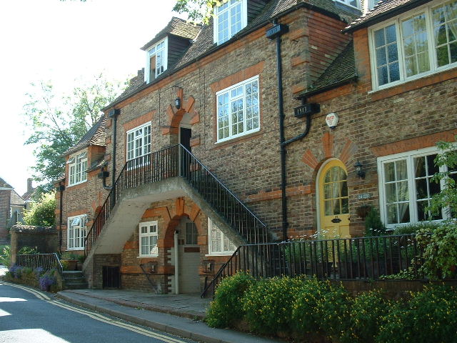
Radnor House Sevenoaks School
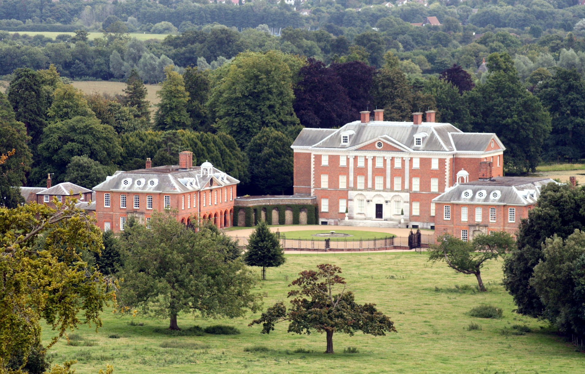
Radnor House Sevenoaks School (formerly Combe Bank School) is a coeducational private day school located in Sundridge (near Sevenoaks) in the English county...

Brasted railway station
Brasted is a disused intermediate railway station in Brasted, Kent on the closed Westerham Valley branch line. The station closed in 1961 and the site...

R. Durtnell & Sons
R. Durtnell & Sons was an English building company established in 1591 that had been continuously in the same family in Brasted, in the English county...

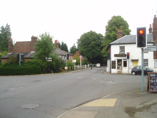
Brasted
Brasted is a village and civil parish in the Sevenoaks District of Kent, England. Brasted lies on the A25 road, between Sundridge and Westerham; the road...

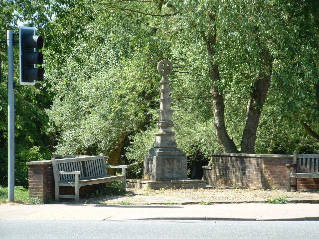
Chatham Vase
The Chatham Vase is a stone sculpture by John Bacon commissioned as a memorial to William Pitt the Elder by his wife, Hester, Countess of Chatham. It was...
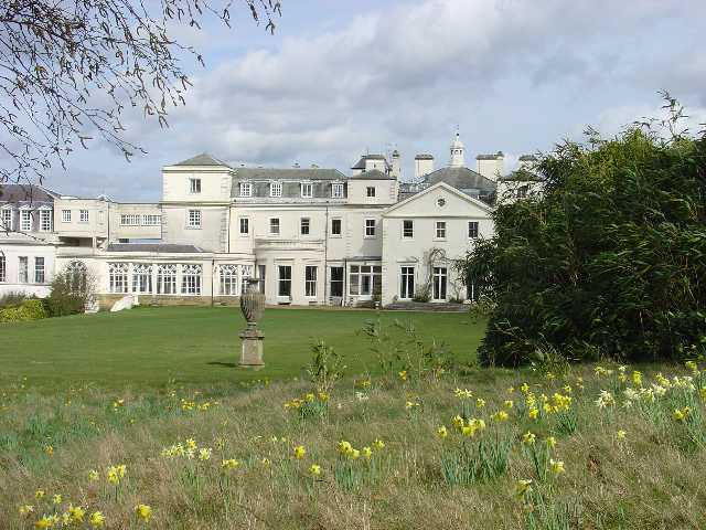
Chevening
Chevening House () is a large country house in the parish of Chevening in Kent, England. Built between 1617 and 1630 to a design reputedly by Inigo Jones...

Chevening, Kent
Chevening () is a village and civil parish in the Sevenoaks District of Kent, England. It was the location for the world's earliest known organised cricket...

Chevening Halt railway station
Chevening Halt is a now-closed intermediate railway station on the Westerham branch line in Kent. The line was built as single track with provision for...
Nearby Amenities
Located within 500m of 51.284585,0.11424567Have you been to Combe Wood?
Leave your review of Combe Wood below (or comments, questions and feedback).