Combebank Wood
Wood, Forest in Kent Sevenoaks
England
Combebank Wood
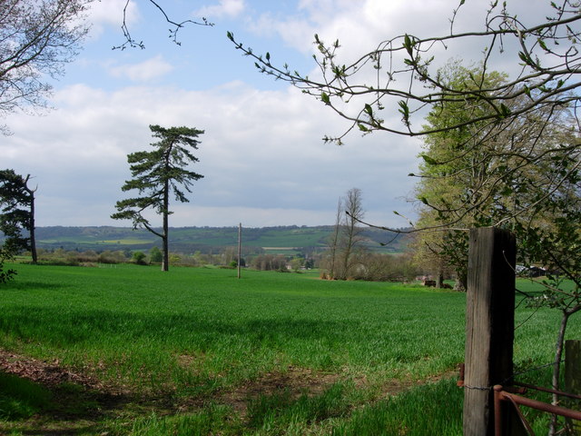
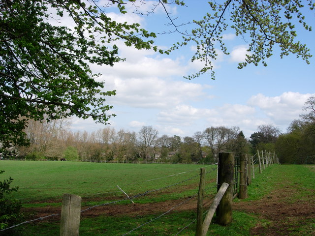
Combebank Wood is a picturesque woodland located in the county of Kent, England. Situated near the village of Sundridge, this forested area covers approximately 50 acres of land. It is renowned for its natural beauty and diverse ecosystem, making it a popular destination for nature enthusiasts and hikers.
The wood is predominantly composed of native broadleaf trees such as oak, beech, and birch, creating a dense and lush canopy that provides shade and shelter. The forest floor is covered in a thick layer of leaf litter, which supports a rich variety of flora and fauna.
Walking through Combebank Wood, visitors can expect to encounter an array of wildlife species, including deer, foxes, badgers, and a wide range of bird species. The tranquil atmosphere and abundance of wildlife make it an ideal location for birdwatching and photography.
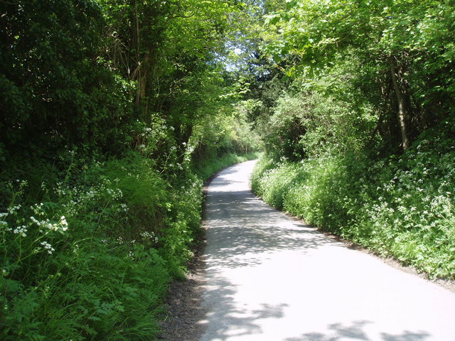
Several well-maintained walking trails crisscross the woodland, allowing visitors to explore its beauty at their own pace. These trails wind through ancient trees, offering glimpses of meandering streams and charming wildflower meadows.
Combebank Wood is also home to a small pond, which serves as a watering hole for various animals and adds to the overall enchanting ambiance of the forest. The pond provides a habitat for amphibians and insects, making it a fascinating spot for nature enthusiasts to observe and study.
In conclusion, Combebank Wood in Kent is a captivating natural haven that showcases the beauty of England's woodlands. Its diverse flora and fauna, well-maintained trails, and peaceful atmosphere make it an excellent destination for those seeking a tranquil escape in nature.
If you have any feedback on the listing, please let us know in the comments section below.
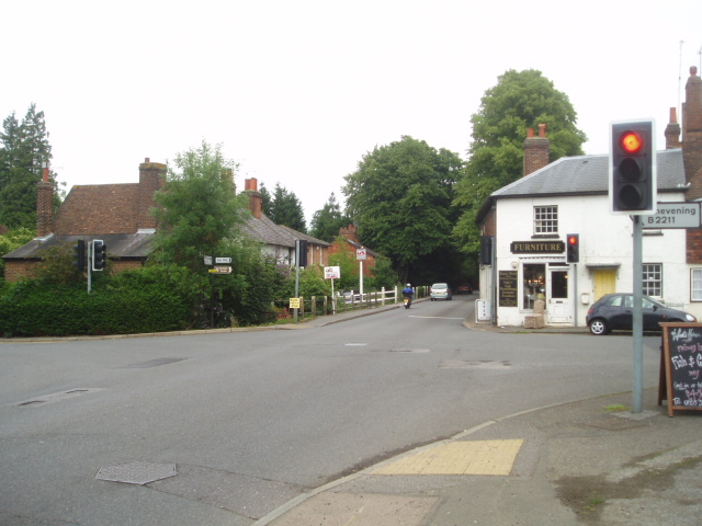
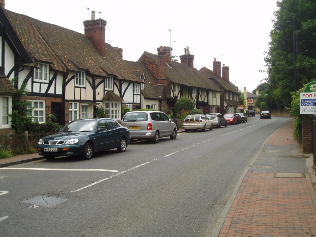
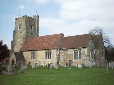
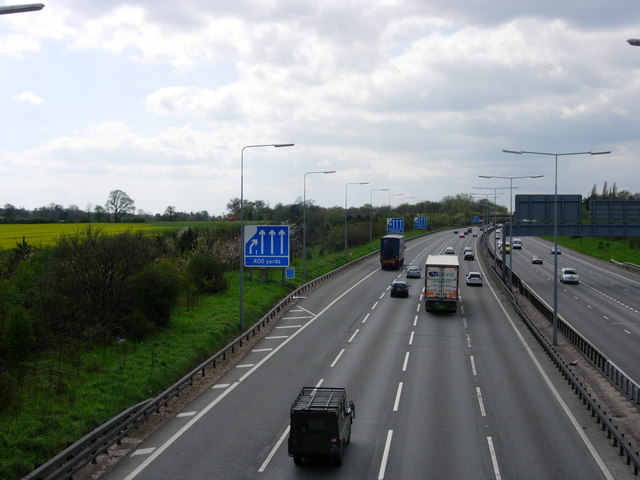
Combebank Wood Images
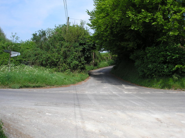
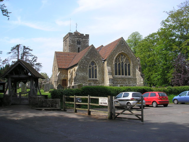
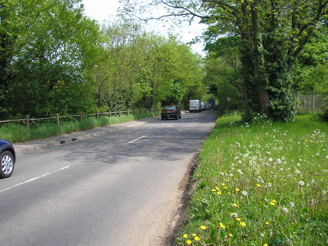
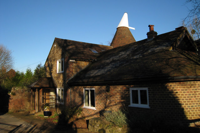
Images are sourced within 2km of 51.287211/0.11575741 or Grid Reference TQ4756. Thanks to Geograph Open Source API. All images are credited.


Combebank Wood is located at Grid Ref: TQ4756 (Lat: 51.287211, Lng: 0.11575741)
Administrative County: Kent
District: Sevenoaks
Police Authority: Kent
What 3 Words
///lakes.police.gossip. Near Sundridge, Kent
Nearby Locations
Related Wikis

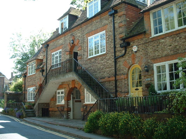
Radnor House Sevenoaks School
Radnor House Sevenoaks School (formerly Combe Bank School) is a coeducational private day school located in Sundridge (near Sevenoaks) in the English county...

Brasted railway station
Brasted is a disused intermediate railway station in Brasted, Kent on the closed Westerham Valley branch line. The station closed in 1961 and the site...

R. Durtnell & Sons
R. Durtnell & Sons was an English building company established in 1591 that had been continuously in the same family in Brasted, in the English county...

Brasted
Brasted is a village and civil parish in the Sevenoaks District of Kent, England. Brasted lies on the A25 road, between Sundridge and Westerham; the road...
Nearby Amenities
Located within 500m of 51.287211,0.11575741Have you been to Combebank Wood?
Leave your review of Combebank Wood below (or comments, questions and feedback).