Primrose Holt
Wood, Forest in Lincolnshire East Lindsey
England
Primrose Holt
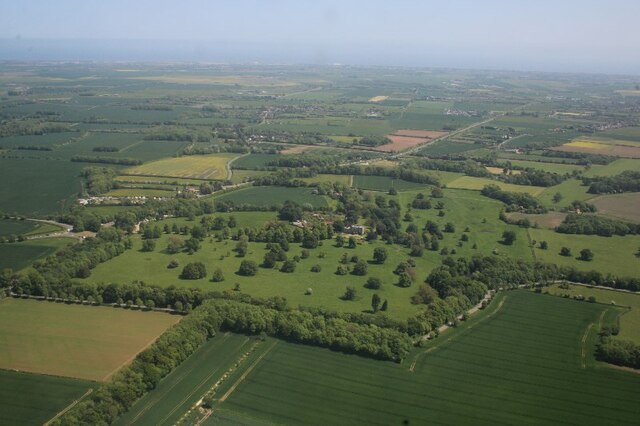
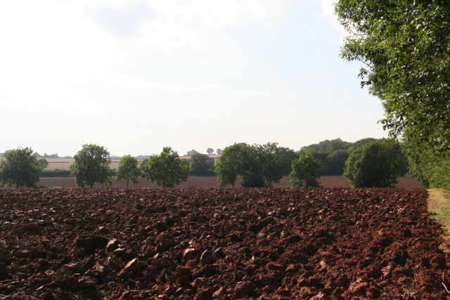
Primrose Holt is a charming village situated in the county of Lincolnshire, in the East Midlands region of England. Nestled amidst a picturesque landscape, it is renowned for its beautiful woodlands and enchanting forests. The village is located in the heart of Lincolnshire, surrounded by rolling hills and vast fields, which add to its natural beauty.
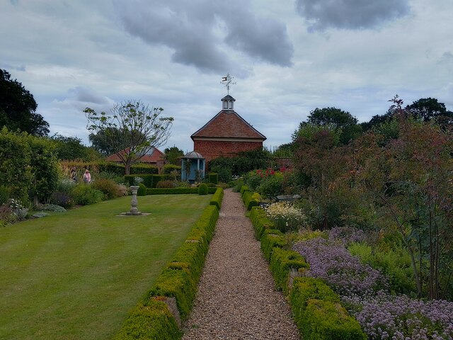
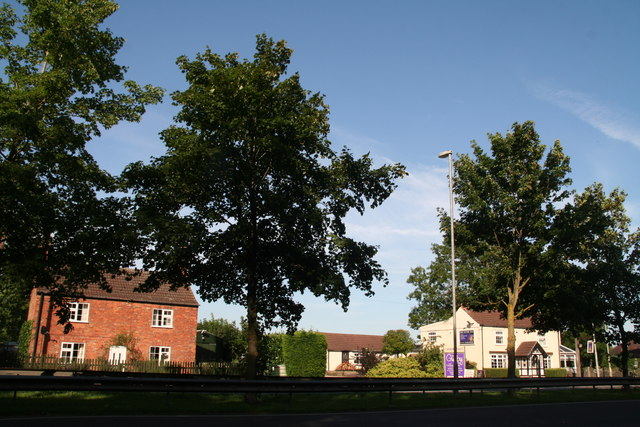
With a population of around 500 residents, Primrose Holt exudes a tranquil and close-knit community atmosphere. The village is characterized by its quaint cottages and traditional architecture, creating a sense of timeless charm. Residents take pride in maintaining the village's historical heritage, evident through the well-preserved buildings and gardens.
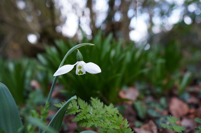
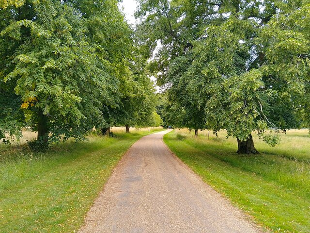
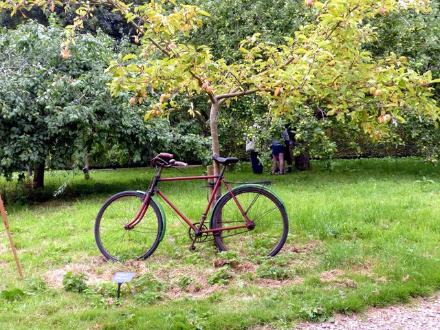
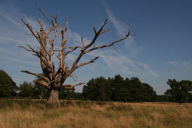
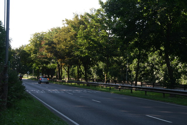
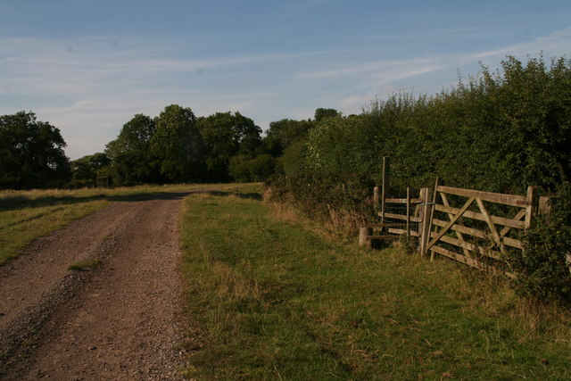
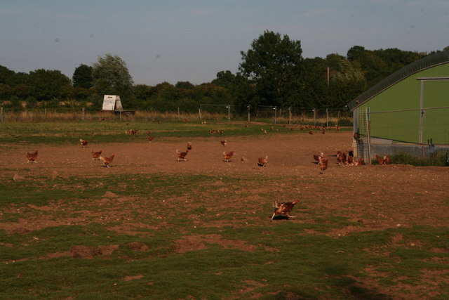
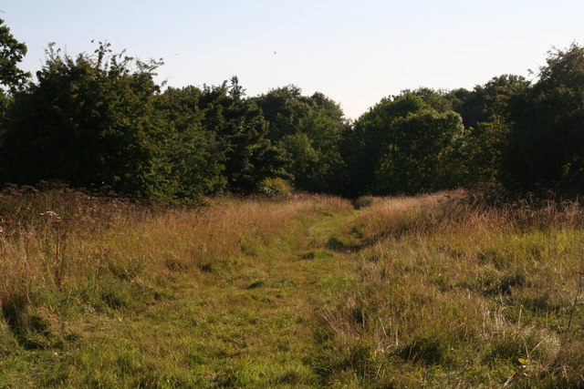
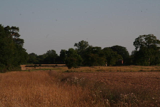
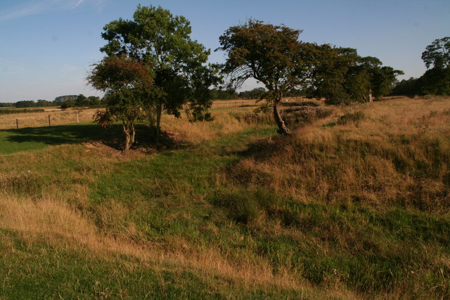
One of the highlights of Primrose Holt is its stunning woodlands and forests. The village is blessed with an abundance of lush greenery, attracting nature enthusiasts and outdoor adventurers alike. The woodlands provide ample opportunities for walking, hiking, and cycling, with numerous trails and paths to explore. Visitors can enjoy the tranquil ambience, observe various wildlife, and immerse themselves in the natural surroundings.
In addition to its natural beauty, Primrose Holt boasts a range of amenities for its residents and visitors. These include a village hall, a local pub, and a small convenience store. The village also hosts an annual summer fair, bringing the community together for a day of festivities and celebration.
Overall, Primrose Holt, Lincolnshire is a hidden gem, offering a peaceful retreat from the hustle and bustle of urban life. Its stunning woodlands, charming architecture, and strong sense of community make it a truly idyllic destination.
If you have any feedback on the listing, please let us know in the comments section below.
Primrose Holt Images
Images are sourced within 2km of 53.170103/0.19794398 or Grid Reference TF4765. Thanks to Geograph Open Source API. All images are credited.
Primrose Holt is located at Grid Ref: TF4765 (Lat: 53.170103, Lng: 0.19794398)
Administrative County: Lincolnshire
District: East Lindsey
Police Authority: Lincolnshire
What 3 Words
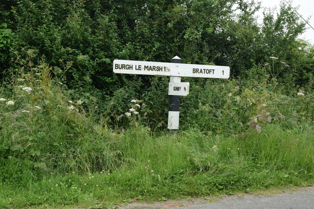
///dividers.risking.shopping. Near Burgh le Marsh, Lincolnshire
Nearby Locations
Related Wikis

Burgh-le-Marsh railway station
Burgh-le-Marsh was a railway station on the East Lincolnshire Railway which served the town of Burgh le Marsh in Lincolnshire between 1848 and 1970. It...

Bratoft
Bratoft is a small hamlet in the East Lindsey district of Lincolnshire, England. It is situated approximately 5 miles (8 km) east from Spilsby, 2 miles...

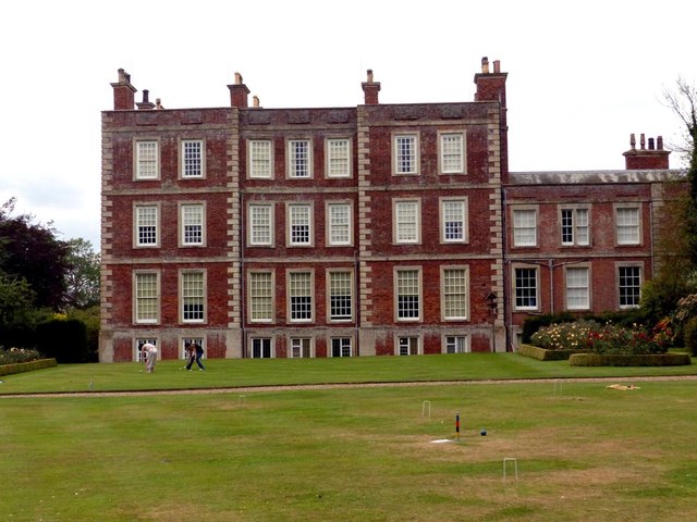
Gunby Hall
Gunby Hall is a country house in Gunby, near Spilsby, in Lincolnshire, England, reached by a half mile long private drive. The Estate comprises the 42...

Candlesby with Gunby
Candlesby with Gunby is a civil parish in the East Lindsey district of Lincolnshire, England, about 5 miles (8.0 km) east of the town of Spilsby, and includes...

Candlesby
Candlesby is a village and former civil parish, now in the parish of Candlesby with Gunby, in the East Lindsey district of Lincolnshire, England. It is...

Irby in the Marsh
Irby in the Marsh is a village and civil parish in the East Lindsey district of Lincolnshire, England. It is situated on the B1195 road, geographically...
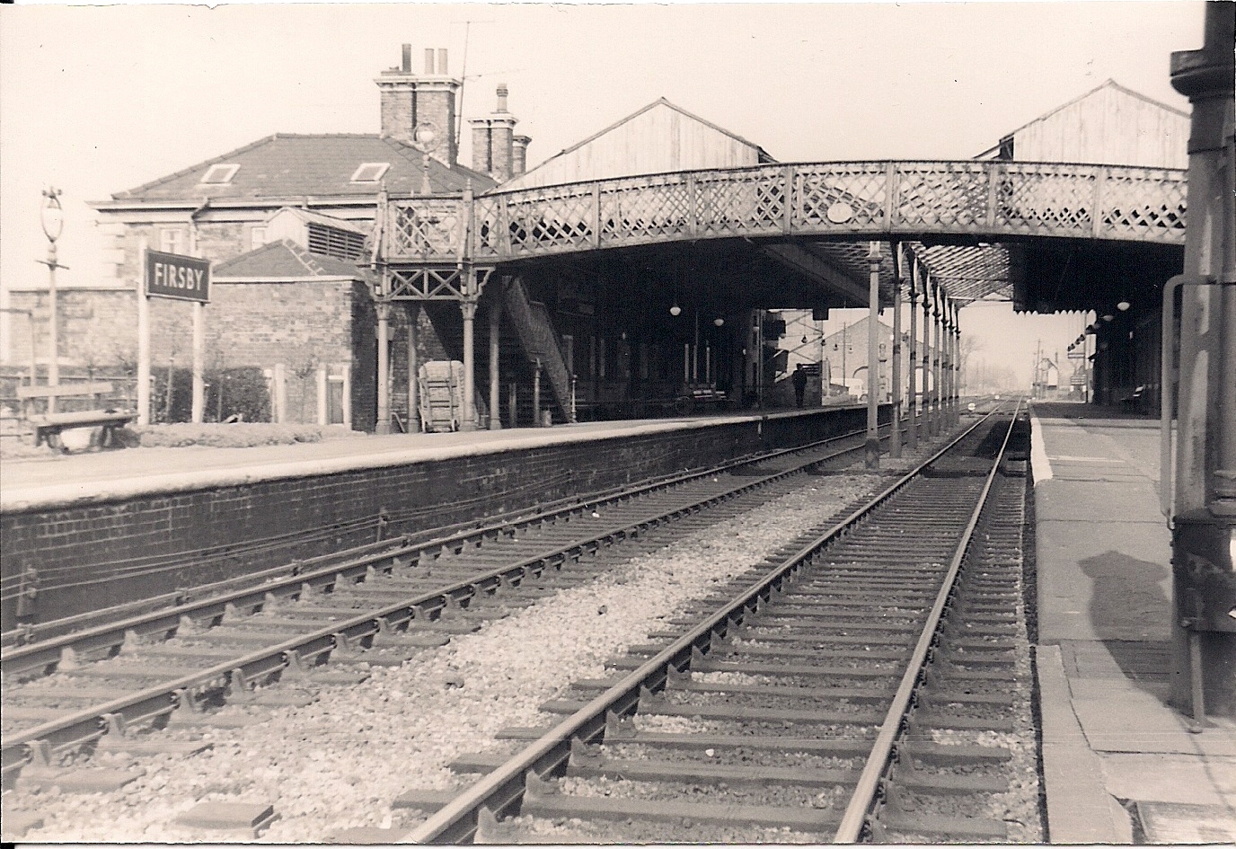
Firsby railway station
Firsby railway station was a station in Firsby, Lincolnshire. It served as a main line station and a terminus for two branch lines to Skegness and Spilsby...

RAF Spilsby
Royal Air Force Spilsby or more simply RAF Spilsby is a former Royal Air Force station during the Second World War and the Cold War located in the rural...
Nearby Amenities
Located within 500m of 53.170103,0.19794398Have you been to Primrose Holt?
Leave your review of Primrose Holt below (or comments, questions and feedback).