Buttoncap Holt
Wood, Forest in Lincolnshire East Lindsey
England
Buttoncap Holt
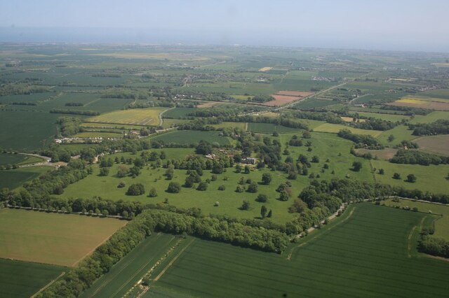
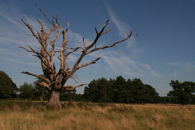
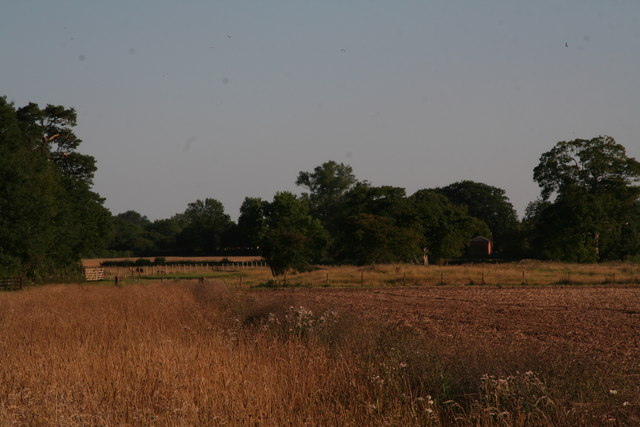
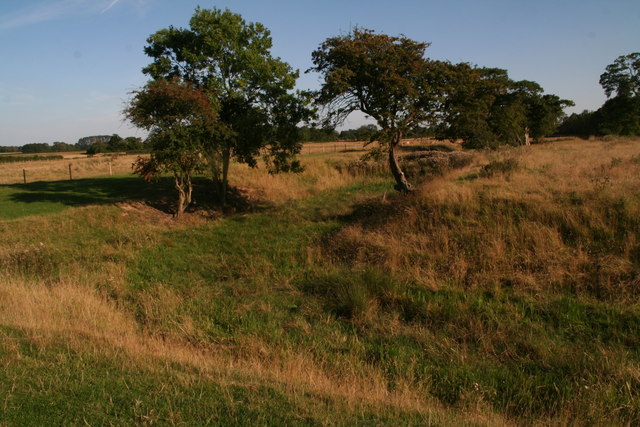
Buttoncap Holt is a picturesque woodland located in Lincolnshire, England. Situated in the heart of the county, this charming forest is a haven for nature lovers and outdoor enthusiasts alike. Spanning over a vast area, Buttoncap Holt offers a diverse range of flora and fauna, making it a popular destination for those seeking tranquility and natural beauty.
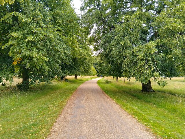
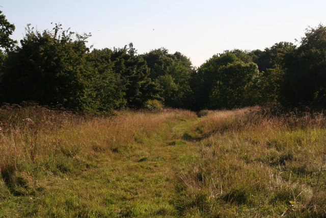
The woodland is characterized by its dense canopy of trees, including oak, beech, and birch, which provide shade and a sense of seclusion. Walking trails wind through the forest, allowing visitors to explore its hidden corners and discover the various wildlife that calls Buttoncap Holt home. Squirrels can be seen darting between the trees, while birdsong fills the air, creating a harmonious symphony of nature.
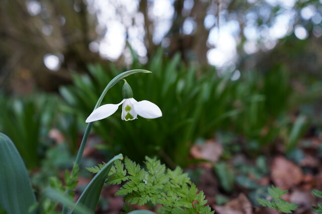
Buttoncap Holt is also home to a variety of plant species, with bluebells and wildflowers covering the forest floor during the spring months. This burst of color attracts photographers and nature enthusiasts, who come to capture the beauty of the woodland. Additionally, the forest boasts a small stream that meanders through its midst, adding to its picturesque charm.
Visitors can enjoy a range of recreational activities in Buttoncap Holt, including walking, hiking, and birdwatching. The forest provides a peaceful escape from the hustle and bustle of everyday life, allowing visitors to reconnect with nature and find solace in its serene surroundings.
In conclusion, Buttoncap Holt is a stunning woodland in Lincolnshire, offering a tranquil retreat for those seeking natural beauty and outdoor adventure. With its diverse flora and fauna, walking trails, and picturesque stream, this forest is truly a gem of the county.
If you have any feedback on the listing, please let us know in the comments section below.
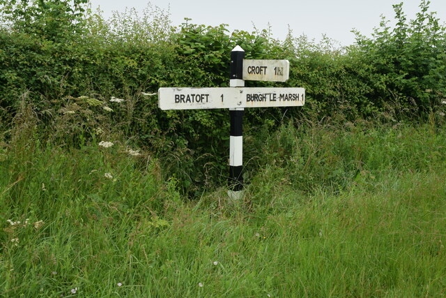
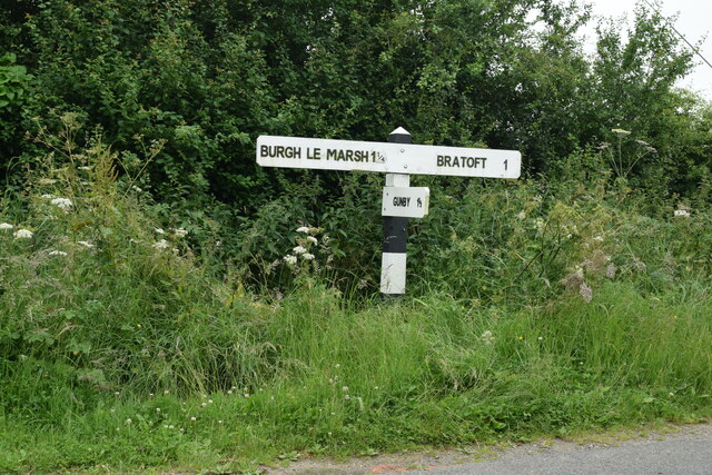
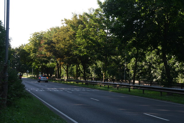
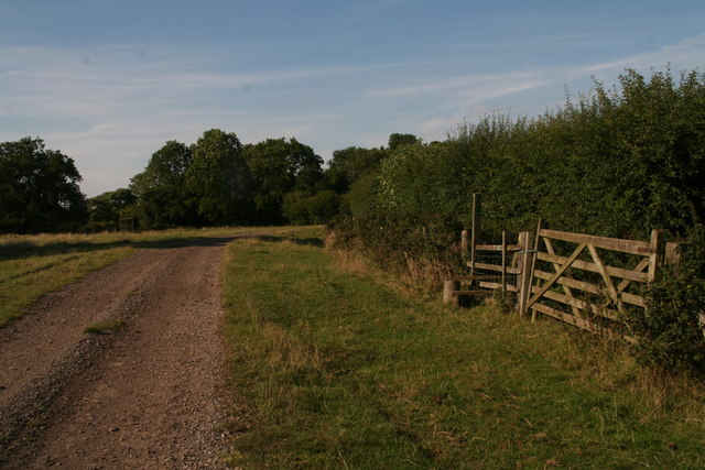
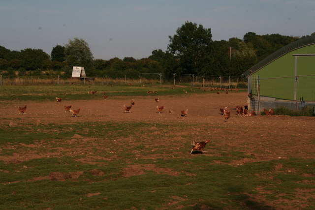
Buttoncap Holt Images
Images are sourced within 2km of 53.168715/0.20545866 or Grid Reference TF4765. Thanks to Geograph Open Source API. All images are credited.
Buttoncap Holt is located at Grid Ref: TF4765 (Lat: 53.168715, Lng: 0.20545866)
Administrative County: Lincolnshire
District: East Lindsey
Police Authority: Lincolnshire
What 3 Words
///paddlers.study.specifies. Near Burgh le Marsh, Lincolnshire
Nearby Locations
Related Wikis

Bratoft
Bratoft is a small hamlet in the East Lindsey district of Lincolnshire, England. It is situated approximately 5 miles (8 km) east from Spilsby, 2 miles...

Burgh-le-Marsh railway station
Burgh-le-Marsh was a railway station on the East Lincolnshire Railway which served the town of Burgh le Marsh in Lincolnshire between 1848 and 1970. It...

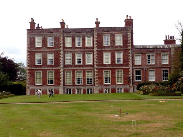
Gunby Hall
Gunby Hall is a country house in Gunby, near Spilsby, in Lincolnshire, England, reached by a half mile long private drive. The Estate comprises the 42...

Irby in the Marsh
Irby in the Marsh is a village and civil parish in the East Lindsey district of Lincolnshire, England. It is situated on the B1195 road, geographically...

Orby
Orby is a village and civil parish in the East Lindsey district of Lincolnshire, England. It is situated approximately 9 miles (14 km) east from the town...

Burgh le Marsh
Burgh le Marsh is a town and civil parish in the East Lindsey district of Lincolnshire, England. == Geography == The town is built on a low hill surrounded...
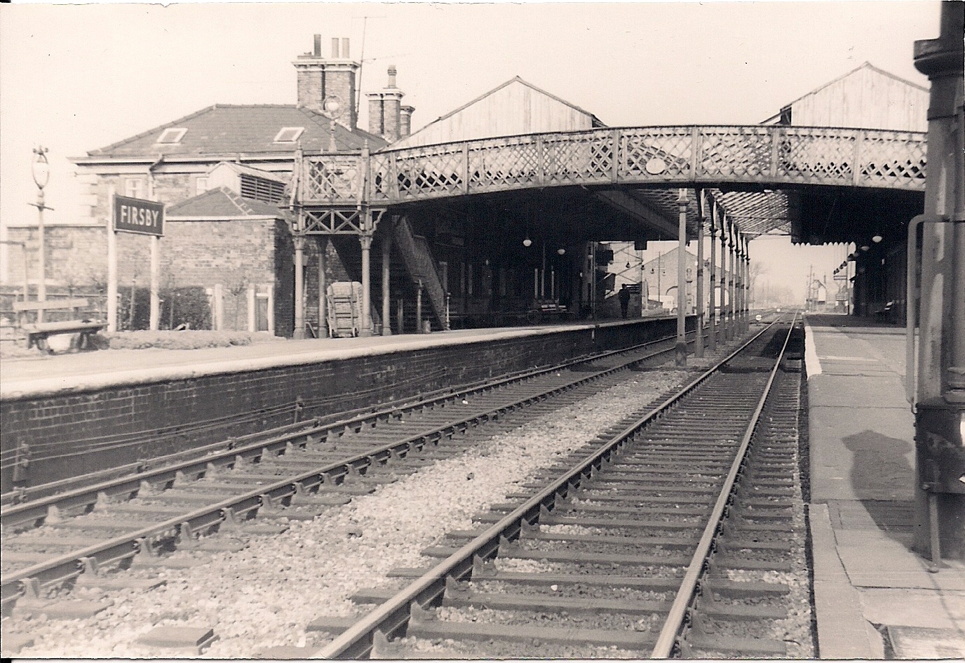
Firsby railway station
Firsby railway station was a station in Firsby, Lincolnshire. It served as a main line station and a terminus for two branch lines to Skegness and Spilsby...

Candlesby with Gunby
Candlesby with Gunby is a civil parish in the East Lindsey district of Lincolnshire, England, about 5 miles (8.0 km) east of the town of Spilsby, and includes...
Nearby Amenities
Located within 500m of 53.168715,0.20545866Have you been to Buttoncap Holt?
Leave your review of Buttoncap Holt below (or comments, questions and feedback).