Chadwell Millenium Green
Wood, Forest in Essex
England
Chadwell Millenium Green
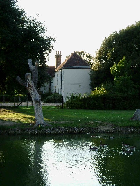
Chadwell Millennium Green is a picturesque and serene woodland located in Essex, England. Situated in the village of Chadwell St Mary, this green space offers a tranquil escape from the bustling city life, providing a haven for nature enthusiasts and those seeking a peaceful retreat.
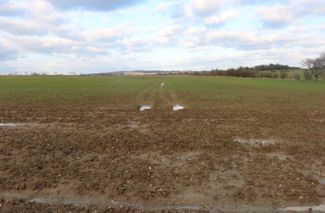
Covering an expanse of lush greenery, Chadwell Millennium Green consists primarily of woodlands and forests, showcasing a diverse range of flora and fauna. Towering trees, including oak, beech, and birch, dominate the landscape, creating a dense canopy that filters sunlight and casts a soothing shade over the ground below. The forest floor is adorned with a carpet of wildflowers, adding vibrant splashes of color to the scene.
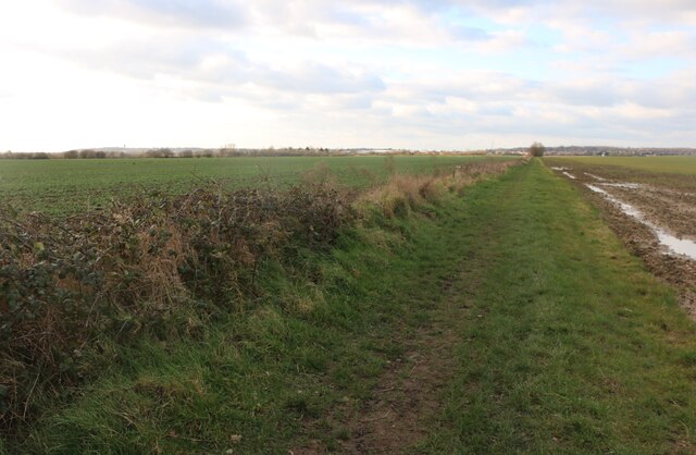
The green is crisscrossed by a network of well-maintained footpaths, allowing visitors to explore the area at their leisure. Nature trails wind through the woods, offering opportunities for leisurely strolls and invigorating hikes. Along these paths, one may encounter various wildlife species, such as squirrels, rabbits, and an array of birdlife, making it a popular spot for birdwatching enthusiasts.
Chadwell Millennium Green also features several seating areas and picnic spots, providing a perfect setting for families and friends to enjoy a relaxing day out amidst nature. The tranquil ambiance and idyllic surroundings make it an ideal location for outdoor activities, such as yoga classes, meditation sessions, and even small gatherings or events.
Overall, Chadwell Millennium Green is a cherished natural gem in Essex, offering a peaceful respite from the chaos of daily life and a chance to reconnect with the beauty of the natural world.
If you have any feedback on the listing, please let us know in the comments section below.
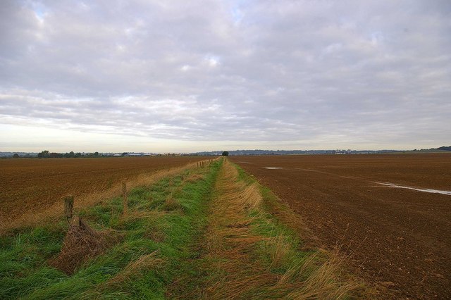
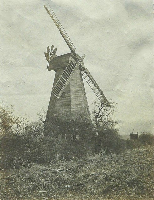
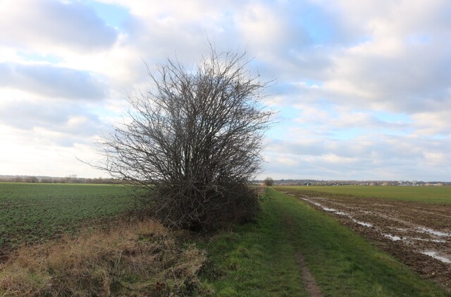
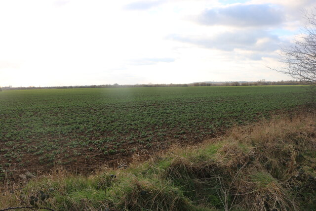
Chadwell Millenium Green Images
Images are sourced within 2km of 51.575197/0.12737348 or Grid Reference TQ4788. Thanks to Geograph Open Source API. All images are credited.


Chadwell Millenium Green is located at Grid Ref: TQ4788 (Lat: 51.575197, Lng: 0.12737348)
Unitary Authority: Redbridge
Police Authority: Metropolitan
What 3 Words
///solo.scrap.economies. Near Chadwell Heath, London
Nearby Locations
Related Wikis
Embassy Cinema, Chadwell Heath
The Embassy Cinema is a former cinema in the town of Chadwell Heath, Greater London. It was once known, among locals, as The Gaumont. It was designed in...

St Chad's Church, Chadwell Heath
St Chad's Church is the Church of England parish church for the area of Chadwell Heath in east London. It stands on St Chad's Road, next to the White Horse...

Chadwell Heath Academy
Chadwell Heath Academy is a co-educational, independent of local authority school with academy status, located in Chadwell Heath in the London Borough...
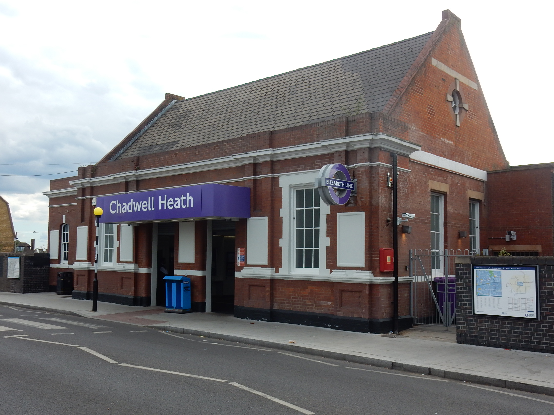
Chadwell Heath railway station
Chadwell Heath railway station is on the Great Eastern Main Line in Chadwell Heath, which straddles the London Borough of Redbridge and the London Borough...
Nearby Amenities
Located within 500m of 51.575197,0.12737348Have you been to Chadwell Millenium Green?
Leave your review of Chadwell Millenium Green below (or comments, questions and feedback).