Chadwell Heath

Settlement in Essex

England

Chadwell Heath

Footpath to Hainault Rd This is the footpath from Billet Road to Hainault Road looking towards Hainault Rd
Footpath to Hainault Rd Credit: Glyn Baker

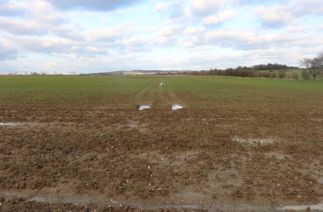
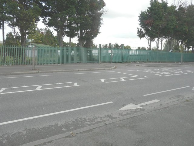
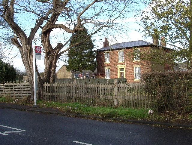
Chadwell Heath is a suburban town located in the London Borough of Redbridge, in the county of Essex, England. Situated approximately 12.5 miles northeast of central London, it borders the boroughs of Barking and Dagenham, and Havering. Historically, Chadwell Heath was a rural area, known for its agricultural landscapes and farms, but over the years, it has transformed into a predominantly residential area.

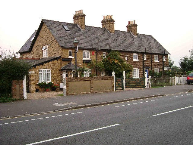
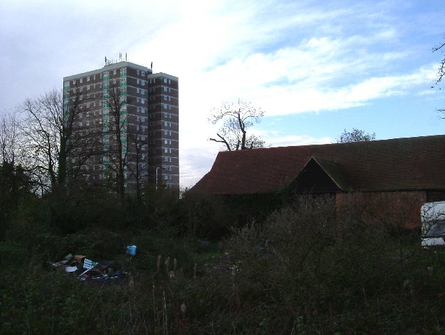
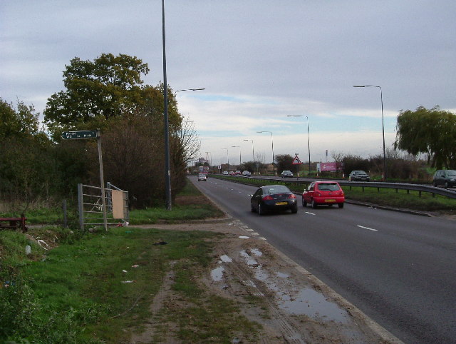
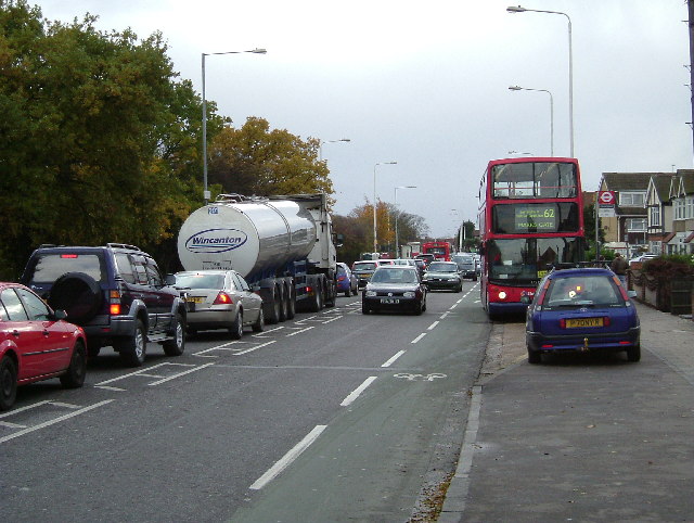
The town offers a mix of housing options, ranging from detached houses to apartment complexes, catering to a diverse range of residents. The area is well-connected, with Chadwell Heath railway station offering frequent train services to central London, making it an attractive location for commuters. Additionally, several bus routes serve the area, providing easy access to neighboring towns and boroughs.

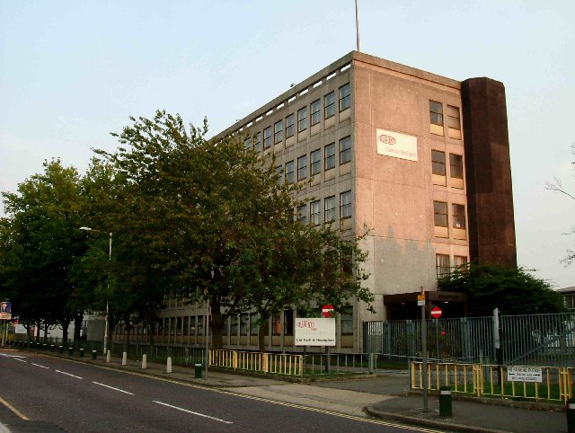
Chadwell Heath boasts a variety of amenities and facilities, including shops, restaurants, and leisure centers. The area is home to several schools, both primary and secondary, providing education options for families. King George Hospital, a major healthcare facility, is located nearby in Goodmayes.

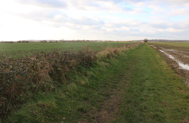
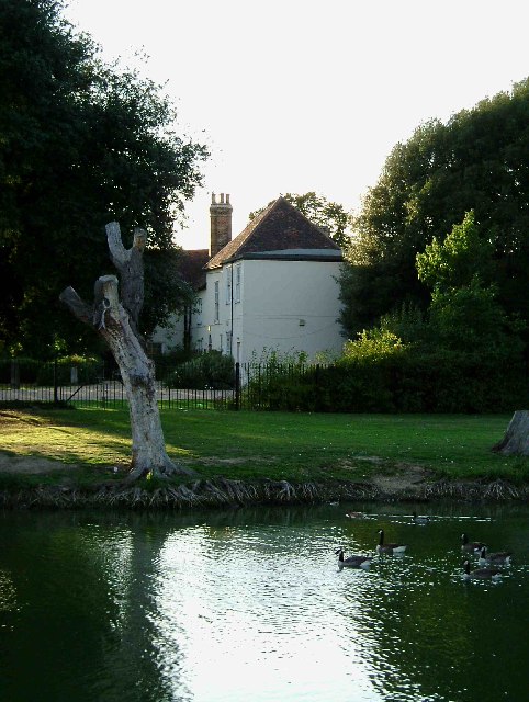
For recreational activities, residents can explore the nearby countryside, including the expansive Hainault Forest Country Park, which offers beautiful woodland walks, a golf course, and a lake for fishing. The town also has its own cricket and football clubs, providing opportunities for sports enthusiasts.

Overall, Chadwell Heath offers a convenient location for individuals and families seeking a suburban lifestyle with easy access to London and a range of amenities and recreational opportunities.

If you have any feedback on the listing, please let us know in the comments section below.

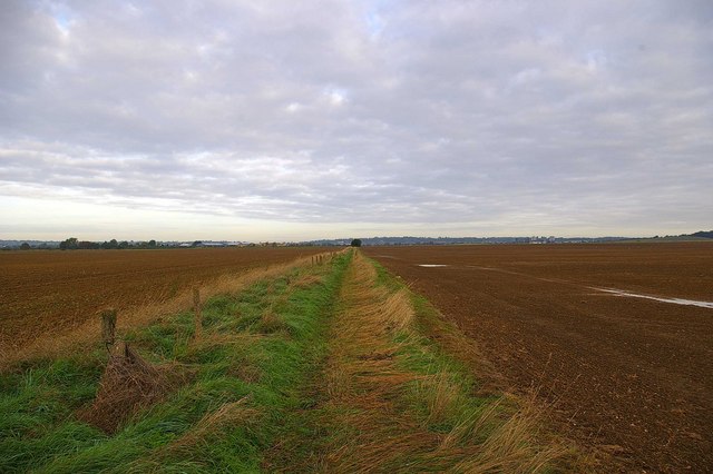
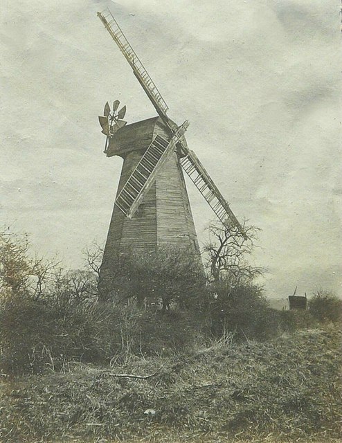
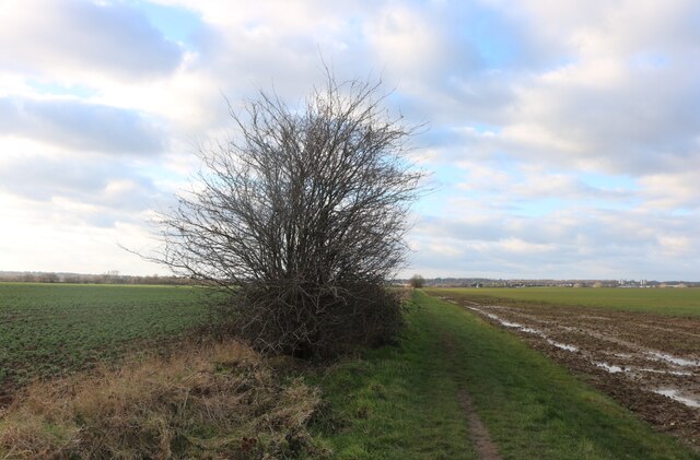
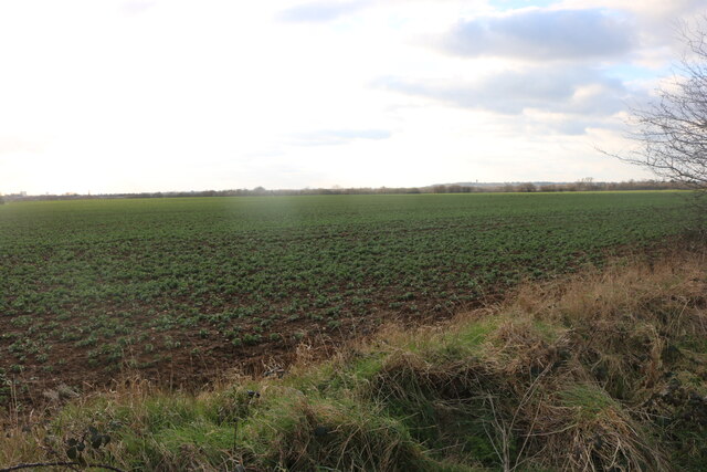
Chadwell Heath Images

Images are sourced within 2km of 51.575492/0.131499 or Grid Reference TQ4788. Thanks to Geograph Open Source API. All images are credited.

Footpath to Hainault Rd This is the footpath from Billet Road to Hainault Road looking towards Hainault Rd
Footpath to Hainault Rd
This is the footpath from Billet Road to Hainault Road looking towards Hainault Rd
Mill Farm, Whalebone Lane North: 1997 The farm was home to three generations of the Drake family which managed a windmill that was close by. This was demolished in the early 1920s. In 1997, the site was being used as a car/van holding area.
Mill Farm, Whalebone Lane North: 1997
The farm was home to three generations of the Drake family which managed a windmill that was close by. This was demolished in the early 1920s. In 1997, the site was being used as a car/van holding area.
Marks Gate windmill in 1920 The original image resides in an album that was my paternal grandfather's: George W Baker and therefore he might have photographed the mill in its last days. The discussion I added to <a title="https://www.geograph.org.uk/photo/1655097" href="https://www.geograph.org.uk/photo/1655097">Link</a> states that the structure of the mill was considered unsafe soon after 1921 when all but the brick base was demolished.
Marks Gate windmill in 1920
The original image resides in an album that was my paternal grandfather's: George W Baker and therefore he might have photographed the mill in its last days. The discussion I added to Link states that the structure of the mill was considered unsafe soon after 1921 when all but the brick base was demolished.
Field in Marks Gate
Field in Marks Gate
Field in Marks Gate
Field in Marks Gate
Field in Marks Gate
Field in Marks Gate
Field in Marks Gate This is part of a network of rough paths through the fields to Hainault and beyond.
Field in Marks Gate
This is part of a network of rough paths through the fields to Hainault and beyond.
Entrance to Brett La Farge Ltd From Hainault Road. In the distance, behind the lorry speeding down the road, a conveyor spans the road to carry aggregates from Fairlop Quarry.
Entrance to Brett La Farge Ltd
From Hainault Road. In the distance, behind the lorry speeding down the road, a conveyor spans the road to carry aggregates from Fairlop Quarry.
Richard Scott Motors, Whalebone Lane North The view looked very much as it had 16 years ago <a href="https://www.geograph.org.uk/photo/1655097">TQ4890 : Mill Farm, Whalebone Lane North: 1997</a> but its significance for me is that it is where my paternal great-grandmother once lived, in the house behind the cars.
Richard Scott Motors, Whalebone Lane North
The view looked very much as it had 16 years ago TQ4890 : Mill Farm, Whalebone Lane North: 1997 but its significance for me is that it is where my paternal great-grandmother once lived, in the house behind the cars.
The entrance to Elmstead Nurseries Seen across Whalebone Road North. The site appears overgrown and unkempt as it is a business that has ceased trading.
The entrance to Elmstead Nurseries
Seen across Whalebone Road North. The site appears overgrown and unkempt as it is a business that has ceased trading.
Valance House Becontree This is Valance House Becontree. It is the last survivor of Dagenham’s five manor houses. It was preserved as the estate management offices during the construction of the huge Becontree Council Housing Estate before WW2. Valance House was named after Agnes De Valance who lived and was murdered on the site in the 13th Century. Some say her ghost still haunts the grounds. Parts of the current house date from the 15th Century although from its outward appearance one would be hard pushed to guess which. In 1938 one room of the building was opened as a museum, a function the whole building fulfils today. The picture was taken looking across the moat towards the house.
Valance House Becontree
This is Valance House Becontree. It is the last survivor of Dagenham’s five manor houses. It was preserved as the estate management offices during the construction of the huge Becontree Council Housing Estate before WW2. Valance House was named after Agnes De Valance who lived and was murdered on the site in the 13th Century. Some say her ghost still haunts the grounds. Parts of the current house date from the 15th Century although from its outward appearance one would be hard pushed to guess which. In 1938 one room of the building was opened as a museum, a function the whole building fulfils today. The picture was taken looking across the moat towards the house.
Crown Cottages This Victorian terrace built in 1869 is Crown Cottages on the A118 London Road. They stand on the edge of Crown Farm a scrap of agricultural land between Romford and Chadwell Heath.
Crown Cottages
This Victorian terrace built in 1869 is Crown Cottages on the A118 London Road. They stand on the edge of Crown Farm a scrap of agricultural land between Romford and Chadwell Heath.
DuPont Performance Coatings This is DuPont Performance Coatings (that’s paint to you and me). This facility in Freshwater Rd specialises in vehicle paint. The site has a vehicle refinishers training unit. However much of the site is the base for UK administration such as sales, marketing, customer service etc
DuPont Performance Coatings
This is DuPont Performance Coatings (that’s paint to you and me). This facility in Freshwater Rd specialises in vehicle paint. The site has a vehicle refinishers training unit. However much of the site is the base for UK administration such as sales, marketing, customer service etc
Dairy Crest Chadwell Heath Not exactly the picture that comes to mind when you say the word “dairy” but that is what this factory is, it produces “liquid milk products”.
Dairy Crest Chadwell Heath
Not exactly the picture that comes to mind when you say the word “dairy” but that is what this factory is, it produces “liquid milk products”.
Red House Farm Red House Farm, Billet Road, Redbridge. It is not every farm that has its own London Transport Bus Stop!
Red House Farm
Red House Farm, Billet Road, Redbridge. It is not every farm that has its own London Transport Bus Stop!
Old and New This barn at Warren Farm off Whalebone Lane North has its own (rather overgrown) moat, it has been around for more than a week or two! Highview House in the background is somewhat younger
Old and New
This barn at Warren Farm off Whalebone Lane North has its own (rather overgrown) moat, it has been around for more than a week or two! Highview House in the background is somewhat younger
Footpath to Warren Farm The footpath to the left leads to Warren Farm <a href="https://www.geograph.org.uk/gridref/TQ4889">TQ4889</a> and Whalebone Lane North. The road is the A12 looking eastbound towards Romford.
Footpath to Warren Farm
The footpath to the left leads to Warren Farm TQ4889 and Whalebone Lane North. The road is the A12 looking eastbound towards Romford.
Traffic Jam on Whalebone Lane This shot was taken near Adelaide Gardens looking South along Whalebone Lane North. I wonder if cyclists are any safer with the addition of a green road surface and a cyclepath sign?
Traffic Jam on Whalebone Lane
This shot was taken near Adelaide Gardens looking South along Whalebone Lane North. I wonder if cyclists are any safer with the addition of a green road surface and a cyclepath sign?
Show me another place!

Chadwell Heath is located at Grid Ref: TQ4788 (Lat: 51.575492, Lng: 0.131499)

Unitary Authority: Barking and Dagenham

Police Authority: Metropolitan

What 3 Words

///limes.poetic.shaped. Near Chadwell Heath, London

Related Wikis

St Chad's Church, Chadwell Heath

St Chad's Church is the Church of England parish church for the area of Chadwell Heath in east London. It stands on St Chad's Road, next to the White Horse...

Embassy Cinema, Chadwell Heath

The Embassy Cinema is a former cinema in the town of Chadwell Heath, Greater London. It was once known, among locals, as The Gaumont. It was designed in...

The Warren School

The Warren School, previously known as Warren Comprehensive School, is a mixed secondary school in Chadwell Heath in Greater London. The School is an 11...

Chadwell Heath

Chadwell Heath is a town in East London, England. It is split between the London Borough of Barking and Dagenham and the London Borough of Redbridge, around...

Nearby Amenities

Located within 500m of 51.575492,0.131499
Ref GB Tflcid: RWG166035
Traffic Calming: cushion
Lat/Long: 51.573617/0.13615
Mini Roundabout
Direction: clockwise
Lat/Long: 51.5746643/0.1368407
Ref GB Tflcid: RWG166106
Traffic Calming: hump
Lat/Long: 51.574862/0.1367712
Ref GB Tflcid: RWG167412
Traffic Calming: hump
Lat/Long: 51.5753962/0.1265437
Ref GB Tflcid: RWG166756
Traffic Calming: hump
Lat/Long: 51.5724369/0.1265582
Mini Roundabout
Direction: clockwise
Lat/Long: 51.5782239/0.1258973
Ref GB Tflcid: RWG167417
Traffic Calming: hump
Lat/Long: 51.5776289/0.1253598
Turning Circle
Lat/Long: 51.5765167/0.1345238
Turning Circle
Lat/Long: 51.5756365/0.1356941
Ref GB Tflcid: RWG166103
Traffic Calming: hump
Lat/Long: 51.5765415/0.1363992
Bus Stop
Hall Road
Local Ref: Q
Naptan AtcoCode: 490007681Q
Naptan Bearing: NW
Naptan CommonName: Hall Rd Chadwell Heath Lane
Naptan Indicator: Stop Q
Naptan Street: CHADWELL HEATH LANE
Naptan Verified: no
Public Transport: platform
Lat/Long: 51.5726648/0.1262906
Bus Stop
Hawkridge Close
Local Ref: P
Naptan AtcoCode: 490007922S
Naptan Bearing: S
Naptan CommonName: Hawkridge Close
Naptan Indicator: Stop P
Naptan Street: CHADWELL HEATH LANE
Naptan Verified: no
Public Transport: platform
Lat/Long: 51.5729183/0.1257779
Bus Stop
St Chad's Road
Local Ref: K
Naptan AtcoCode: 490009910K
Naptan Bearing: E
Naptan CommonName: St Chad's Road
Naptan Indicator: Stop K
Naptan Verified: no
Public Transport: platform
Lat/Long: 51.5716237/0.1349383
Leisure: playground
Lat/Long: 51.5735657/0.1308621
Ref GB Tflcid: RWG166501
Traffic Calming: cushion
Lat/Long: 51.5720737/0.1293245
Bicycle Parking
Bicycle Parking: stands
Capacity: 8
Lat/Long: 51.574035/0.1326586
Bicycle Parking
Bicycle Parking: stands
Capacity: 6
Lat/Long: 51.5710112/0.1312177
Bicycle Parking
Bicycle Parking: stands
Capacity: 12
Lat/Long: 51.571842/0.1351008
Bicycle Parking
Bicycle Parking: stands
Capacity: 4
Covered: no
Lat/Long: 51.5710507/0.1321898
Bicycle Parking
Bicycle Parking: stands
Capacity: 4
Covered: no
Lat/Long: 51.5710554/0.1323432
Bicycle Parking
Bicycle Parking: stands
Capacity: 4
Covered: no
Lat/Long: 51.5711578/0.1327724
Bicycle Parking
Bicycle Parking: stands
Capacity: 4
Lat/Long: 51.5712208/0.1330783
Traffic Calming: hump
Lat/Long: 51.5788659/0.1333406
Traffic Calming: hump
Lat/Long: 51.576643/0.1382065
Traffic Calming: hump
Lat/Long: 51.5795509/0.1304672
Traffic Calming: hump
Lat/Long: 51.5752358/0.1366863
Traffic Calming: hump
Lat/Long: 51.5774081/0.1380261
Traffic Calming: hump
Lat/Long: 51.5790983/0.1355562
Traffic Calming: cushion
Lat/Long: 51.5750791/0.1383552
Traffic Calming: hump
Lat/Long: 51.5776576/0.1365171
Traffic Calming: cushion
Lat/Long: 51.5747704/0.1371554
Traffic Calming: hump
Lat/Long: 51.5790514/0.1310049
Traffic Calming: hump
Lat/Long: 51.5782406/0.1309632
Traffic Calming: hump
Lat/Long: 51.5785308/0.1320526
Traffic Calming: cushion
Lat/Long: 51.5747144/0.1370204
Traffic Calming: hump
Lat/Long: 51.5777685/0.1376996
Traffic Calming: hump
Lat/Long: 51.5758536/0.1365587
Traffic Calming: cushion
Lat/Long: 51.5744619/0.1366094
Traffic Calming: hump
Lat/Long: 51.5797906/0.1313944
Traffic Calming: hump
Lat/Long: 51.5794588/0.132833
Traffic Calming: hump
Lat/Long: 51.5753616/0.1385423
Traffic Calming: hump
Lat/Long: 51.5759608/0.138362
Traffic Calming: hump
Lat/Long: 51.5796646/0.1341681
Traffic Calming: hump
Lat/Long: 51.5792423/0.1319371
Traffic Calming: hump
Lat/Long: 51.5778693/0.136127
Traffic Calming: hump
Lat/Long: 51.5790072/0.1341836
Traffic Calming: hump
Lat/Long: 51.5782905/0.1362176
Traffic Calming: hump
Lat/Long: 51.5770953/0.1362957
Traffic Calming: hump
Lat/Long: 51.5792005/0.1296428
Traffic Calming: hump
Lat/Long: 51.5786623/0.1359659
Traffic Calming: cushion
Lat/Long: 51.5713782/0.1298511
Traffic Calming: hump
Lat/Long: 51.575791/0.1251633
Traffic Calming: hump
Lat/Long: 51.5759502/0.1244343
Traffic Calming: hump
Lat/Long: 51.5756563/0.1258276
Traffic Calming: hump
Lat/Long: 51.5781454/0.1261418
Traffic Calming: hump
Lat/Long: 51.578136/0.1271017
Traffic Calming: hump
Lat/Long: 51.5787914/0.1289012
Traffic Calming: hump
Lat/Long: 51.5785126/0.1282507
Traffic Calming: hump
Lat/Long: 51.5743899/0.1260583
Traffic Calming: hump
Lat/Long: 51.5731881/0.125453
Traffic Calming: cushion
Lat/Long: 51.5724826/0.1275108
Traffic Calming: hump
Lat/Long: 51.5762499/0.1277536
Traffic Calming: hump
Lat/Long: 51.5750345/0.1263736
Traffic Calming: hump
Lat/Long: 51.5770941/0.1302869
Traffic Calming: hump
Lat/Long: 51.5757794/0.1269531
Traffic Calming: hump
Lat/Long: 51.576693/0.1290159
Traffic Calming: hump
Lat/Long: 51.5761583/0.1272895
Traffic Calming: hump
Lat/Long: 51.57716/0.1262191
Traffic Calming: hump
Lat/Long: 51.5765757/0.1268435
Advertising: board
Lat/Long: 51.5713376/0.1341339
Advertising: board
Lat/Long: 51.5713112/0.1339811
Bicycle Parking
Bicycle Parking: stands
Capacity: 6
Ref GB Tflcid: RWG156740
Lat/Long: 51.5727422/0.1259276
Bicycle Parking
Bicycle Parking: stands
Capacity: 6
Ref GB Tflcid: RWG156674
Lat/Long: 51.5729918/0.1256422
Doctors
Chadwell Heath Surgery
Addr Housenumber: 72
Addr Postcode: RM6 4AF
Addr Street: Chadwell Heath Lane
Healthcare: doctor
Website: https://www.chadwellheathsurgery.nhs.uk
Lat/Long: 51.5732187/0.1253052
Pharmacy
Healthcare: pharmacy
Lat/Long: 51.573097/0.1255841
Traffic Signals
Traffic Signals Direction: forward
Lat/Long: 51.5712531/0.1330852
Crossing
Crossing: traffic_signals
Crossing Island: no
Lat/Long: 51.571263/0.1331444
Traffic Signals
Traffic Signals Direction: backward
Lat/Long: 51.5712745/0.1332126
The data included in this document is from www.openstreetmap.org. The data is made available under ODbL.

Have you been to Chadwell Heath?

Leave your review of Chadwell Heath below (or comments, questions and feedback).