Chadwell End
Settlement in Bedfordshire
England
Chadwell End
Chadwell End is a small village located in the county of Bedfordshire, England. Situated approximately 3 miles north of the town of Luton, it falls within the civil parish of Streatley and is part of the Central Bedfordshire Council area. The village is nestled between the Chiltern Hills and the River Lea, offering a picturesque setting for its residents.
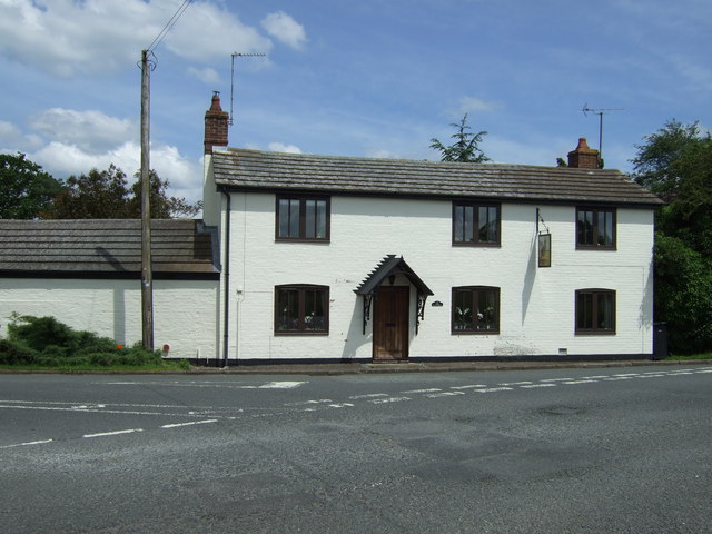
Chadwell End is a predominantly residential area, characterized by charming cottages and modern houses. The village has a close-knit community, with a population of around 500 residents. It boasts a peaceful and tranquil atmosphere, making it an ideal place for those seeking a retreat from the bustling city life.
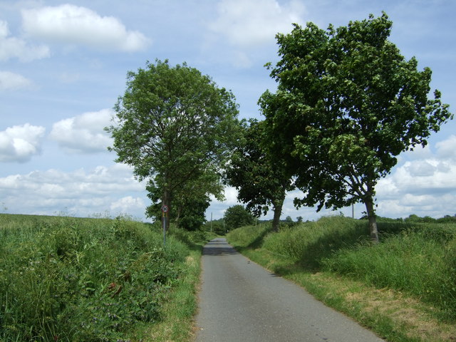
Although Chadwell End is a small village, it benefits from its proximity to nearby towns and amenities. The larger town of Luton offers a wide range of shopping facilities, restaurants, and entertainment options. Additionally, the village is well-connected to public transportation, with regular bus services providing easy access to surrounding areas.
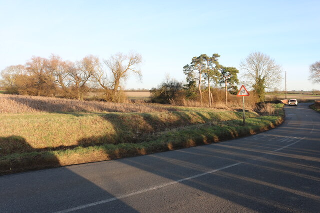
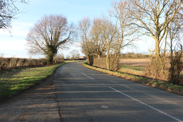
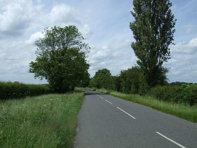
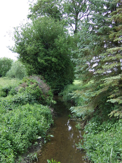
The natural beauty of Chadwell End attracts outdoor enthusiasts, with plenty of walking and cycling routes nearby. The nearby Chiltern Hills offer stunning views and opportunities for outdoor activities. The River Lea also provides a peaceful spot for fishing and boating.
Overall, Chadwell End is a charming and idyllic village, offering a peaceful lifestyle within a picturesque setting. Its close proximity to larger towns and amenities makes it an attractive place for both families and individuals looking to enjoy the tranquility of village life while still having easy access to urban conveniences.
If you have any feedback on the listing, please let us know in the comments section below.
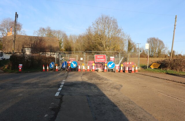
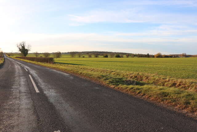
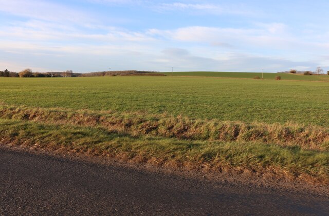
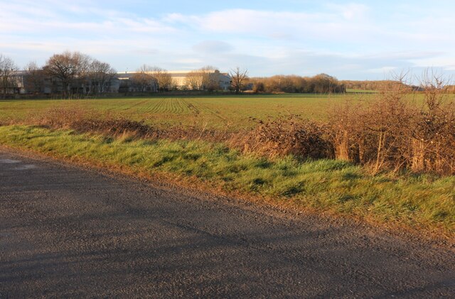
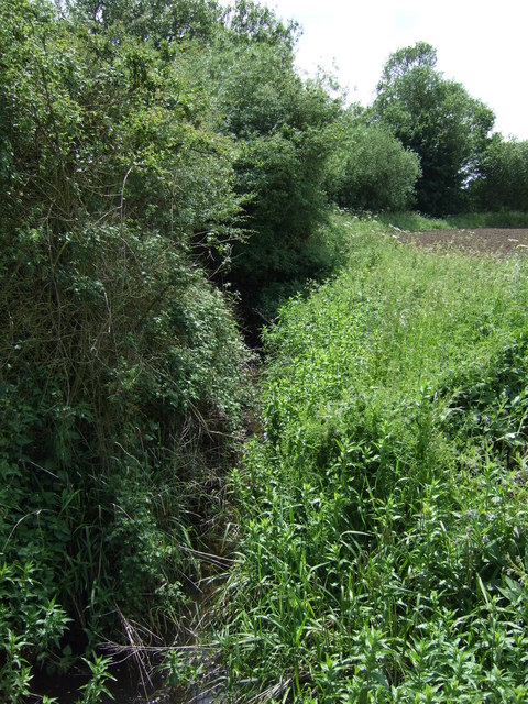
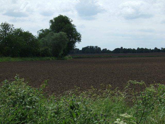
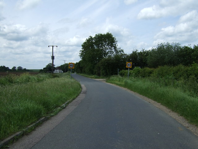
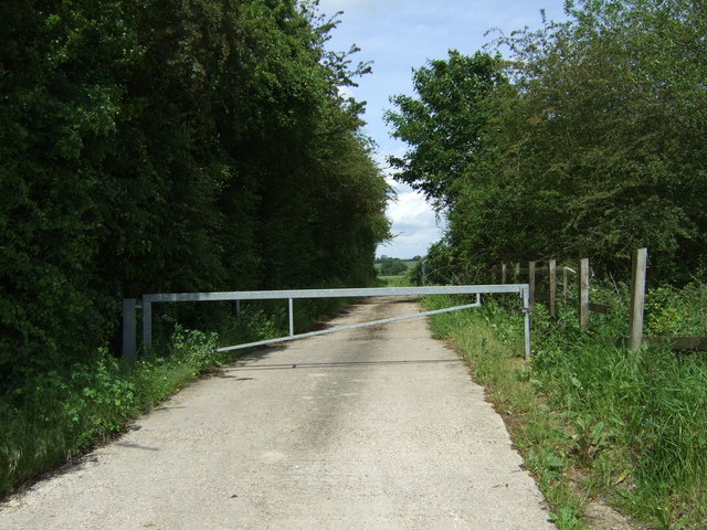
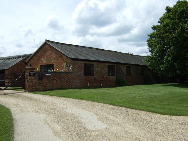
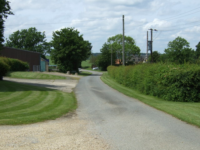
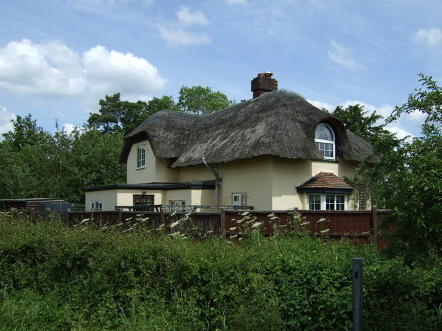
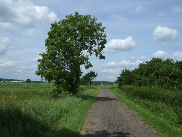
Chadwell End Images
Images are sourced within 2km of 52.276794/-0.416246 or Grid Reference TL0865. Thanks to Geograph Open Source API. All images are credited.
Chadwell End is located at Grid Ref: TL0865 (Lat: 52.276794, Lng: -0.416246)
Unitary Authority: Bedford
Police Authority: Bedfordshire
What 3 Words
///request.soggy.clock. Near Pertenhall, Bedfordshire
Nearby Locations
Related Wikis

Church of St Peter, Pertenhall
Church of St Peter is a Grade I listed church in Pertenhall, Bedfordshire, England. It became a listed building on 13 July 1964. == See also == Grade...

Pertenhall
Pertenhall is a small village and civil parish located in Bedfordshire, close to the borders of Cambridgeshire and Northamptonshire. Its parish council...

Church of St Nicholas, Swineshead, Bedfordshire
Church of St Nicholas is a Grade I listed church in Swineshead, Bedfordshire, England. It became a listed building on 13 July 1964.It is a 14th-century...

Swineshead, Bedfordshire
Swineshead is a village and civil parish in the Borough of Bedford in the county of Bedfordshire, England. == History == The parish of Swineshead is recorded...

Swineshead Wood
Swineshead Wood is a 21.6-hectare (53-acre) biological Site of Special Scientific Interest in Swineshead in Bedfordshire, England. == Overview == It is...

Keysoe
Keysoe is a village and former civil parish, now in the parish of Bolnhurst and Keysoe, in the Bedford district, in the ceremonial county of Bedfordshire...
Kimbolton School
Kimbolton School is a British HMC co-educational private boarding and day school in the village of Kimbolton, Cambridgeshire, England. There are 1000...

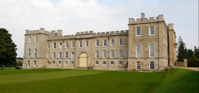
Kimbolton Castle
Kimbolton Castle is a country house in Kimbolton, Cambridgeshire, England. It was the final home of King Henry VIII's first wife, Catherine of Aragon....
Nearby Amenities
Located within 500m of 52.276794,-0.416246Have you been to Chadwell End?
Leave your review of Chadwell End below (or comments, questions and feedback).