Pertenhall
Settlement in Bedfordshire
England
Pertenhall
Pertenhall is a small village located in the county of Bedfordshire, England. Situated approximately 10 miles to the north-west of the market town of Bedford, Pertenhall is nestled amidst picturesque countryside and offers a tranquil and rural setting.
With a population of around 500 residents, Pertenhall retains a strong sense of community and boasts a rich history that dates back centuries. Evidence of its past can be seen in several historic buildings and structures that dot the village, including the Grade I listed Church of St. Peter, which dates back to the 12th century.
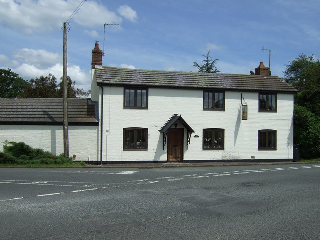
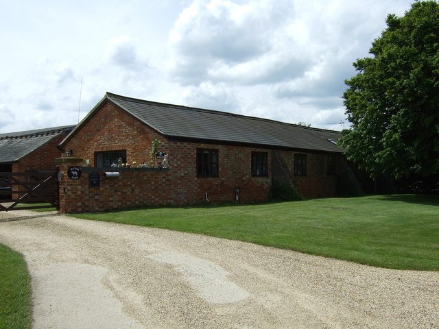
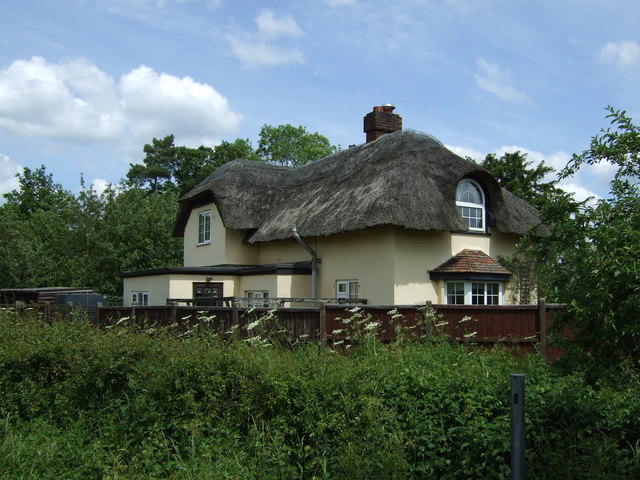
The village is primarily residential, with a mix of traditional stone cottages and more modern housing developments. Amenities in Pertenhall are limited, with a village hall that serves as a community hub for events and gatherings. However, more extensive amenities can be found in nearby towns such as Bedford and Kimbolton.
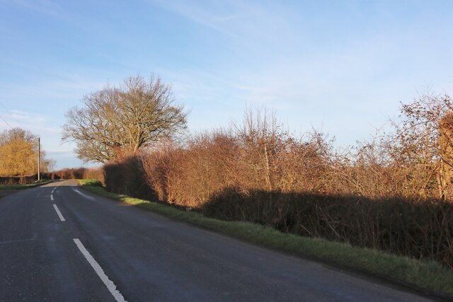
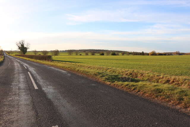
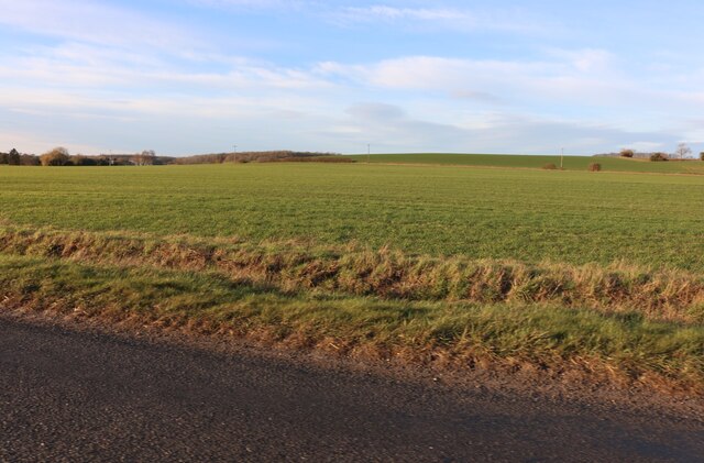
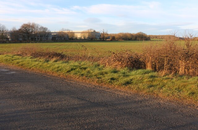
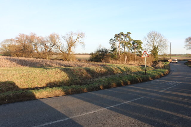
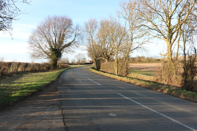
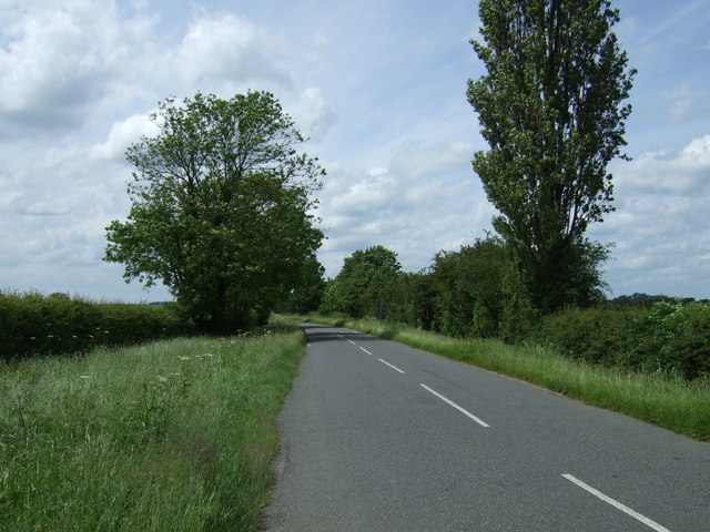
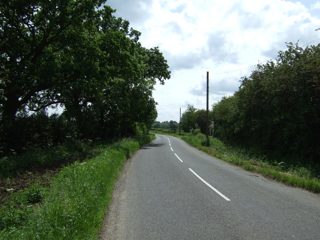
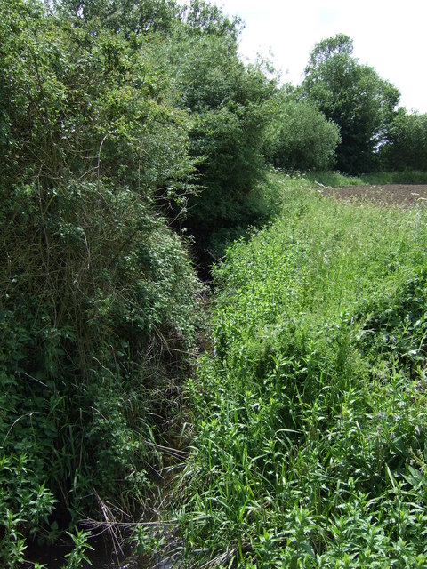
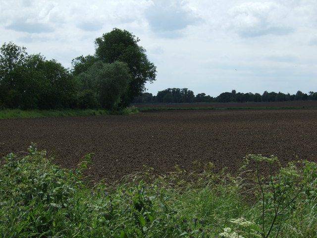
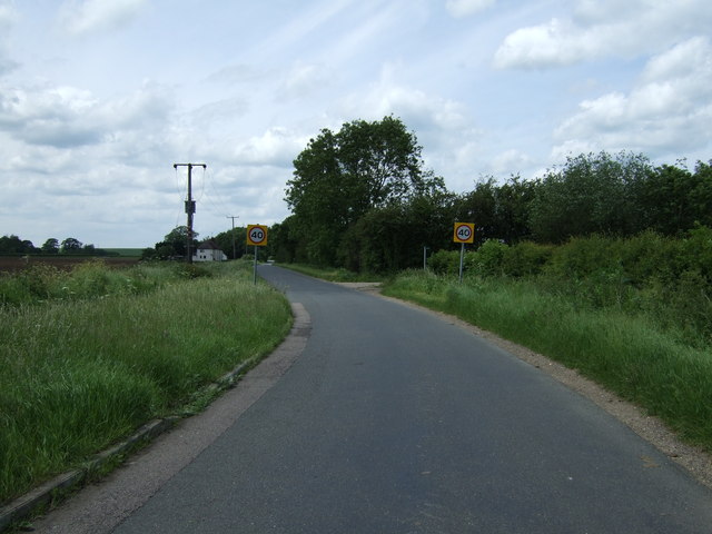
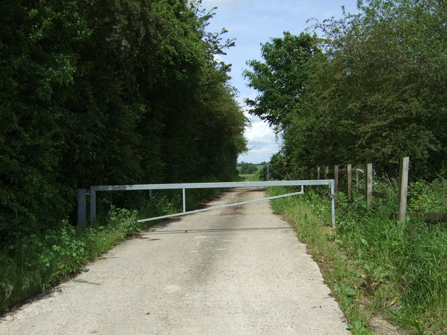
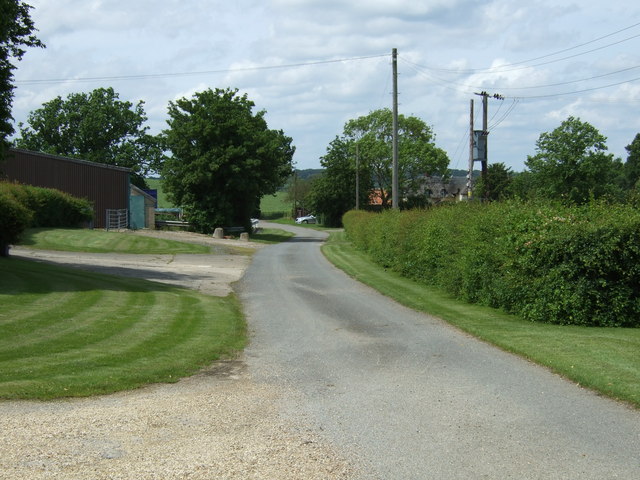
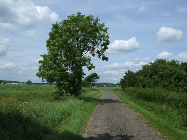
Pertenhall is surrounded by beautiful countryside, providing ample opportunities for outdoor activities and exploration. The village is located near several walking and cycling routes, allowing residents and visitors to enjoy the natural beauty of the area.
Overall, Pertenhall offers a peaceful and idyllic retreat from the hustle and bustle of city life. Its quaint charm, historic landmarks, and stunning surroundings make it an attractive destination for those seeking a rural escape in the heart of Bedfordshire.
If you have any feedback on the listing, please let us know in the comments section below.
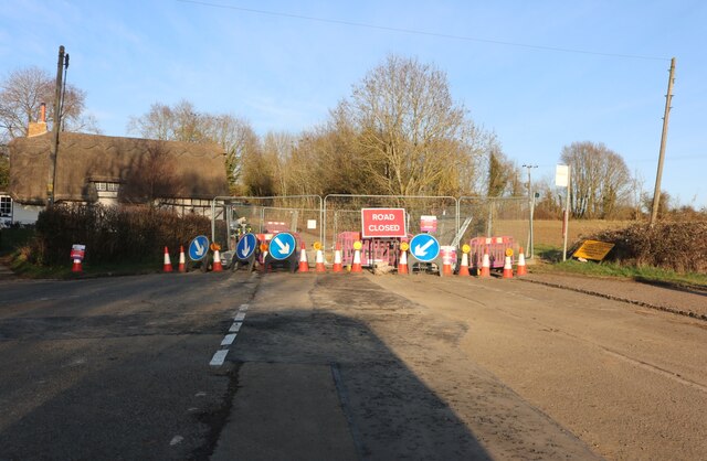
Pertenhall Images
Images are sourced within 2km of 52.27461/-0.413657 or Grid Reference TL0865. Thanks to Geograph Open Source API. All images are credited.
Pertenhall is located at Grid Ref: TL0865 (Lat: 52.27461, Lng: -0.413657)
Unitary Authority: Bedford
Police Authority: Bedfordshire
What 3 Words
///robe.staples.escorting. Near Pertenhall, Bedfordshire
Nearby Locations
Related Wikis

Church of St Peter, Pertenhall
Church of St Peter is a Grade I listed church in Pertenhall, Bedfordshire, England. It became a listed building on 13 July 1964. == See also == Grade...

Pertenhall
Pertenhall is a small village and civil parish located in Bedfordshire, close to the borders of Cambridgeshire and Northamptonshire. Its parish council...

Church of St Nicholas, Swineshead, Bedfordshire
Church of St Nicholas is a Grade I listed church in Swineshead, Bedfordshire, England. It became a listed building on 13 July 1964.It is a 14th-century...

Swineshead, Bedfordshire
Swineshead is a village and civil parish in the Borough of Bedford in the county of Bedfordshire, England. == History == The parish of Swineshead is recorded...
Nearby Amenities
Located within 500m of 52.27461,-0.413657Have you been to Pertenhall?
Leave your review of Pertenhall below (or comments, questions and feedback).