Pertenhall
Civil Parish in Bedfordshire
England
Pertenhall
Pertenhall is a small civil parish located in the county of Bedfordshire, England. It is situated in the eastern part of the county, approximately 12 miles north of the town of Bedford. The parish covers an area of around 1,400 acres and is bordered by the parishes of Swineshead, Little Staughton, Yielden, and Keysoe.
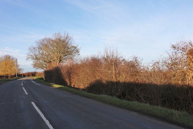
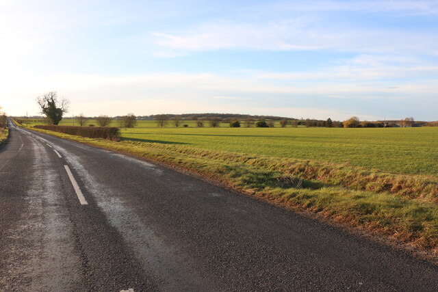
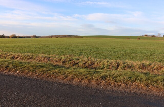
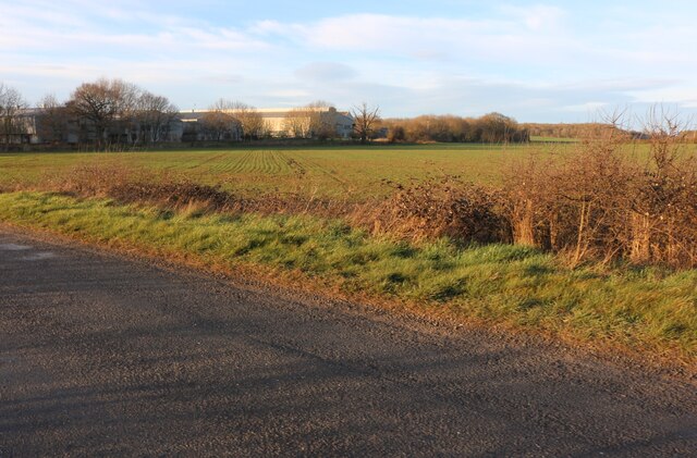
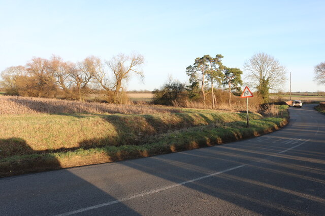
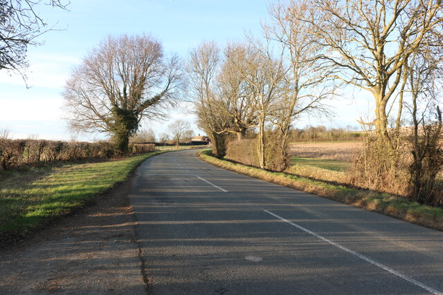
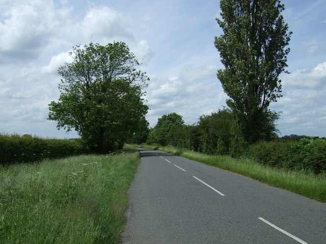
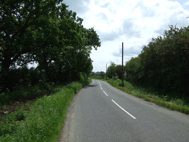
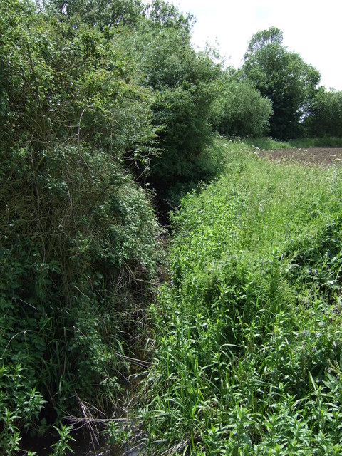
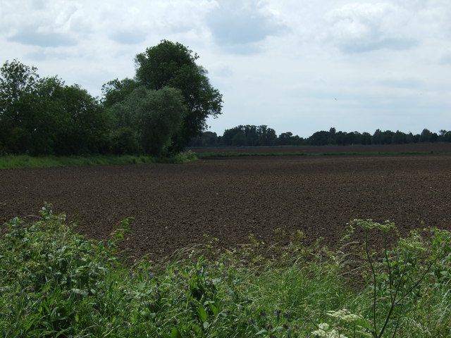
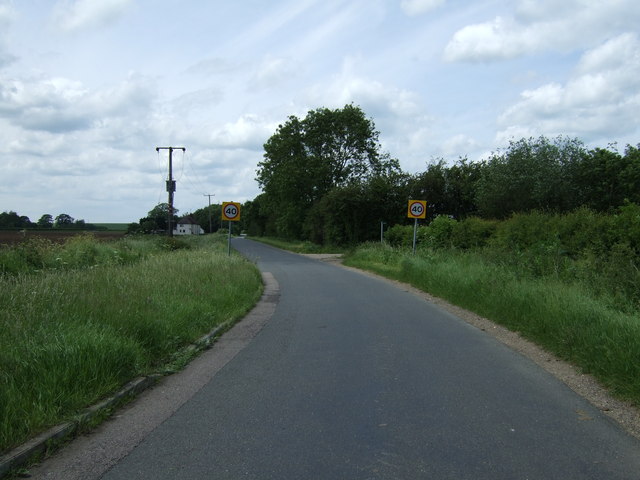
The village of Pertenhall itself is home to a close-knit community and has a population of around 300 residents. It is a predominantly rural area, characterized by picturesque countryside, rolling hills, and farmland. The landscape offers beautiful views and opportunities for outdoor activities such as walking, cycling, and horse riding.
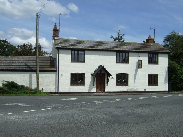
The village has a rich history, with evidence of human habitation in the area dating back to prehistoric times. Pertenhall is mentioned in the Domesday Book of 1086, where it is recorded as "Pertenhale." The village has several historic buildings, including St. Peter's Church, which dates back to the 13th century.
In terms of amenities, Pertenhall has a village hall that serves as a hub for community activities and events. There is also a primary school located in the neighboring village of Swineshead, which caters to the educational needs of the local children.
Overall, Pertenhall offers a peaceful and idyllic setting for those seeking a rural lifestyle away from the hustle and bustle of larger towns and cities.
If you have any feedback on the listing, please let us know in the comments section below.
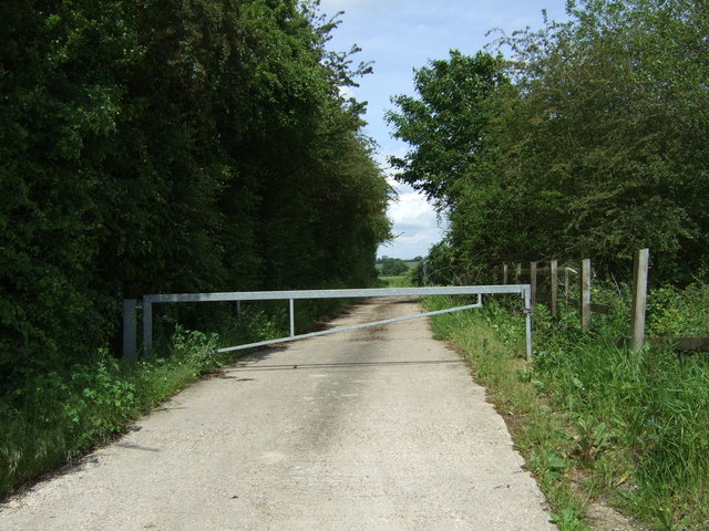
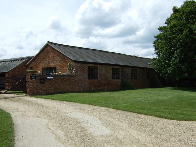
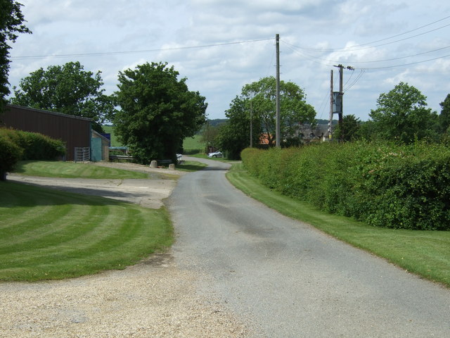
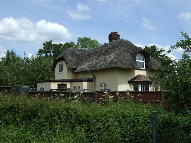
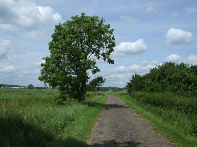
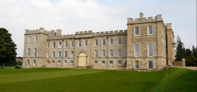
Pertenhall Images
Images are sourced within 2km of 52.277044/-0.406753 or Grid Reference TL0865. Thanks to Geograph Open Source API. All images are credited.
Pertenhall is located at Grid Ref: TL0865 (Lat: 52.277044, Lng: -0.406753)
Unitary Authority: Bedford
Police Authority: Bedfordshire
What 3 Words
///crowds.commuted.reservoir. Near Pertenhall, Bedfordshire
Nearby Locations
Related Wikis

Church of St Peter, Pertenhall
Church of St Peter is a Grade I listed church in Pertenhall, Bedfordshire, England. It became a listed building on 13 July 1964. == See also == Grade...

Pertenhall
Pertenhall is a small village and civil parish located in Bedfordshire, close to the borders of Cambridgeshire and Northamptonshire. Its parish council...
Kimbolton School
Kimbolton School is a British HMC co-educational private boarding and day school in the village of Kimbolton, Cambridgeshire, England. There are 1, 000...

Kimbolton Castle
Kimbolton Castle is a country house in Kimbolton, Cambridgeshire, England. It was the final home of King Henry VIII's first wife, Catherine of Aragon....
Nearby Amenities
Located within 500m of 52.277044,-0.406753Have you been to Pertenhall?
Leave your review of Pertenhall below (or comments, questions and feedback).