Persondy
Settlement in Monmouthshire
Wales
Persondy
Persondy is a small village located in Monmouthshire, Wales. Situated in the southeastern part of the county, it lies approximately 3 miles northeast of the town of Abergavenny. Nestled within the beautiful countryside, Persondy offers its residents and visitors a peaceful and scenic environment.
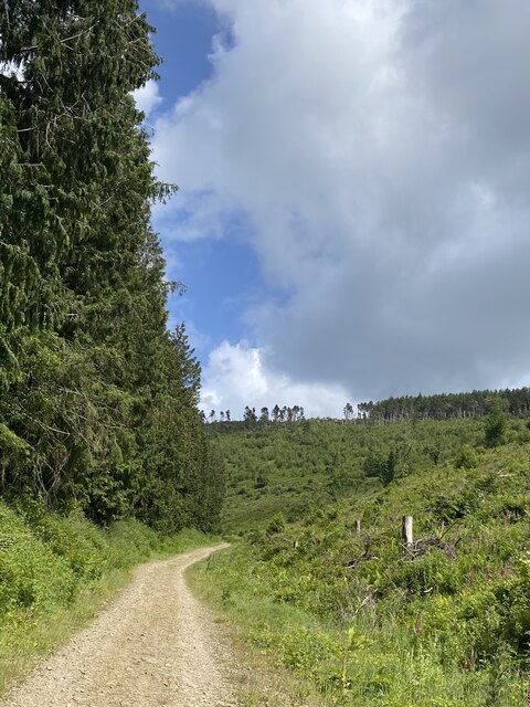
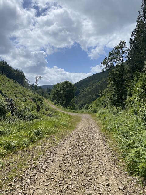
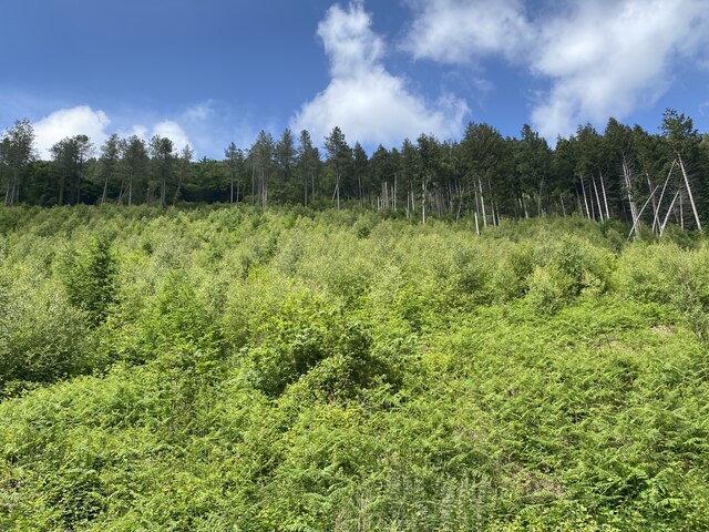
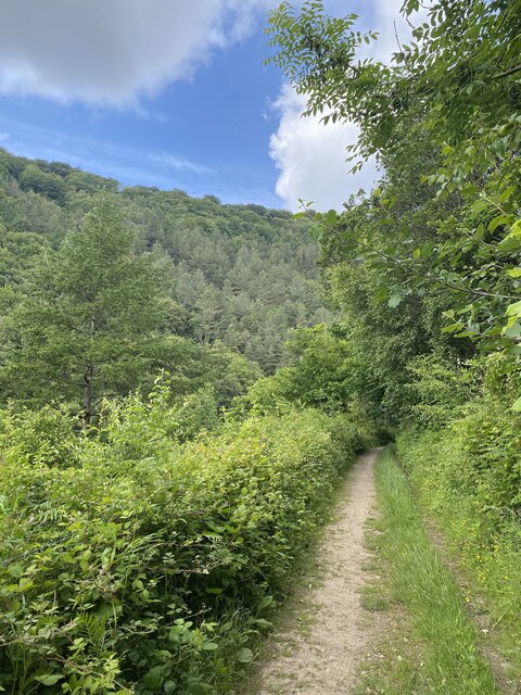
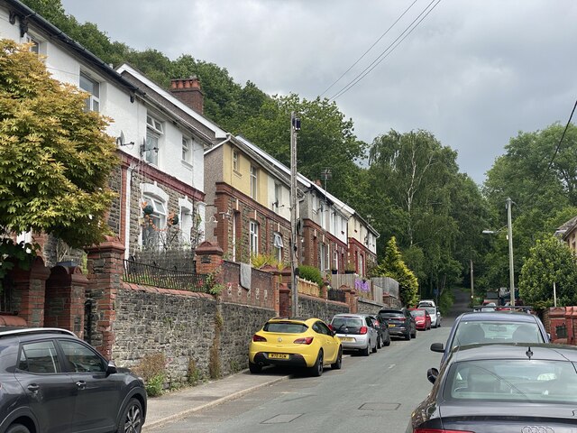
The village is known for its charming rural character, with a cluster of traditional stone houses and cottages. Surrounded by rolling hills and lush green fields, it provides an idyllic setting for those seeking a tranquil escape from urban life. The nearby River Usk adds to the village's natural beauty, offering opportunities for fishing and riverside walks.
Though small in size, Persondy benefits from its proximity to Abergavenny, which provides a range of amenities and services. Abergavenny boasts a variety of shops, supermarkets, restaurants, and pubs, ensuring that residents have easy access to everyday essentials.
For those interested in outdoor activities, Persondy is a great base to explore the surrounding countryside. The area offers numerous hiking and cycling trails, allowing nature enthusiasts to immerse themselves in the stunning landscapes of Monmouthshire. Additionally, the village is within reach of the Brecon Beacons National Park, a renowned area of natural beauty that attracts visitors from far and wide.
In summary, Persondy is a picturesque village in Monmouthshire, Wales, offering a peaceful and scenic retreat for residents and visitors alike. Its rural charm, proximity to amenities, and access to stunning natural landscapes make it a desirable place to live or explore.
If you have any feedback on the listing, please let us know in the comments section below.
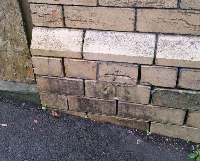
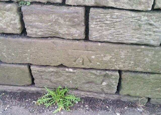
Persondy Images
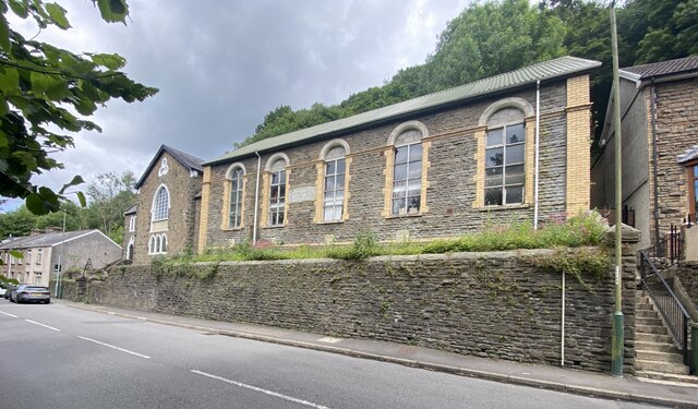
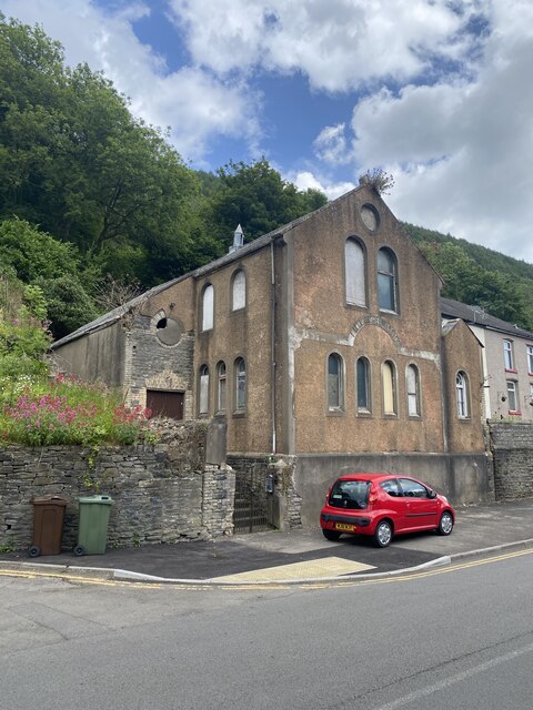
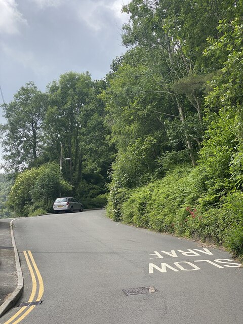
Images are sourced within 2km of 51.652972/-3.131081 or Grid Reference ST2195. Thanks to Geograph Open Source API. All images are credited.

Persondy is located at Grid Ref: ST2195 (Lat: 51.652972, Lng: -3.131081)
Unitary Authority: Caerphilly
Police Authority: Gwent
What 3 Words
///altering.node.engages. Near Abercarn, Caerphilly
Nearby Locations
Related Wikis

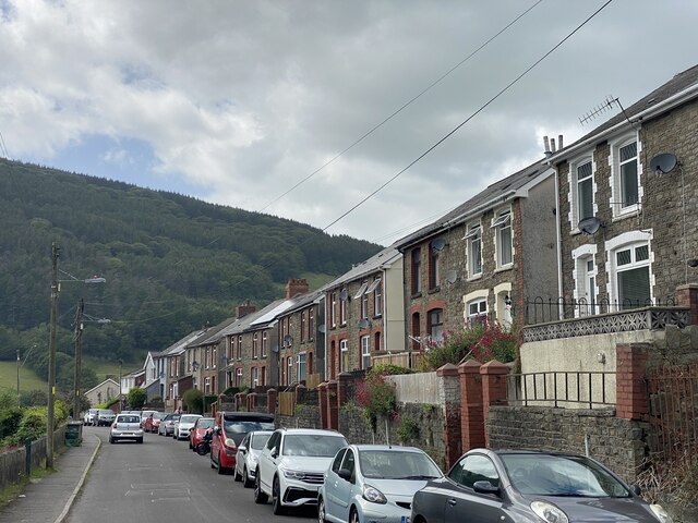
Abercarn
Abercarn is a town and community in Caerphilly county borough, Wales. It is 10 miles (16 km) northwest of Newport on the A467 between Cwmcarn and Newbridge...
Abercarn railway station
Abercarn railway station served the village of Abercarn, in the county of Monmouthshire. == History == The station was opened by the Monmouthshire Railway...
Abercarn colliery disaster
The Abercarn colliery disaster was a catastrophic explosion within the Prince of Wales Colliery in the Welsh village of Abercarn (then in the county of...
Pwll-y-Pant railway station
Pwll-y-Pant railway station served the suburb of Pwll-y-Pant, in the historical county of Glamorgan, Wales, from 1871 to 1893 on the Rhymney Railway....

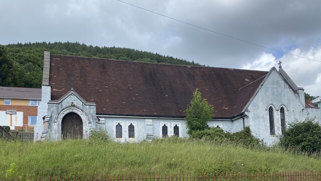
English Baptist Church, Abercarn
The English Baptist Church is a Grade II-listed Baptist church in the town of Abercarn, Caerphilly, Wales. It was built in the mid-nineteenth century to...
Abercarn United A.F.C.
Abercarn United Football Club is a Welsh football team based in Abercarn, Caerphilly county borough, Wales. They currently play in the Ardal SE, the...

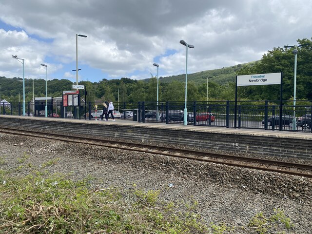
Newbridge railway station (Wales)
Newbridge railway station (Welsh: Trecelyn) is on the Ebbw Valley Railway and serves the towns of Newbridge and Blackwood in south east Wales. The current...

Newbridge, Caerphilly
Newbridge (Welsh: Trecelyn) is a town and community in the county borough of Caerphilly, south Wales. It lies within the historic boundaries of the county...
Nearby Amenities
Located within 500m of 51.652972,-3.131081Have you been to Persondy?
Leave your review of Persondy below (or comments, questions and feedback).