Coed Ffordd-fawr
Wood, Forest in Monmouthshire
Wales
Coed Ffordd-fawr
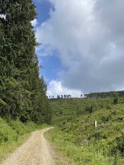
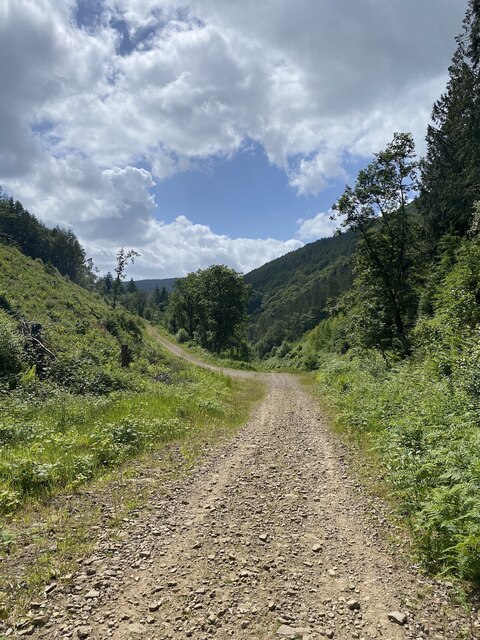
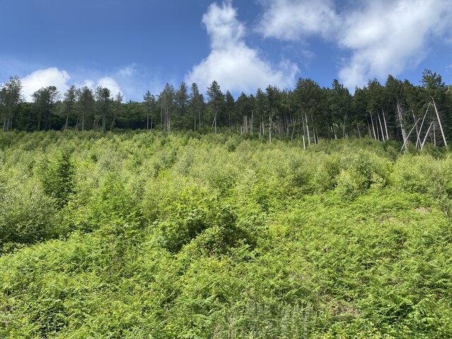
Coed Ffordd-fawr is a picturesque woodland located in Monmouthshire, Wales. Situated near the town of Usk, this woodland covers an area of approximately 50 acres and is known for its natural beauty and rich biodiversity.
The woodland is predominantly made up of native broadleaf trees such as oak, beech, and ash, creating a diverse and thriving ecosystem. The dense canopy provides a sheltered habitat for a wide range of wildlife, including birds, mammals, and insects. Visitors to Coed Ffordd-fawr can often spot species such as woodpeckers, red kites, and deer.
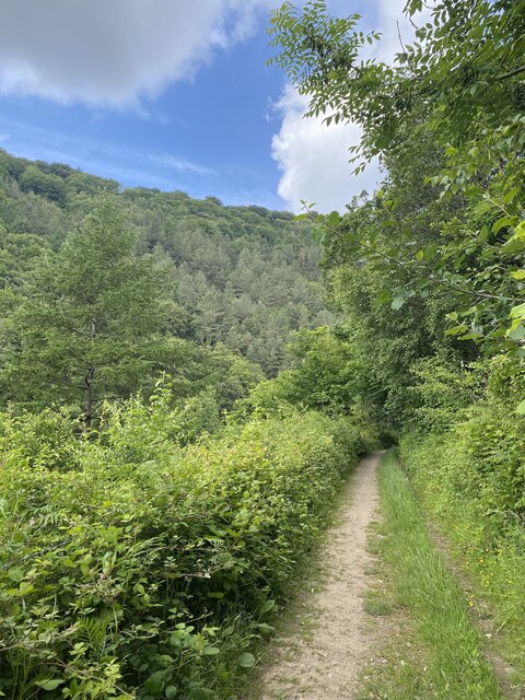
Tranquil walking trails wind their way through the woodland, allowing visitors to explore and appreciate the natural surroundings. The paths are well-maintained and offer a peaceful escape from the hustle and bustle of everyday life.
Coed Ffordd-fawr is also home to a variety of wildflowers and plants, which add bursts of color throughout the seasons. Bluebells, primroses, and foxgloves are just a few examples of the vibrant flora that can be found here.
The woodland is managed by a local conservation organization, which ensures the preservation and protection of the natural environment. Educational programs and guided walks are offered to the public, promoting awareness and understanding of the importance of conservation.
Overall, Coed Ffordd-fawr is a stunning woodland that offers visitors a chance to immerse themselves in nature, appreciate the beauty of the Welsh countryside, and learn about the importance of preserving our natural heritage.
If you have any feedback on the listing, please let us know in the comments section below.
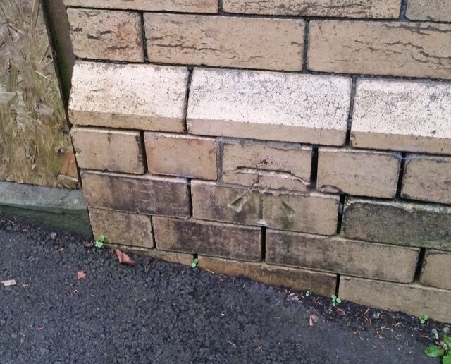
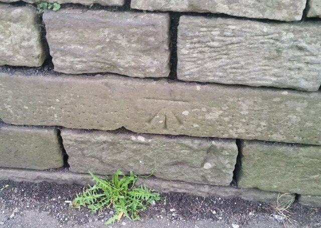
Coed Ffordd-fawr Images
Images are sourced within 2km of 51.651226/-3.1302027 or Grid Reference ST2195. Thanks to Geograph Open Source API. All images are credited.

Coed Ffordd-fawr is located at Grid Ref: ST2195 (Lat: 51.651226, Lng: -3.1302027)
Unitary Authority: Caerphilly
Police Authority: Gwent
What 3 Words
///received.giggled.elevates. Near Abercarn, Caerphilly
Nearby Locations
Related Wikis

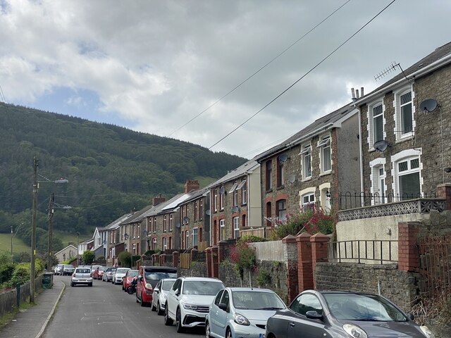
Abercarn
Abercarn is a town and community in Caerphilly county borough, Wales. It is 10 miles (16 km) northwest of Newport on the A467 between Cwmcarn and Newbridge...
Abercarn colliery disaster
The Abercarn colliery disaster was a catastrophic explosion within the Prince of Wales Colliery in the Welsh village of Abercarn (then in the county of...
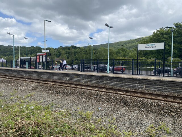
Abercarn railway station
Abercarn railway station served the village of Abercarn, in the county of Monmouthshire. == History == The station was opened by the Monmouthshire Railway...

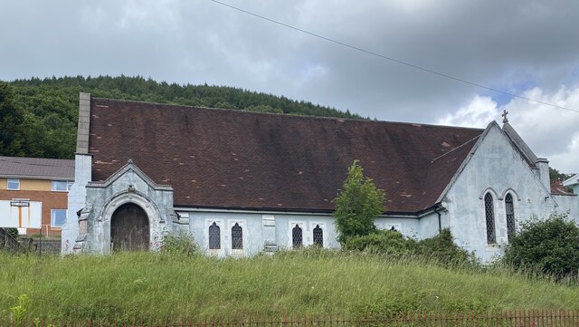
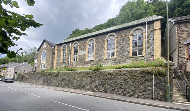
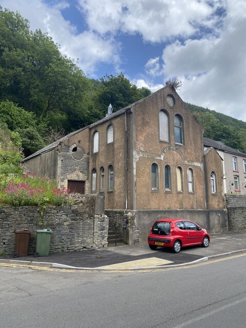
English Baptist Church, Abercarn
The English Baptist Church is a Grade II-listed Baptist church in the town of Abercarn, Caerphilly, Wales. It was built in the mid-nineteenth century to...
Nearby Amenities
Located within 500m of 51.651226,-3.1302027Have you been to Coed Ffordd-fawr?
Leave your review of Coed Ffordd-fawr below (or comments, questions and feedback).