End, West

Settlement in Monmouthshire

Wales

End, West

Caerbryn, Pentwynmawr Caerbryn ascends away from the north side of Coed Duon View.
Caerbryn, Pentwynmawr Credit: Jaggery

End, West, Monmouthshire is a small village located in the southern part of Wales, United Kingdom. Situated near the border with England, it lies within the county of Monmouthshire and is part of the community of Llanfihangel Rogiet. The village is nestled in the picturesque countryside, surrounded by rolling hills and lush green fields.

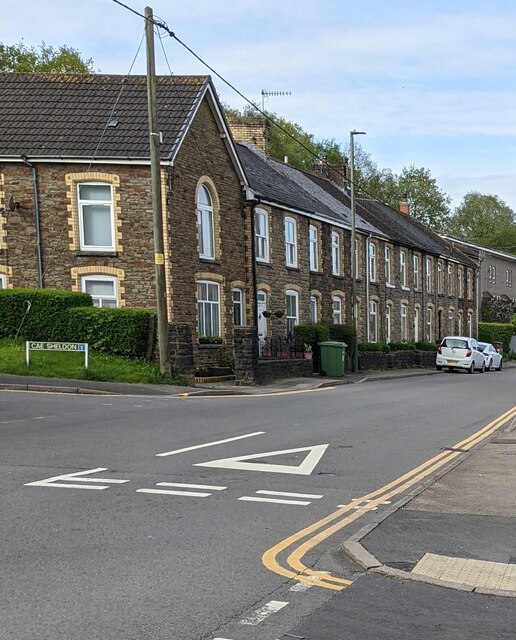
End is a quintessential rural village, characterized by its peaceful and tranquil atmosphere. It is home to a close-knit community, with a population of around 200 residents. The village retains its traditional charm, with a scattering of stone houses and a quaint village church standing as testaments to its historical roots.

The village is relatively secluded, with limited amenities available locally. However, the nearby town of Chepstow, situated approximately 6 miles away, provides residents with a wider range of services, including shops, schools, and medical facilities.

End is blessed with natural beauty, making it an attractive destination for outdoor enthusiasts. The surrounding countryside offers ample opportunities for hiking, cycling, and exploring the stunning Welsh landscape. The nearby River Severn also provides a scenic backdrop for leisurely walks and fishing.

Transport links in End are relatively limited, with the village being served by a few bus routes. The nearest railway station is located in Chepstow, providing connections to larger towns and cities in the region.

In summary, End, West, Monmouthshire is a peaceful and picturesque village, offering a tranquil lifestyle amidst stunning natural surroundings.

If you have any feedback on the listing, please let us know in the comments section below.
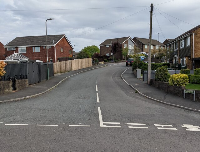
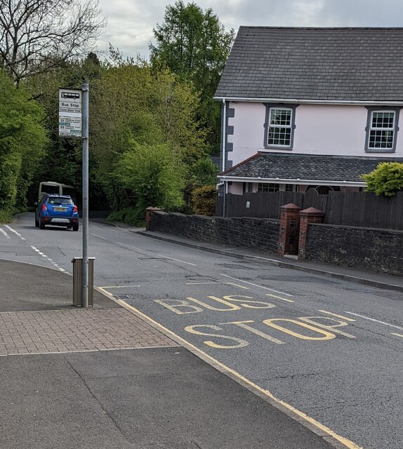
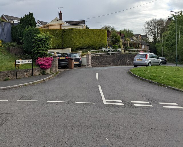
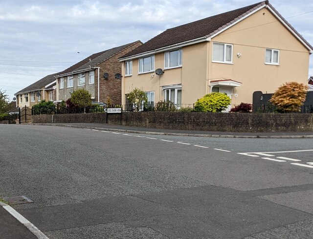
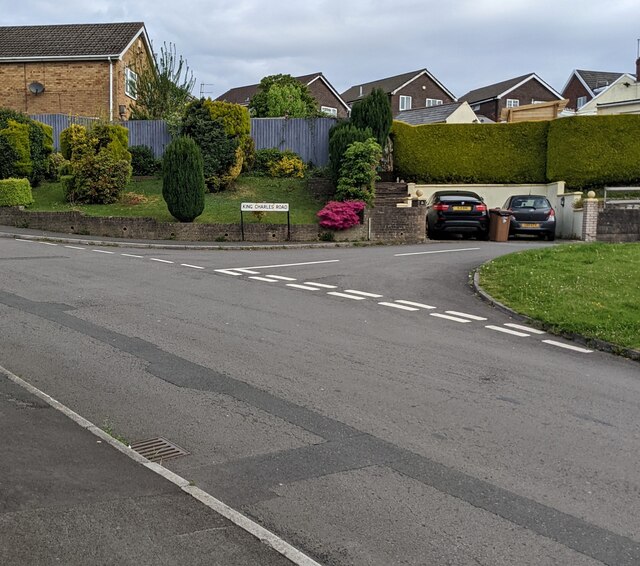
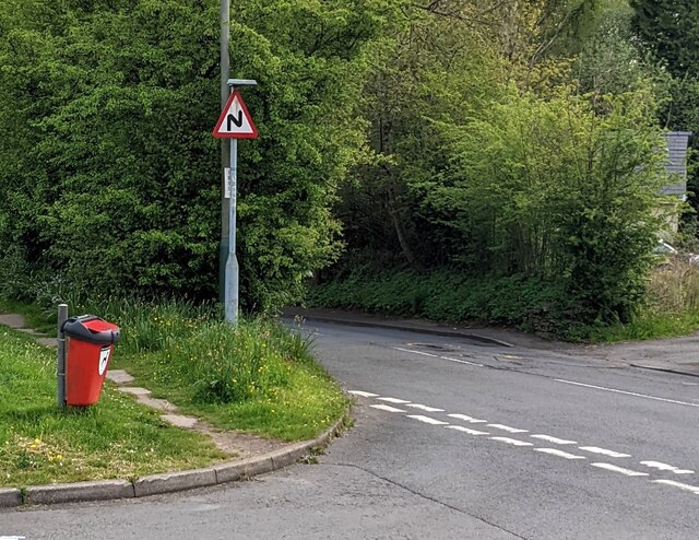
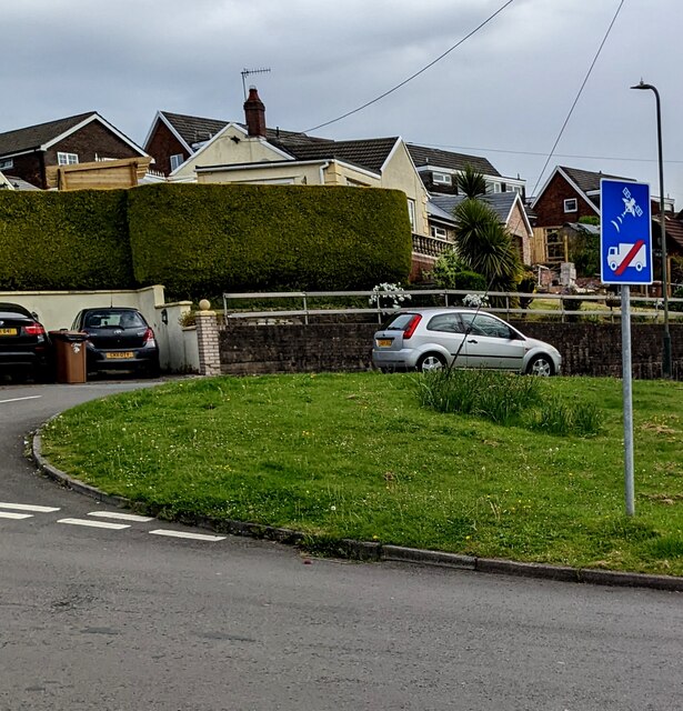
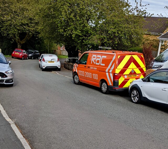
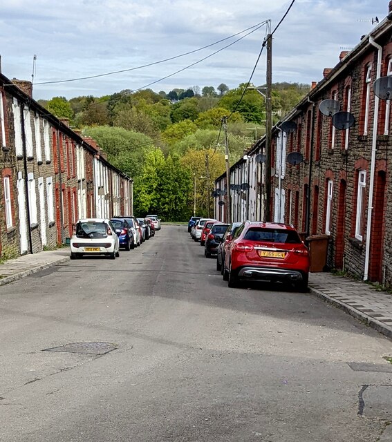
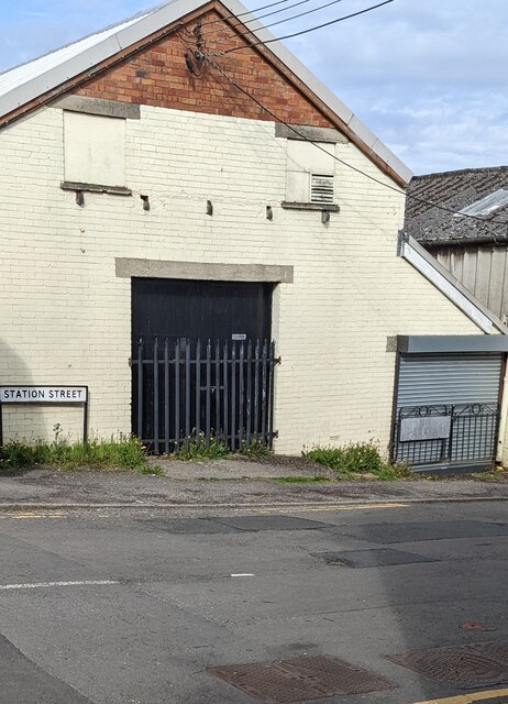
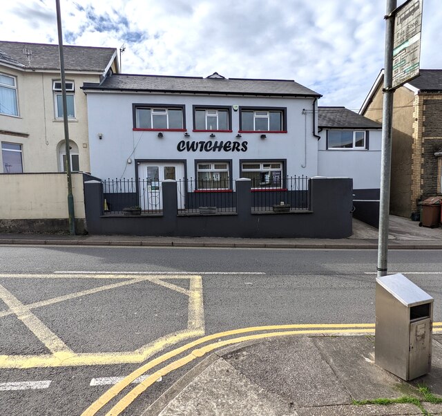
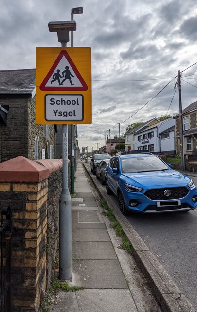
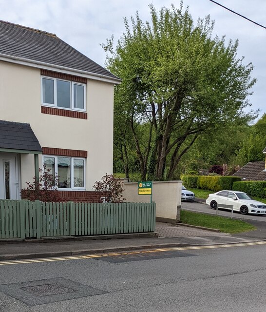
End, West Images

Images are sourced within 2km of 51.651523/-3.141452 or Grid Reference ST2195. Thanks to Geograph Open Source API. All images are credited.

Caerbryn, Pentwynmawr Caerbryn ascends away from the north side of Coed Duon View.
Caerbryn, Pentwynmawr
Caerbryn ascends away from the north side of Coed Duon View.
Coed Duon View bus stop, Pentwynmawr Alongside High Street near the corner of Coed Duon View. In May 2022 this is a stop on Stagecoach bus route 151 to Newport and route 21 to Cwmbran.
Coed Duon View bus stop, Pentwynmawr
Alongside High Street near the corner of Coed Duon View. In May 2022 this is a stop on Stagecoach bus route 151 to Newport and route 21 to Cwmbran.
King Charles Road, Pentwynmawr Viewed across Coed Duon View.
King Charles Road, Pentwynmawr
Viewed across Coed Duon View.
Coed Duon View houses, Pentwynmawr The Caerbryn junction is on the right.
Coed Duon View houses, Pentwynmawr
The Caerbryn junction is on the right.
Junction of Coed Duon View and King Charles Road, Pentwynmawr Viewed across Coed Duon View in May 2022.
Junction of Coed Duon View and King Charles Road, Pentwynmawr
Viewed across Coed Duon View in May 2022.
Red bin for dog waste, Pentwynmawr Near the corner of Coed Duon View and High Street.
Red bin for dog waste, Pentwynmawr
Near the corner of Coed Duon View and High Street.
Ignore satnav sign, Coed Duon View, Pentwynmawr On a pole on grass near the corner of King Charles Road.
Ignore satnav sign, Coed Duon View, Pentwynmawr
On a pole on grass near the corner of King Charles Road.
Orange RAC van, Pentwynmawr Parked on the Coed Duon View roadway in May 2022.
Orange RAC van, Pentwynmawr
Parked on the Coed Duon View roadway in May 2022.
Down Station Street, Pentwynmawr Station Street houses and cars viewed in May 2022. High Street is behind the camera. Passenger services at Pentwynmawr Halt station ended in 1964.
Down Station Street, Pentwynmawr
Station Street houses and cars viewed in May 2022. High Street is behind the camera. Passenger services at Pentwynmawr Halt station ended in 1964.
Station Street name sign, Pentwynmawr On the corner of High Street.
Station Street name sign, Pentwynmawr
On the corner of High Street.
Cwtchers, High Street, Pentwynmawr Family-owned village pub opposite Fox Avenue viewed in May 2022. 
Pentwynmawr Sports Bar <a title="https://www.geograph.org.uk/photo/2017385" href="https://www.geograph.org.uk/photo/2017385">Link</a> was here in 2010.
Cwtchers, High Street, Pentwynmawr
Family-owned village pub opposite Fox Avenue viewed in May 2022. Pentwynmawr Sports Bar Link was here in 2010.
Row of stone houses, High Street, Pentwynmawr The Cae Sheldon junction is on the left.
Row of stone houses, High Street, Pentwynmawr
The Cae Sheldon junction is on the left.
Bilingual Priority sign, High Street, Pentwynmawr English / Welsh sign facing westbound traffic.
Bilingual Priority sign, High Street, Pentwynmawr
English / Welsh sign facing westbound traffic.
Three-axle dark blue vehicle, High Street, Pentwynmawr Parked on the corner of Station Street in May 2022.
Three-axle dark blue vehicle, High Street, Pentwynmawr
Parked on the corner of Station Street in May 2022.
Two red Biffa wheelie bins, High Street, Pentwynmawr The bin near the road is for mixed recyclables.
The other Biffa bin is for general waste.
Two red Biffa wheelie bins, High Street, Pentwynmawr
The bin near the road is for mixed recyclables. The other Biffa bin is for general waste.
Arnold Clark van, High Street, Pentwynmawr Established in 1954, Arnold Clark Car & Van Rental has expanded from a single-car showroom in Glasgow to a UK-wide organisation.
Arnold Clark van, High Street, Pentwynmawr
Established in 1954, Arnold Clark Car & Van Rental has expanded from a single-car showroom in Glasgow to a UK-wide organisation.
Bilingual warning sign, High Street, Pentwynmawr On the approach to a school (ysgol in Welsh).
Bilingual warning sign, High Street, Pentwynmawr
On the approach to a school (ysgol in Welsh).
Plaid Cymru placard, High Street, Pentwynmawr The placard showing "Plaid Cymru / Party of Wales" is outside a High Street house near the corner of Cae Sheldon on Thursday May 5th 2022. Elections to all wards in all Welsh county & county borough councils and town & community councils are taking place today.
Plaid Cymru placard, High Street, Pentwynmawr
The placard showing "Plaid Cymru / Party of Wales" is outside a High Street house near the corner of Cae Sheldon on Thursday May 5th 2022. Elections to all wards in all Welsh county & county borough councils and town & community councils are taking place today.
Show me another place!

End, West is located at Grid Ref: ST2195 (Lat: 51.651523, Lng: -3.141452)

Unitary Authority: Caerphilly

Police Authority: Gwent

What 3 Words

///driver.chest.fractions. Near Abercarn, Caerphilly

Related Wikis

Abercarn railway station

Abercarn railway station served the village of Abercarn, in the county of Monmouthshire. == History == The station was opened by the Monmouthshire Railway...

Abercarn

Abercarn is a town and community in Caerphilly county borough, Wales. It is 10 miles (16 km) northwest of Newport on the A467 between Cwmcarn and Newbridge...

Abercarn colliery disaster

The Abercarn colliery disaster was a catastrophic explosion within the Prince of Wales Colliery in the Welsh village of Abercarn (then in the county of...

Pwll-y-Pant railway station

Pwll-y-Pant railway station served the suburb of Pwll-y-Pant, in the historical county of Glamorgan, Wales, from 1871 to 1893 on the Rhymney Railway....

Islwyn

The Borough of Islwyn was one of five local government districts of Gwent from 1974 to 1996. == History == The borough was formed in 1974 as a local government...

English Baptist Church, Abercarn

The English Baptist Church is a Grade II-listed Baptist church in the town of Abercarn, Caerphilly, Wales. It was built in the mid-nineteenth century to...

Abercarn United A.F.C.

Abercarn United Football Club is a Welsh football team based in Abercarn, Caerphilly county borough, Wales. They currently play in the Ardal SE, the...

Newbridge railway station (Wales)

Newbridge railway station (Welsh: Trecelyn) is on the Ebbw Valley Railway and serves the towns of Newbridge and Blackwood in south east Wales. The current...

Nearby Amenities

Located within 500m of 51.651523,-3.141452
Abercarn
Place: village
Population: 5352
Lat/Long: 51.6507238/-3.1344992
Traffic Signals
Traffic Signals: signal
Traffic Signals Direction: backward
Lat/Long: 51.6499615/-3.1385171
Abercarn
Historic Railway: station
Railway: site
Wikidata: Q4666796
Wikipedia: en:Abercarn railway station
Lat/Long: 51.6501564/-3.1378038
Traffic Signals
Traffic Signals: signal
Traffic Signals Direction: forward
Lat/Long: 51.6492212/-3.138052
Traffic Signals
Traffic Signals: signal
Traffic Signals Direction: backward
Lat/Long: 51.6497276/-3.138493
West End
Place: village
Lat/Long: 51.6504352/-3.1395055
Direction: WSW
Generator Method: photovoltaic
Generator Output Electricity: yes
Generator Solar Modules: 8
Generator Source: solar
Generator Type: solar_photovoltaic_panel
Location: roof
Power: generator
Lat/Long: 51.6482853/-3.1370399
Direction: WSW
Generator Method: photovoltaic
Generator Output Electricity: yes
Generator Solar Modules: 8
Generator Source: solar
Generator Type: solar_photovoltaic_panel
Location: roof
Power: generator
Lat/Long: 51.6483419/-3.1370768
Direction: WSW
Generator Method: photovoltaic
Generator Output Electricity: yes
Generator Solar Modules: 8
Generator Source: solar
Generator Type: solar_photovoltaic_panel
Location: roof
Power: generator
Lat/Long: 51.6483926/-3.1371103
Direction: SSE
Generator Method: photovoltaic
Generator Output Electricity: yes
Generator Solar Modules: 8
Generator Source: solar
Generator Type: solar_photovoltaic_panel
Location: roof
Power: generator
Lat/Long: 51.6513013/-3.1365055
Direction: 145
Generator Method: photovoltaic
Generator Output Electricity: yes
Generator Solar Modules: 10
Generator Source: solar
Generator Type: solar_photovoltaic_panel
Location: roof
Power: generator
Lat/Long: 51.6504583/-3.1398422
Direction: SSE
Generator Method: photovoltaic
Generator Output Electricity: yes
Generator Solar Modules: 14
Generator Source: solar
Generator Type: solar_photovoltaic_panel
Location: roof
Power: generator
Lat/Long: 51.6499807/-3.1387679
Direction: SSE
Generator Method: photovoltaic
Generator Output Electricity: yes
Generator Solar Modules: 8
Generator Source: solar
Generator Type: solar_photovoltaic_panel
Location: roof
Power: generator
Lat/Long: 51.6498467/-3.1393312
Direction: SSE
Generator Method: photovoltaic
Generator Output Electricity: yes
Generator Solar Modules: 12
Generator Source: solar
Generator Type: solar_photovoltaic_panel
Location: roof
Power: generator
Lat/Long: 51.6501455/-3.1393473
Direction: SSE
Generator Method: photovoltaic
Generator Output Electricity: yes
Generator Solar Modules: 8
Generator Source: solar
Generator Type: solar_photovoltaic_panel
Location: roof
Power: generator
Lat/Long: 51.6513254/-3.1378037
Direction: SSE
Generator Method: photovoltaic
Generator Output Electricity: yes
Generator Solar Modules: 8
Generator Source: solar
Generator Type: solar_photovoltaic_panel
Location: roof
Power: generator
Lat/Long: 51.6514284/-3.1374398
Direction: SSE
Generator Method: photovoltaic
Generator Output Electricity: yes
Generator Solar Modules: 8
Generator Source: solar
Generator Type: solar_photovoltaic_panel
Location: roof
Power: generator
Lat/Long: 51.6514469/-3.1373745
Direction: SE
Generator Method: photovoltaic
Generator Output Electricity: yes
Generator Solar Modules: 8
Generator Source: solar
Generator Type: solar_photovoltaic_panel
Location: roof
Power: generator
Lat/Long: 51.6521974/-3.1355828
Direction: 145
Generator Method: photovoltaic
Generator Output Electricity: yes
Generator Solar Modules: 8
Generator Source: solar
Generator Type: solar_photovoltaic_panel
Location: roof
Power: generator
Lat/Long: 51.6519494/-3.1359342
Shop: convenience
Lat/Long: 51.6506218/-3.1381014
The data included in this document is from www.openstreetmap.org. The data is made available under ODbL.

Have you been to End, West?

Leave your review of End, West below (or comments, questions and feedback).