Celynen

Settlement in Monmouthshire

Wales

Celynen

Caerbryn, Pentwynmawr Caerbryn ascends away from the north side of Coed Duon View.
Caerbryn, Pentwynmawr Credit: Jaggery

Celynen, also known as Cwm Celynen, is a small village located in Monmouthshire, Wales. Situated within the Celynen South ward, it lies approximately 8 miles north of the town of Pontypool and 15 miles north of Newport. The village is nestled within the beautiful scenery of the Cwm Celyn Valley, surrounded by lush green hills and countryside.

Celynen is known for its rich industrial heritage. In the 19th century, the area thrived with coal mining, and it was home to several collieries. The village grew rapidly during this period, attracting workers from nearby towns and villages. However, like many mining communities, Celynen faced challenges as the coal industry declined, leading to the closure of the last colliery in the 1980s.

Today, Celynen is a peaceful residential area with a close-knit community. The village has a primary school, providing education for the local children, and a community center that serves as a hub for various activities and events. The surrounding countryside offers plenty of opportunities for outdoor pursuits such as hiking, cycling, and horseback riding.

Celynen is well-connected to the neighboring towns and cities through road networks, allowing for easy access to amenities and facilities. The village offers a tranquil setting for those seeking a quieter lifestyle while still remaining within reach of urban conveniences.

Overall, Celynen is a picturesque village with a rich history, surrounded by stunning natural beauty, and cherished by its residents for its community spirit and peaceful atmosphere.

If you have any feedback on the listing, please let us know in the comments section below.
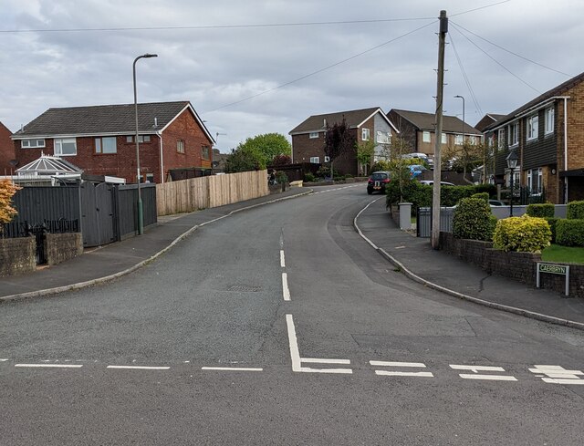
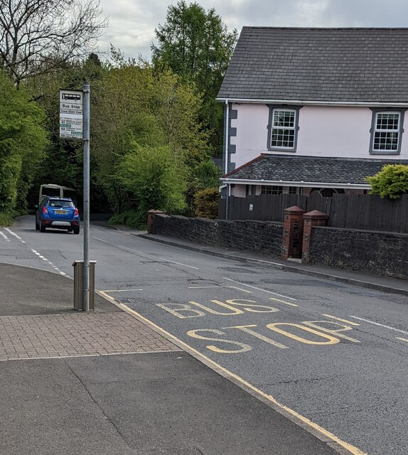
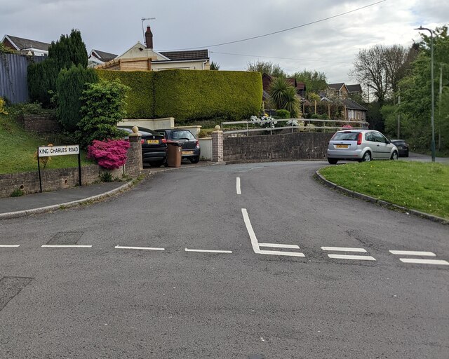
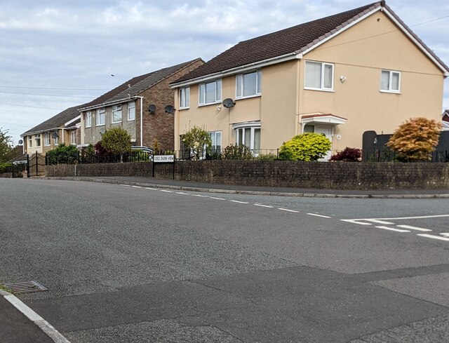
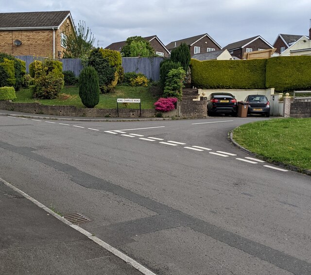
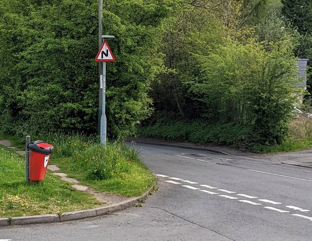
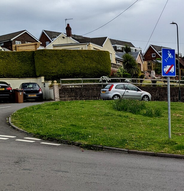
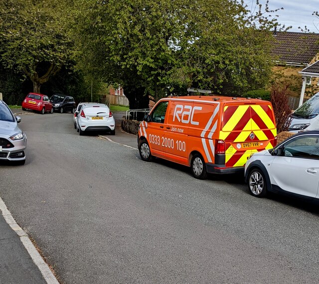
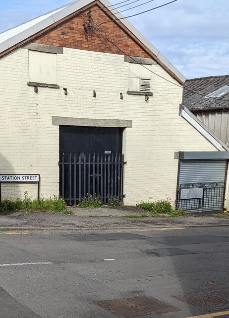
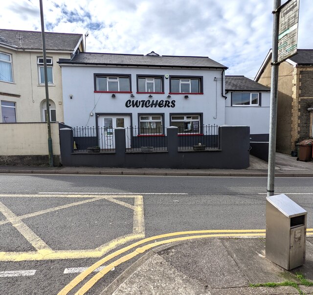
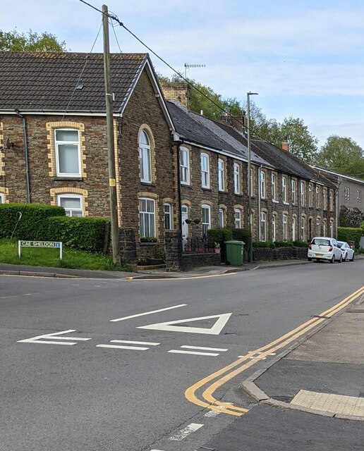
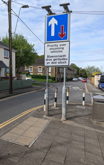
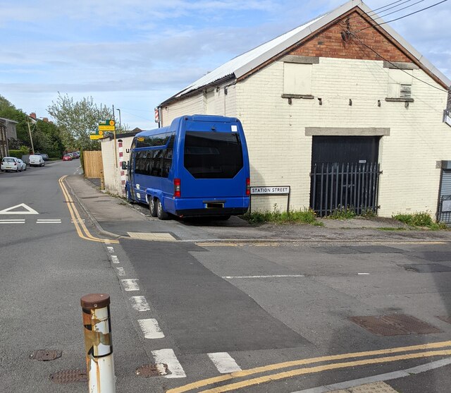
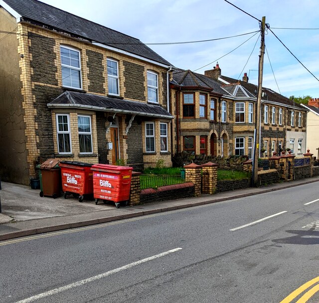
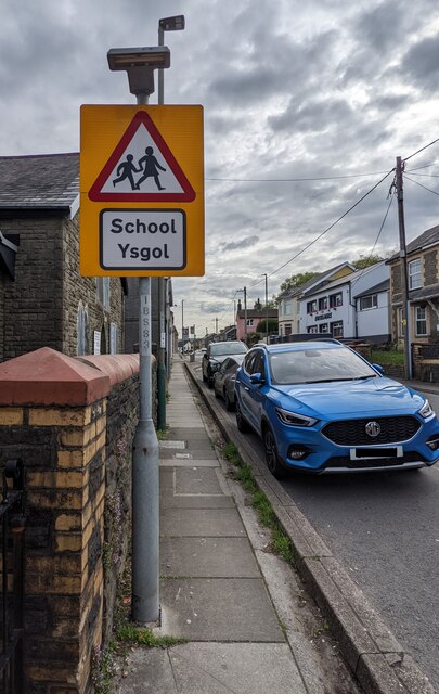
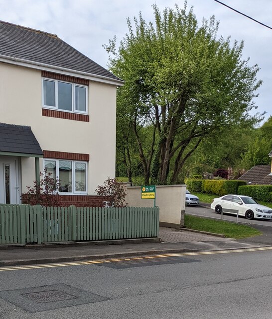
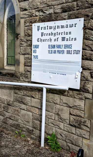
Celynen Images

Images are sourced within 2km of 51.657008/-3.138529 or Grid Reference ST2195. Thanks to Geograph Open Source API. All images are credited.

Caerbryn, Pentwynmawr Caerbryn ascends away from the north side of Coed Duon View.
Caerbryn, Pentwynmawr
Caerbryn ascends away from the north side of Coed Duon View.
Coed Duon View bus stop, Pentwynmawr Alongside High Street near the corner of Coed Duon View. In May 2022 this is a stop on Stagecoach bus route 151 to Newport and route 21 to Cwmbran.
Coed Duon View bus stop, Pentwynmawr
Alongside High Street near the corner of Coed Duon View. In May 2022 this is a stop on Stagecoach bus route 151 to Newport and route 21 to Cwmbran.
King Charles Road, Pentwynmawr Viewed across Coed Duon View.
King Charles Road, Pentwynmawr
Viewed across Coed Duon View.
Coed Duon View houses, Pentwynmawr The Caerbryn junction is on the right.
Coed Duon View houses, Pentwynmawr
The Caerbryn junction is on the right.
Junction of Coed Duon View and King Charles Road, Pentwynmawr Viewed across Coed Duon View in May 2022.
Junction of Coed Duon View and King Charles Road, Pentwynmawr
Viewed across Coed Duon View in May 2022.
Red bin for dog waste, Pentwynmawr Near the corner of Coed Duon View and High Street.
Red bin for dog waste, Pentwynmawr
Near the corner of Coed Duon View and High Street.
Ignore satnav sign, Coed Duon View, Pentwynmawr On a pole on grass near the corner of King Charles Road.
Ignore satnav sign, Coed Duon View, Pentwynmawr
On a pole on grass near the corner of King Charles Road.
Orange RAC van, Pentwynmawr Parked on the Coed Duon View roadway in May 2022.
Orange RAC van, Pentwynmawr
Parked on the Coed Duon View roadway in May 2022.
Station Street name sign, Pentwynmawr On the corner of High Street.
Station Street name sign, Pentwynmawr
On the corner of High Street.
Cwtchers, High Street, Pentwynmawr Family-owned village pub opposite Fox Avenue viewed in May 2022. 
Pentwynmawr Sports Bar <a title="https://www.geograph.org.uk/photo/2017385" href="https://www.geograph.org.uk/photo/2017385">Link</a> was here in 2010.
Cwtchers, High Street, Pentwynmawr
Family-owned village pub opposite Fox Avenue viewed in May 2022. Pentwynmawr Sports Bar Link was here in 2010.
Row of stone houses, High Street, Pentwynmawr The Cae Sheldon junction is on the left.
Row of stone houses, High Street, Pentwynmawr
The Cae Sheldon junction is on the left.
Bilingual Priority sign, High Street, Pentwynmawr English / Welsh sign facing westbound traffic.
Bilingual Priority sign, High Street, Pentwynmawr
English / Welsh sign facing westbound traffic.
Three-axle dark blue vehicle, High Street, Pentwynmawr Parked on the corner of Station Street in May 2022.
Three-axle dark blue vehicle, High Street, Pentwynmawr
Parked on the corner of Station Street in May 2022.
Two red Biffa wheelie bins, High Street, Pentwynmawr The bin near the road is for mixed recyclables.
The other Biffa bin is for general waste.
Two red Biffa wheelie bins, High Street, Pentwynmawr
The bin near the road is for mixed recyclables. The other Biffa bin is for general waste.
Arnold Clark van, High Street, Pentwynmawr Established in 1954, Arnold Clark Car & Van Rental has expanded from a single-car showroom in Glasgow to a UK-wide organisation.
Arnold Clark van, High Street, Pentwynmawr
Established in 1954, Arnold Clark Car & Van Rental has expanded from a single-car showroom in Glasgow to a UK-wide organisation.
Bilingual warning sign, High Street, Pentwynmawr On the approach to a school (ysgol in Welsh).
Bilingual warning sign, High Street, Pentwynmawr
On the approach to a school (ysgol in Welsh).
Plaid Cymru placard, High Street, Pentwynmawr The placard showing "Plaid Cymru / Party of Wales" is outside a High Street house near the corner of Cae Sheldon on Thursday May 5th 2022. Elections to all wards in all Welsh county & county borough councils and town & community councils are taking place today.
Plaid Cymru placard, High Street, Pentwynmawr
The placard showing "Plaid Cymru / Party of Wales" is outside a High Street house near the corner of Cae Sheldon on Thursday May 5th 2022. Elections to all wards in all Welsh county & county borough councils and town & community councils are taking place today.
Information on a church wall, High Street, Pentwynmawr In May 2022 the board on the wall of 
Pentwynmawr Presbyterian Church <a title="https://www.geograph.org.uk/photo/2017336" href="https://www.geograph.org.uk/photo/2017336">Link</a> shows

SUNDAY 10.15AM FAMILY SERVICE
WED 10.30AM PRAYER / BIBLE STUDY
Information on a church wall, High Street, Pentwynmawr
In May 2022 the board on the wall of Pentwynmawr Presbyterian Church Link shows SUNDAY 10.15AM FAMILY SERVICE WED 10.30AM PRAYER / BIBLE STUDY
Show me another place!

Celynen is located at Grid Ref: ST2195 (Lat: 51.657008, Lng: -3.138529)

Unitary Authority: Caerphilly

Police Authority: Gwent

Also known as: Celynnen

What 3 Words

///capers.obvious.comically. Near Abercarn, Caerphilly

Related Wikis

Pwll-y-Pant railway station

Pwll-y-Pant railway station served the suburb of Pwll-y-Pant, in the historical county of Glamorgan, Wales, from 1871 to 1893 on the Rhymney Railway....

Abercarn railway station

Abercarn railway station served the village of Abercarn, in the county of Monmouthshire. == History == The station was opened by the Monmouthshire Railway...

Abercarn

Abercarn is a town and community in Caerphilly county borough, Wales. It is 10 miles (16 km) northwest of Newport on the A467 between Cwmcarn and Newbridge...

Newbridge railway station (Wales)

Newbridge railway station (Welsh: Trecelyn) is on the Ebbw Valley Railway and serves the towns of Newbridge and Blackwood in south east Wales. The current...

Related Videos

A £9.99 Hiking tent from Lidl - is it any good?

A Lidl hiking tent, for just £9.99, can't go wrong, surely? Another day, another cheap tent to have a look at - the cheapest so far ...

Crumlin Navigation #shorts

Crumlin Navigation: https://youtu.be/Yvq57MmD5dk To donate and support our channel: ...

31 May 2023

nature #summer #travel #picnic #familydayout Very good day.

OEX Evolution Lynx EV 1 tent

A good look at the OEX Evolution Lynx EV 1 If you want to support the channel, please drop the video a like and subscribe, ...

Nearby Amenities

Located within 500m of 51.657008,-3.138529
Mini Roundabout
Direction: clockwise
Lat/Long: 51.6555722/-3.1349773
Mini Roundabout
Lat/Long: 51.6571889/-3.136085
High Meadows
Is In Village: Abercarn
Name Cy: Gwaun Uchel
Place: neighbourhood
Lat/Long: 51.6567002/-3.1339988
Celynen South
Historic Railway: station
Railway: site
Lat/Long: 51.6565786/-3.1366185
Mini Roundabout
Lat/Long: 51.657638/-3.1362778
Mini Roundabout
Lat/Long: 51.6581399/-3.1366597
Direction: 185
Generator Method: photovoltaic
Generator Output Electricity: yes
Generator Solar Modules: 16
Generator Source: solar
Generator Type: solar_photovoltaic_panel
Location: roof
Power: generator
Lat/Long: 51.6555871/-3.1334384
Direction: SSE
Generator Method: photovoltaic
Generator Output Electricity: yes
Generator Solar Modules: 16
Generator Source: solar
Generator Type: solar_photovoltaic_panel
Location: roof
Power: generator
Lat/Long: 51.6549539/-3.1324071
The data included in this document is from www.openstreetmap.org. The data is made available under ODbL.

Have you been to Celynen?

Leave your review of Celynen below (or comments, questions and feedback).