High Meadow
Settlement in Monmouthshire
Wales
High Meadow
High Meadow is a picturesque village located in Monmouthshire, Wales. Situated amidst the breathtaking landscapes of the Wye Valley, this rural community offers a tranquil and idyllic setting for its residents and visitors. With a population of around 500 people, High Meadow exudes a close-knit and friendly atmosphere.
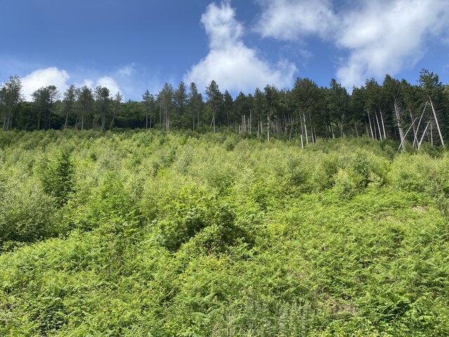
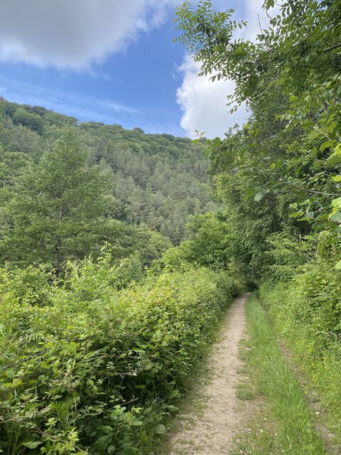
The village is renowned for its stunning natural beauty, with rolling green hills, lush meadows, and the meandering River Wye nearby. It is a haven for nature enthusiasts and outdoor lovers, providing ample opportunities for activities such as hiking, cycling, and fishing.
High Meadow boasts a rich history, with evidence of human settlement dating back to the Roman era. The village is dotted with historic landmarks and charming old buildings, including a picturesque church that serves as a focal point for the community.
Despite its rural setting, High Meadow offers essential amenities and services to its residents. The village is home to a primary school, a village hall that hosts various community events, and a pub where locals and visitors can socialize and enjoy traditional Welsh cuisine.
High Meadow also benefits from its proximity to nearby towns such as Monmouth and Abergavenny, which provide additional amenities, shopping opportunities, and cultural attractions. The village is well-connected by road and public transport, making it easily accessible for those wishing to explore the surrounding areas.
In summary, High Meadow, Monmouthshire, is a charming village that offers a peaceful and scenic retreat for both residents and visitors. With its natural beauty, rich history, and friendly community, it is a place where one can truly appreciate the beauty of rural Wales.
If you have any feedback on the listing, please let us know in the comments section below.
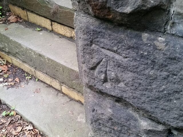
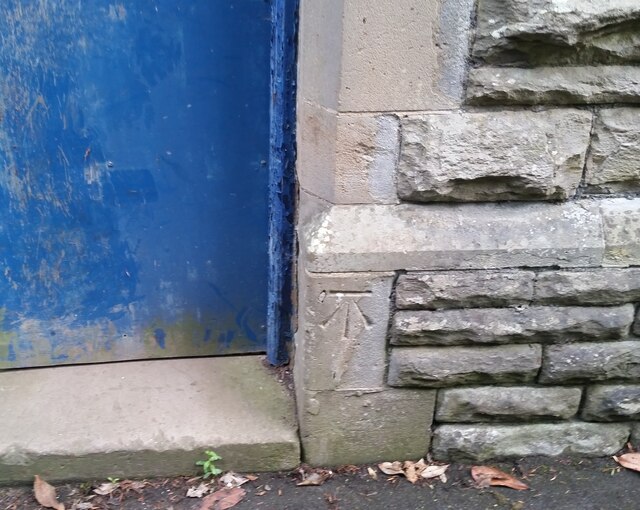
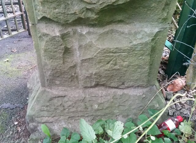
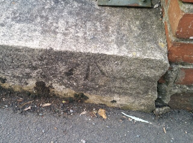
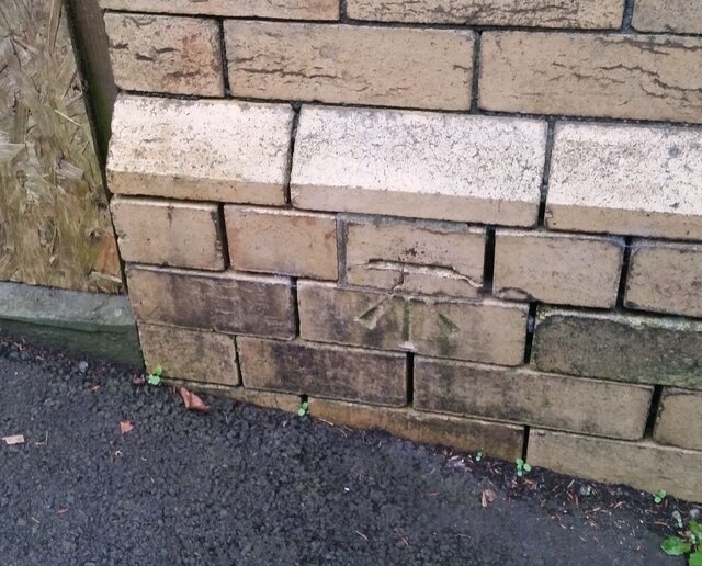
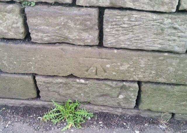
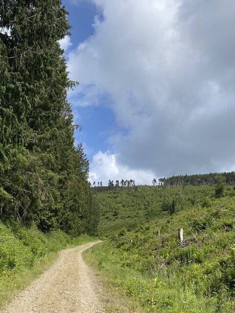
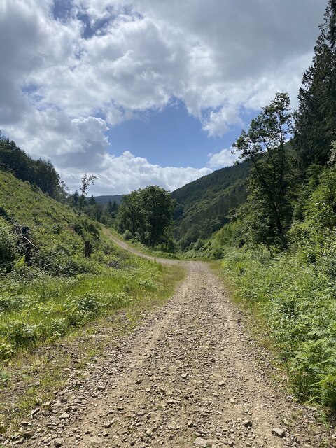
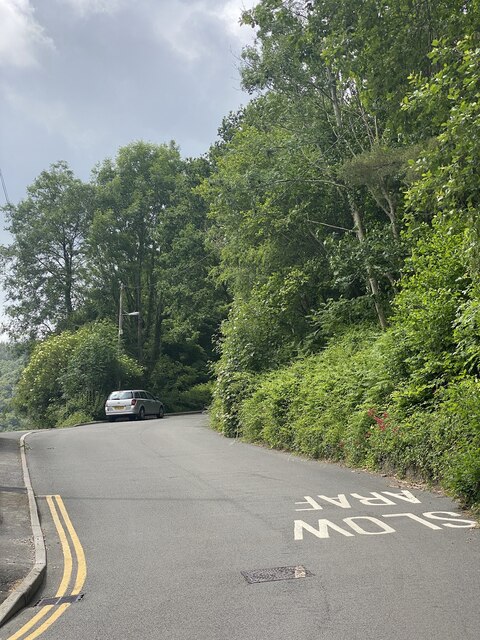
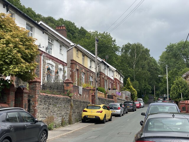
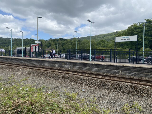
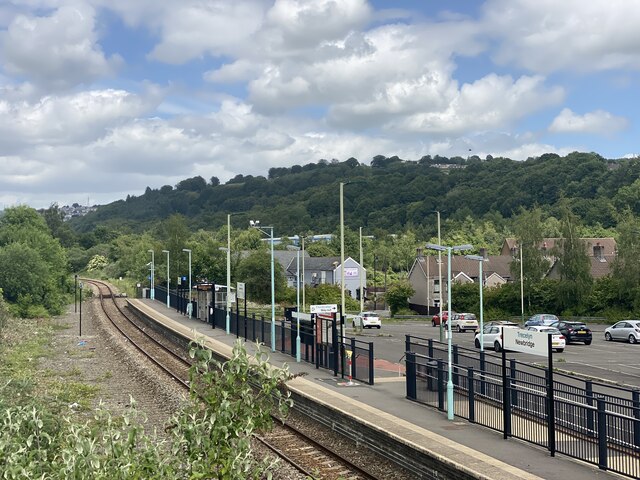
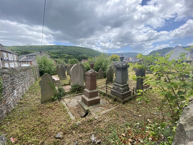
High Meadow Images
Images are sourced within 2km of 51.655437/-3.1317964 or Grid Reference ST2195. Thanks to Geograph Open Source API. All images are credited.

High Meadow is located at Grid Ref: ST2195 (Lat: 51.655437, Lng: -3.1317964)
Unitary Authority: Caerphilly
Police Authority: Gwent
What 3 Words
///laminated.twitchy.importing. Near Abercarn, Caerphilly
Related Wikis

Abercarn railway station
Abercarn railway station served the village of Abercarn, in the county of Monmouthshire. == History == The station was opened by the Monmouthshire Railway...
Abercarn
Abercarn is a town and community in Caerphilly county borough, Wales. It is 10 miles (16 km) northwest of Newport on the A467 between Cwmcarn and Newbridge...
Abercarn colliery disaster
The Abercarn colliery disaster was a catastrophic explosion within the Prince of Wales Colliery in the Welsh village of Abercarn (then in the county of...
Pwll-y-Pant railway station
Pwll-y-Pant railway station served the suburb of Pwll-y-Pant, in the historical county of Glamorgan, Wales, from 1871 to 1893 on the Rhymney Railway....

Newbridge railway station (Wales)
Newbridge railway station (Welsh: Trecelyn) is on the Ebbw Valley Railway and serves the towns of Newbridge and Blackwood in south east Wales. The current...

Newbridge, Caerphilly
Newbridge (Welsh: Trecelyn) is a town and community in the county borough of Caerphilly, south Wales. It lies within the historic boundaries of the county...

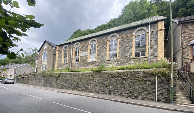
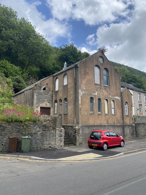
English Baptist Church, Abercarn
The English Baptist Church is a Grade II-listed Baptist church in the town of Abercarn, Caerphilly, Wales. It was built in the mid-nineteenth century to...
Treowen Halt railway station
Treowen Halt railway station served the village of Wonastow, Monmouthshire, Wales, from 1927 to 1960 on the Newport, Abergavenny and Hereford Railway....
Nearby Amenities
Located within 500m of 51.655437,-3.1317964Have you been to High Meadow?
Leave your review of High Meadow below (or comments, questions and feedback).