Pershore

Settlement in Worcestershire Wychavon

England

Pershore

Turning for Great Comberton
Turning for Great Comberton Credit: Sarah Charlesworth

Pershore is a picturesque market town located in Worcestershire, England. It lies on the banks of the River Avon and is situated approximately 10 miles east of the city of Worcester. The town has a rich history dating back to Roman times and is known for its charming architecture and beautiful surrounding countryside.

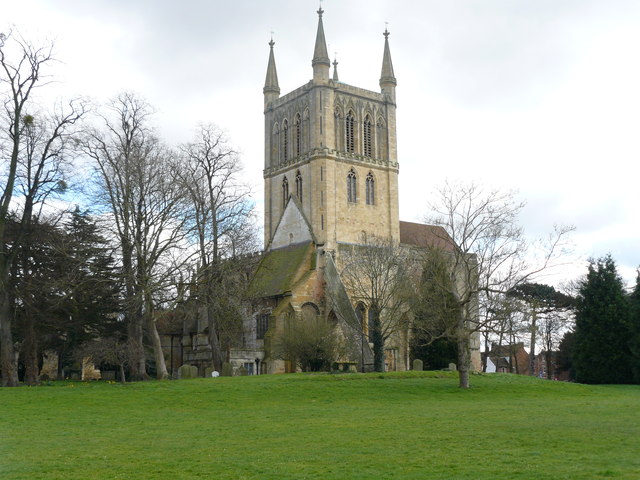
Pershore is famous for its magnificent 13th-century abbey, which stands as a prominent landmark in the town. The abbey is renowned for its stunning stained glass windows and intricate stonework, attracting visitors from far and wide. The town itself features a mix of traditional black and white timber-framed buildings, Georgian houses, and Victorian terraces, creating a unique and charming atmosphere.

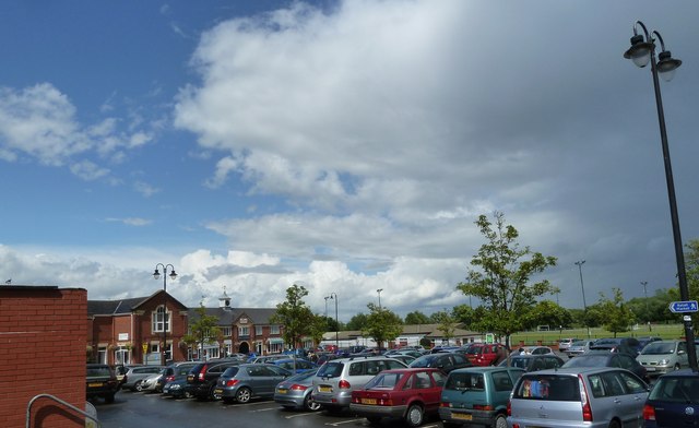
The town's main street, Bridge Street, is lined with a variety of independent shops, boutiques, cafes, and restaurants, offering a diverse range of products and cuisine. Every Wednesday, Pershore hosts a bustling market where visitors can find fresh produce, local crafts, and antiques.

Pershore is also known for its horticulture, particularly its plum orchards. The town hosts an annual Plum Festival, celebrating its plum heritage with various events, including a plum-themed market, live music, and traditional morris dancing.

Surrounded by the beautiful Worcestershire countryside, Pershore offers ample opportunities for outdoor activities. The nearby River Avon provides a perfect spot for boating, fishing, and riverside walks. The town is also a gateway to the Cotswolds, with its rolling hills and picturesque villages just a short drive away.

Overall, Pershore is a charming town with a rich history, stunning architecture, and a warm and welcoming community. It offers a perfect blend of historical charm, natural beauty, and modern amenities, making it an attractive destination for both residents and visitors alike.

If you have any feedback on the listing, please let us know in the comments section below.
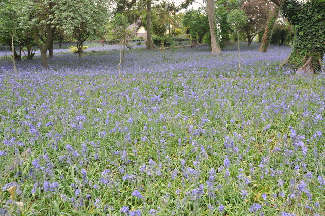
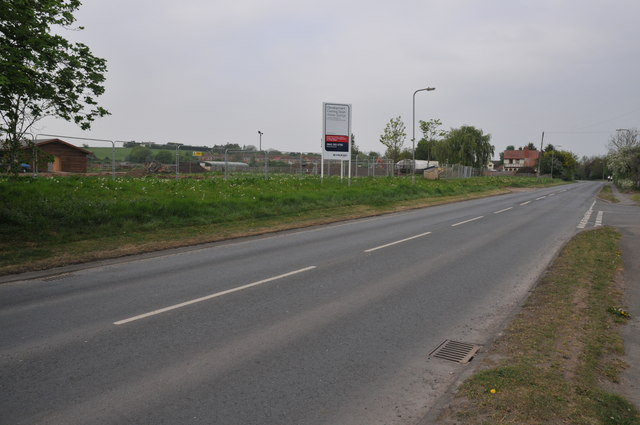
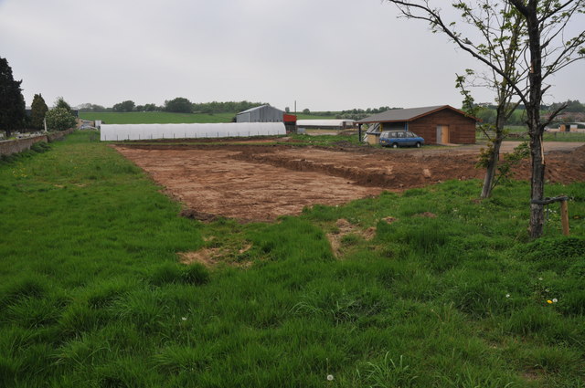
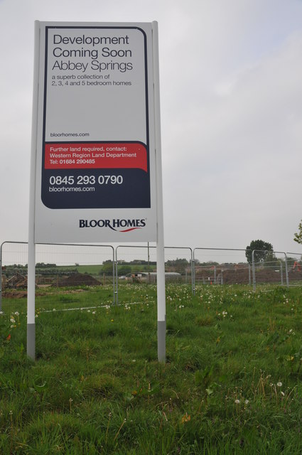
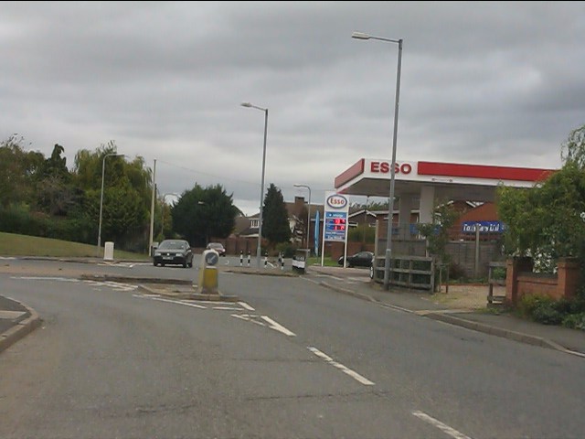
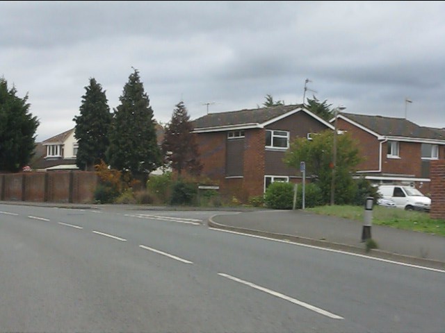
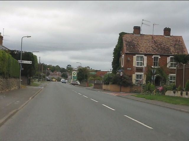
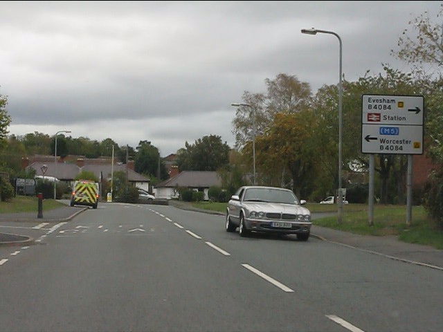
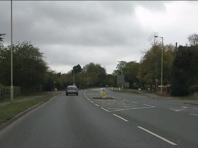
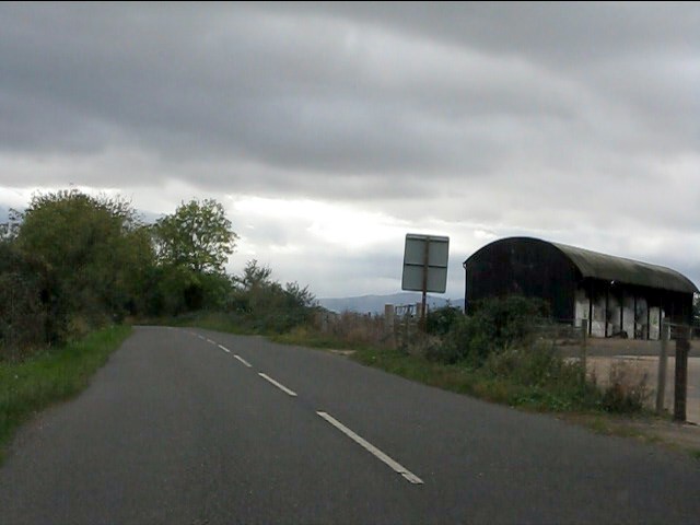
Pershore Images

Images are sourced within 2km of 52.111607/-2.075712 or Grid Reference SO9445. Thanks to Geograph Open Source API. All images are credited.

Turning for Great Comberton
Bluebells beside the A4104 Every springtime there is a magnificent display of bluebells in this extended garden beside the A4104 to the west of Pershore.
Bluebells beside the A4104
Every springtime there is a magnificent display of bluebells in this extended garden beside the A4104 to the west of Pershore.
Awaiting the builders This land beside the A4104 in Pershore is about to be built on.
Awaiting the builders
This land beside the A4104 in Pershore is about to be built on.
Work begins This land beside the A4104 is going to be built on.  Work has started as the ground is being excavated.
Work begins
This land beside the A4104 is going to be built on. Work has started as the ground is being excavated.
Bloor Homes devepment This land beside the A4104 in Pershore is about to be built on by Bloor Homes.
Bloor Homes devepment
This land beside the A4104 in Pershore is about to be built on by Bloor Homes.
Pershore retail market car park A freshly wetted scene after a sudden summer downpour .
Pershore retail market car park
A freshly wetted scene after a sudden summer downpour .
Pershore Abbey In fact, this is merely the chapel from what was originally a much larger complex.  The people of Pershore bought the church to save it from dissolution in the 1530s.

Pershore Abbey was originally granted its charter in 974, but the oldest parts of this building are from the 12th century.
Pershore Abbey
In fact, this is merely the chapel from what was originally a much larger complex. The people of Pershore bought the church to save it from dissolution in the 1530s. Pershore Abbey was originally granted its charter in 974, but the oldest parts of this building are from the 12th century.
A4104 approaching Pershore
A4104 near Pershore cemetery
Welcome to Pershore - eventually Road works and 3-way traffic lights on the A4104.
Welcome to Pershore - eventually
Road works and 3-way traffic lights on the A4104.
Esso filling station on Three Springs Road
Modern housing on Abbey Crescent
Three Springs Road at New Road
Three Springs Road approaching Worcester Road
Worcester Road at Three Springs Road
Worcester Road climbing out of Pershore A rather battered route confirmatory sign is provided on what was once the main A44 (now B4084).
Worcester Road climbing out of Pershore
A rather battered route confirmatory sign is provided on what was once the main A44 (now B4084).
Barn at Allesborough Farm Despite a glowering sky there is plenty of evidence in the barn that the 2011 harvest is being brought in.  The distant Malvern Hills form part of the background.
Barn at Allesborough Farm
Despite a glowering sky there is plenty of evidence in the barn that the 2011 harvest is being brought in. The distant Malvern Hills form part of the background.
Lane junction en route to Ramsden
Show me another place!

Pershore is located at Grid Ref: SO9445 (Lat: 52.111607, Lng: -2.075712)

Administrative County: Worcestershire

District: Wychavon

Police Authority: West Mercia

What 3 Words

///missions.consults.written. Near Pershore, Worcestershire

Nearby Locations

Pershore Pershore

Related Wikis

Number 8, Pershore

Number 8 is a community arts centre in the English town of Pershore. It includes a 250-seat auditorium used for music, theatre and cinema events, a small...

Pershore Abbey

Pershore Abbey, at Pershore in Worcestershire, was an Anglo-Saxon abbey and is now an Anglican parish church, the Church of the Holy Cross. == History... ==

Oswaldslow

The Oswaldslow (sometimes Oswaldslaw) was a hundred in the English county of Worcestershire, which was named in a supposed charter of 964 by King Edgar...

Pershore Town F.C.

Pershore Town Football Club (generally known simply as Pershore Town) are an English association football club based in Pershore, Worcestershire, England...

Nearby Amenities

Located within 500m of 52.111607,-2.075712
Pershore
Is In Country: United Kingdom
Is In Country Code: GB
Is In County: Worcestershire
Place: town
Population: 7000
Postal Code: WR10
Wikidata: Q767858
Wikipedia: en:Pershore
Lat/Long: 52.1096993/-2.0754758
Traffic Signals
Lat/Long: 52.1129108/-2.0768538
Crossing: traffic_signals
Lat/Long: 52.1130109/-2.0766963
Fixme: Determine how far Cherry Orchard extends
Lat/Long: 52.1134411/-2.0758463
Seamark Type: gate
Waterway: lock_gate
Lat/Long: 52.1087137/-2.071255
Bus Stop
Bus: yes
Naptan AtcoCode: 2000G002501
Naptan Bearing: NE
Naptan CommonName: Coach House
Naptan Indicator: Adj
Naptan NaptanCode: wocdagam
Naptan Street: Broad Street
Naptan Verified: no
Note: exists
Old Name: Abbey Tea Room
Public Transport: platform
Shelter: yes
Source: naptan_import
Lat/Long: 52.1099369/-2.0750231
Bus Stop
Royal Arcade
Bus: yes
Naptan AtcoCode: 2000G002502
Naptan Bearing: W
Naptan CommonName: Royal Arcade
Naptan Indicator: adj
Naptan NaptanCode: wocdagap
Naptan Street: Broad Street
Naptan Verified: no
Public Transport: platform
Source: naptan_import
Lat/Long: 52.1097085/-2.0747522
Bus Stop
Pershore- Abbey Park Schools
Bus: yes
Naptan AtcoCode: 2000G080101
Naptan Bearing: SW
Naptan CommonName: Pershore- Abbey Park Schools
Naptan Indicator: Adj
Naptan Landmark: School
Naptan NaptanCode: wocdgwtp
Naptan Street: Abbey Road
Naptan Verified: no
Public Transport: platform
Source: naptan_import
Lat/Long: 52.1101843/-2.080503
Bus Stop
Cherry Orchard
Bus: yes
Naptan AtcoCode: 2000G081400
Naptan Bearing: S
Naptan CommonName: Cherry Orchard
Naptan Indicator: adj
Naptan Landmark: School
Naptan NaptanCode: wocdjada
Naptan Verified: no
Public Transport: platform
Source: naptan_import
Lat/Long: 52.1158701/-2.075095
Bus Stop
Head Street
Bus: yes
Naptan AtcoCode: 2000G157800
Naptan Bearing: NW
Naptan Indicator: opp
Naptan NaptanCode: wocdwjpj
Naptan Street: High Street
Naptan Verified: no
Old Name: The Plough
Public Transport: platform
Source: naptan_import
Lat/Long: 52.1137634/-2.0793136
Bus Stop
Head Street
Bus: yes
Naptan AtcoCode: 2000G323020
Naptan Bearing: SE
Naptan CommonName: Head street
Naptan Indicator: opp
Naptan NaptanCode: wocdpgmg
Naptan Street: Worcester Road
Naptan Verified: no
Public Transport: platform
Source: naptan_import
Lat/Long: 52.1138086/-2.0791075
Cherry Orchard
Naptan AtcoCode: 2000G323141
Naptan Bearing: NE
Naptan BusStopType: CUS
Naptan CommonName: Cherry Orchard
Naptan Indicator: opp
Naptan Landmark: School
Naptan NaptanCode: wocdpdmp
Naptan Street: Cherry Orchard
Naptan Verified: no
Source: naptan_import
Lat/Long: 52.115887/-2.0752599
Sports Club
Pershore & District sports club
Addr City: Pershore
Addr Postcode: WR10 1HZ
Addr Street: Defford Road
Club: sport
Fhrs Id: 685921
Source Addr: FHRS Open Data
Lat/Long: 52.1074184/-2.0765878
Newlands
Naptan AtcoCode: 2000G323987
Naptan Bearing: E
Naptan BusStopType: CUS
Naptan CommonName: Newlands
Naptan Indicator: adj
Naptan NaptanCode: wocdpdtm
Naptan Street: Newlands
Naptan Verified: no
Source: naptan_import
Lat/Long: 52.1117817/-2.0816542
Seamark Type: gate
Waterway: lock_gate
Lat/Long: 52.108944/-2.0713593
Post Office
Pershore Post Office
Addr City: Pershore
Addr Housename: Tesco Express
Addr Housenumber: 15-17
Addr Postcode: WR10 1AA
Addr Street: High Street
Brand: Post Office
Brand Wikidata: Q1783168
Brand Wikipedia: en:Post Office Ltd
Opening Hours: Mo-Su 08:00-20:00
Ref Pol Id: 11398
Source: survey;gps
Source Addr: pol_branch_list_2018-02
Source Opening Hours: pol_branch_list_2018-02
Website: https://www.postoffice.co.uk/branch-finder/2842475/pershore
Lat/Long: 52.1105631/-2.0744578
Post Box
Collection Plate: CP1-LC
Collection Times: Mo-Fr 18:00; Sa 12:30
Historic Operator: Royal Mail
Post Box Apertures: 2
Post Box Design: type_c
Post Box Type: pillar
Ref: WR10 91
Royal Cypher: EIIR
Royal Cypher Wikidata: Q33102113
Source: gps;survey
Lat/Long: 52.1105171/-2.0748771
Post Box
Collection Plate: CP1
Collection Times: Mo-Fr 09:00; Sa 07:00
Historic Operator: Post Office
Post Box Type: pillar
Ref: WR10 424D
Royal Cypher: GR
Royal Cypher Wikidata: Q33102273
Source: survey;gps
Lat/Long: 52.1099825/-2.0749545
Post Box
Collection Plate: CP7
Collection Times: Mo-Fr 17:30; Sa 11:00
Historic Operator: Post Office
Post Box Type: wall
Ref: WR10 236
Royal Cypher: EIIR
Royal Cypher Wikidata: Q33102113
Lat/Long: 52.1136708/-2.0787895
Victoria Hotel
Tourism: hotel
Lat/Long: 52.1117751/-2.0812787
Post Box
Collection Plate: none
Historic Operator: Royal Mail
Note: ref insert missing
Post Box Type: lamp
Ref: WR10 305
Royal Cypher: EIIR
Royal Cypher Wikidata: Q33102113
Source: survey;bing;gps
Source Ref: conjecture and elimination
Lat/Long: 52.1073084/-2.0771657
Bench
Lat/Long: 52.1096954/-2.0749196
Bench
Lat/Long: 52.1099719/-2.0749857
Bicycle Parking
Bicycle Parking: stands
Capacity: 12
Lat/Long: 52.1099088/-2.0746644
Bicycle Parking
Bicycle Parking: stands
Capacity: 12
Covered: yes
Lat/Long: 52.1115242/-2.0747758
Bench
Lat/Long: 52.110931/-2.079465
Bench
Backrest: yes
Lat/Long: 52.109766/-2.074485
Waterway: weir
Lat/Long: 52.1094387/-2.0711378
Bench
Lat/Long: 52.1108461/-2.0760731
Bench
Lat/Long: 52.1108397/-2.0759226
Bench
Lat/Long: 52.1102407/-2.0763657
Bench
Lat/Long: 52.1104111/-2.076041
Bench
Lat/Long: 52.1105638/-2.0760327
Power: substation
Lat/Long: 52.1086815/-2.0756172
Bench
Lat/Long: 52.109991/-2.0749232
Telephone
HE Ref: 474493
Booth: K6
Covered: booth
Listed Status: Grade II
Operator: BT
Phone: +44 1386 553690
Source Listed Status: English Heritage
Lat/Long: 52.1112463/-2.0752988
Power: substation
Lat/Long: 52.1117078/-2.0782541
Post Box
Collection Times: Mo-Fr 17:30; Sa 08:00
Post Box Type: wall
Ref: WR10 237
Royal Cypher: EIIR
Royal Cypher Wikidata: Q33102113
Lat/Long: 52.1116417/-2.081035
Doctors
Pershore Medical Practice
Healthcare: doctor
Lat/Long: 52.1140257/-2.077786
Pharmacy
Pershore Medical Practice
Healthcare: pharmacy
Lat/Long: 52.1139203/-2.0776143
Crossing
Crossing: uncontrolled
Crossing Island: no
Crossing Ref: zebra
Tactile Paving: yes
Lat/Long: 52.1097777/-2.074375
Post Box
Collection Times: Mo-Fr 09:00; Sa 07:00
Note: Ref confirmed as correct from info plate in Sep 2015
Post Box Type: lamp
Ref: WR10 321
Royal Cypher: EIIR
Royal Cypher Wikidata: Q33102113
Source: memory
Source Ref: conjecture
Lat/Long: 52.1155274/-2.0770492
Mini Roundabout
Lat/Long: 52.1109716/-2.0791506
Bus Stop
Bus: yes
Public Transport: platform
Lat/Long: 52.1090447/-2.0737666
Crossing
Crossing: traffic_signals
Crossing Island: no
Kerb: flush
Tactile Paving: yes
Lat/Long: 52.1111073/-2.0753545
Atm
Lloyds Bank
Brand: Lloyds Bank
Brand Wikidata: Q1152847
Brand Wikipedia: en:Lloyds Bank
Operator: Lloyds Bank
Operator Wikidata: Q1152847
Wheelchair: no
Lat/Long: 52.1098678/-2.0754392
Bicycle Parking
Bicycle Parking: stands
Capacity: 8
Lat/Long: 52.1105726/-2.0769166
Cafe
Cafe on the Corner
Addr City: Pershore
Addr Housename: Central Building
Addr Postcode: WR10 1EY
Addr Street: King Georges Way
Addr Unit: 1
Fhrs Id: 674161
Source Addr: FHRS Open Data
Lat/Long: 52.1122919/-2.0747502
Defibrillator
Defibrillator Location: On side wall of toilets
Emergency: defibrillator
Not Ref GB The Circuit: 8523334D-6C08-4339-8AE5-F7CD35C5A277
Lat/Long: 52.1115291/-2.0749948
Description: board
Tourism: information
Lat/Long: 52.1136521/-2.0735569
Follyies
Addr Housenumber: 1
Addr Parentstreet: Broad Street
Addr Postcode: WR10 1AG
Addr Street: Royal Arcade
Check Date: 2022-04-09
Level: 0
Shop: houseware
Website: http://www.follyies.co.uk/
Lat/Long: 52.1097169/-2.0744771
John Ash
Historic: memorial
Inscription: The Rev'd John Ash LL D 1724 - 1779 Baptist Minister, Lexicographer and Grammarian Lived in a house on this site
Memorial: plaque
Operator: Pershore Civic Society
Lat/Long: 52.1094837/-2.0760442
HE Ref: 474444
Heritage: 2
Heritage Operator: Historic England
Historic: monument
Listed Status: Grade II
Man Made: cross
Source Listed Status: English Heritage
Lat/Long: 52.1102145/-2.0771536
HE Ref: 474446
Historic: tomb
Listed Status: Grade II
Source Listed Status: English Heritage
Lat/Long: 52.1106694/-2.0778398
Twinning Anniversary 2004
Historic: memorial
Inscription: 2004. This plaque commemorates the 25th anniversary of the Twinning with Bad Neustadt and the 10th with Plouay.
Memorial: plaque
Operator: Pershore Town Twinning Association
Lat/Long: 52.1113838/-2.0752429
William Chapman
Historic: memorial
Inscription: WILLIAM T CHAPMAN 1871 - 1950. Headmaster, Pershore Boys' School, Chairman, Holy Cross Parish Council. Presented to the town in November 1938, the River Meadows now known as King George V Playing Fields ...
Memorial: plaque
Lat/Long: 52.1113555/-2.0753709
HE Ref: 474450
Historic: tomb
Listed Status: Grade II
Source Listed Status: English Heritage
Lat/Long: 52.1102274/-2.0764779
HE Ref: 474451
Historic: tomb
Listed Status: Grade II
Source Listed Status: English Heritage
Lat/Long: 52.1105303/-2.0766208
HE Ref: 474447
Heritage: 2
Heritage Operator: Historic England
Historic: tomb
Listed Status: Grade II
Source Listed Status: English Heritage
Lat/Long: 52.1109384/-2.0775918
Restoration
Historic: memorial
Inscription: RESTORED 1976. HEREFORD AND WORCESTER BUILDING PRESERVATION TRUST.
Memorial: plaque
Lat/Long: 52.1111905/-2.0768221
Atm
Barclays
Brand: Barclays
Brand Wikidata: Q245343
Brand Wikipedia: en:Barclays
Operator: Barclays
Operator Wikidata: Q245343
Lat/Long: 52.1098103/-2.0742548
Atm
RBS
Brand: RBS
Brand Wikidata: Q160126
Brand Wikipedia: en:Royal Bank of Scotland
Official Name: Royal Bank of Scotland
Operator: RBS
Operator Wikidata: Q160126
Lat/Long: 52.1105008/-2.0748331
Belle House
Historic: memorial
Inscription: RESTORED 1973 WORCESTERSHRE BUILDING PRESERVATION TRUST
Memorial: plaque
Lat/Long: 52.1096598/-2.0741503
Diana, Princess of Wales
Inscription: This Rose Garden was provided by Pershore Town Council in memory of Diana, Princess of Wales. It was formally opened by the Town Mayor of Pershore, Councillor Chris Parsons on 8th April 1998.
Memorial: plaque
Lat/Long: 52.1120616/-2.0737332
Bicycle Parking
Bicycle Parking: stands
Capacity: 6
Covered: no
Lat/Long: 52.111819/-2.0736061
Leisure: picnic_table
Lat/Long: 52.1120646/-2.0723119
Covered: no
Leisure: picnic_table
Lat/Long: 52.1122505/-2.0727351
Covered: no
Leisure: picnic_table
Lat/Long: 52.1123347/-2.0722809
Covered: no
Leisure: picnic_table
Lat/Long: 52.1126204/-2.071444
Covered: no
Leisure: picnic_table
Lat/Long: 52.1128234/-2.0714131
Covered: no
Leisure: picnic_table
Lat/Long: 52.1130529/-2.0713791
Town Hall Clock
Historic: memorial
Inscription: This clock was erected by Pershore Town Council and dedicated on 28th June 2009 as a replacement for clocks installed in 1953 and 1979. In memory of those who gave their lives in the Second World War and also to commemorate the Silver Jubilee ...
Memorial: plaque
Website: http://www.evesham-mapped.org.uk/images/pershore_clock.jpg
Lat/Long: 52.111122/-2.0754626
Clock
Lat/Long: 52.1111288/-2.0754671
Leafing Through History
Artist Name: Tom Harvey
Artwork Type: sculpture
Tourism: artwork
Website: http://www.evesham-mapped.org.uk/images/leafing.jpg
Lat/Long: 52.1098403/-2.0776558
Life Cycles
Artist Name: Tom Harvey
Artwork Type: sculpture
Tourism: artwork
Website: http://www.evesham-mapped.org.uk/images/dragon_fly.jpg
Lat/Long: 52.1089246/-2.0799854
Historic: memorial
Memorial: war_memorial
Lat/Long: 52.1104296/-2.079143
Moon Goddess
Artist Name: Peter Inchbald
Artwork Type: sculpture
Tourism: artwork
Website: http://www.evesham-mapped.org.uk/images/moon_goddess.jpg
Lat/Long: 52.1106785/-2.0762934
Crossing
Crossing: uncontrolled
Crossing Ref: zebra
Lat/Long: 52.1135048/-2.0783967
Cafe
Coffee & More
Addr City: Pershore
Addr Housename: Bakers Arcade
Addr Housenumber: 56-58
Addr Parentstreet: High Street
Addr Postcode: WR10 1DU
Addr Street: Bakers Arcade
Addr Unit: 3
Fhrs Id: 748387
Source Addr: FHRS Open Data
Lat/Long: 52.111801/-2.0762027
Saras
Addr City: Pershore
Addr Parentstreet: High Street
Addr Street: Bakers Arcade
Shop: beauty
Lat/Long: 52.1117867/-2.0760873
T C Fireplaces
Addr City: Pershore
Addr Parentstreet: High Street
Addr Street: Bakers Arcade
Shop: fireplace
Lat/Long: 52.1117038/-2.0762948
Taxidermy & Antiques
Addr City: Pershore
Addr Parentstreet: High Street
Addr Street: Bakers Arcade
Shop: antiques
Lat/Long: 52.1117716/-2.0763537
Vintage Clothes & Curios
Addr City: Pershore
Addr Parentstreet: High Street
Addr Street: Bakers Arcade
Shop: antiques
Lat/Long: 52.1117098/-2.076048
Regency Building
Historic: memorial
Inscription: THIS REGENCY BUILDING WAS FORMERLY THE ROYAL THREE TUNS HOTEL VISITED IN 1830 BY PRINCESS (LATER QUEEN) VICTORIA AND HER MOTHER THE DUCHESS OF KENT. 1989.
Memorial: plaque
Operator: Pershore Civic Society
Lat/Long: 52.1097112/-2.0746824
Number 8
Historic: memorial
Inscription: DISTINCTION IN BUILDING AWARD 2005
Memorial: plaque
Operator: Wychavon District Council
Lat/Long: 52.1102838/-2.0749455
Aircraft Crash
Inscription: Remembering with pride the five crew members of RAF Wellington X3704 who died when their aircraft crashed on this site during a Wings for Victory fly-past 29th May 1943. Per Ardua Ad Astra.
Memorial: plaque
Operator: Pershore Civic Society
Url: http://www.evesham-mapped.org.uk/images/wellington.jpg
Lat/Long: 52.1088342/-2.0736111
The Maurice Banbury Garden
Historic: memorial
Inscription: IN GRATITUDE FROM HIS FRIENDS AND PATIENTS 1987
Memorial: plaque
Operator: Pershore Civic Society
Lat/Long: 52.1113517/-2.0768769
Fast Food
Newlands Fish Bar
Addr City: Pershore
Addr Housenumber: 21A
Addr Postcode: WR10 1BW
Addr Street: Newlands
Cuisine: fish_and_chips
Fhrs Id: 673928
Source Addr: FHRS Open Data
Lat/Long: 52.1114005/-2.0804088
Historic: milestone
Inscription: UPTON 8 miles, Evesham 6, LONDON 102
Url: http://www.evesham-mapped.org.uk/images/MStone_Pershore.jpg
Lat/Long: 52.1087651/-2.076121
Information: board
Tourism: information
Lat/Long: 52.1099022/-2.0746323
Defibrillator
Emergency: defibrillator
Lat/Long: 52.1100003/-2.076825
Generator Method: photovoltaic
Generator Output Electricity: yes
Generator Source: solar
Generator Type: solar_photovoltaic_panel
Location: roof
Power: generator
Lat/Long: 52.1160476/-2.0759198
Generator Method: photovoltaic
Generator Output Electricity: yes
Generator Source: solar
Generator Type: solar_photovoltaic_panel
Location: roof
Power: generator
Lat/Long: 52.1118532/-2.0824993
Generator Method: photovoltaic
Generator Output Electricity: yes
Generator Source: solar
Generator Type: solar_photovoltaic_panel
Location: roof
Power: generator
Lat/Long: 52.1118771/-2.0827756
Generator Method: photovoltaic
Generator Output Electricity: yes
Generator Source: solar
Generator Type: solar_photovoltaic_panel
Location: roof
Power: generator
Lat/Long: 52.1118845/-2.0828279
Generator Method: photovoltaic
Generator Output Electricity: yes
Generator Source: solar
Generator Type: solar_photovoltaic_panel
Location: roof
Power: generator
Lat/Long: 52.1078313/-2.0763543
Generator Method: photovoltaic
Generator Output Electricity: yes
Generator Source: solar
Generator Type: solar_photovoltaic_panel
Location: roof
Power: generator
Lat/Long: 52.1078527/-2.076247
Generator Method: photovoltaic
Generator Output Electricity: yes
Generator Source: solar
Generator Type: solar_photovoltaic_panel
Location: roof
Power: generator
Lat/Long: 52.1115245/-2.0775486
Generator Method: photovoltaic
Generator Output Electricity: yes
Generator Source: solar
Generator Type: solar_photovoltaic_panel
Location: roof
Power: generator
Lat/Long: 52.1115369/-2.0774715
Generator Method: photovoltaic
Generator Output Electricity: yes
Generator Source: solar
Generator Type: solar_photovoltaic_panel
Location: roof
Power: generator
Lat/Long: 52.1115472/-2.0774071
Generator Method: photovoltaic
Generator Output Electricity: yes
Generator Source: solar
Generator Type: solar_photovoltaic_panel
Location: roof
Power: generator
Lat/Long: 52.1115583/-2.0773394
Generator Method: photovoltaic
Generator Output Electricity: yes
Generator Source: solar
Generator Type: solar_photovoltaic_panel
Location: roof
Power: generator
Lat/Long: 52.1115682/-2.0772851
Generator Method: photovoltaic
Generator Output Electricity: yes
Generator Source: solar
Generator Type: solar_photovoltaic_panel
Location: roof
Power: generator
Lat/Long: 52.111905/-2.082687
Generator Method: photovoltaic
Generator Output Electricity: yes
Generator Source: solar
Generator Type: solar_photovoltaic_panel
Location: roof
Power: generator
Lat/Long: 52.1118853/-2.0826267
Generator Method: photovoltaic
Generator Output Electricity: yes
Generator Source: solar
Generator Type: solar_photovoltaic_panel
Location: roof
Power: generator
Lat/Long: 52.1118696/-2.082565
Generator Method: photovoltaic
Generator Output Electricity: yes
Generator Source: solar
Generator Type: solar_photovoltaic_panel
Location: roof
Power: generator
Lat/Long: 52.1128851/-2.0816115
Generator Method: photovoltaic
Generator Output Electricity: yes
Generator Source: solar
Generator Type: solar_photovoltaic_panel
Location: roof
Power: generator
Lat/Long: 52.1153896/-2.0767915
Generator Method: photovoltaic
Generator Output Electricity: yes
Generator Source: solar
Generator Type: solar_photovoltaic_panel
Location: roof
Power: generator
Lat/Long: 52.1157972/-2.0770678
Generator Method: photovoltaic
Generator Output Electricity: yes
Generator Source: solar
Generator Type: solar_photovoltaic_panel
Location: roof
Power: generator
Lat/Long: 52.1113409/-2.0775975
Generator Method: photovoltaic
Generator Output Electricity: yes
Generator Source: solar
Generator Type: solar_photovoltaic_panel
Location: roof
Power: generator
Lat/Long: 52.1113895/-2.077615
Generator Method: photovoltaic
Generator Output Electricity: yes
Generator Source: solar
Generator Type: solar_photovoltaic_panel
Location: roof
Power: generator
Lat/Long: 52.1114834/-2.077674
Generator Method: photovoltaic
Generator Output Electricity: yes
Generator Source: solar
Generator Type: solar_photovoltaic_panel
Location: roof
Power: generator
Lat/Long: 52.1114265/-2.0776364
Social Facility
Pershore Foodbank
Addr City: Pershore
Addr Postcode: WR10 1BH
Addr Street: Church Walk
Email: info@pershore.foodbank.org.uk
Network: Trussell Trust
Parliamentary Constituency: West Worcestershire
Phone: 01386555347
Social Facility: food_bank
Social Facility For: underprivileged
Source: give_food
Url: https://www.givefood.org.uk/needs/at/pershore/
Lat/Long: 52.1107815/-2.0768678
Restaurant
The Claude Choules
Addr City: Pershore
Addr Housenumber: 9
Addr Parentstreet: Broad Street
Addr Postcode: WR10 1AG
Addr Street: Royal Arcade
Fhrs Id: 1291106
Level: 1
Website: https://claudespershore.co.uk/
Lat/Long: 52.1096924/-2.0745137
Waste Basket
Lat/Long: 52.1112305/-2.0752908
Power: pole
Lat/Long: 52.1117024/-2.0706405
Power: pole
Lat/Long: 52.1115184/-2.068588
Power: pole
Lat/Long: 52.111805/-2.0697893
Location Transition: yes
Power: pole
Lat/Long: 52.1115665/-2.0717825
Crossing
Crossing: unmarked
Tactile Paving: yes
Lat/Long: 52.1098064/-2.074655
Crossing
Lat/Long: 52.1099964/-2.0747883
Crossing
Lat/Long: 52.1099527/-2.0747522
Fast Food
Cardamon
Addr City: Pershore
Addr Housenumber: 3
Addr Parentstreet: Broad Street
Addr Postcode: WR10 1AG
Addr Street: Royal Arcade
Cuisine: indian
Fhrs Id: 674078
Source Addr: FHRS Open Data
Lat/Long: 52.1095974/-2.074584
Shoefit
Addr City: Pershore
Addr Postcode: WR10 1AG
Addr Street: Royal Arcade
Shop: shoes
Source Addr Postcode: ons_uprn_lookup
Lat/Long: 52.1095326/-2.0746152
Creative Glass
Addr City: Pershore
Addr Postcode: WR10 1AG
Addr Street: Royal Arcade
Shop: art
Source Addr Postcode: ons_uprn_lookup
Lat/Long: 52.1095193/-2.0747088
Flax
Addr City: Pershore
Addr Postcode: WR10 1AG
Addr Street: Royal Arcade
Shop: clothes
Source Addr Postcode: ons_uprn_lookup
Lat/Long: 52.1095434/-2.0748104
Cafe
Sugar Plum Tea Rooms
Addr City: Pershore
Addr Housenumber: 31
Addr Postcode: WR10 1BB
Addr Street: Broad Street
Fhrs Id: 1522789
Office: accountant
Old Name: Allchurch Bailey
Source Addr Postcode: code-point_open
Website: https://www.facebook.com/sugarplumtearooms
Lat/Long: 52.1099969/-2.0750784
Isabella Rose Lingerie
Addr City: Pershore
Addr Housenumber: 29
Addr Postcode: WR10 1BB
Addr Street: Broad Street
Clothes: lingerie
Old Name: Abbey Crafts
Shop: clothes
Source Addr Postcode: code-point_open
Website: http://www.isabellaroselingerie.co.uk/
Lat/Long: 52.1099802/-2.0751384
Steptoe's Yard
Addr City: Pershore
Addr Housenumber: 27
Addr Postcode: WR10 1BB
Addr Street: Broad Street
Old Name: Sweet Traditions
Shop: houseware
Source Addr Postcode: code-point_open
Lat/Long: 52.1099635/-2.0752016
Dilly Dally
Addr City: Pershore
Addr Housenumber: 25
Addr Postcode: WR10 1BB
Addr Street: Broad Street
Contact Facebook: https://www.facebook.com/dillydallyshop/
Shop: gift
Source Addr Postcode: code-point_open
Lat/Long: 52.1099458/-2.0752704
Just After Eight
Addr City: Pershore
Addr Housenumber: 23
Addr Postcode: WR10 1BB
Addr Street: Broad Street
Old Name: K C Carpets
Shop: charity
Source Addr Postcode: code-point_open
Lat/Long: 52.1099198/-2.0753776
Blue
Addr City: Pershore
Addr Housenumber: 19
Addr Postcode: WR10 1BB
Addr Street: Broad Street
Listed Status: Grade II
Shop: clothes
Source Addr Postcode: code-point_open
Website: https://blue-clothingstore.business.site/
Lat/Long: 52.1098367/-2.0756696
Bank
Lloyds Bank
Addr City: Pershore
Addr Country: GB
Addr Housenumber: 21
Addr Postcode: WR10 1BD
Addr Street: Broad Street
Brand: Lloyds Bank
Brand Wikidata: Q1152847
Brand Wikipedia: en:Lloyds Bank
Listed Status: Grade II
Source Addr Postcode: code-point_open
Website: https://branches.lloydsbank.com/worcestershire/21-broad-street
Lat/Long: 52.1098736/-2.0755504
Happy Pets
Addr City: Pershore
Addr Housenumber: 8
Addr Parentstreet: Broad Street
Addr Postcode: WR10 1AG
Addr Street: Royal Arcade
Fixme: Check location
Listed Status: Grade II
Shop: pet
Source Addr Postcode: code-point_open
Website: https://happypetspershore.co.uk/
Lat/Long: 52.1096353/-2.0747352
Cats Protection
Addr City: Pershore
Addr Housenumber: 28
Addr Postcode: WR10 1AY
Addr Street: Broad Street
Brand: Cats Protection
Brand Wikidata: Q5053998
Brand Wikipedia: en:Cats Protection
Listed Status: Grade II
Shop: charity
Source Addr Postcode: code-point_open
Lat/Long: 52.109653/-2.0748136
Classic Cuts
Addr City: Pershore
Addr Postcode: WR10 1AY
Addr Street: Broad Street
Listed Status: Grade II
Shop: hairdresser
Source Addr Postcode: code-point_open
Lat/Long: 52.1096382/-2.0749008
Cafe
PB's Waffle & Shakes
Addr City: Pershore
Addr Housenumber: 24A
Addr Postcode: WR10 1AY
Addr Street: Broad Street
Cuisine: dessert
Fhrs Id: 1451333
Listed Status: Grade II
Old Name: Fabrik Shop
Source Addr Postcode: code-point_open
Website: https://www.pbswaffleandshakes.com/
Lat/Long: 52.1096215/-2.0749832
Bomford & Coffey
Addr City: Pershore
Addr Housenumber: 14-16
Addr Postcode: WR10 1AY
Addr Street: Broad Street
Office: estate_agent
Source Addr Postcode: code-point_open
Website: https://www.bomfordandcoffey.co.uk/
Lat/Long: 52.1095655/-2.0753832
Atm
Lloyds Bank
Brand: Lloyds Bank
Brand Wikidata: Q1152847
Brand Wikipedia: en:Lloyds Bank
Operator: Lloyds Bank
Operator Wikidata: Q1152847
Wheelchair: no
Lat/Long: 52.1098623/-2.0754614
Social Facility
Pershore Community Cupboard
Addr City: Pershore
Addr Housename: Pershore Baptist church
Addr Postcode: WR10 1AY
Addr Street: Broad Street
Fhrs Id: 1373508
Social Facility: food_bank
Website: https://www.pershorebaptist.org.uk/community-cupboard/
Lat/Long: 52.1094969/-2.0758663
The data included in this document is from www.openstreetmap.org. The data is made available under ODbL.

Have you been to Pershore?

Leave your review of Pershore below (or comments, questions and feedback).