Chadwell

Settlement in Leicestershire Melton

England

Chadwell

Old Rectory, Goadby Marwood Lovely Georgian house in attractive local ironstone. The listing states that it is mid-C18th, the upper storey being added in the early C19th. Grade II listed.
The owner kindly gave me permission to photograph.
Old Rectory, Goadby Marwood Credit: Stephen Richards

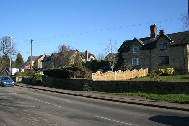
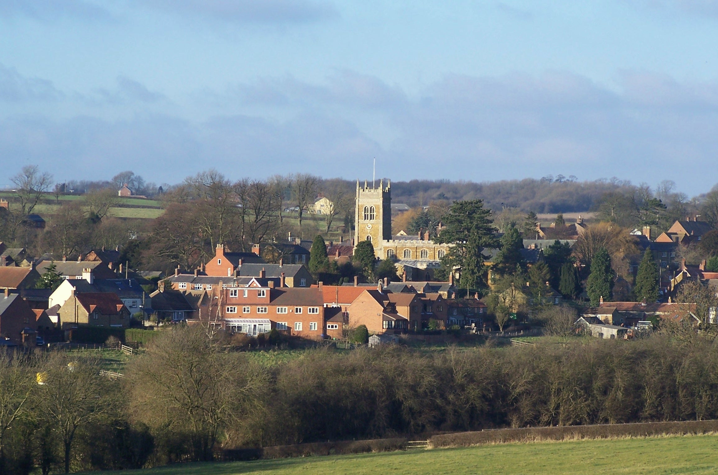
Chadwell is a small village located in the county of Leicestershire, England. Situated approximately 8 miles northeast of the city of Leicester, it falls within the local government district of Harborough. The village is nestled in a rural setting, surrounded by picturesque countryside and rolling hills.

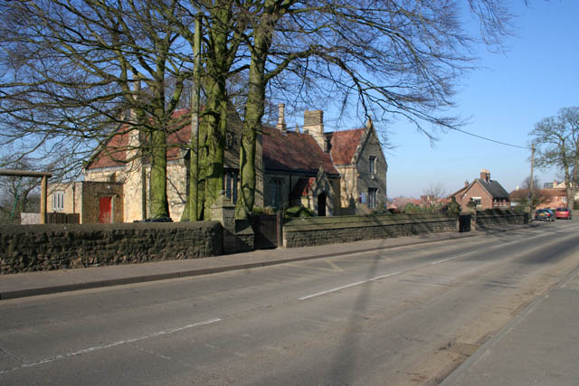
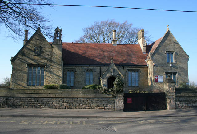
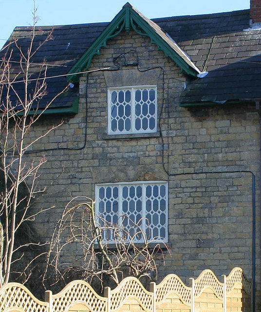
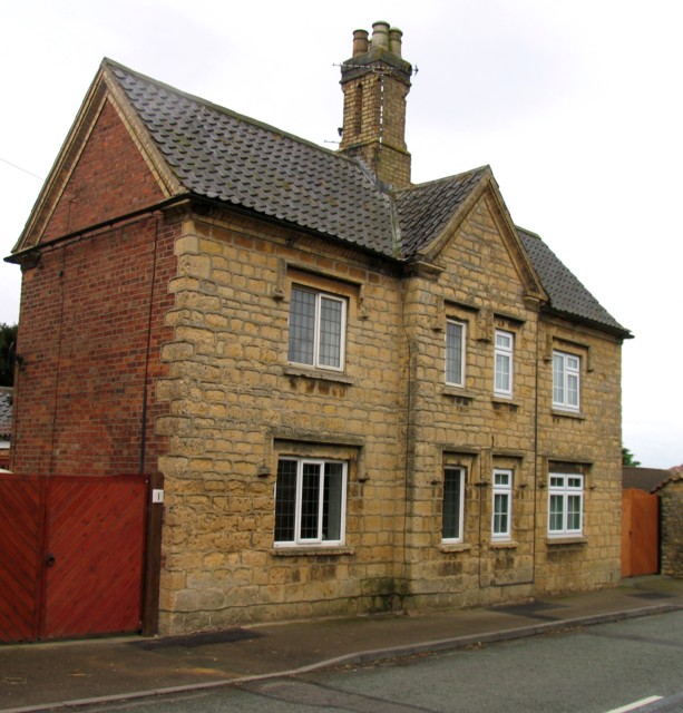
Chadwell is known for its rich history, with evidence of human habitation in the area dating back to the Roman era. The village itself developed in the medieval period, and some of its buildings still exhibit architectural features from that time. The charming St. Mary's Church, a Grade II listed building, is a prominent landmark in Chadwell.

Despite its small size, Chadwell offers a range of amenities to its residents. These include a primary school, a community center, and a village hall that serves as a hub for social gatherings and events. The village also boasts several local businesses, including a convenience store and a pub, providing essential services and a sense of community cohesion.

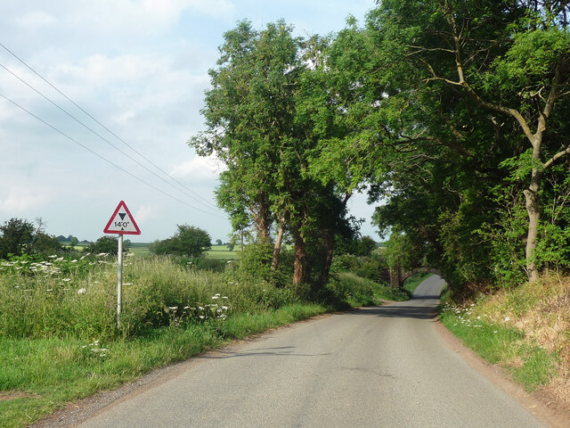
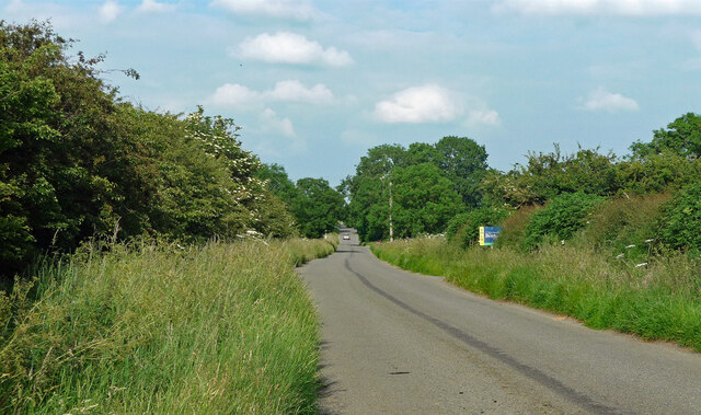
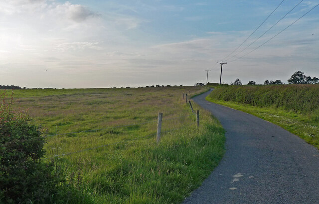
Chadwell's natural surroundings make it an ideal location for outdoor enthusiasts. The village is close to several walking and cycling trails, allowing residents and visitors to explore the beautiful Leicestershire countryside. Additionally, the nearby Bradgate Park, a popular local attraction, offers stunning views and opportunities for wildlife spotting.

In summary, Chadwell is a quaint village in Leicestershire, characterized by its historical significance, rural setting, and community spirit. It provides a peaceful and idyllic place to live, with easy access to both the city amenities of Leicester and the natural beauty of the surrounding countryside.

If you have any feedback on the listing, please let us know in the comments section below.

Chadwell Images

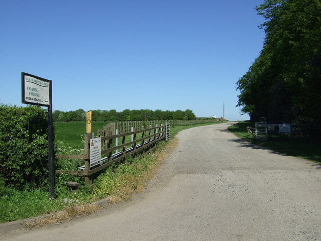
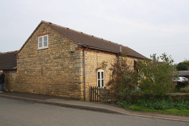
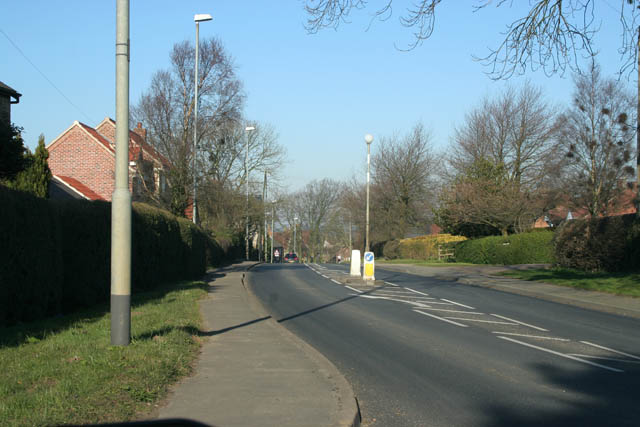
Images are sourced within 2km of 52.811904/-0.840638 or Grid Reference SK7824. Thanks to Geograph Open Source API. All images are credited.

Old Rectory, Goadby Marwood Lovely Georgian house in attractive local ironstone. The listing states that it is mid-C18th, the upper storey being added in the early C19th. Grade II listed.
The owner kindly gave me permission to photograph.
Old Rectory, Goadby Marwood
Lovely Georgian house in attractive local ironstone. The listing states that it is mid-C18th, the upper storey being added in the early C19th. Grade II listed. The owner kindly gave me permission to photograph.
Country road near Wycomb (1) North-east towards Wycomb.
The height restriction refers to <a href="https://www.geograph.org.uk/photo/3553027">SK7724 : The north side of  the MR bridge near Wycomb</a>.
Country road near Wycomb (1)
North-east towards Wycomb. The height restriction refers to SK7724 : The north side of the MR bridge near Wycomb.
Country road near Wycomb (2) Looking east towards Chadwell.
Country road near Wycomb (2)
Looking east towards Chadwell.
Wycomb Lane near Goadby Marwood A road connecting Wycomb and Goadby Marwood at just after 8pm on a summer evening.
The OS classes it as an "other route with public access" rather than a normal road.
Wycomb Lane near Goadby Marwood
A road connecting Wycomb and Goadby Marwood at just after 8pm on a summer evening. The OS classes it as an "other route with public access" rather than a normal road.
Private track through woodland
Minor road heading south towards Freeby
Track to fishing lakes
A607 towards Grantham
Benchmark on Goadby Road building Ordnance Survey cut mark benchmark described on the Bench Mark Database at <span class="nowrap"><a title="http://www.bench-marks.org.uk/bm57242" rel="nofollow ugc noopener" href="http://www.bench-marks.org.uk/bm57242">Link</a><img style="margin-left:2px;" alt="External link" title="External link - shift click to open in new window" src="https://s1.geograph.org.uk/img/external.png" width="10" height="10"/></span>
Benchmark on Goadby Road building
Ordnance Survey cut mark benchmark described on the Bench Mark Database at LinkExternal link
Barn conversion on Goadby Road There is an Ordnance Survey benchmark <a href="https://www.geograph.org.uk/photo/4083848">SK8025 : Benchmark on Goadby Road building</a> on the 2nd quoin above the pavement at the near corner of the house
Barn conversion on Goadby Road
There is an Ordnance Survey benchmark SK8025 : Benchmark on Goadby Road building on the 2nd quoin above the pavement at the near corner of the house
Melton Road, Waltham on the Wolds The busy A607 to Grantham cuts through Waltham. There have been recent traffic calming measures made including pedestrian islands and a reduced width carriageway on the approach to the village. There is also a 20 miles per hour speed limit outside the school. Unfortunately none of these measures seem to have much effect on drivers.
Photograph taken looking north from the corner of Moor Leys Lane.
Melton Road, Waltham on the Wolds
The busy A607 to Grantham cuts through Waltham. There have been recent traffic calming measures made including pedestrian islands and a reduced width carriageway on the approach to the village. There is also a 20 miles per hour speed limit outside the school. Unfortunately none of these measures seem to have much effect on drivers. Photograph taken looking north from the corner of Moor Leys Lane.
Waltham on the Wolds primary school On the west of the A607, this popular village school serves a wide rural area including the villages of Stonesby, Eaton, Branston and Eastwell
Waltham on the Wolds primary school
On the west of the A607, this popular village school serves a wide rural area including the villages of Stonesby, Eaton, Branston and Eastwell
Waltham on the Wolds primary school Built in 1844 from local limestone. The three large original classrooms in the old building house the older children. Across the playground at the rear of the building are three mobile classrooms which house the younger pupils. The school overlooks the Wolds countryside at the rear and has a large playing field and nature conservation area.
Waltham on the Wolds primary school
Built in 1844 from local limestone. The three large original classrooms in the old building house the older children. Across the playground at the rear of the building are three mobile classrooms which house the younger pupils. The school overlooks the Wolds countryside at the rear and has a large playing field and nature conservation area.
The school porch This is the main visitor entrance to the school, the children access the buildings from the playground round the back. Note the coat of arms above the door which commemorates the erection of this building in 1844. It was built to replaced the old school which was founded by George Noble in 1776.
The school porch
This is the main visitor entrance to the school, the children access the buildings from the playground round the back. Note the coat of arms above the door which commemorates the erection of this building in 1844. It was built to replaced the old school which was founded by George Noble in 1776.
Detail of cottage on Melton Road, Waltham on the Wolds This cottage, one of four semi-detached cottages on Melton Road, still retains its original windows. See <a href="https://www.geograph.org.uk/photo/697051">SK8024 : Cottages on Melton Road</a>
Detail of cottage on Melton Road, Waltham on the Wolds
This cottage, one of four semi-detached cottages on Melton Road, still retains its original windows. See SK8024 : Cottages on Melton Road
Cottages on Melton Road These two sets of semi-detached cottages are constructed of limestone. All four have undergone extensive expansion over the years but still present a traditional façade to the road. Unfortunately only one retains the original lozenge design windows, see <a href="https://www.geograph.org.uk/photo/697048">SK8024 : Detail of cottage on Melton Road, Waltham on the Wolds</a>.
Cottages on Melton Road
These two sets of semi-detached cottages are constructed of limestone. All four have undergone extensive expansion over the years but still present a traditional façade to the road. Unfortunately only one retains the original lozenge design windows, see SK8024 : Detail of cottage on Melton Road, Waltham on the Wolds.
House in Waltham on the Wolds
Waltham on the Wolds village hall Built in 2004 after extensive public consultation. See <a href="https://www.geograph.org.uk/photo/1002185">SK8025 : Waltham on the Wolds village hall</a>] for rear view.
Waltham on the Wolds village hall
Built in 2004 after extensive public consultation. See SK8025 : Waltham on the Wolds village hall] for rear view.
Show me another place!

Chadwell is located at Grid Ref: SK7824 (Lat: 52.811904, Lng: -0.840638)

Administrative County: Leicestershire

District: Melton

Police Authority: Leicestershire

What 3 Words

///treatable.abode.mentioned. Near Melton Mowbray, Leicestershire

Nearby Locations

Chadwell

Related Wikis

Chadwell, Leicestershire

Chadwell is a small village in the district of Melton, which is approximately 4 miles (6.4 km) northeast of Melton Mowbray in Leicestershire, and is part...

Wycomb

Wycomb is a small hamlet in the district of Melton, which is approximately 4 miles (6.4 km) northeast of Melton Mowbray in Leicestershire, and is part...

Scalford

Scalford is a village and civil parish in the Melton borough of Leicestershire, England. It lies 4 miles (6.4 km) to the north of Melton Mowbray at the...
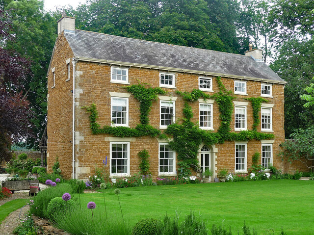
Goadby Hall

Goadby Hall is a privately owned 17th-century country house located in Towns Lane, Goadby Marwood, Leicestershire. It is an historical Grade II* listed...

Melton and Belvoir Rural District

Melton and Belvoir Rural District was a rural district of Leicestershire, England, from 1935 to 1974. It was formed on 1 April 1935 from the merger of...

Waltham on the Wolds

Waltham on the Wolds is a village and former civil parish, now in the parish of Waltham on the Wolds and Thorpe Arnold, in the Melton borough of Leicestershire...

Scalford railway station

Scalford railway station was a railway station serving the village of Scalford, Leicestershire on the Great Northern and London and North Western Joint...

Waltham-on-the-Wolds railway station

Waltham on the Wolds railway station was a railway station at the end of the Waltham Branch, serving the village of Waltham on the Wolds, Leicestershire...

Related Videos

CBD Can Help Your Dog’s Anxiety 🐕 Journal Of Animal Science

Dogs who receive daily doses of CBD see “significant reductions” in stress and anxiety related to car travel, according to a new ...

Dji Mavic Mini Exploring Old Church Evo -1.7. 24 Fps

Dji Mavic Mini Exploring Old Church Hi guy's its your boy gadgetman 404 here while driving round at work few week's ago im a ...

Nearby Amenities

Located within 500m of 52.811904,-0.840638
Barrier: stile
Source: survey
Step Count: 2
Stile: stepover
Lat/Long: 52.812321/-0.844392
Barrier: stile
Source: survey
Lat/Long: 52.8115578/-0.8372299
Chadwell
Place: hamlet
Wikidata: Q5066509
Lat/Long: 52.8126315/-0.8400997
Barrier: stile
Source: survey
Lat/Long: 52.8120226/-0.8382499
Source: survey
Lat/Long: 52.8113961/-0.8472829
Post Box
Collection Times: Mo-Fr 16:45; Sa 08:45
Operator: Royal Mail
Post Box Type: lamp
Ref: LE14 21
Royal Cypher: EIIR
Royal Cypher Wikidata: Q33102113
Lat/Long: 52.8120362/-0.8390491
Power: pole
Source: survey
Lat/Long: 52.813806/-0.8442898
Turning Circle
Source: Bing
Lat/Long: 52.8113612/-0.8402776
Power: pole
Source: Bing
Lat/Long: 52.8115763/-0.8384054
Power: pole
Source: Bing
Lat/Long: 52.8107371/-0.8341161
Power: pole
Source: Bing
Lat/Long: 52.8110127/-0.8355215
Power: pole
Source: survey
Lat/Long: 52.8133392/-0.8430506
Barrier: stile
Source: survey
Lat/Long: 52.8116442/-0.836667
Direction: SE
Generator Method: photovoltaic
Generator Output Electricity: yes
Generator Solar Modules: 6
Generator Source: solar
Generator Type: solar_photovoltaic_panel
Location: roof
Power: generator
Lat/Long: 52.8128496/-0.8410828
Direction: ESE
Generator Method: photovoltaic
Generator Output Electricity: yes
Generator Solar Modules: 6
Generator Source: solar
Generator Type: solar_photovoltaic_panel
Location: roof
Power: generator
Lat/Long: 52.8130826/-0.8417469
Direction: SSW
Generator Method: photovoltaic
Generator Output Electricity: yes
Generator Solar Modules: 6
Generator Source: solar
Generator Type: solar_photovoltaic_panel
Location: roof
Power: generator
Lat/Long: 52.8131522/-0.8418617
The data included in this document is from www.openstreetmap.org. The data is made available under ODbL.

Have you been to Chadwell?

Leave your review of Chadwell below (or comments, questions and feedback).