Brathens
Settlement in Kincardineshire
Scotland
Brathens
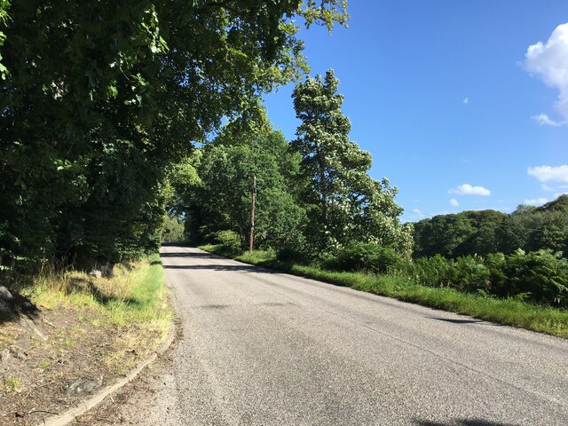
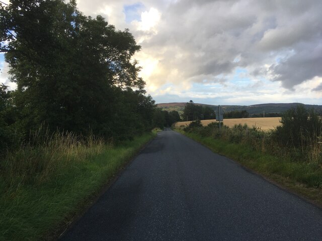
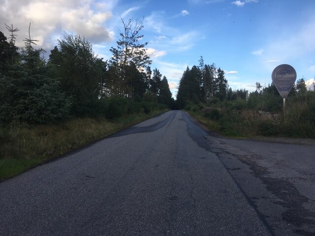
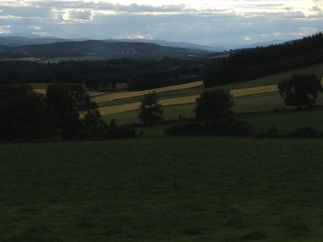
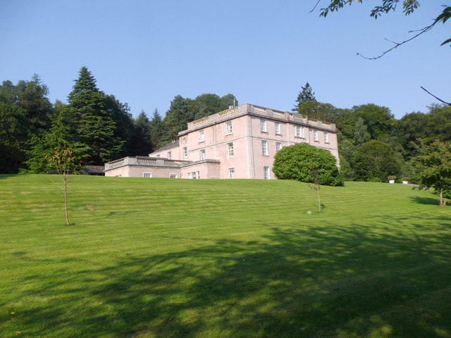
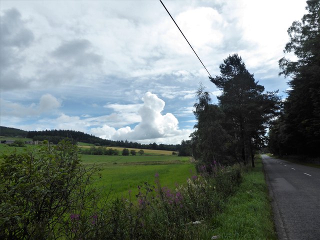
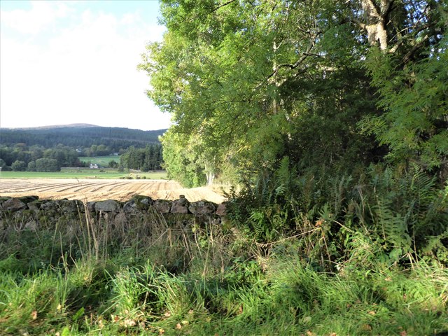
Brathens is a small village situated in the county of Kincardineshire, Scotland. Located approximately 8 miles northwest of the town of Stonehaven, it is nestled in a picturesque rural setting surrounded by rolling hills and lush green landscapes. The village is a part of the larger parish of Fetteresso and falls within the local council area of Aberdeenshire.
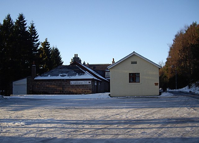
Brathens is known for its tranquility and its close-knit community. The village is home to a small population, predominantly engaged in agriculture and other rural activities. The traditional stone-built houses give the village a charming and timeless feel.
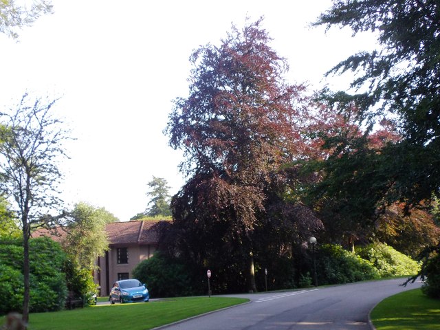
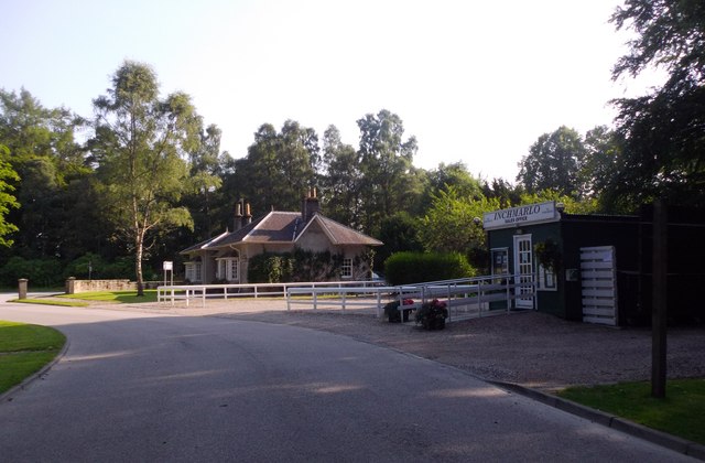
Despite its small size, Brathens offers basic amenities to its residents. These include a primary school, a village hall, and a local pub, which serves as a meeting place for locals. The village hall hosts various events and gatherings throughout the year, fostering a strong sense of community spirit.
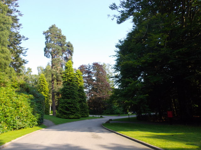
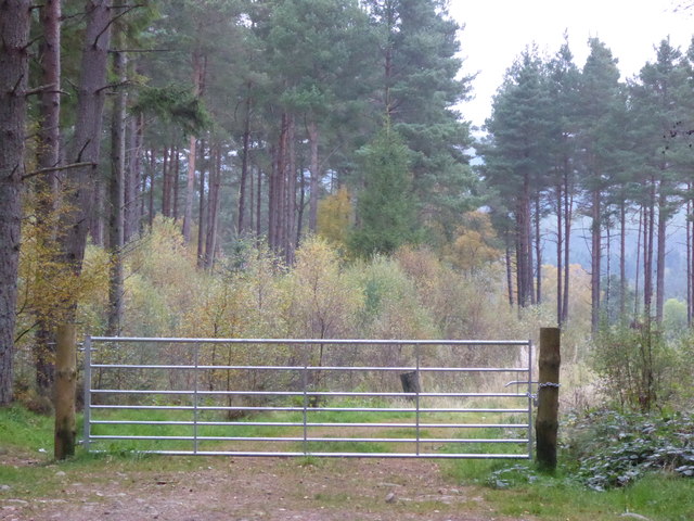
The surrounding area provides ample opportunities for outdoor activities and exploration. The nearby forests, hills, and rivers offer beautiful walking trails and fishing spots, attracting nature enthusiasts and outdoor lovers. Additionally, the quaint village is conveniently located near popular tourist destinations such as Dunnottar Castle and the stunning coastline, making it an ideal base for visitors to explore the region.
Brathens is a peaceful and idyllic village that offers a charming rural lifestyle surrounded by natural beauty. Its strong community spirit and proximity to both nature and historical landmarks make it a desirable place to live or visit in Kincardineshire.
If you have any feedback on the listing, please let us know in the comments section below.
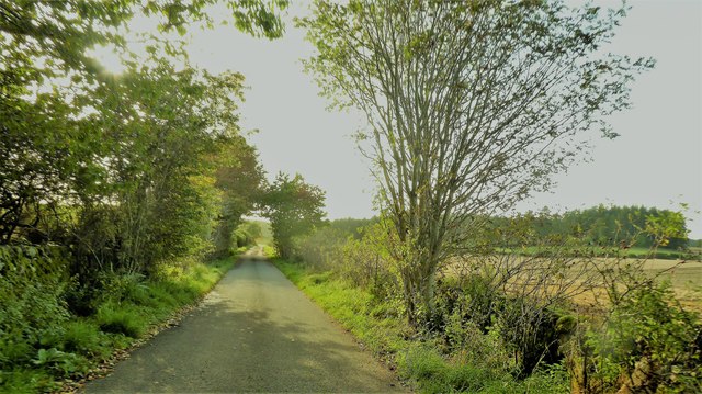
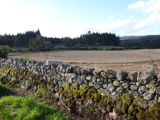
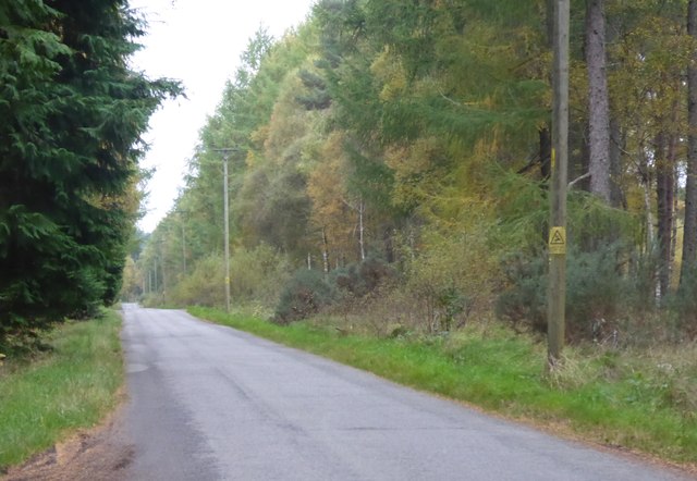
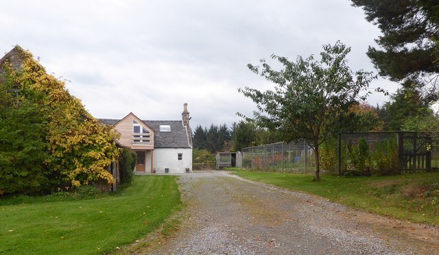
Brathens Images
Images are sourced within 2km of 57.073288/-2.533359 or Grid Reference NO6798. Thanks to Geograph Open Source API. All images are credited.

Brathens is located at Grid Ref: NO6798 (Lat: 57.073288, Lng: -2.533359)
Unitary Authority: Aberdeenshire
Police Authority: North East
What 3 Words
///economics.feeds.historic. Near Banchory, Aberdeenshire
Nearby Locations
Related Wikis

Brathens
Brathens is a village in Aberdeenshire, Scotland. == References ==

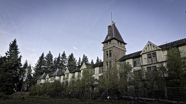
Glen o' Dee Hospital
Glen o' Dee Hospital is situated in the west end of Banchory, Aberdeenshire, Scotland. It is a small community hospital that provides services for the...

Cluny Crichton Castle
Cluny Crichton Castle (also known as Clounie Crighton Castle) is a ruined 3-story tower house on the southern slopes of the Hill of Fare in Aberdeenshire...

Raemoir House
Raemoir House is a Category B listed Georgian mansion house located in Banchory, Aberdeenshire, Scotland. Its origins date back to the Ha'Hoose (Hall House...

Beltie Burn
The Beltie Burn is a burn in Aberdeenshire, Scotland, which below Torphins and Glassel is known as the Burn of Canny. It begins in the hill of Benaquhallie...

Glassel railway station
Glassel railway station is a disused railway station in Britain. It served Glassel House, the Mill of Beltie and the local farms and the inhabitants of...
Kinneskie Road drill hall, Banchory
The Kinneskie Road drill hall is a former military installation near Banchory, Scotland. == History == The building was designed as the headquarters of...

Banchory Town Hall
Banchory Town Hall is a municipal structure in the High Street, Banchory, Aberdeenshire, Scotland. The structure is primarily used as a community events...
Nearby Amenities
Located within 500m of 57.073288,-2.533359Have you been to Brathens?
Leave your review of Brathens below (or comments, questions and feedback).