Wick

Settlement in Somerset South Somerset

England

Wick

Flats fields, and a railway line out there somewhere
Flats fields, and a railway line out there somewhere Credit: Rob Purvis

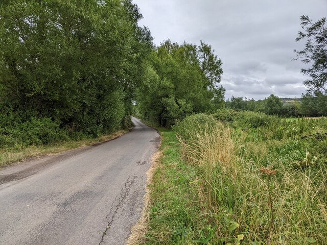
Wick is a small village located in the county of Somerset, England. Situated approximately 10 miles north of the town of Taunton, Wick is surrounded by picturesque countryside, making it an ideal place for those seeking a tranquil and peaceful setting.

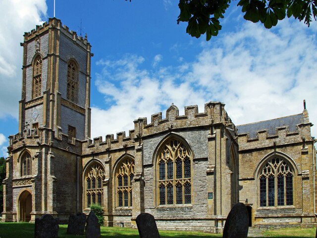
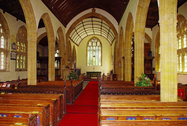
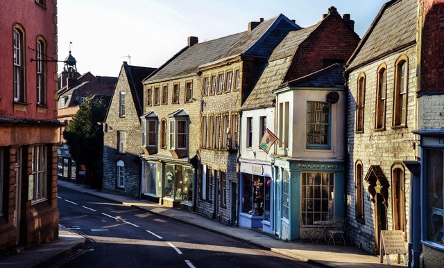
The village is characterized by its charming and traditional architecture, with many buildings dating back several centuries. It retains much of its historical charm, with thatched cottages and quaint village pubs adding to its appeal. The local church, St. Lawrence's Church, is a prominent feature in the village and is known for its beautiful stained glass windows.

Despite its small size, Wick has a strong sense of community, with various social events and activities held throughout the year. The village hall serves as a hub for these gatherings and is a focal point for local residents.

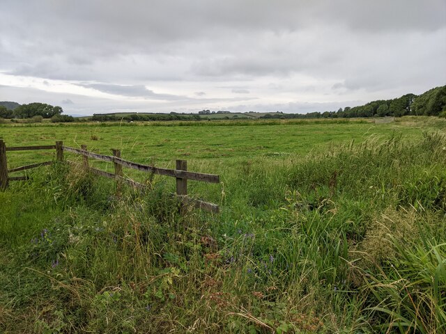
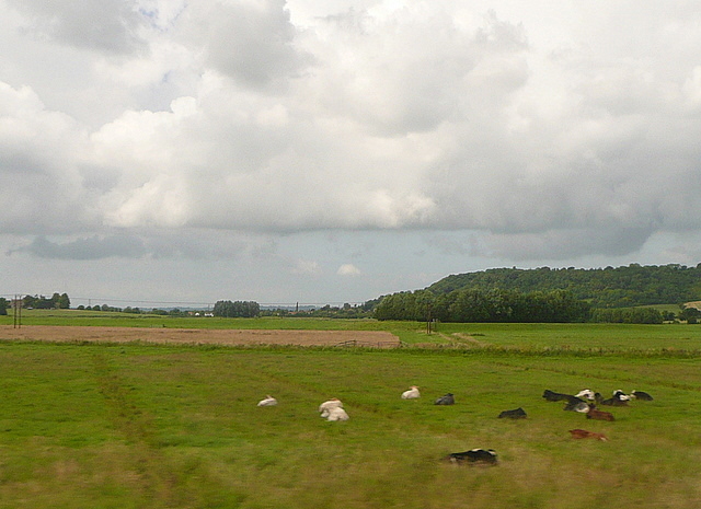
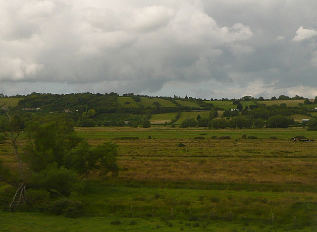
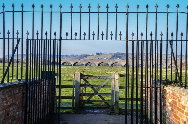
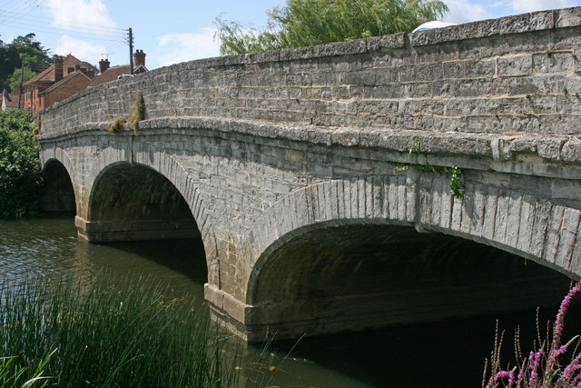
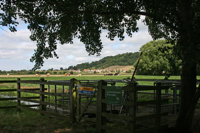
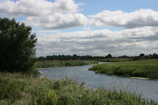
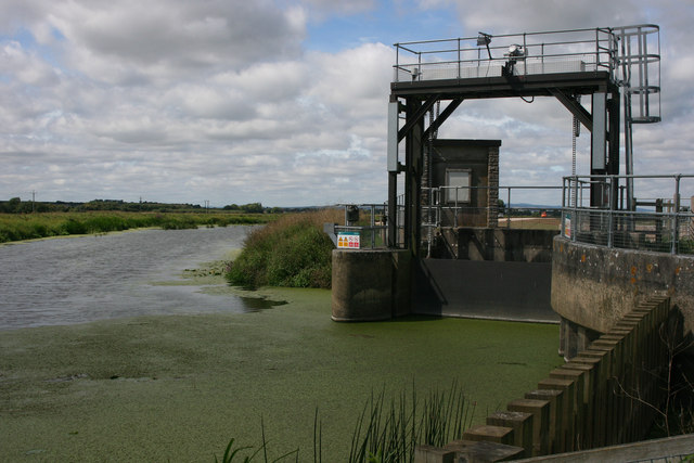
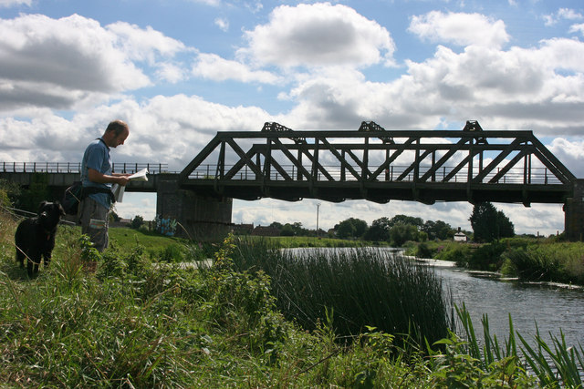
Wick is surrounded by stunning natural beauty, with the Somerset Levels to the west and the Quantock Hills to the east. These areas provide ample opportunities for outdoor activities such as hiking, cycling, and birdwatching. The nearby River Tone also offers a tranquil setting for fishing and boating enthusiasts.

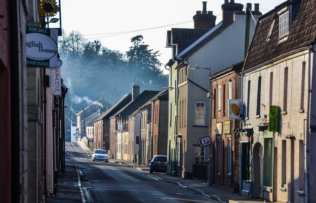
For amenities, residents of Wick can find a range of shops, including a local convenience store, in the neighboring village of Ruishton. Additionally, the larger town of Taunton is easily accessible by car or public transport, offering a wider range of amenities including shopping centers, restaurants, and leisure facilities.

Overall, Wick offers a peaceful and idyllic countryside lifestyle, combined with convenient access to nearby towns and stunning natural surroundings.

If you have any feedback on the listing, please let us know in the comments section below.

Wick Images

Images are sourced within 2km of 51.037993/-2.8562431 or Grid Reference ST4026. Thanks to Geograph Open Source API. All images are credited.

Flats fields, and a railway line out there somewhere
Lane heading towards Wick
Footpath crossing the railway line and houses in the distance
Lane heading north-west neat Oath
St. Andrew's, Curry Rivel, Somerset Late 15th/early 16th Century.
St. Andrew's, Curry Rivel, Somerset
Late 15th/early 16th Century.
St. Andrew's, Curry Rivel, Somerset The Nave, open Chancel and Apse.
St. Andrew's, Curry Rivel, Somerset
The Nave, open Chancel and Apse.
Port Moor Part of the Somerset Levels, where all the lines you see are one sort of ditch or another.  Looking north towards Aller Hill <a href="https://www.geograph.org.uk/gridref/ST4029">ST4029</a>
This photo was taken from the 1158 Penzance to London Paddington train, having left Taunton at 1529.
Port Moor
Part of the Somerset Levels, where all the lines you see are one sort of ditch or another. Looking north towards Aller Hill ST4029 This photo was taken from the 1158 Penzance to London Paddington train, having left Taunton at 1529.
Poolmead An area of what looks like particularly wet and poor quality pasture to the north-west of Langport, despite the many drainage ditches.  On the map this has almost a paddy field quality.
This photo was taken from the 1158 Penzance to London Paddington train, having left Taunton at 1529.
Poolmead
An area of what looks like particularly wet and poor quality pasture to the north-west of Langport, despite the many drainage ditches. On the map this has almost a paddy field quality. This photo was taken from the 1158 Penzance to London Paddington train, having left Taunton at 1529.
Langport: Bow Street
Langport: View across Little Moor towards the Viaduct
Langport: Bow Street
The Town Hall, Langport
Langport West station, with the final train to Yeovil Langport West station on the day that the Yeovil Town - Durston line closed. The final train for Yeovil awaits departure at dusk.
Langport West station, with the final train to Yeovil
Langport West station on the day that the Yeovil Town - Durston line closed. The final train for Yeovil awaits departure at dusk.
Langport bridge
Langport bridge
Coy Orchard Tilting Weir
River Parrett near Aller
Monk's Leaze Clyse on River Parrett
Rail bridge at Langport Common Moor
Show me another place!

Wick is located at Grid Ref: ST4026 (Lat: 51.037993, Lng: -2.8562431)

Administrative County: Somerset

District: South Somerset

Police Authority: Avon and Somerset

What 3 Words

///strain.unwraps.engrossed. Near Curry Rivel, Somerset

Related Wikis

Aller, Somerset

Aller is a village and parish in Somerset, England, situated 5 miles (8.0 km) west of Somerton on the A372 road towards Bridgwater. The village has a population...

Curry Rivel

Curry Rivel is a village and civil parish in Somerset, England, situated 6 miles (9.7 km) west of Somerton and 10 miles (16.1 km) east of Taunton in the...

Warehouse, Langport

The Warehouse in Great Bow Yard Langport, Somerset, England is an example of Victorian industrial architecture. The Warehouse was built in the late 18th...

St Andrew's Church, Curry Rivel

The Church of St Andrew in Curry Rivel, Somerset, England dates from the 13th century and is designated as a Grade I listed building. It was included in...

Nearby Amenities

Located within 500m of 51.037993,-2.8562431
Wick
Place: hamlet
Source: NPE
Lat/Long: 51.0377337/-2.8559562
Post Box
Letters Only: yes
Operator: Royal Mail
Operator Wikidata: Q638098
Post Box Design: waggon_top
Post Box Mounting: wall
Post Box Type: lamp
Ref: TA10 154
Royal Cypher: GVIR
Royal Cypher Wikidata: Q33102169
Lat/Long: 51.0378958/-2.8561808
Power: pole
Lat/Long: 51.0390831/-2.8493347
Wick Manor
Building: yes
Wikidata: Q26541384
Lat/Long: 51.0372066/-2.8565252
Wick dairy Farm
Building: yes
Lat/Long: 51.0375913/-2.8566513
Wick Cottage
Building: yes
Lat/Long: 51.037882/-2.8564528
The Old Orchard
Building: yes
Lat/Long: 51.0380787/-2.8568008
Perham Farmhouse
Building: yes
Lat/Long: 51.0382755/-2.8568054
Lilac Cottage
Building: yes
Lat/Long: 51.0380729/-2.8560629
Greystone
Building: yes
Lat/Long: 51.0380274/-2.8551406
The Willows
Building: yes
Lat/Long: 51.0380582/-2.854823
Bowdens View
Building: yes
Lat/Long: 51.0376702/-2.8504993
Power: pole
Lat/Long: 51.0365815/-2.8504896
Power: pole
Lat/Long: 51.0369093/-2.8514819
Power: pole
Lat/Long: 51.0374167/-2.8529737
Power: pole
Lat/Long: 51.0378462/-2.853793
Power: pole
Lat/Long: 51.0381867/-2.8544425
Power: pole
Lat/Long: 51.0385366/-2.8560646
Power: pole
Lat/Long: 51.0386304/-2.8564972
Power: pole
Transformer: distribution
Lat/Long: 51.0373056/-2.8505597
The data included in this document is from www.openstreetmap.org. The data is made available under ODbL.

Have you been to Wick?

Leave your review of Wick below (or comments, questions and feedback).