Wick
Settlement in Somerset Sedgemoor
England
Wick

Wick is a small village located in the county of Somerset in England. Situated approximately 10 miles south of the city of Bath, Wick lies on the A36 road, connecting it to nearby towns and cities. The village is surrounded by picturesque countryside and offers stunning views of the Mendip Hills, making it a popular destination for nature enthusiasts and hikers.
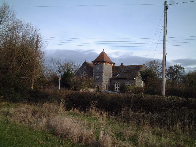
Wick has a rich history dating back to the Roman era, with several archaeological sites in the area, including the remains of a Roman villa. The village is also known for its historic church, St. Lawrence's, which dates back to the 12th century. This beautiful church features stunning stained glass windows and is a prominent landmark in the village.
The village of Wick boasts a tight-knit community and has a range of amenities to serve its residents. These include a primary school, a village hall, a post office, and a pub. The local pub, The King William, offers a friendly atmosphere and is a popular spot for locals and visitors alike.
Wick is well-connected to surrounding areas, with regular bus services running through the village, providing easy access to nearby towns and cities. The village also benefits from its proximity to Bath, with its wide range of cultural, shopping, and leisure facilities just a short drive away.
Overall, Wick is a charming village with a rich history, stunning natural surroundings, and a close-knit community, making it an attractive place to live or visit for those seeking a peaceful and picturesque setting.
If you have any feedback on the listing, please let us know in the comments section below.
Wick Images
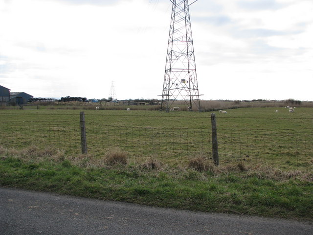
Images are sourced within 2km of 51.277276/-2.9713653 or Grid Reference ST3253. Thanks to Geograph Open Source API. All images are credited.


Wick is located at Grid Ref: ST3253 (Lat: 51.277276, Lng: -2.9713653)
Administrative County: Somerset
District: Sedgemoor
Police Authority: Avon and Somerset
What 3 Words
///remaining.client.hungry. Near Brent Knoll, Somerset
Nearby Locations
Related Wikis
Lympsham
Lympsham is a village and civil parish six miles west of Axbridge and six miles south-east of Weston-super-Mare, close to the River Axe in Somerset, England...

Astro Storm
Astro Storm is an enclosed, sit down roller coaster at Brean Leisure Park in Brean, England, created by German amusement ride manufacturer Zierer. It was...

Bulldog Coaster (Brean Leisure Park)
Bulldog Coaster, formerly named Shock Wave or Crazy Loop is a roller coaster at Brean Leisure Park in Brean, Somerset, England. The ride, which was manufactured...

Brean Leisure Park
Brean Leisure Park is an amusement park in the coastal resort of Brean, near Burnham-on-Sea, Somerset, England. The park covers an area of 200 acres (80...
Nearby Amenities
Located within 500m of 51.277276,-2.9713653Have you been to Wick?
Leave your review of Wick below (or comments, questions and feedback).