Wick Hill

Hill, Mountain in Somerset South Somerset

England

Wick Hill

Flats fields, and a railway line out there somewhere
Flats fields, and a railway line out there somewhere Credit: Rob Purvis

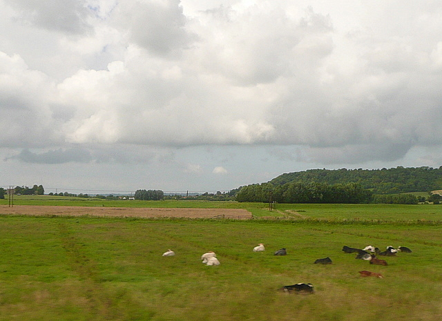
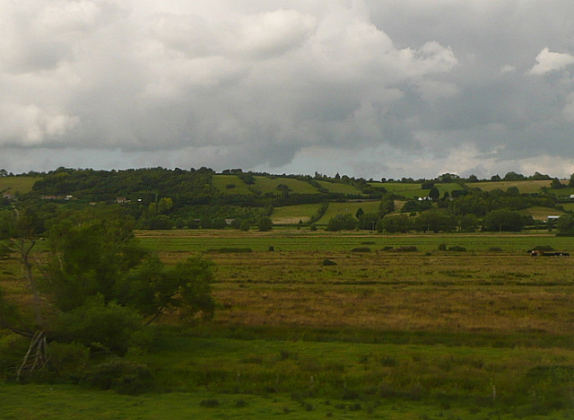
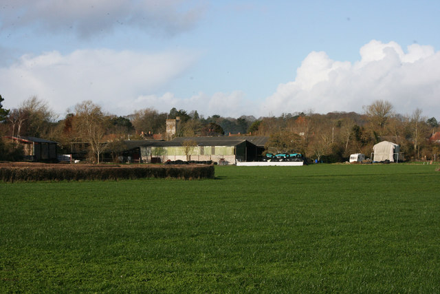
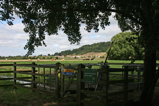
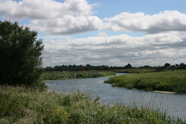
Wick Hill, located in Somerset, England, is a picturesque and charming hill that forms part of the Mendip Hills range. Situated in the southwestern region of the country, Wick Hill offers breathtaking panoramic views of the surrounding countryside and is a popular destination for nature enthusiasts and hikers.

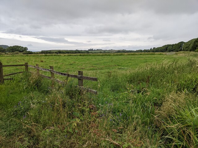
Rising to an elevation of approximately 250 meters (820 feet), Wick Hill boasts a diverse range of flora and fauna, making it an ideal spot for wildlife observation and conservation activities. The hill is covered in verdant grasslands, interspersed with patches of heathland and woodlands, creating a rich and varied habitat for various species of plants and animals.

The summit of Wick Hill provides an excellent vantage point, allowing visitors to marvel at the rolling hills, meandering rivers, and distant villages that dot the landscape. On clear days, it is even possible to catch a glimpse of the Bristol Channel and the Welsh coastline.

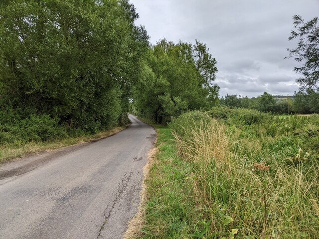
The area around Wick Hill is crisscrossed by a network of footpaths and bridleways, enabling visitors to explore the hill and its surroundings at their own pace. The hill is also home to several ancient burial mounds and archaeological sites, providing a glimpse into the rich history and heritage of the region.

Whether it is a leisurely stroll, a challenging hike, or a peaceful picnic, Wick Hill offers something for everyone. Its natural beauty, tranquility, and captivating vistas make it a must-visit destination for those seeking solace in nature or a respite from the bustle of everyday life.

If you have any feedback on the listing, please let us know in the comments section below.

Wick Hill Images

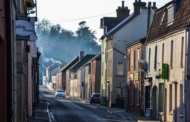
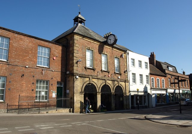
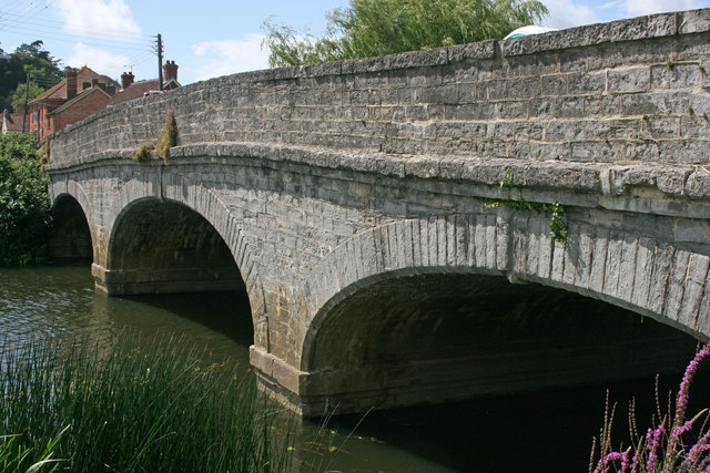
Images are sourced within 2km of 51.035565/-2.8562554 or Grid Reference ST4026. Thanks to Geograph Open Source API. All images are credited.

Flats fields, and a railway line out there somewhere
Lane heading towards Wick
Footpath crossing the railway line and houses in the distance
Lane heading north-west neat Oath
St. Andrew's, Curry Rivel, Somerset Late 15th/early 16th Century.
St. Andrew's, Curry Rivel, Somerset
Late 15th/early 16th Century.
St. Andrew's, Curry Rivel, Somerset The Nave, open Chancel and Apse.
St. Andrew's, Curry Rivel, Somerset
The Nave, open Chancel and Apse.
Port Moor Part of the Somerset Levels, where all the lines you see are one sort of ditch or another.  Looking north towards Aller Hill <a href="https://www.geograph.org.uk/gridref/ST4029">ST4029</a>
This photo was taken from the 1158 Penzance to London Paddington train, having left Taunton at 1529.
Port Moor
Part of the Somerset Levels, where all the lines you see are one sort of ditch or another. Looking north towards Aller Hill ST4029 This photo was taken from the 1158 Penzance to London Paddington train, having left Taunton at 1529.
Poolmead An area of what looks like particularly wet and poor quality pasture to the north-west of Langport, despite the many drainage ditches.  On the map this has almost a paddy field quality.
This photo was taken from the 1158 Penzance to London Paddington train, having left Taunton at 1529.
Poolmead
An area of what looks like particularly wet and poor quality pasture to the north-west of Langport, despite the many drainage ditches. On the map this has almost a paddy field quality. This photo was taken from the 1158 Penzance to London Paddington train, having left Taunton at 1529.
Drayton from Latch Meads
Drayton church
Drayton church
Langport: Bow Street
Langport: View across Little Moor towards the Viaduct
Langport: Bow Street
The Town Hall, Langport
Langport West station, with the final train to Yeovil Langport West station on the day that the Yeovil Town - Durston line closed. The final train for Yeovil awaits departure at dusk.
Langport West station, with the final train to Yeovil
Langport West station on the day that the Yeovil Town - Durston line closed. The final train for Yeovil awaits departure at dusk.
Langport bridge
Langport bridge
Coy Orchard Tilting Weir
River Parrett near Aller
Show me another place!

Wick Hill is located at Grid Ref: ST4026 (Lat: 51.035565, Lng: -2.8562554)

Administrative County: Somerset

District: South Somerset

Police Authority: Avon and Somerset

What 3 Words

///escorting.ferrying.denoting. Near Curry Rivel, Somerset

Related Wikis

Curry Rivel

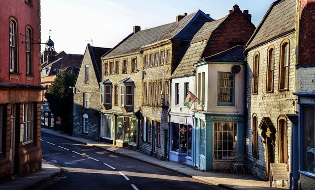
Curry Rivel is a village and civil parish in Somerset, England, situated 6 miles (9.7 km) west of Somerton and 10 miles (16.1 km) east of Taunton in the...

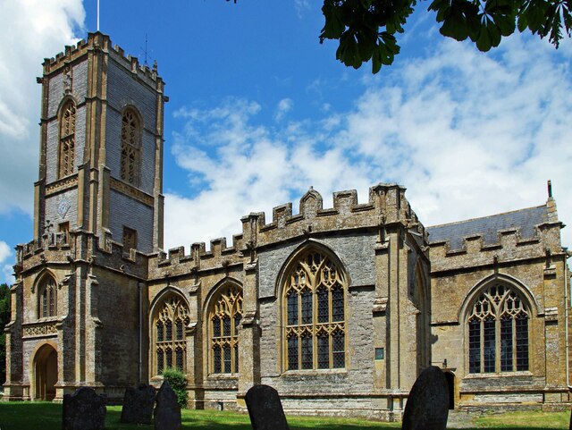
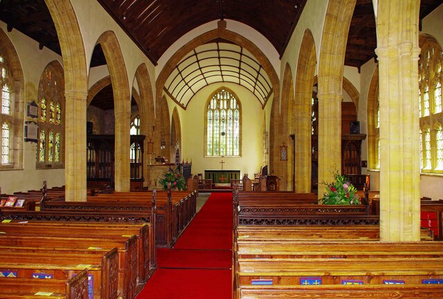
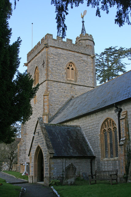
St Andrew's Church, Curry Rivel

The Church of St Andrew in Curry Rivel, Somerset, England dates from the 13th century and is designated as a Grade I listed building. It was included in...

Warehouse, Langport

The Warehouse in Great Bow Yard Langport, Somerset, England is an example of Victorian industrial architecture. The Warehouse was built in the late 18th...

Aller, Somerset

Aller is a village and parish in Somerset, England, situated 5 miles (8.0 km) west of Somerton on the A372 road towards Bridgwater. The village has a population...

Nearby Amenities

Located within 500m of 51.035565,-2.8562554
Wick
Place: hamlet
Source: NPE
Lat/Long: 51.0377337/-2.8559562
Power: pole
Source: bing
Lat/Long: 51.0350217/-2.8508392
Power: pole
Source: bing
Lat/Long: 51.0355665/-2.8499433
Power: pole
Source: bing
Lat/Long: 51.0315726/-2.8564407
Power: pole
Source: bing
Lat/Long: 51.0322303/-2.8553618
Power: pole
Source: bing
Lat/Long: 51.0328568/-2.8543475
Power: pole
Source: bing
Lat/Long: 51.0334995/-2.8532961
Power: pole
Source: bing
Lat/Long: 51.0341644/-2.8522272
Power: pole
Source: bing
Lat/Long: 51.0345781/-2.8515513
Post Box
Letters Only: yes
Operator: Royal Mail
Operator Wikidata: Q638098
Post Box Design: waggon_top
Post Box Mounting: wall
Post Box Type: lamp
Ref: TA10 154
Royal Cypher: GVIR
Royal Cypher Wikidata: Q33102169
Lat/Long: 51.0378958/-2.8561808
Wick Manor
Building: yes
Wikidata: Q26541384
Lat/Long: 51.0372066/-2.8565252
Wick dairy Farm
Building: yes
Lat/Long: 51.0375913/-2.8566513
Wick Cottage
Building: yes
Lat/Long: 51.037882/-2.8564528
The Old Orchard
Building: yes
Lat/Long: 51.0380787/-2.8568008
Perham Farmhouse
Building: yes
Lat/Long: 51.0382755/-2.8568054
Lilac Cottage
Building: yes
Lat/Long: 51.0380729/-2.8560629
Greystone
Building: yes
Lat/Long: 51.0380274/-2.8551406
The Willows
Building: yes
Lat/Long: 51.0380582/-2.854823
Bowdens View
Building: yes
Lat/Long: 51.0376702/-2.8504993
Power: pole
Source: bing
Lat/Long: 51.03412/-2.8522121
Power: pole
Source: bing
Lat/Long: 51.032728/-2.8515905
Power: pole
Source: bing
Lat/Long: 51.0334196/-2.8519003
Power: pole
Lat/Long: 51.0365815/-2.8504896
Power: pole
Lat/Long: 51.0369093/-2.8514819
Power: pole
Lat/Long: 51.0374167/-2.8529737
Power: pole
Lat/Long: 51.0378462/-2.853793
Power: pole
Lat/Long: 51.0381867/-2.8544425
Power: pole
Lat/Long: 51.0385366/-2.8560646
Power: pole
Lat/Long: 51.0386304/-2.8564972
Power: pole
Transformer: distribution
Lat/Long: 51.0373056/-2.8505597
The data included in this document is from www.openstreetmap.org. The data is made available under ODbL.

Have you been to Wick Hill?

Leave your review of Wick Hill below (or comments, questions and feedback).