Wigmore Rolls

Hill, Mountain in Herefordshire

England

Wigmore Rolls

Wigmore Rolls Forested hill above Wigmore.
Wigmore Rolls Credit: Richard Webb

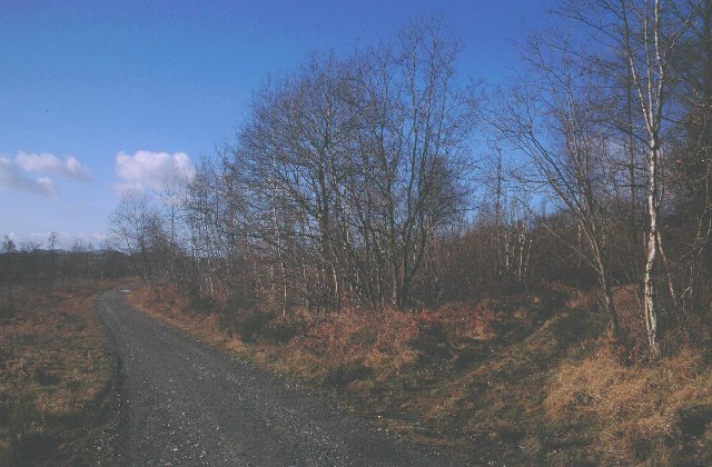
Wigmore Rolls is a small hill located in Herefordshire, England. Situated in the eastern part of the county, it forms part of the wider landscape of the Mortimer Forest. With an elevation of approximately 400 meters (1,312 feet), Wigmore Rolls is often referred to as a hill rather than a mountain due to its modest height.

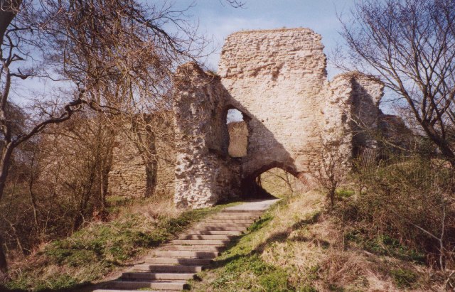
The hill is characterized by its undulating landscape, rolling green hills, and an abundance of natural beauty. It offers panoramic views of the surrounding countryside, including the nearby Wigmore Castle, which stands as a testament to the area's rich history. The Castle was once a stronghold of the Mortimer family, who played a significant role in the medieval period.

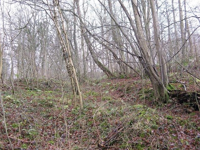
Wigmore Rolls is a popular destination for walkers, hikers, and nature enthusiasts. It offers a variety of footpaths and trails, allowing visitors to explore the area's diverse flora and fauna. The hill is covered in lush vegetation, including oak and beech trees, providing a habitat for a range of wildlife, such as deer, foxes, and various bird species.

The hill's peaceful and idyllic setting makes it an ideal spot for picnics, photography, and simply enjoying the tranquility of the countryside. Visitors can also engage in outdoor activities like orienteering or geocaching, adding an element of adventure to their visit.

In conclusion, Wigmore Rolls in Herefordshire is a picturesque hill that offers stunning views, an array of walking trails, and a chance to connect with nature. Its historical significance and natural beauty make it a must-visit destination for both locals and tourists alike.

If you have any feedback on the listing, please let us know in the comments section below.

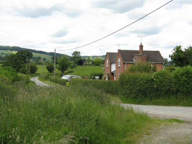
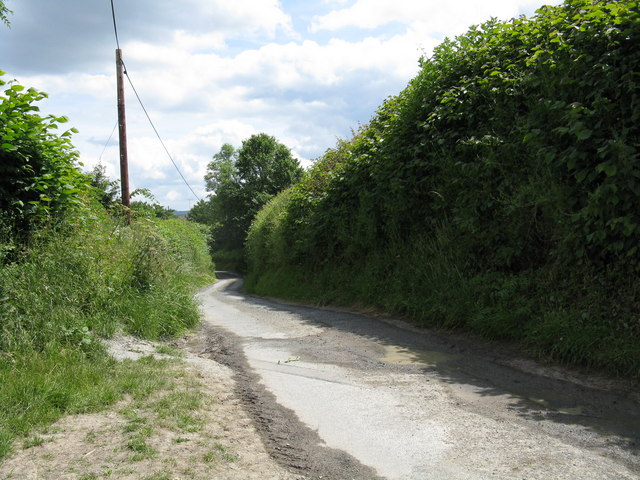
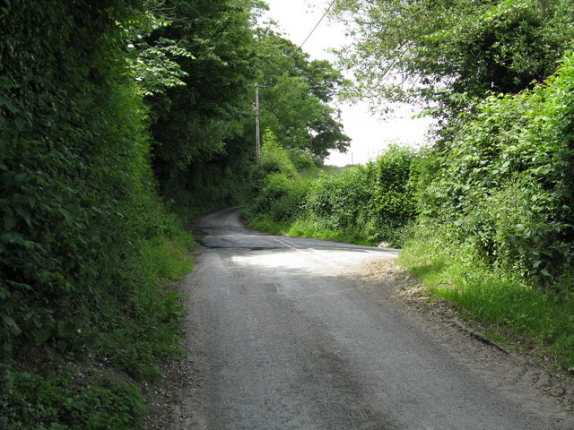
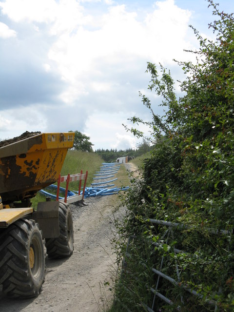
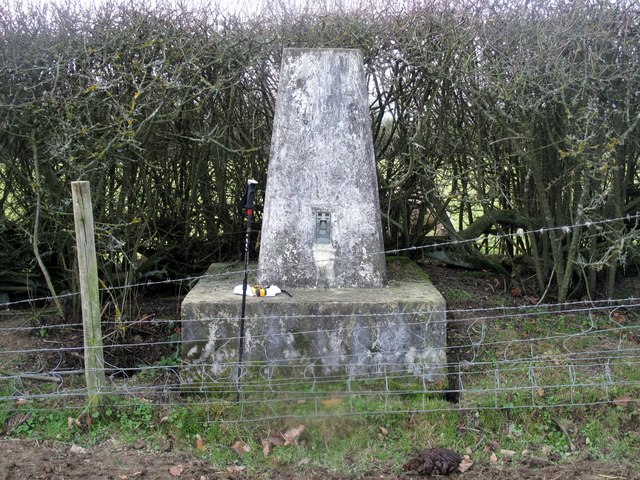
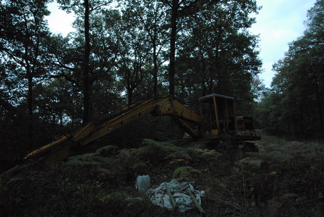
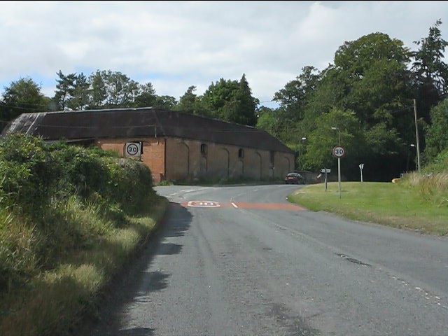
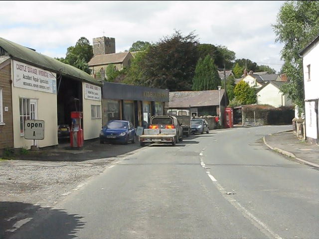
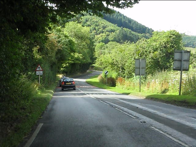
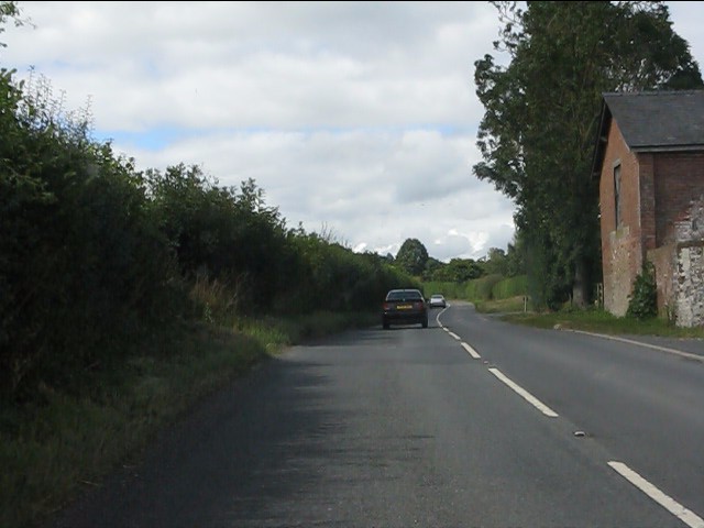
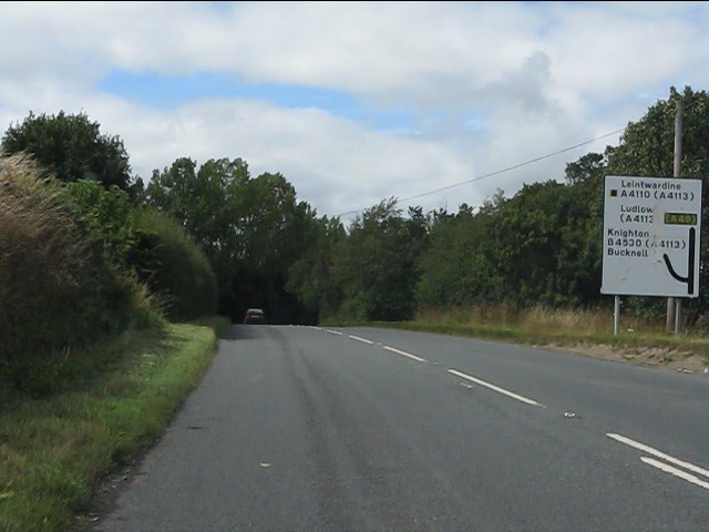
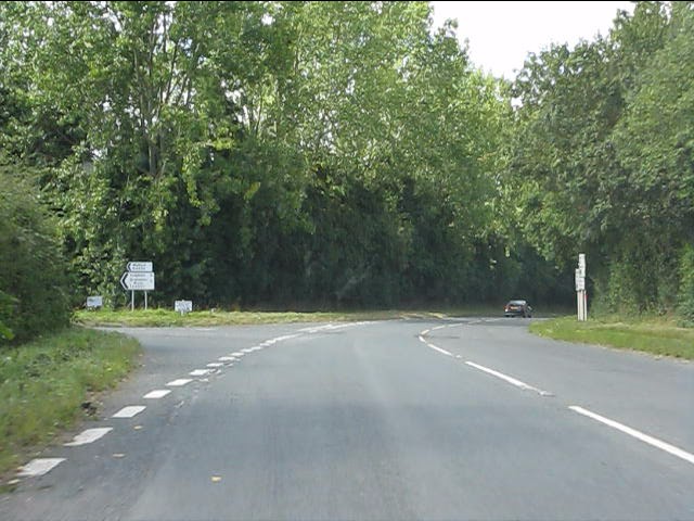
Wigmore Rolls Images

Images are sourced within 2km of 52.322479/-2.8808418 or Grid Reference SO4069. Thanks to Geograph Open Source API. All images are credited.

Wigmore Rolls Forested hill above Wigmore.
Wigmore Rolls
Forested hill above Wigmore.
Barnett Wood A mostly deciduous wood above Wigmore. It is a delightful place to visit, being a remnant of the oakwoods that once covered much of NW Herefordshire before the coming of the conifers. (Note most trees in this part of the wood are chestnut and birch) Oaks were coppiced for charcoal burning. The charcoal feeding the local iron smelting industry.
Barnett Wood
A mostly deciduous wood above Wigmore. It is a delightful place to visit, being a remnant of the oakwoods that once covered much of NW Herefordshire before the coming of the conifers. (Note most trees in this part of the wood are chestnut and birch) Oaks were coppiced for charcoal burning. The charcoal feeding the local iron smelting industry.
Cattle, above Lodge Farm Winter fodder for cattle, put out in a small oakwood. Wigmore Rolls in the background.
Cattle, above Lodge Farm
Winter fodder for cattle, put out in a small oakwood. Wigmore Rolls in the background.
Lower House
Lower House
Sheep Pasture This large field is hemmed in between Wigmore Wood and the byway up from Letton.  The byway is overgrown and blocked with dumped grass and other detritus where it leaves the public road (as at June 2008), but a farm track parallels it on the other side of the fence. Access is straightforward, provided you have long enough legs to negotiate a couple of electric fences!
Sheep Pasture
This large field is hemmed in between Wigmore Wood and the byway up from Letton. The byway is overgrown and blocked with dumped grass and other detritus where it leaves the public road (as at June 2008), but a farm track parallels it on the other side of the fence. Access is straightforward, provided you have long enough legs to negotiate a couple of electric fences!
Corner House
Corner House
Down the lane
Down the lane
Junction for Lower House lane
Men at Work Burly gentlemen were digging trenches and laying pipe on this track.
Men at Work
Burly gentlemen were digging trenches and laying pipe on this track.
Wigmore Rolls Trig Point S7901 Parked by the pub in village then walked through the church yard, castle and up the side of wood to bag top and trig. Some horny old vocal Hereford X cows and calves in field.
Wigmore Rolls Trig Point S7901
Parked by the pub in village then walked through the church yard, castle and up the side of wood to bag top and trig. Some horny old vocal Hereford X cows and calves in field.
Abandoned digger in Barnett Wood I came across this digger abandoned in the woods and looking like some kind of prehistoric monster. There's a permissive path through these private woods which is only used by a few locals: we were on the way from my friends' house in Wigmore to the George Inn at Lingen, which is a fine pub. Taken with the last of the light using a very high ISO setting, which accounts for the graininess of the image.
Abandoned digger in Barnett Wood
I came across this digger abandoned in the woods and looking like some kind of prehistoric monster. There's a permissive path through these private woods which is only used by a few locals: we were on the way from my friends' house in Wigmore to the George Inn at Lingen, which is a fine pub. Taken with the last of the light using a very high ISO setting, which accounts for the graininess of the image.
A4110 enters Wigmore from the south
Castle Garage, Wigmore
A4110 heading north from Wigmore
A4110 at Gotherment
A4110 at Gotherment
A4110 approaching the junction for Knighton (B4530)
A4110 at the junction for Knighton (B4530)
St James' church Wigmore View of the back of St James' church in Wigmore, Herefordshire.
St James' church Wigmore
View of the back of St James' church in Wigmore, Herefordshire.
Show me another place!

Wigmore Rolls is located at Grid Ref: SO4069 (Lat: 52.322479, Lng: -2.8808418)

Unitary Authority: County of Herefordshire

Police Authority: West Mercia

What 3 Words

///shortcuts.media.decisive. Near Wigmore, Herefordshire

Related Wikis

Wigmore Castle

Wigmore Castle is a ruined castle about 1 km (0.62 mi) from the village of Wigmore in the northwest region of Herefordshire, England. == History == Wigmore...

Adforton

Adforton is a small village and a civil parish in north Herefordshire, England. It is on the A4110 main road approximately 22 miles (35 km) north of Hereford...

Wigmore, Herefordshire

Wigmore is a village and civil parish in the northwest part of the county of Herefordshire, England. It is located on the A4110 road, about 8 miles (13...

Wigmore Hall, Herefordshire

Wigmore Hall is a Grade II listed building in the village of Wigmore in Herefordshire, England. == History == Wigmore Hall dates from the 16th century...

Nearby Amenities

Located within 500m of 52.322479,-2.8808418
The data included in this document is from www.openstreetmap.org. The data is made available under ODbL.

Have you been to Wigmore Rolls?

Leave your review of Wigmore Rolls below (or comments, questions and feedback).