Benscravie

Hill, Mountain in Angus

Scotland

Benscravie

Bridgend, Glen Moy Fallen trees after storm Arwen on 26 November 2021
Bridgend, Glen Moy Credit: jamesnicoll

Benscravie is a prominent hill located in the county of Angus, Scotland. Situated in the eastern part of the country, it forms part of the Grampian Mountains. At an elevation of approximately 529 meters (1,736 feet), Benscravie offers breathtaking panoramic views of the surrounding landscape.

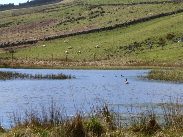
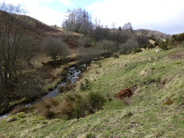
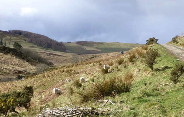
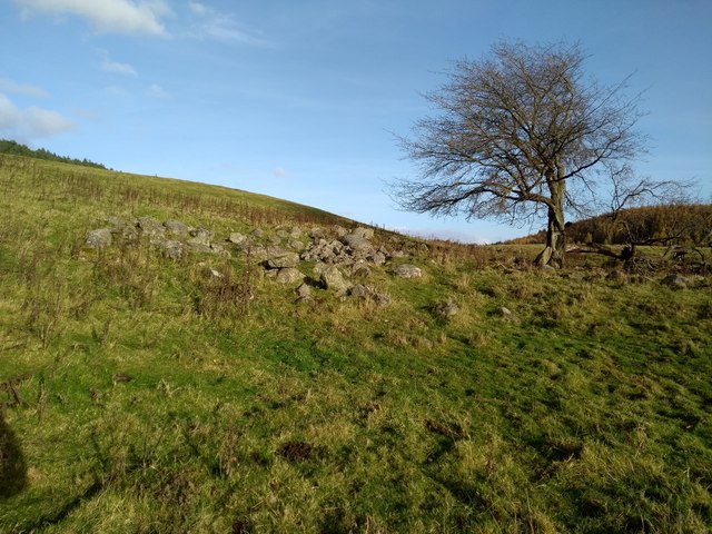
The hill is characterized by its rugged terrain, with steep slopes and rocky outcrops. It is covered in a mixture of heather, grasses, and scattered shrubs, creating a picturesque landscape. Benscravie is a popular destination for hikers and nature enthusiasts, who are attracted by its challenging trails and stunning vistas.

The summit of Benscravie rewards climbers with spectacular views of the surrounding Angus Glens and the nearby Strathmore Valley. On clear days, it is possible to see as far as the Cairngorms National Park to the north.

The hill is also home to a variety of wildlife, including red deer, mountain hares, and numerous bird species. The area is known for its rich biodiversity, making it an important habitat for conservation efforts.

Access to Benscravie is relatively straightforward, with several paths and trails leading to the summit. The hill is part of a larger network of walking routes, allowing visitors to explore the surrounding countryside.

Overall, Benscravie is a captivating natural landmark, offering both beauty and adventure to those who venture to its heights.

If you have any feedback on the listing, please let us know in the comments section below.
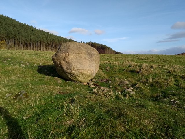
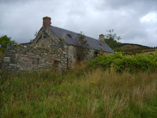
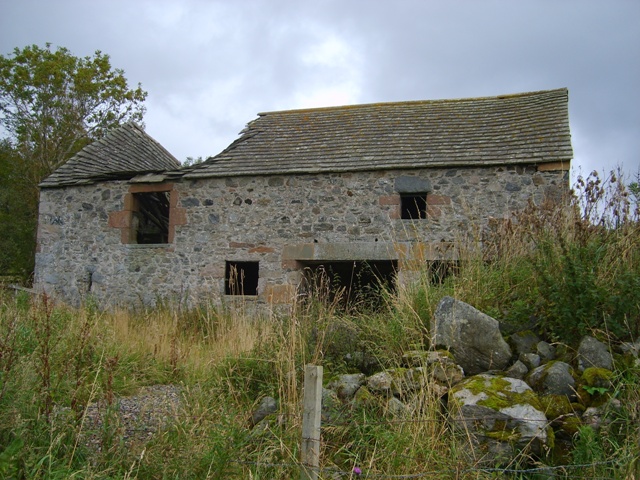
Benscravie Images

Images are sourced within 2km of 56.752595/-2.9819586 or Grid Reference NO4062. Thanks to Geograph Open Source API. All images are credited.

Bridgend, Glen Moy Fallen trees after storm Arwen on 26 November 2021
Bridgend, Glen Moy
Fallen trees after storm Arwen on 26 November 2021
Ducks and geese on the pond And sheep in the meadow.
Rustic life below Horniehaugh.
Ducks and geese on the pond
And sheep in the meadow. Rustic life below Horniehaugh.
White Burn North of Horniehaugh.
White Burn
North of Horniehaugh.
Track to Anniegathel Up the valley of the White Burn.
Benscravie on the left.
Track to Anniegathel
Up the valley of the White Burn. Benscravie on the left.
Glenmoy Farm Glenmoy Farm in the early morning light, from the end of the public road up the glen.
Glenmoy Farm
Glenmoy Farm in the early morning light, from the end of the public road up the glen.
Lonely track The track heading from Baikies to Buckies.
Lonely track
The track heading from Baikies to Buckies.
Broomfauld Cottage Modernised house, Broomfauld.
Broomfauld Cottage
Modernised house, Broomfauld.
Track to Broomfauld Looking east to Broomfauld and the southern slope of Knock Hill.
Track to Broomfauld
Looking east to Broomfauld and the southern slope of Knock Hill.
Ruins of Greenhow Depicted on 19th century OS maps as Greenhow.
Ruins of Greenhow
Depicted on 19th century OS maps as Greenhow.
The Knock The Knock (or Knock Hill) between Glen Clova and Glenquiech.
The Knock
The Knock (or Knock Hill) between Glen Clova and Glenquiech.
Boulder An erratic, I think. The southern slope of Auld Man behind.
Boulder
An erratic, I think. The southern slope of Auld Man behind.
Shallgreen track Improved track between Rashiebog and Shallgreen in Glenquiech
Shallgreen track
Improved track between Rashiebog and Shallgreen in Glenquiech
Little Benscreavie Ghastly low contrast moorland on a dreich morning in Glen Moy. It looks so much more pleasant in the other sunny shots.
Little Benscreavie
Ghastly low contrast moorland on a dreich morning in Glen Moy. It looks so much more pleasant in the other sunny shots.
Bridge, Glen Moy Crossing the Burn of Glenmoye burn near the end of the public road. There are the remains of an old road sign on the far side.
Bridge, Glen Moy
Crossing the Burn of Glenmoye burn near the end of the public road. There are the remains of an old road sign on the far side.
Old road sign, Glen Moy So tempting to paint S P Q R on it.  The sign is well rusted and illegible now.
Old road sign, Glen Moy
So tempting to paint S P Q R on it. The sign is well rusted and illegible now.
Between Glenquiech and Glenmoy The Glack between Glens Quiech and Moy. The Airlie Monument can be seen in the distance.
Between Glenquiech and Glenmoy
The Glack between Glens Quiech and Moy. The Airlie Monument can be seen in the distance.
Bogside Farmhouse Derelict farm in Glenmoy
Bogside Farmhouse
Derelict farm in Glenmoy
Old mill at Bogside The threshing mill machinery was located in the left side of this building. The water was supplied from a small dam by the roadside. The upper part of this building was a loft.
Old mill at Bogside
The threshing mill machinery was located in the left side of this building. The water was supplied from a small dam by the roadside. The upper part of this building was a loft.
Show me another place!

Benscravie is located at Grid Ref: NO4062 (Lat: 56.752595, Lng: -2.9819586)

Unitary Authority: Angus

Police Authority: Tayside

What 3 Words

///cherish.plus.tucked. Near Kirriemuir, Angus

Nearby Locations

Benscravie

Related Wikis

Cortachy

Cortachy is a village in Angus, Scotland. It lies in at the mouth of Glen Clova, on the River South Esk, four miles north of Kirriemuir. Nearby lies Cortachy...

Cortachy Castle

Cortachy Castle is a castellated mansion House at Cortachy, Angus, Scotland, some four miles north of Kirriemuir. The present building dates from the 15th...

Mile Hill, Dykehead

There is another Mile Hill nearby which is a MarilynMile Hill is located in Angus, Scotland, 1000 metres west of Dykehead. It is a circular hill rising...

Memus

Memus is a small village in Angus, Scotland, north of Kirriemuir. It is home to the Drovers Pub. A story is told of a kelpie at Shielhill Bridge, leaving...

Nearby Amenities

Located within 500m of 56.752595,-2.9819586
Benscravie
Ele: 427
Natural: peak
Lat/Long: 56.7514033/-2.9820181
The data included in this document is from www.openstreetmap.org. The data is made available under ODbL.

Have you been to Benscravie?

Leave your review of Benscravie below (or comments, questions and feedback).