Portway
Settlement in Somerset South Somerset
England
Portway
Portway is a small village located in the county of Somerset, England. Situated in the South West region of the country, Portway falls within the administrative district of Mendip. It is positioned approximately 3 miles north of the town of Wells and 22 miles south of the city of Bristol.
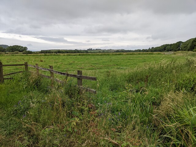
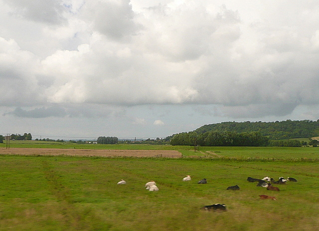
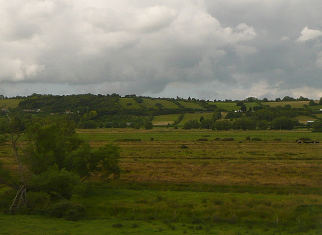
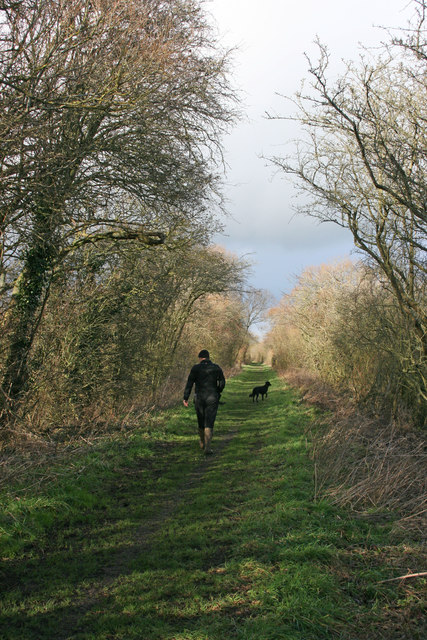
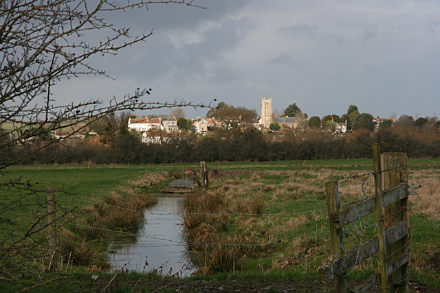
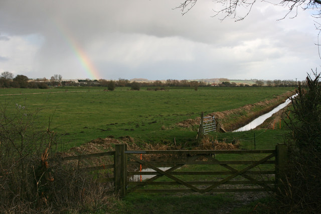
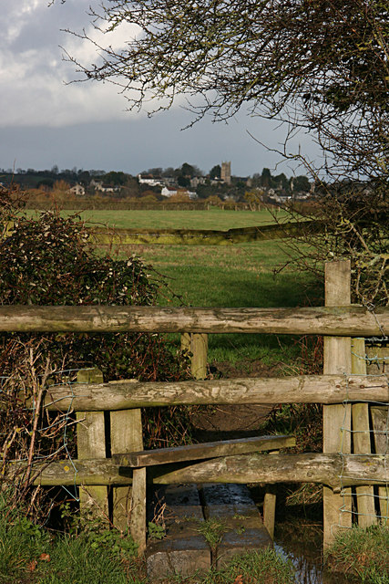
The village is surrounded by picturesque countryside, offering residents and visitors alike stunning views of the surrounding Mendip Hills. Portway is known for its tranquil environment and peaceful atmosphere, making it an ideal place for those seeking a quiet and rural lifestyle.
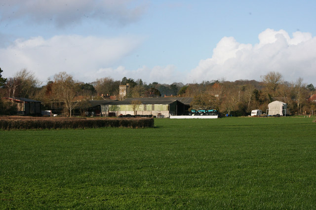
The village itself is relatively small, with a population of around 300 people. It features a mix of traditional stone cottages and more modern housing, providing a range of options for residents. Although small, Portway does have a community hall, providing a venue for various events and gatherings.
While Portway does not have its own primary school or shops, there are amenities available in the nearby towns of Wells and Shepton Mallet. These include schools, supermarkets, and a range of shops, making it convenient for residents to access everyday services and necessities.
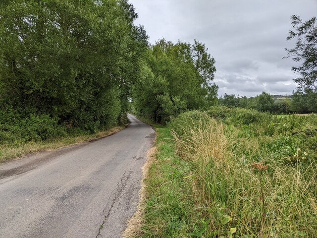
Portway benefits from its proximity to the Mendip Hills, which offer ample opportunities for outdoor activities such as hiking, cycling, and horse riding. The village is also well-connected, with good road links to nearby towns and cities, allowing for easy travel and commuting options.
Overall, Portway is a charming village that offers a peaceful and rural lifestyle, surrounded by beautiful countryside and with convenient access to nearby amenities.
If you have any feedback on the listing, please let us know in the comments section below.
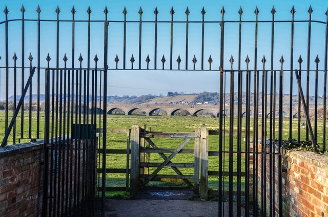
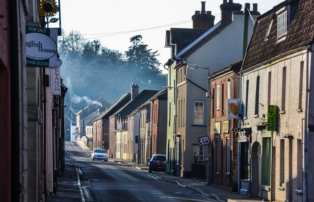
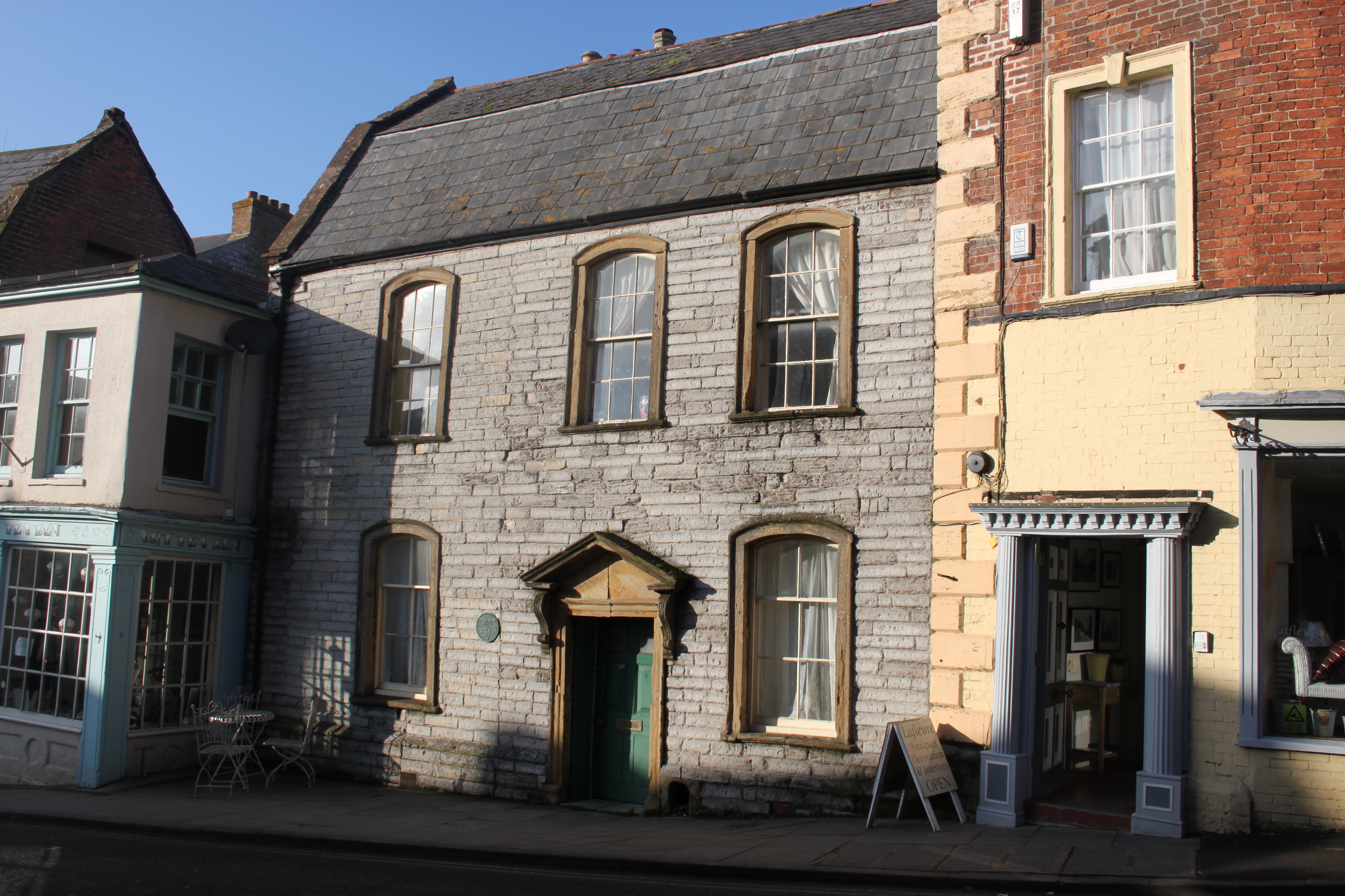
Portway Images
Images are sourced within 2km of 51.033538/-2.8443525 or Grid Reference ST4026. Thanks to Geograph Open Source API. All images are credited.
Portway is located at Grid Ref: ST4026 (Lat: 51.033538, Lng: -2.8443525)
Administrative County: Somerset
District: South Somerset
Police Authority: Avon and Somerset
What 3 Words
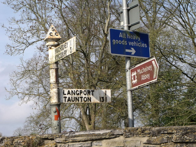
///songs.huddling.cover. Near Langport, Somerset
Nearby Locations
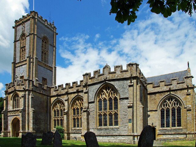
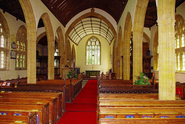
Related Wikis

Warehouse, Langport
The Warehouse in Great Bow Yard Langport, Somerset, England is an example of Victorian industrial architecture. The Warehouse was built in the late 18th...

Langport Town Hall
Langport Town Hall is a municipal building in Bow Street in Langport, Somerset, England. The building, which is the meeting place of Langport Town Council...
Tudor House, Langport
The Tudor House is an 18th-century house in Langport, Somerset, England. It was built in 1776 but had fallen into disrepair until it was bought and restored...

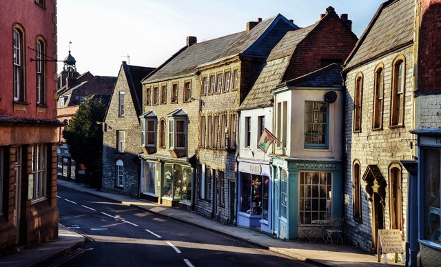
Langport
Langport is a town and civil parish in Somerset, England, 5 miles (8 km) west of Somerton. The parish, which covers only part of the town, has a population...

Langport Rural District
Langport was a rural district in Somerset, England, from 1894 to 1974. It was created in 1894 under the Local Government Act 1894. In 1974 it was abolished...

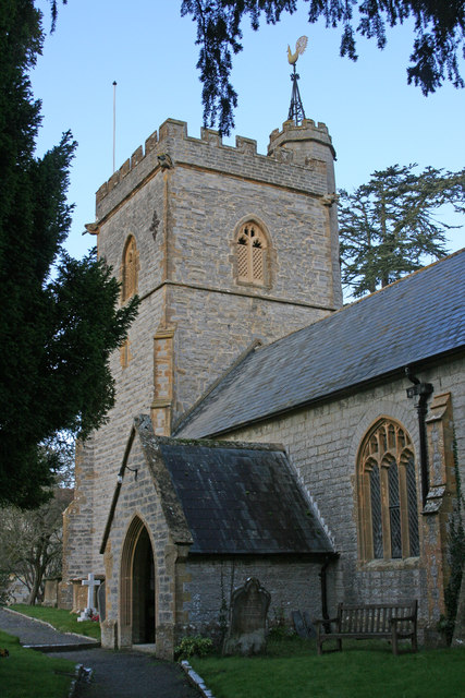
Church of All Saints, Langport
The Church of All Saints in Langport, Somerset, England, has 12th-century origins but was rebuilt in the late 15th century. It is recorded in the National...
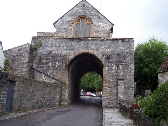
The Hanging Chapel
The Hanging Chapel (more formally known as the Chantry Chapel of the Blessed Virgin Mary) in Langport, Somerset, England is a 13th-century archway, bearing...

River Yeo (South Somerset)
The River Yeo, also known as the River Ivel, is a tributary of the River Parrett in north Dorset and south Somerset, England. The river's names derive...
Related Videos


Nearby Amenities
Located within 500m of 51.033538,-2.8443525Have you been to Portway?
Leave your review of Portway below (or comments, questions and feedback).