Portway

Settlement in Somerset Mendip

England

Portway

Buildings on Leigh Road, Street It was the colonnade to the left that interested me in this view (taken from a bus that was stopped in the town centre) but I haven't managed to find out anything about it.  The building to the right is the library <a href="https://www.geograph.org.uk/photo/4989955">ST4836 : Library - Leigh Road</a>.
Buildings on Leigh Road, Street Credit: Stephen Craven

Portway is a small village located in the county of Somerset, England. Situated on the southern slopes of the Mendip Hills, it is nestled in a picturesque setting surrounded by rolling green fields and meadows. The village is part of the Mendip district and is approximately 10 miles southwest of the city of Bath.

Although Portway is a relatively small settlement, it offers a tranquil and peaceful environment for its residents. The village is characterized by charming traditional stone-built cottages and houses, which give it a quaint and timeless appeal. The community is tight-knit, and the locals enjoy a strong sense of camaraderie and community spirit.

Portway is well-connected to nearby towns and cities, making it an ideal location for those who prefer a quieter lifestyle while still being within reach of urban amenities. The village benefits from excellent transport links, with the A367 road passing nearby, providing easy access to Bath and other surrounding areas.

For nature enthusiasts, Portway is a haven. The village is located close to various natural attractions, including the stunning Cheddar Gorge and the Mendip Hills Area of Outstanding Natural Beauty. These scenic landscapes offer ample opportunities for outdoor activities such as hiking, cycling, and wildlife spotting.

In terms of amenities, Portway has a few local shops and amenities to cater to the daily needs of its residents, while larger supermarkets and services can be found in nearby towns. The village also has a local pub, where residents can socialize and enjoy a pint in a cozy and welcoming atmosphere.

Overall, Portway offers a charming and idyllic countryside setting, making it an attractive place to live for those seeking a peaceful and scenic environment while still being within reach of urban conveniences.

If you have any feedback on the listing, please let us know in the comments section below.
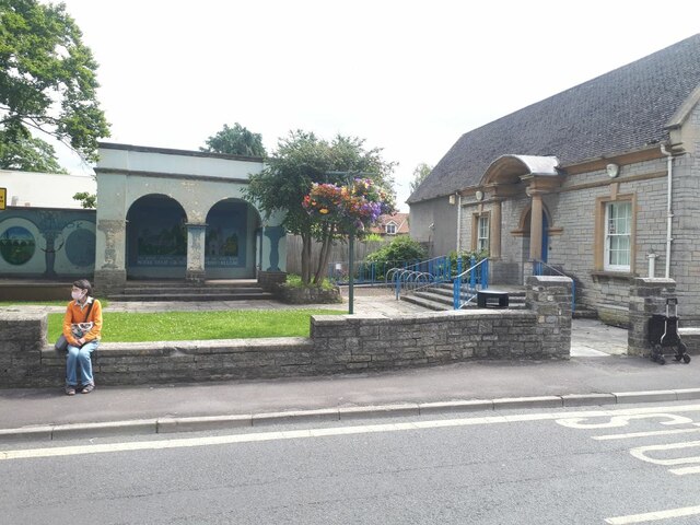
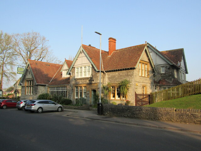
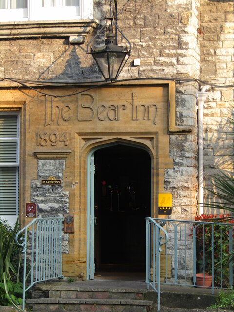
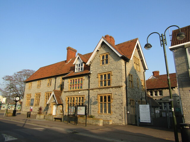
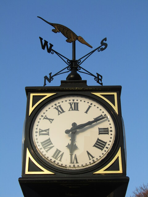
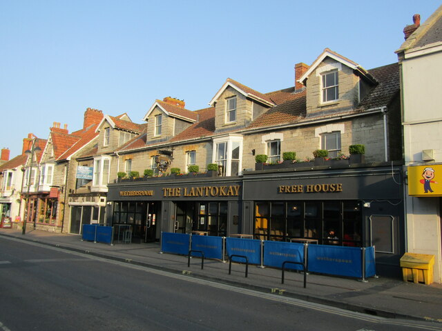
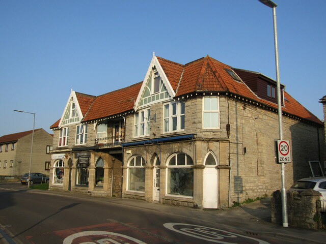
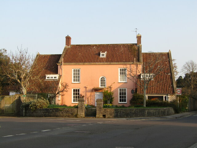
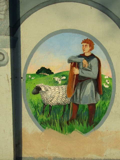
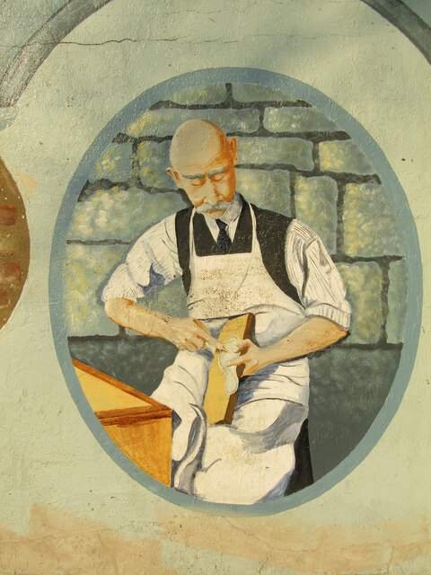
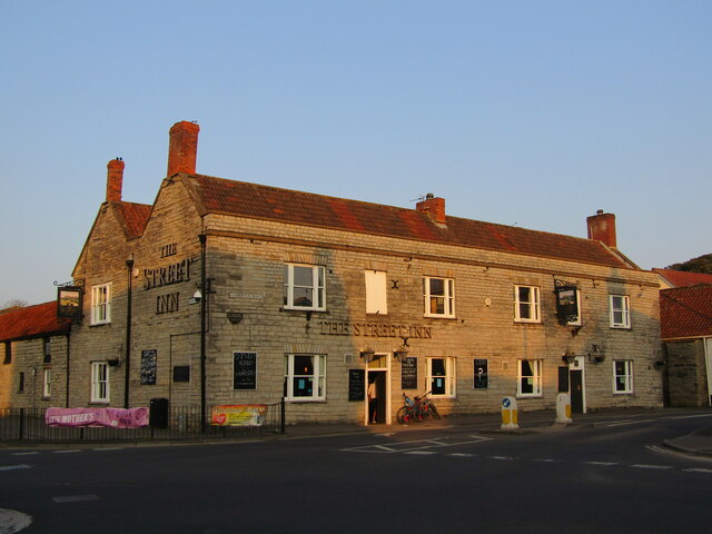
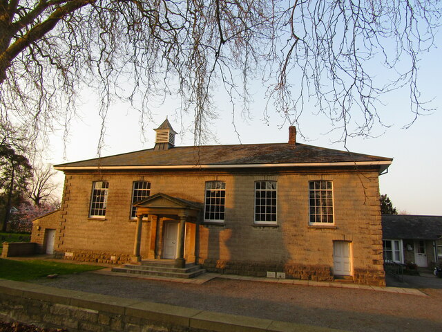
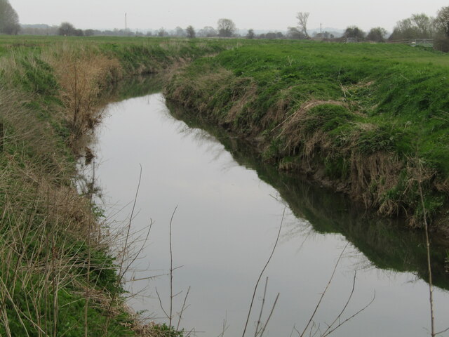
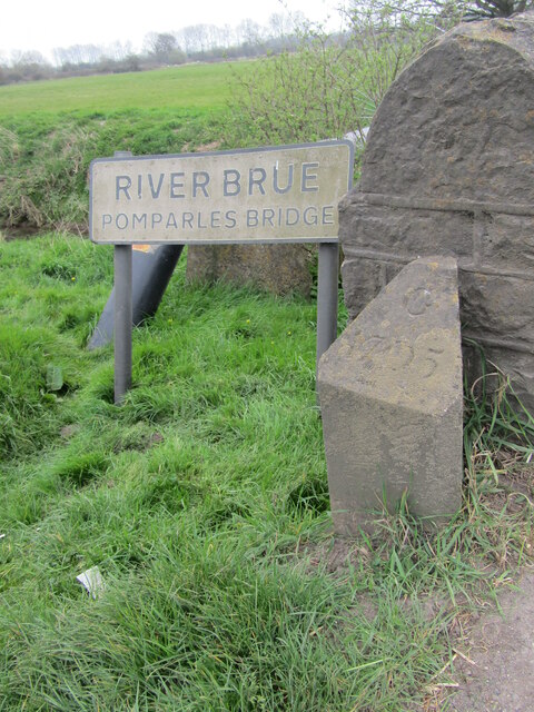
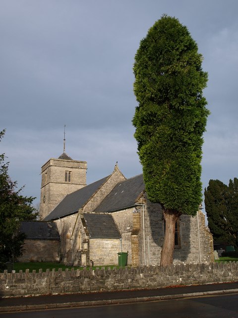
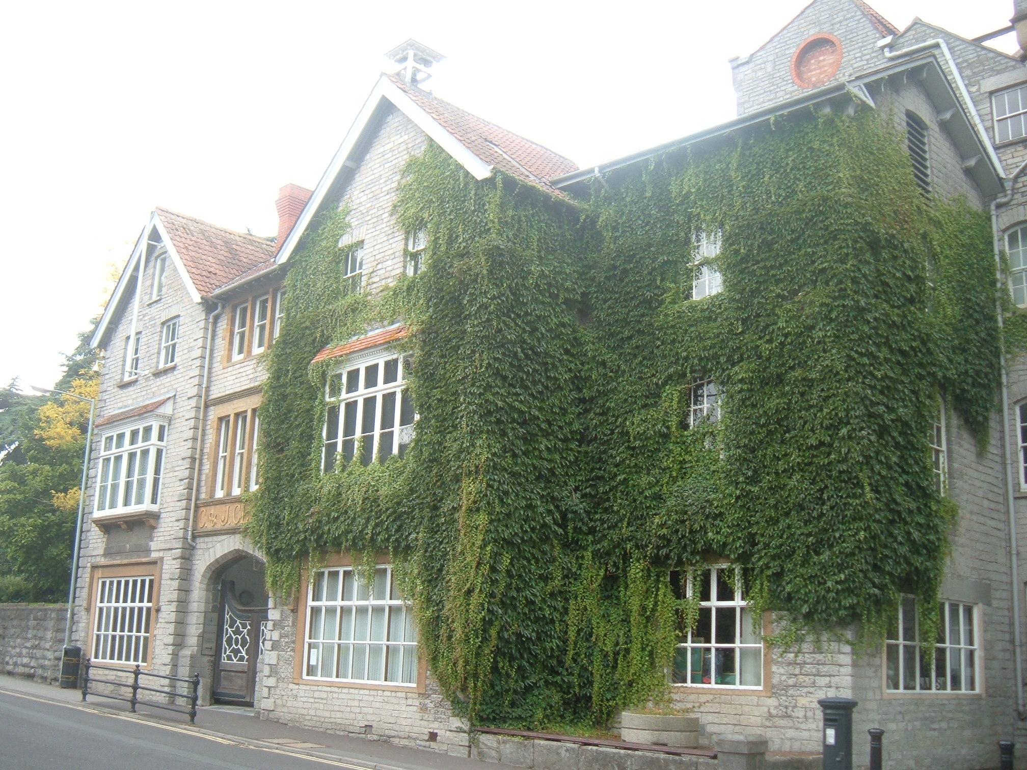
Portway Images

Images are sourced within 2km of 51.119931/-2.734372 or Grid Reference ST4835. Thanks to Geograph Open Source API. All images are credited.

Buildings on Leigh Road, Street It was the colonnade to the left that interested me in this view (taken from a bus that was stopped in the town centre) but I haven't managed to find out anything about it.  The building to the right is the library <a href="https://www.geograph.org.uk/photo/4989955">ST4836 : Library - Leigh Road</a>.
Buildings on Leigh Road, Street
It was the colonnade to the left that interested me in this view (taken from a bus that was stopped in the town centre) but I haven't managed to find out anything about it. The building to the right is the library ST4836 : Library - Leigh Road.
Street - The Bear Inn Historic hostelry facing Clark's shoe factory. Originally a beer & cider house, it later became a temperance hotel in 1894 and was unlicensed until 1976. The Bear is now in the Marston's portfolio.
Street - The Bear Inn
Historic hostelry facing Clark's shoe factory. Originally a beer & cider house, it later became a temperance hotel in 1894 and was unlicensed until 1976. The Bear is now in the Marston's portfolio.
Street - The Bear Inn This old pub carries the date 1894 when it became a Temperance Hotel under the auspices of the Quaker family Clark, owners of the local shoe factory.
It was "dry" till 1976 and is now an inn managed by Marston's Brewery.
Street - The Bear Inn
This old pub carries the date 1894 when it became a Temperance Hotel under the auspices of the Quaker family Clark, owners of the local shoe factory. It was "dry" till 1976 and is now an inn managed by Marston's Brewery.
Street - Crispin Hall Distinctive late 19th century building (b.1885), named after the patron saint of shoemakers - Clark's shoe factory is nearby.
Originally a public hall and library, today the hall contains a cafe and community services.
Street - Crispin Hall
Distinctive late 19th century building (b.1885), named after the patron saint of shoemakers - Clark's shoe factory is nearby. Originally a public hall and library, today the hall contains a cafe and community services.
Street - Town Clock Sited outside Crispin Hall - note the dinosaur finial - ichthyosaur fossils have been found in local quarries (blue lias stone).
Street - Town Clock
Sited outside Crispin Hall - note the dinosaur finial - ichthyosaur fossils have been found in local quarries (blue lias stone).
Street - The Lantokay Large pub on Street's High Street. It is in the Wetherspoon's chain and named after a historic appellation for the town.
Street - The Lantokay
Large pub on Street's High Street. It is in the Wetherspoon's chain and named after a historic appellation for the town.
Street - High Street Distinctive buildings with front gables in the Clark factory town of Street.
Street - High Street
Distinctive buildings with front gables in the Clark factory town of Street.
Street - "The Pink House" Historic house in the Clark's factory town of Street.
Street - "The Pink House"
Historic house in the Clark's factory town of Street.
Street - Twin Town Mural Showing the parish churches of Street, Notre Dame de Gravenchon and Isny im Allgaeu. Shame that graffiti has been daubed.
Street - Twin Town Mural
Showing the parish churches of Street, Notre Dame de Gravenchon and Isny im Allgaeu. Shame that graffiti has been daubed.
Street - Shepherd Mural Artwork depicting an earlier age in the old market town.
Street - Shepherd Mural
Artwork depicting an earlier age in the old market town.
Street - Shoemaker Mural Artwork depicting industry in this market town - the shoe factory (started 1825) of Clark's shoes is in Street.
Street - Shoemaker Mural
Artwork depicting industry in this market town - the shoe factory (started 1825) of Clark's shoes is in Street.
Street - Shoe Industry Mural The town of Street is where C&J Clark founded their famous shoe-making company in 1825.
Street - Shoe Industry Mural
The town of Street is where C&J Clark founded their famous shoe-making company in 1825.
Street - Mural Mural of a female guitarist, in a small park opposite Crispin Hall.
Street - Mural
Mural of a female guitarist, in a small park opposite Crispin Hall.
Street - The Street Inn Large pub at a main road junction, facing the north end of Street's High Street.
Street - The Street Inn
Large pub at a main road junction, facing the north end of Street's High Street.
Street - Quaker Meeting House Built in 1850 at the behest of local shoe-making barons, the Clark family.
Street - Quaker Meeting House
Built in 1850 at the behest of local shoe-making barons, the Clark family.
Glastonbury - River Brue Flat and very low lying land close to mean sea level, with many canalised drainage ditches between Glastonbury and Street.
Glastonbury - River Brue
Flat and very low lying land close to mean sea level, with many canalised drainage ditches between Glastonbury and Street.
River Brue - Pomparles Bridge Roadside sign at the bridge spanning the River Brue between Glastonbury and Street. Note the historic boundary stone, incised G 1705.
River Brue - Pomparles Bridge
Roadside sign at the bridge spanning the River Brue between Glastonbury and Street. Note the historic boundary stone, incised G 1705.
Glastonbury - Pons Perilis Archaic name carved on today's Pomparles Bridge which carries the Glastonbury-Street road over the River Brue. The crossing would have been hazardous for medieval and earlier travellers. 
A pipe bridge also crosses the river here.
Glastonbury - Pons Perilis
Archaic name carved on today's Pomparles Bridge which carries the Glastonbury-Street road over the River Brue. The crossing would have been hazardous for medieval and earlier travellers. A pipe bridge also crosses the river here.
Show me another place!

Portway is located at Grid Ref: ST4835 (Lat: 51.119931, Lng: -2.734372)

Administrative County: Somerset

District: Mendip

Police Authority: Avon and Somerset

What 3 Words

///dock.easygoing.snowballs. Near Street, Somerset

Related Wikis

Street, Somerset

Street is a large village and civil parish in Somerset, England, with a population of 11,805 in 2011. On a dry spot in the Somerset Levels, at the end...

Millfield

Millfield is a public school (English fee-charging boarding and day school for pupils aged 13–18) located in Street, Somerset, England. It was founded...

Street Mission Church

Street Mission Church is a Church of England church in Street, Somerset, England. The church was built in 1990 on the site of an earlier tin tabernacle...

Street Methodist Church

Street Methodist Church is a Methodist church in Street, Somerset, England. It was designed by Henry Hawkins and George Alves and built in 1893. ��2�...

Street F.C.

Street Football Club are a football club based in Street in Somerset, England. They are currently members of the Western League Premier Division and play...

United Reformed Church, Street

The United Reformed Church (originally known as the Congregational Chapel) is a United Reformed Church in Street, Somerset, England. It was designed by...

Clarks Village

Clarks Village is an outlet shopping village in Street, Somerset, England. It was established in 1993 on the site of old C&J Clark factory buildings....

The Shoe Museum

The Shoe Museum in Street, Somerset, England exhibited shoes dating from the Roman era to the present day. The museum closed on 27 September 2019.It showed...

Nearby Amenities

Located within 500m of 51.119931,-2.734372
Pub
Elms Inn
Operator: London Town Pubs
Lat/Long: 51.123321/-2.731282
Barrier: yes
Lat/Long: 51.1226718/-2.7307519
Post Box
Brand: Royal Mail
Brand Wikidata: Q638098
Brand Wikipedia: en:Royal Mail
Operator: Royal Mail
Operator Wikidata: Q638098
Post Box Type: pillar
Ref: BA16 3D
Royal Cypher: GR
Royal Cypher Wikidata: Q33102273
Lat/Long: 51.1206816/-2.7410969
Morrisons Daily
Brand: Morrisons Daily
Brand Wikidata: Q99752411
Operator: McColl's
Operator Wikidata: Q16997477
Shop: convenience
Website: https://my.morrisons.com/storefinder/65961/morrisons-daily-street-ivythorn-road
Lat/Long: 51.1206707/-2.7409896
Generator Method: photovoltaic
Generator Output Electricity: yes
Generator Source: solar
Generator Type: solar_photovoltaic_panel
Location: roof
Power: generator
Lat/Long: 51.1191066/-2.7403942
Generator Method: photovoltaic
Generator Output Electricity: yes
Generator Source: solar
Generator Type: solar_photovoltaic_panel
Location: roof
Power: generator
Lat/Long: 51.1195182/-2.7405712
Generator Method: photovoltaic
Generator Output Electricity: yes
Generator Source: solar
Generator Type: solar_photovoltaic_panel
Location: roof
Power: generator
Lat/Long: 51.1220613/-2.739155
Generator Method: photovoltaic
Generator Output Electricity: yes
Generator Source: solar
Generator Type: solar_photovoltaic_panel
Location: roof
Power: generator
Lat/Long: 51.1220966/-2.7392167
Generator Method: photovoltaic
Generator Output Electricity: yes
Generator Source: solar
Generator Type: solar_photovoltaic_panel
Location: roof
Power: generator
Lat/Long: 51.1210865/-2.738699
Generator Method: photovoltaic
Generator Output Electricity: yes
Generator Source: solar
Generator Type: solar_photovoltaic_panel
Location: roof
Power: generator
Lat/Long: 51.1210107/-2.7386963
Generator Method: photovoltaic
Generator Output Electricity: yes
Generator Source: solar
Generator Type: solar_photovoltaic_panel
Location: roof
Power: generator
Lat/Long: 51.1174751/-2.7390531
Generator Method: photovoltaic
Generator Output Electricity: yes
Generator Source: solar
Generator Type: solar_photovoltaic_panel
Location: roof
Power: generator
Lat/Long: 51.1192026/-2.7371594
Generator Method: photovoltaic
Generator Output Electricity: yes
Generator Source: solar
Generator Type: solar_photovoltaic_panel
Location: roof
Power: generator
Lat/Long: 51.1190426/-2.7357674
Generator Method: photovoltaic
Generator Output Electricity: yes
Generator Source: solar
Generator Type: solar_photovoltaic_panel
Location: roof
Power: generator
Lat/Long: 51.119541/-2.7354938
Generator Method: photovoltaic
Generator Output Electricity: yes
Generator Source: solar
Generator Type: solar_photovoltaic_panel
Location: roof
Power: generator
Lat/Long: 51.1197935/-2.7358452
Generator Method: photovoltaic
Generator Output Electricity: yes
Generator Source: solar
Generator Type: solar_photovoltaic_panel
Location: roof
Power: generator
Lat/Long: 51.1217507/-2.738235
Generator Method: photovoltaic
Generator Output Electricity: yes
Generator Source: solar
Generator Type: solar_photovoltaic_panel
Location: roof
Power: generator
Lat/Long: 51.1211589/-2.7383141
Generator Method: photovoltaic
Generator Output Electricity: yes
Generator Source: solar
Generator Type: solar_photovoltaic_panel
Location: roof
Power: generator
Lat/Long: 51.1212212/-2.7383114
Generator Method: photovoltaic
Generator Output Electricity: yes
Generator Source: solar
Generator Type: solar_photovoltaic_panel
Location: roof
Power: generator
Lat/Long: 51.1215874/-2.7382417
Generator Method: photovoltaic
Generator Output Electricity: yes
Generator Source: solar
Generator Type: solar_photovoltaic_panel
Location: roof
Power: generator
Lat/Long: 51.1215983/-2.7376583
Generator Method: photovoltaic
Generator Output Electricity: yes
Generator Source: solar
Generator Type: solar_photovoltaic_panel
Location: roof
Power: generator
Lat/Long: 51.1214914/-2.7375537
Generator Method: photovoltaic
Generator Output Electricity: yes
Generator Source: solar
Generator Type: solar_photovoltaic_panel
Location: roof
Power: generator
Lat/Long: 51.121366/-2.7374853
Generator Method: photovoltaic
Generator Output Electricity: yes
Generator Source: solar
Generator Type: solar_photovoltaic_panel
Location: roof
Power: generator
Lat/Long: 51.1213054/-2.7374934
Generator Method: photovoltaic
Generator Output Electricity: yes
Generator Source: solar
Generator Type: solar_photovoltaic_panel
Location: roof
Power: generator
Lat/Long: 51.1212389/-2.737425
Generator Method: photovoltaic
Generator Output Electricity: yes
Generator Source: solar
Generator Type: solar_photovoltaic_panel
Location: roof
Power: generator
Lat/Long: 51.1211109/-2.7373619
Generator Method: photovoltaic
Generator Output Electricity: yes
Generator Source: solar
Generator Type: solar_photovoltaic_panel
Location: roof
Power: generator
Lat/Long: 51.1225116/-2.7365224
Generator Method: photovoltaic
Generator Output Electricity: yes
Generator Source: solar
Generator Type: solar_photovoltaic_panel
Location: roof
Power: generator
Lat/Long: 51.1226034/-2.7353248
Generator Method: photovoltaic
Generator Output Electricity: yes
Generator Source: solar
Generator Type: solar_photovoltaic_panel
Location: roof
Power: generator
Lat/Long: 51.1228357/-2.7320364
Generator Method: photovoltaic
Generator Output Electricity: yes
Generator Source: solar
Generator Type: solar_photovoltaic_panel
Location: roof
Power: generator
Lat/Long: 51.1228407/-2.7332649
Generator Method: photovoltaic
Generator Output Electricity: yes
Generator Source: solar
Generator Type: solar_photovoltaic_panel
Location: roof
Power: generator
Lat/Long: 51.1228357/-2.7333427
Generator Method: photovoltaic
Generator Output Electricity: yes
Generator Source: solar
Generator Type: solar_photovoltaic_panel
Location: roof
Power: generator
Lat/Long: 51.1226623/-2.7328357
Generator Method: photovoltaic
Generator Output Electricity: yes
Generator Source: solar
Generator Type: solar_photovoltaic_panel
Location: roof
Power: generator
Lat/Long: 51.1218996/-2.7324495
Generator Method: photovoltaic
Generator Output Electricity: yes
Generator Source: solar
Generator Type: solar_photovoltaic_panel
Location: roof
Power: generator
Lat/Long: 51.1215528/-2.7330664
Generator Method: photovoltaic
Generator Output Electricity: yes
Generator Source: solar
Generator Type: solar_photovoltaic_panel
Location: roof
Power: generator
Lat/Long: 51.1197228/-2.7320726
Generator Method: photovoltaic
Generator Output Electricity: yes
Generator Source: solar
Generator Type: solar_photovoltaic_panel
Location: roof
Power: generator
Lat/Long: 51.1198087/-2.7342492
Generator Method: photovoltaic
Generator Output Electricity: yes
Generator Source: solar
Generator Type: solar_photovoltaic_panel
Location: roof
Power: generator
Lat/Long: 51.1199686/-2.7344102
Generator Method: photovoltaic
Generator Output Electricity: yes
Generator Source: solar
Generator Type: solar_photovoltaic_panel
Location: roof
Power: generator
Lat/Long: 51.1200174/-2.7343163
Generator Method: photovoltaic
Generator Output Electricity: yes
Generator Source: solar
Generator Type: solar_photovoltaic_panel
Location: roof
Power: generator
Lat/Long: 51.1203255/-2.732082
Generator Method: photovoltaic
Generator Output Electricity: yes
Generator Source: solar
Generator Type: solar_photovoltaic_panel
Location: roof
Power: generator
Lat/Long: 51.1199854/-2.7329645
Generator Method: photovoltaic
Generator Output Electricity: yes
Generator Source: solar
Generator Type: solar_photovoltaic_panel
Location: roof
Power: generator
Lat/Long: 51.1195612/-2.7326131
Generator Method: photovoltaic
Generator Output Electricity: yes
Generator Source: solar
Generator Type: solar_photovoltaic_panel
Location: roof
Power: generator
Lat/Long: 51.1180156/-2.729153
Generator Method: photovoltaic
Generator Output Electricity: yes
Generator Source: solar
Generator Type: solar_photovoltaic_panel
Location: roof
Power: generator
Lat/Long: 51.1192716/-2.7306256
Generator Method: photovoltaic
Generator Output Electricity: yes
Generator Source: solar
Generator Type: solar_photovoltaic_panel
Location: roof
Power: generator
Lat/Long: 51.1197211/-2.7300596
Generator Method: photovoltaic
Generator Output Electricity: yes
Generator Source: solar
Generator Type: solar_photovoltaic_panel
Location: roof
Power: generator
Lat/Long: 51.1209518/-2.7304083
Generator Method: photovoltaic
Generator Output Electricity: yes
Generator Source: solar
Generator Type: solar_photovoltaic_panel
Location: roof
Power: generator
Lat/Long: 51.1242481/-2.7327982
The data included in this document is from www.openstreetmap.org. The data is made available under ODbL.

Have you been to Portway?

Leave your review of Portway below (or comments, questions and feedback).