Wick
Settlement in Gloucestershire
England
Wick

Wick is a small village located in the county of Gloucestershire, England. Situated in the Cotswolds, Wick is nestled in a picturesque rural setting, surrounded by rolling hills and lush green countryside. The village is part of the Tewkesbury Borough and lies approximately 8 miles northeast of the town of Tewkesbury.
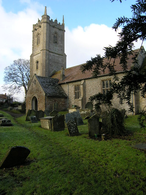
With a population of around 500 residents, Wick maintains a close-knit community atmosphere. The village is characterized by its charming traditional Cotswold stone houses, which give it a timeless and quintessentially English feel. The local church, St. Bartholomew's, stands proudly at the heart of the village and is a notable architectural landmark.
Wick offers a range of amenities to its residents, including a primary school, village hall, and a post office. The village also has a pub, the Royal Oak, which serves as a central gathering place for locals and visitors alike. The surrounding countryside provides ample opportunities for outdoor activities, such as hiking, cycling, and horse riding.
While Wick is primarily a residential area, it benefits from its proximity to nearby towns and cities. The town of Tewkesbury offers a wider range of amenities, including supermarkets, shops, and leisure facilities. The city of Gloucester, situated approximately 15 miles to the east, provides additional options for employment, education, and entertainment.
Overall, Wick offers a tranquil and idyllic setting for those seeking a peaceful village lifestyle within reach of larger urban centers.
If you have any feedback on the listing, please let us know in the comments section below.
Wick Images
Images are sourced within 2km of 51.453583/-2.430516 or Grid Reference ST7072. Thanks to Geograph Open Source API. All images are credited.


Wick is located at Grid Ref: ST7072 (Lat: 51.453583, Lng: -2.430516)
Unitary Authority: South Gloucestershire
Police Authority: Avon and Somerset
What 3 Words
///onions.ages.gives. Near Wick, Gloucestershire
Nearby Locations
Related Wikis
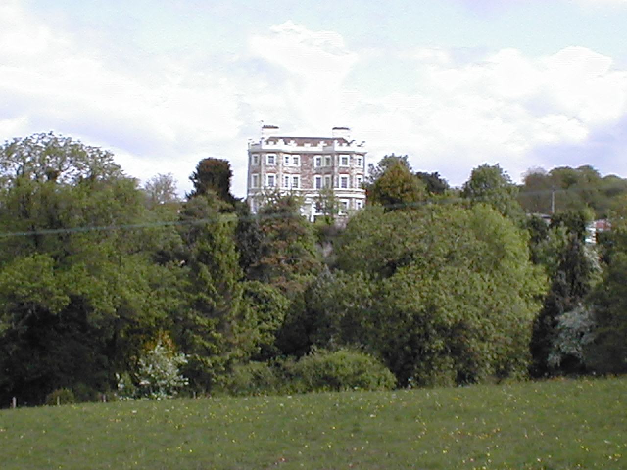
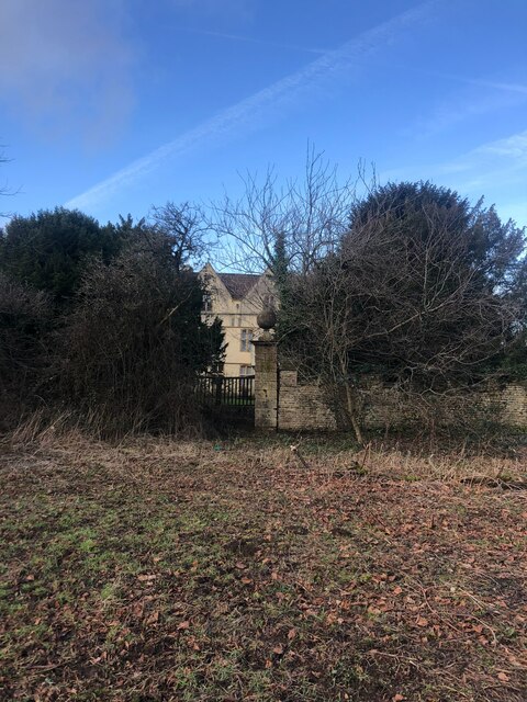
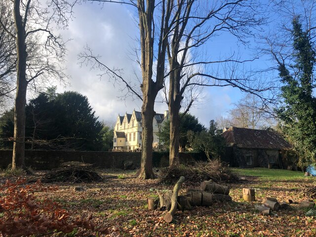
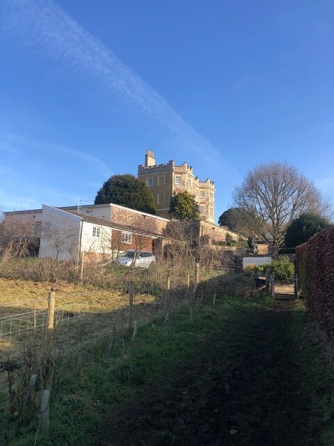
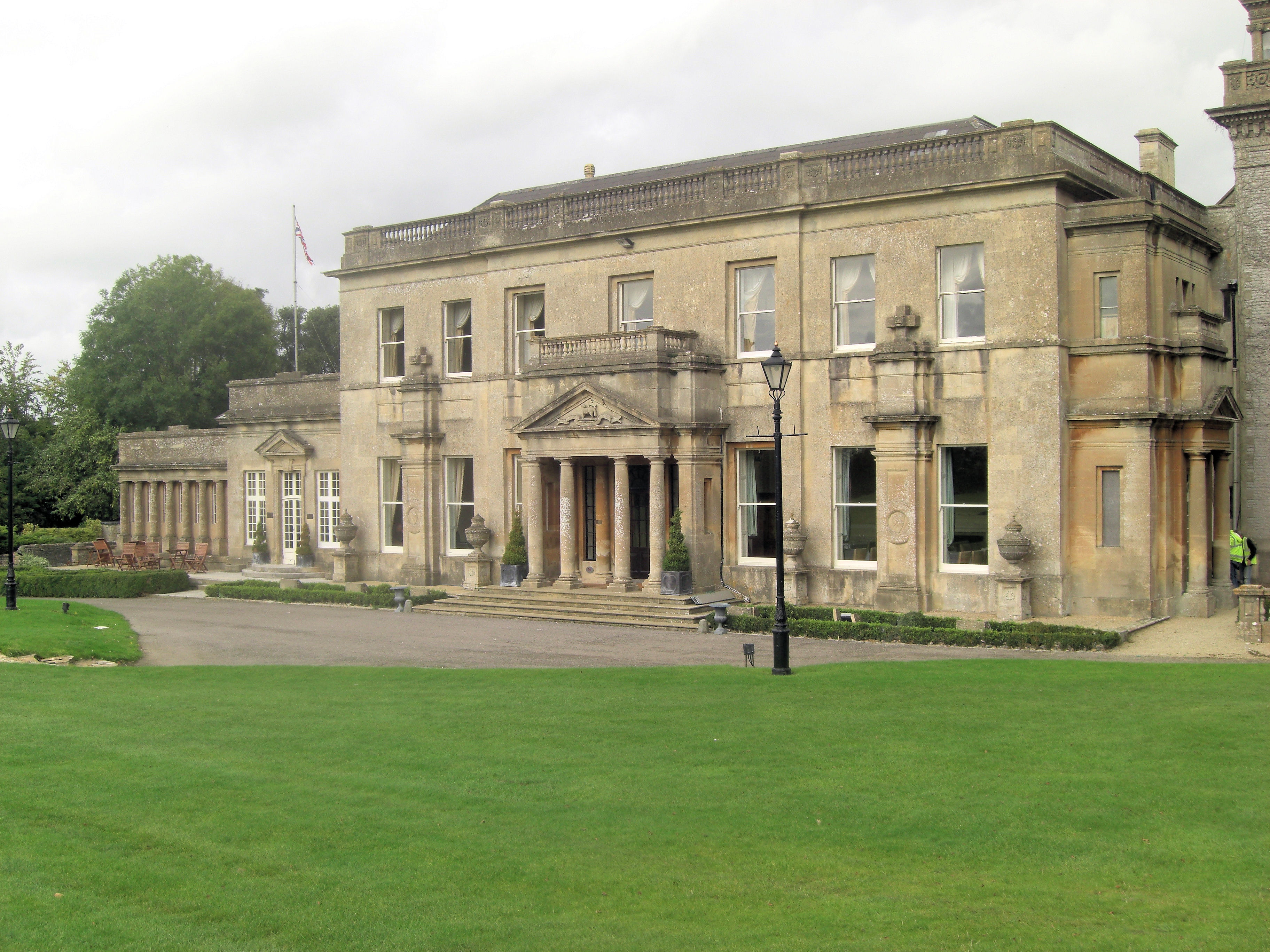
Bury Manor
Bury Manor Castle is an early 19th-century house in the village of Wick, South Gloucestershire, England. It was built in Gothic Revival style. The three...
Wick, Gloucestershire
Wick is a village in South Gloucestershire, England. It is the main settlement in the civil parish of Wick and Abson. The population of this civil parish...
Tracy Park
Tracy Park is an estate near Wick, South Gloucestershire, close to the boundary with Bath and North East Somerset and approximately 5 miles (8.0 km) from...
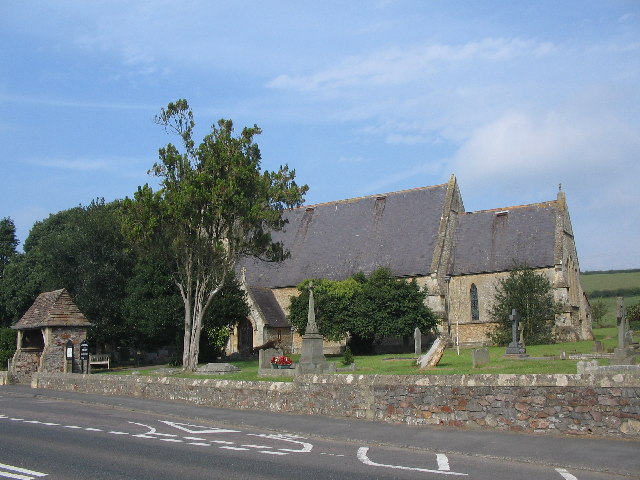
Abson
Abson is a small village in South Gloucestershire, England, it forms part of the civil parish of Wick and Abson. == Location == Abson is located on a minor...
Nearby Amenities
Located within 500m of 51.453583,-2.430516Have you been to Wick?
Leave your review of Wick below (or comments, questions and feedback).