Western Heights
Settlement in Kent Dover
England
Western Heights
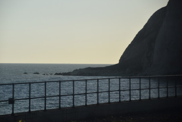
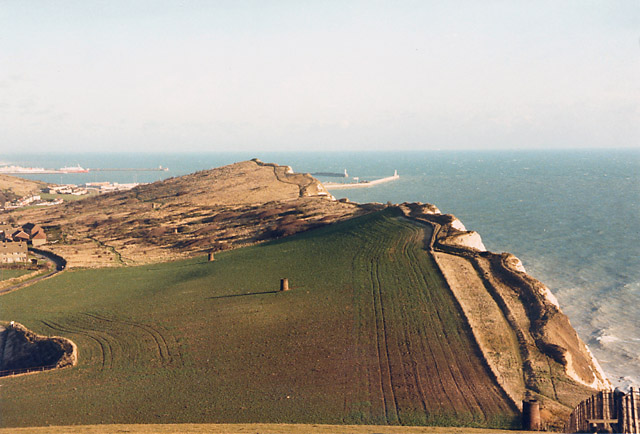
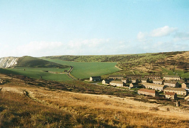
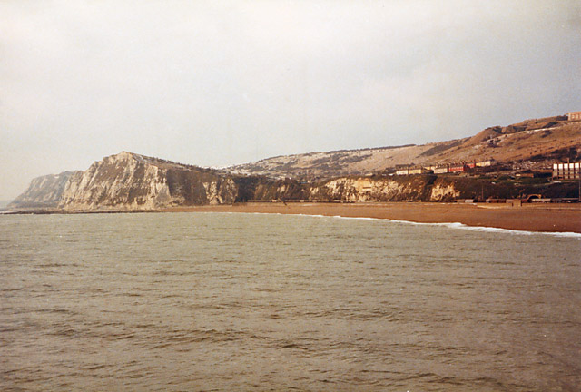
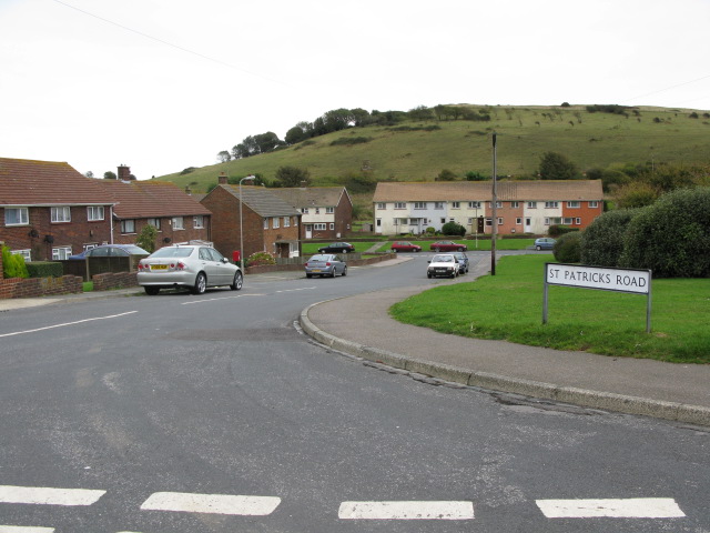
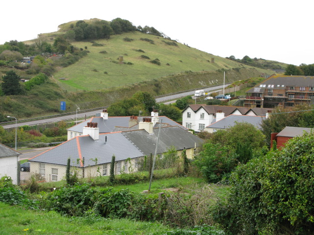
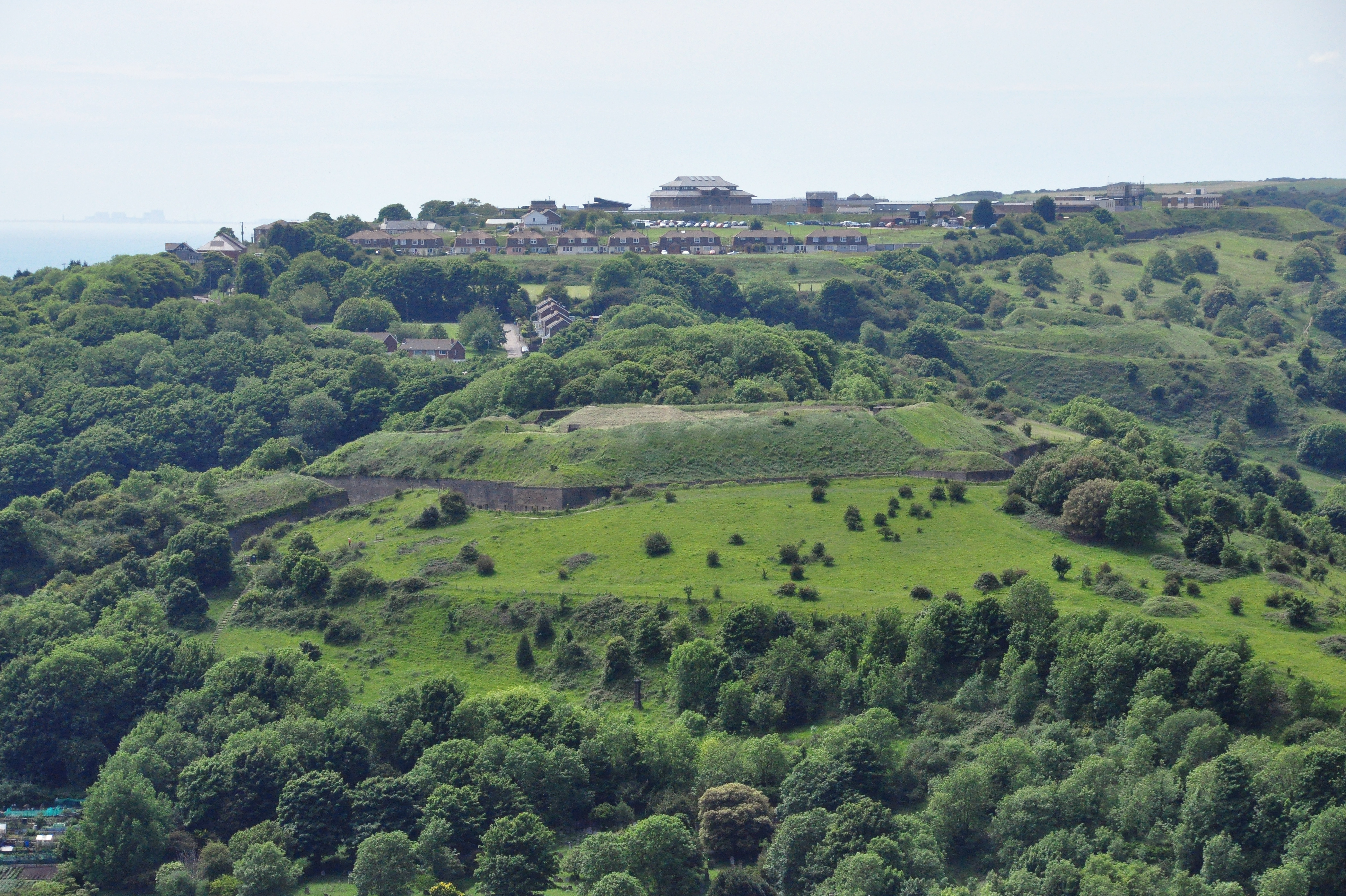
Western Heights is a historic site located in Dover, Kent, England. It is situated on high ground to the west of the town and overlooks the English Channel. The site is known for its extensive network of fortifications and military structures, dating back to the 18th century.
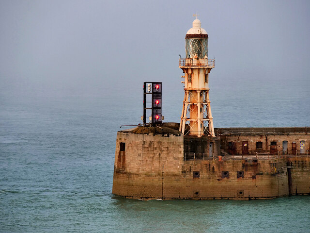
Originally built as a defensive system to protect the town and the nearby Dover Castle, Western Heights became an integral part of Britain's coastal defense strategy. The fortifications consist of a series of ramparts, ditches, tunnels, and gun batteries, spanning over a mile in length. The site played a significant role during various conflicts, including the Napoleonic Wars and World War II.
Visitors to Western Heights can explore the well-preserved fortifications, which offer stunning panoramic views of the coast and the town of Dover. The underground tunnels, known as the Grand Shaft, are particularly noteworthy, featuring intricate brickwork and spiral staircases.
In addition to its military significance, Western Heights is also home to a diverse range of flora and fauna. The site has been designated as a Local Nature Reserve, attracting nature enthusiasts and birdwatchers.
Today, Western Heights is maintained by the Western Heights Preservation Society, which works to safeguard and promote the historical importance of the site. Guided tours and educational activities are available, providing visitors with insights into the rich military heritage of Western Heights and its enduring impact on the region.
If you have any feedback on the listing, please let us know in the comments section below.
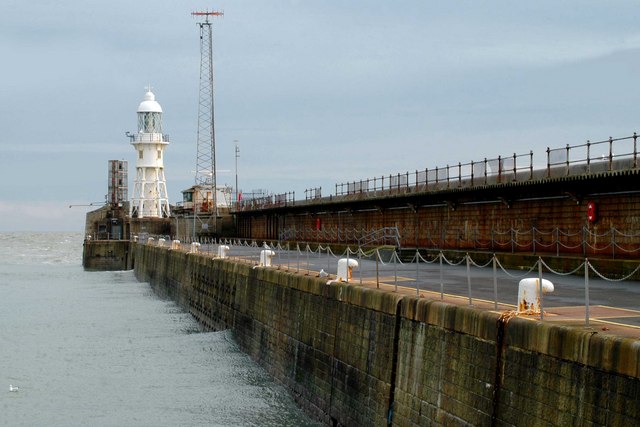
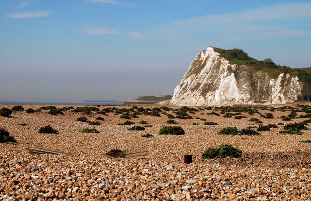
Western Heights Images
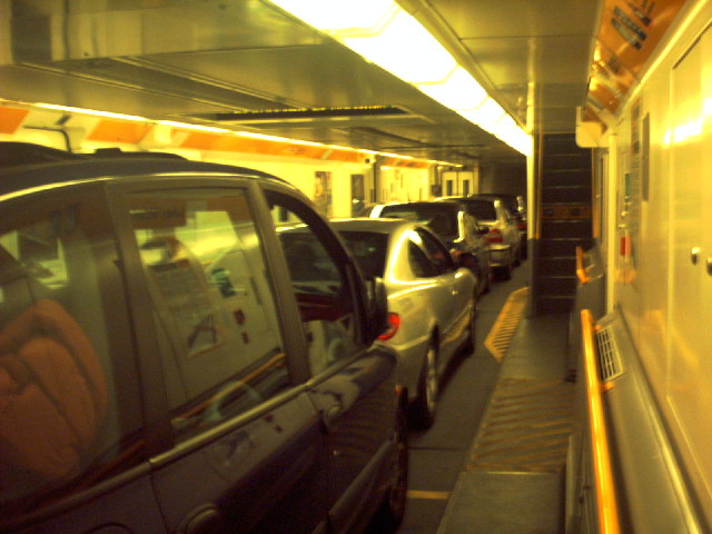
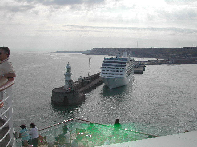
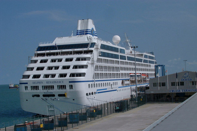
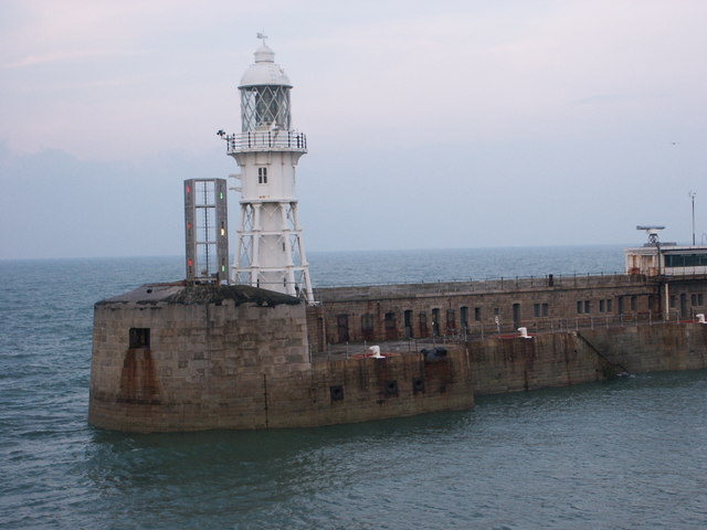
Images are sourced within 2km of 51.119635/1.3050176 or Grid Reference TR3140. Thanks to Geograph Open Source API. All images are credited.
Western Heights is located at Grid Ref: TR3140 (Lat: 51.119635, Lng: 1.3050176)
Administrative County: Kent
District: Dover
Police Authority: Kent
What 3 Words
///enveloped.stormy.solved. Near Dover, Kent
Nearby Locations
Related Wikis

Knights Templar Church, Dover
The Knights Templar Church in Dover is the ruins of a medieval church on Bredenstone hill, part of the Dover Western Heights in Kent, England. It has been...
Dover Western Heights
The Western Heights of Dover are one of the most impressive fortifications in Britain. They comprise a series of forts, strong points and ditches, designed...
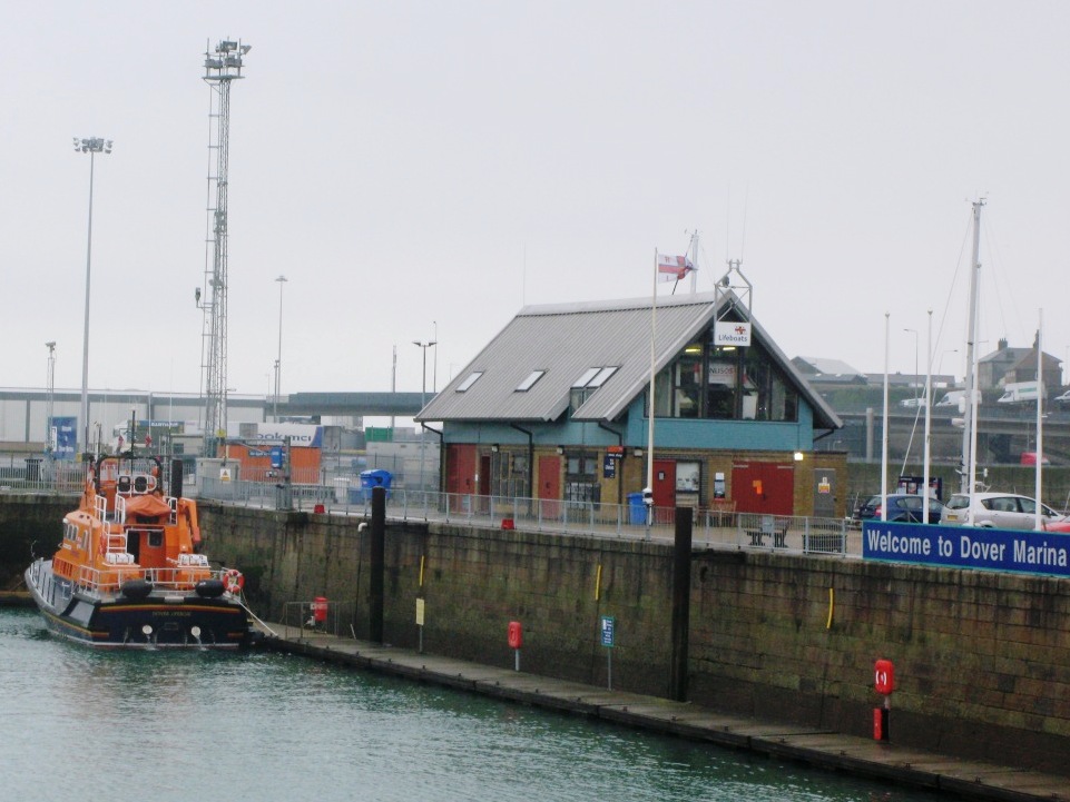
Dover Lifeboat Station
Dover Lifeboat Station is a Royal National Lifeboat Institution (RNLI) lifeboat station located in the town of Dover in the English county of Kent. The...

Dover lorry deaths
On 18 June 2000, just before midnight, 58 dead bodies were found in a lorry in the port town of Dover, United Kingdom. Two people were found alive but...
Nearby Amenities
Located within 500m of 51.119635,1.3050176Have you been to Western Heights?
Leave your review of Western Heights below (or comments, questions and feedback).